Baconao tide times
Baconao tide forecast — heights relative to MSL.
Today's tide times for Baconao
Tide times at Baconao on Sunday, 21 June 2026: first high tide at 02:00am, first low tide at 09:50pm. Sunrise 06:23am, sunset 07:43pm.
Tide chart for Baconao
24-hour cosine-interpolated curve around the present moment. Heights relative to MSL. Predictions: Predictions: Open-Meteo Marine (MeteoFrance SMOC, 0.08° grid).
Sun, moon and conditions on Sun 21 Jun
Snapshot at build time — refreshes daily. Sea state from Open-Meteo Marine.
Highs and lows next 7 days
Every predicted high and low for the next week, with the daily tidal coefficient (0–120; higher = bigger swing, > 95 means stronger currents).
Other spots nearby
The three closest curated TideTurtle locations to Baconao, measured by great-circle distance.
Today's solunar windows
Solunar tradition: major periods are the ≈3h windows around moon transit and opposition; minor are ≈2h around moonrise and moonset. Pair with the local tide stage and wind for the best read.
Cycle dates near Baconao
Next spring tide on Fri 26 Jun (range 0.3m). Next neap on Wed 24 Jun.
Spring tides cluster around new and full moons (biggest swings). Neap tides land on quarter moons (smallest swings). See the spring tide and neap tide glossary entries for the why.
About tides at Baconao
A short guide to the coastline at Baconao — geography, sea state, and what the tide is actually doing under your feet.
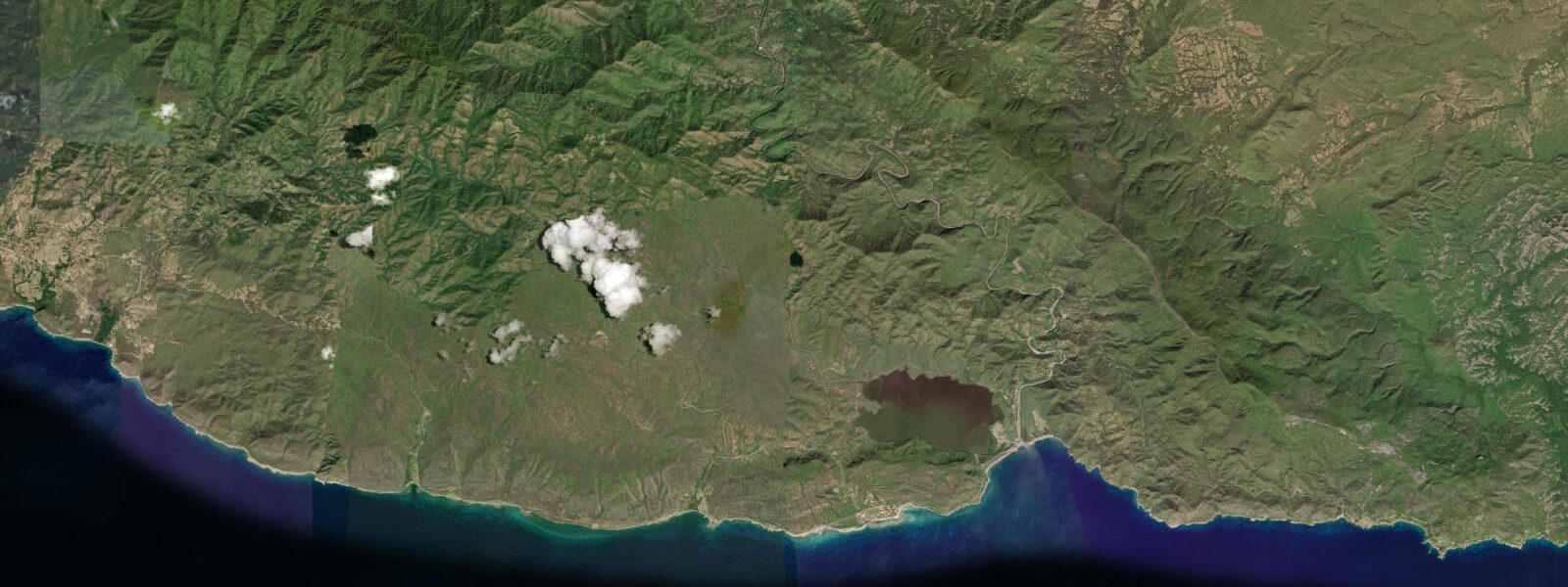
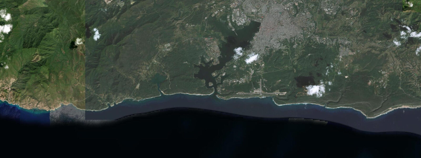
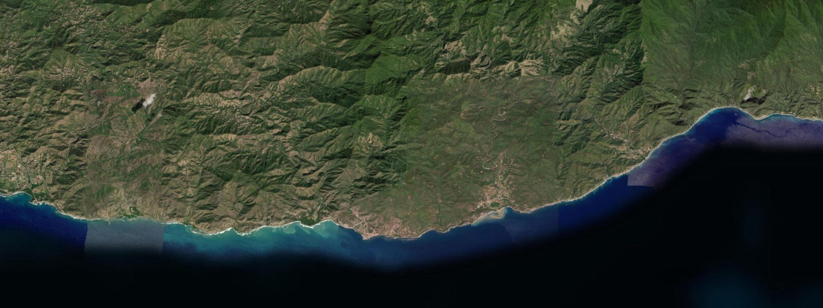
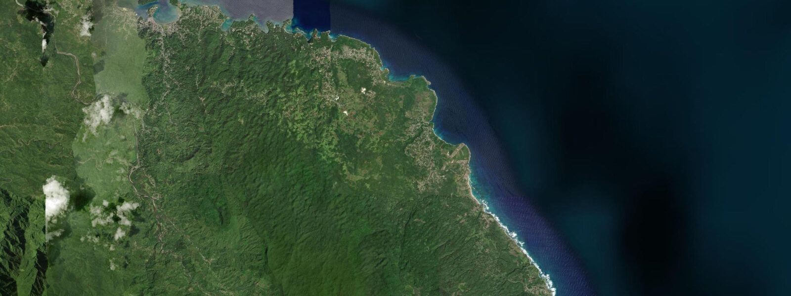
Baconao extends along the south coast of Santiago de Cuba province east of the city, from the Río Baconao mouth to Punta Caleta, a stretch of roughly 30 km of coast designated as the Parque Baconao — a UNESCO Biosphere Reserve since 1987. The terrain here differs from the dramatic cliffs of the Chivirico section to the west: low hills covered in dry tropical scrub back the coast, with sandy beaches interrupted by rocky headlands and a scatter of small rivers running down from the interior. The Caribbean exposure is direct — this coast faces south and southeast without significant offshore shelter, making it more exposed to open Caribbean swell than the inner harbour of Santiago or the cliff-shielded anchorages of the Chivirico section.
The tidal regime is mixed semidiurnal Caribbean microtidal. Mean spring range on this south-facing open coast runs roughly 30 to 50 cm, with the same two-unequal-highs, two-unequal-lows daily pattern characteristic of the mixed Caribbean tide. The diurnal inequality produces one stronger daily high and one weaker high; on neap tides the swing compresses to 15 to 25 cm. Weather drivers — Caribbean swell from the southeast, the Windward Passage wind regime, and occasional tropical disturbance — produce water-level changes that frequently exceed the astronomical signal. The Instituto Cubano de Hidrografía (GEOCUBA) is the authoritative tidal reference; predictions on this page come from Open-Meteo Marine, a gridded global ocean model, accurate to approximately ±45 min and ±0.2–0.3 m.
The Valle de la Prehistoria, roughly 2 km inland from the coast at the Baconao reserve, is an open-air sculpture park of 227 life-size concrete dinosaurs and prehistoric humans, built by Cuban military recruits in the 1980s across a hillside of low scrub. It is the most-visited single attraction in the reserve and a useful orientation point for the coast road east of Santiago city. The park itself sits at about 80 m elevation; on a clear day the overlook behind the main entrance has a view southwest over the dry hill country toward the coast.
For beach access, the reserve encompasses several beaches accessible from the coast road (the Vía Baconao, which runs east from Santiago city through Siboney toward the reserve). Playa Siboney, roughly 15 km from Santiago, is the most established beach in the area — a working fishing village with a small beach used by Santiago residents for weekend visits. Playa Cazonal and Playa Baconao further east are quieter. The beach slope at Baconao is moderate to steep compared to the gentle Atlantic-slope beaches of northern Cuba; the south-Caribbean exposure means the swell approach varies more with Caribbean weather patterns than with the tide.
For snorkellers and divers, the rocky headlands between the sandy beach sections hold patch reef communities at shallow depth. Visibility on the open-Caribbean-facing headlands depends on sea state more than on tide state; the low-current conditions just after the predicted high or low give the clearest window in calm weather. The Biosphere Reserve designation prohibits commercial extraction within the protected zone, so spearfishing and shellfish collection are restricted.
Shore anglers work the rocky points between beaches for jack crevalle and snapper on the incoming tide, with the pre-dawn to early morning window the most productive. The mouth of the Río Baconao at the western end of the reserve is a mangrove estuary that holds tarpon, snook, and juvenile fish on the flooding tide; local anglers wade the estuary channels on the early flood, typically two to three hours before the predicted high.
Photographers have a coastline that rewards patience. The contrast between the dry, low-scrub hills and the turquoise Caribbean water is strongest in morning light from the east. The beach at Playa Cazonal has a clean sweep of sand with no resort infrastructure in the immediate frame. The Valle de la Prehistoria at dusk, with the low-angle light catching the concrete sculpture surfaces and the dry scrub silhouetted behind them, is an unusual and photogenic subject.
Predictions on this page come from Open-Meteo Marine. Accuracy is typically ±45 min and ±0.2–0.3 m. GEOCUBA harmonic predictions are the authoritative source for navigation and activity-critical timing in these waters.
Tide questions about Baconao
Quick answers to the most common questions about tide times, range, and water access at Baconao.
When is the next high tide at Baconao?
The hero block at the top of this page shows the next predicted high at Baconao in local Cuba Standard Time (CST/CDT, UTC-5/UTC-4 with daylight saving from second Sunday in March through first Sunday in November). The astronomical range on this open south coast is roughly 30 to 50 cm on spring tides — mixed semidiurnal microtidal, the characteristic Cuban south-coast pattern. Sea state and Caribbean swell conditions vary far more with weather than with tide at this location. The Instituto Cubano de Hidrografía (GEOCUBA) publishes the authoritative harmonic predictions for Cuban ports.
What is the Baconao Biosphere Reserve?
The Parque Baconao was designated a UNESCO Biosphere Reserve in 1987. It covers roughly 84,600 hectares of land and marine area along the southeast coast of Santiago de Cuba province, east of the city. The reserve encompasses several distinct ecosystems: dry tropical scrub on the coastal hills, mangrove estuaries at the river mouths, coral reef communities offshore, and sandy beach habitat along the coast. The Valle de la Prehistoria sculpture park, the Museo Nacional del Transporte Terrestre (vintage car collection), several beach areas, and the Comunidad Artística La Isabelica are within the reserve boundaries. Commercial extraction — spearfishing, shellfish collection — is restricted within the protected zones.
When are the best beach conditions at Baconao?
The beaches in the Baconao reserve face south and southeast across the open Caribbean, so conditions are primarily driven by sea state rather than tide. The calmest beach conditions occur during the dry season (November through April), when the dominant trade-wind pattern is from the northeast and Caribbean seas are generally smaller. The rainy season (May through October) brings higher humidity, more variable Caribbean swell from developing tropical systems, and the genuine risk of named tropical storms from August through October. The beaches are least crowded on weekdays; Santiago residents visit heavily on weekend afternoons from May through September.
Where do these tide predictions come from?
Open-Meteo Marine, a free gridded global ocean model. The model estimates tidal height across a geographic grid rather than computing from harmonic analysis of a local Baconao gauge record. Accuracy is typically within ±45 minutes on timing and ±0.2 to 0.3 metres on height. At Baconao's spring range of 30 to 50 cm, the timing uncertainty is a significant fraction of the half-cycle duration and the height uncertainty is a meaningful fraction of the total swing. The Instituto Cubano de Hidrografía (GEOCUBA) is the authoritative source for Cuban tide data. For activity-critical timing, weight GEOCUBA predictions and the marine forecast from the Instituto de Meteorología de Cuba.
Is this safe to use for navigation?
No. The southeast coast of Cuba in the Baconao area is a remote coast with limited anchorage facilities and direct exposure to Caribbean weather from the southeast. For any vessel operation along this coast, use GEOCUBA's official Cuban charts and harmonic predictions, the relevant Avisos a los Navegantes, and the Instituto de Meteorología de Cuba marine forecast. Open-Meteo Marine gridded predictions are not gauge-calibrated harmonic data and do not replace authoritative sources for navigation. No TideTurtle page should be used as a substitute for official nautical publications.
7-day tide table — Baconao
Heights relative to MSL. Predictions: Open-Meteo Marine (MeteoFrance SMOC, 0.08° grid) — heights relative to MSL (not chart datum / LAT). Model-derived.
| Day | Type | Time | Height |
|---|---|---|---|
| Sun 21 Jun | High | 02:00 | 0.5m |
| Low | 21:50 | 0.3m | |
| Mon 22 Jun | High | 03:00 | 0.4m |
| Low | 10:10 | 0.2m | |
| High | 17:00 | 0.4m | |
| Tue 23 Jun | Low | 10:50 | 0.1m |
| High | 18:00 | 0.4m | |
| Wed 24 Jun | Low | 11:10 | 0.2m |
| High | 19:00 | 0.5m | |
| Thu 25 Jun | Low | 01:10 | 0.3m |
| High | 05:00 | 0.4m | |
| Low | 12:00 | 0.2m | |
| Fri 26 Jun | High | 06:00 | 0.3m |
| Sat 27 Jun | Low | 13:00 | 0.1m |
| High | 19:00 | 0.5m |