Qingdao tide times
Qingdao tide forecast — heights relative to MSL.
Today's tide times for Qingdao
Tide times at Qingdao on Wednesday, 29 July 2026: first high tide at 08:00am, first low tide at 10:40am, second high tide at 03:49pm, second low tide at 10:48pm. Sunrise 05:03am, sunset 07:07pm.
Tide chart for Qingdao
24-hour cosine-interpolated curve around the present moment. Heights relative to MSL. Predictions: Predictions: Open-Meteo Marine (MeteoFrance SMOC, 0.08° grid).
Sun, moon and conditions on Wed 29 Jul
Snapshot at build time — refreshes daily. Sea state from Open-Meteo Marine.
Highs and lows next 7 days
Every predicted high and low for the next week, with the daily tidal coefficient (0–120; higher = bigger swing, > 95 means stronger currents).
Other spots nearby
The three closest curated TideTurtle locations to Qingdao, measured by great-circle distance.
Today's solunar windows
Solunar tradition: major periods are the ≈3h windows around moon transit and opposition; minor are ≈2h around moonrise and moonset. Pair with the local tide stage and wind for the best read.
Cycle dates near Qingdao
Next spring tide on Sat 01 Aug (range 3.2m). Last neap on Wed 29 Jul. Next neap on Tue 04 Aug.
Spring tides cluster around new and full moons (biggest swings). Neap tides land on quarter moons (smallest swings). See the spring tide and neap tide glossary entries for the why.
About tides at Qingdao
A short guide to the coastline at Qingdao — geography, sea state, and what the tide is actually doing under your feet.
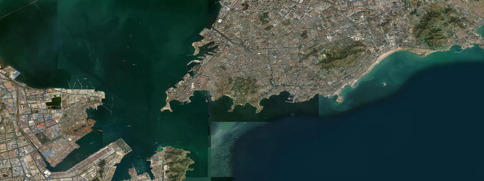
Qingdao faces the Yellow Sea from the southern tip of Shandong province, where the Laoshan mountain range drops steeply to the shore east of the city and the German colonial-era waterfront forms the western harbour district. The Zhanqiao Pier reaches into the bay from the old town, its double-roofed pavilion at the end recognisable across the Yellow Sea approaches, and the old German customs house and governor's residence still stand behind the red-roofed tile district the colonists built in the 1890s. The Tsingtao brewery, founded by German settlers in 1903 on the freshwater springs of Laoshan, sits a few minutes inland.
The tide here is semidiurnal with a moderate Yellow Sea range. 5 metres — a meaningfully large swing for a Yellow Sea port city. Two highs and two lows of comparable size each day, twelve and a half hours apart.
The tidal flat exposure on the beaches south of Zhanqiao — including Number 1 Bathing Beach and Number 2 Bathing Beach — changes by tens of metres between high and low water on a spring tide; the same flat that holds swimmers at high water turns to a wide sand shelf at low. Laoshan mountain on the eastern headland channels the coastal wind, and the combination of the Yellow Sea spring tide and the Laoshan-influenced easterly swell makes Qingdao a credible wind-driven and small-wave coast. The city hosted the sailing events for the 2008 Beijing Olympics at the Qingdao Olympic Sailing Center, and the centre still operates as the main sailing marina.
For paddlers and small-boat operators, the change-of-tide slack between flood and ebb is the low-current window — about 30 to 45 minutes either side of the predicted high or low. Shore anglers along the granite headlands east of Zhanqiao and at the Laoshan coastal trail target the incoming tide in spring, when the Yellow Sea warming drives yellow croaker and Spanish mackerel toward the rocky bottom. 0 metres.
The predictions on this page come from Open-Meteo Marine, a gridded global ocean model. 5 metres on height. For commercial shipping and port scheduling at Qingdao, the China Maritime Safety Administration and the National Marine Data and Information Service (NMDIS) are the authoritative sources.
The 2008 Olympic Sailing Center marina operations follow the Qingdao MSA port authority guidance.
Tide questions about Qingdao
Quick answers to the most common questions about tide times, range, and water access at Qingdao.
When is the next high tide at Qingdao?
The hero block at the top of this page shows the next high tide at Qingdao in local China Standard Time (CST, UTC+8, no DST) with the height above mean sea level. For the full pattern over the next week, scroll to the 7-day table. Predictions come from Open-Meteo Marine gridded model. For authoritative Qingdao port tide data, use the China Maritime Safety Administration or the National Marine Data and Information Service (NMDIS).
What's the typical tide range at Qingdao?
Mean range at the Qingdao harbour gauge is about 2.7 metres — a moderately large semidiurnal Yellow Sea signal. Spring tides around new and full moons push toward 3.5 metres; neap tides during quarter moons compress toward 1.5 metres. The large spring-tide range exposes wide sand flats at Number 1 and Number 2 Bathing Beach and opens the Laoshan tidepool zone below the normal low-water line.
Where do these tide predictions come from?
Open-Meteo Marine, a free gridded global ocean model. The model estimates tidal height from oceanographic equations applied across a geographic grid rather than from harmonic analysis of a dedicated gauge record. Accuracy is typically within plus or minus 45 minutes on timing and within roughly 0.5 metres on height. For authoritative Qingdao tide data, the China Maritime Safety Administration and the National Marine Data and Information Service (NMDIS) are the definitive sources.
When can I access the tide pools near Laoshan?
The tidepool zone along the Laoshan coastal trail — sea urchins, chitons, and barnacle communities on the granite shelf — is accessible only during the lowest spring-tide lows. The target window is one to two hours either side of the predicted low on days when the tidal range exceeds 3.0 metres, which happens around new and full moons. Check the 7-day table on this page for the predicted low; arrive 90 minutes before the listed time to walk the shelf as it drains, and be off the rock before the flood returns.
Is this safe to use for navigation?
No. For piloting in or out of Qingdao port or the Olympic Sailing Center marina use the China Maritime Safety Administration authoritative tide tables and the Qingdao Port Authority pilotage guidance. Open-Meteo Marine gridded predictions do not replace gauge-calibrated harmonic data for navigational use in the Yellow Sea approaches.
8-day tide table — Qingdao
Heights relative to MSL. Predictions: Open-Meteo Marine (MeteoFrance SMOC, 0.08° grid) — heights relative to MSL (not chart datum / LAT). Model-derived.
| Day | Type | Time | Height |
|---|---|---|---|
| Wed 29 Jul | High | 08:00 | 0.4m |
| Low | 10:40 | -0.5m | |
| High | 15:49 | 1.4m | |
| Low | 22:48 | -1.5m | |
| Thu 30 Jul | High | 04:57 | 1.5m |
| Low | 11:11 | -0.6m | |
| High | 16:20 | 1.5m | |
| Low | 23:22 | -1.5m | |
| Fri 31 Jul | High | 05:20 | 1.6m |
| Low | 11:43 | -0.7m | |
| High | 16:52 | 1.6m | |
| Low | 23:52 | -1.5m | |
| Sat 01 Aug | High | 05:46 | 1.7m |
| Low | 12:16 | -0.7m | |
| High | 17:22 | 1.7m | |
| Sun 02 Aug | Low | 00:23 | -1.5m |
| High | 06:13 | 1.8m | |
| Low | 12:49 | -0.8m | |
| High | 18:02 | 1.7m | |
| Mon 03 Aug | Low | 00:56 | -1.4m |
| High | 06:44 | 1.8m | |
| Low | 13:26 | -0.9m | |
| High | 18:45 | 1.6m | |
| Tue 04 Aug | Low | 01:33 | -1.2m |
| High | 07:17 | 1.8m | |
| Low | 14:05 | -1.0m | |
| High | 19:33 | 1.6m | |
| Wed 05 Aug | Low | 02:16 | -0.9m |
| High | 07:00 | 1.6m |