Florianópolis tide times
Florianópolis tide forecast — heights relative to MSL.
Today's tide times for Florianópolis
Tide times at Florianópolis on Friday, 19 June 2026: first low tide at 00:10, first high tide at 02:55, second low tide at 11:18, second high tide at 17:15, third low tide at 23:00. Sunrise 07:03, sunset 17:27.
Tide chart for Florianópolis
24-hour cosine-interpolated curve around the present moment. Heights relative to MSL. Predictions: Predictions: Open-Meteo Marine (MeteoFrance SMOC, 0.08° grid).
Sun, moon and conditions on Fri 19 Jun
Snapshot at build time — refreshes daily. Sea state from Open-Meteo Marine.
Highs and lows next 7 days
Every predicted high and low for the next week, with the daily tidal coefficient (0–120; higher = bigger swing, > 95 means stronger currents).
Other spots nearby
The three closest curated TideTurtle locations to Florianópolis, measured by great-circle distance.
Today's solunar windows
Solunar tradition: major periods are the ≈3h windows around moon transit and opposition; minor are ≈2h around moonrise and moonset. Pair with the local tide stage and wind for the best read.
About tides at Florianópolis
A short guide to the coastline at Florianópolis — geography, sea state, and what the tide is actually doing under your feet.
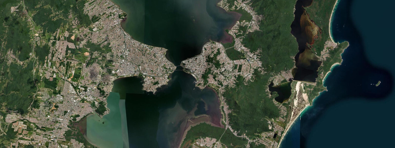
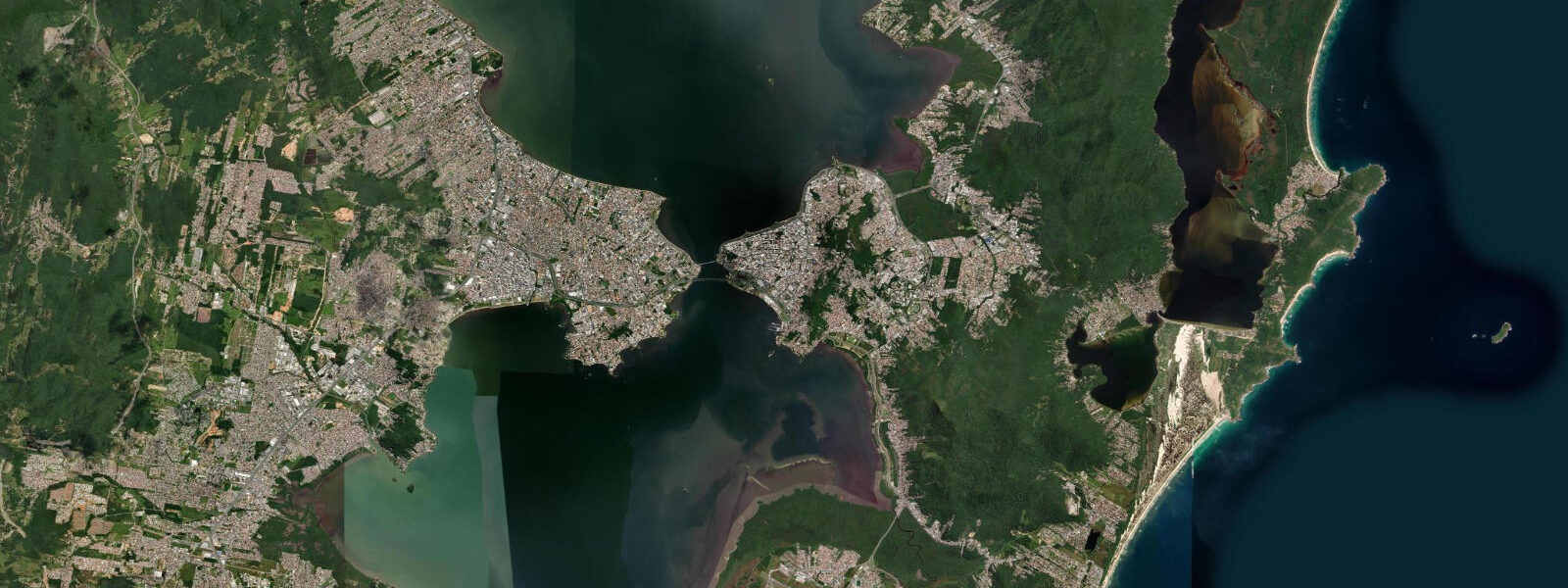
Florianópolis is on Santa Catarina Island, connected to the mainland by bridges, and has the most diverse surf coast in southern Brazil — 42 distinct beaches across the island, ranging from protected bay beaches on the northern and central coast to exposed Atlantic surf beaches on the east and south. Tidal pattern is semidiurnal with a mean spring range of about 0.5 metres. The low tidal range is typical of the Brazilian south Atlantic; what matters for wave quality here is the South Atlantic swell generated by extratropical cyclones (frontal systems that move northeast from Patagonia) and the occasional swell from North Atlantic storms that rounds the continent.
Joaquina Beach on the east coast is the most established surf spot — the 1980s and 1990s South American surfing championships were held here. The beach break has several peaks working on south and southeast swell; sandbar position varies seasonally after storm reworking. Praia Mole, just north of Joaquina, is narrower with a punchier, more localised wave. Both beaches face southeast, giving good fetch from the South Atlantic storm track.
The Lagoa da Conceição, a large brackish lagoon in the centre of the island, is the windsurfing and kitesurfing hub of Florianópolis. The lagoon is wind-exposed from the southeast — the same direction as the ocean swell — and produces consistent 15 to 25 knot conditions in the afternoon sea breeze. A dense cluster of water sports schools operates on the lagoon's west shore. The lagoon is connected to the sea by a narrow canal; tidal exchange is minimal.
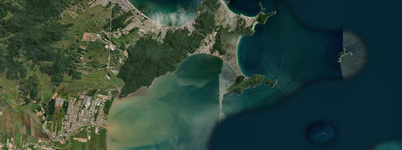
North coast beaches (Jurerê, Daniela) face northwest into the sheltered bay between the island and the mainland. These are the family beaches — calm water, gentle entry, and the infrastructure of bars and restaurants that makes Floripa one of Brazil's most complete beach destinations. Water temperature is 18 to 24°C depending on season; cold fronts from the south can drop sea temperature by 5°C within 24 hours.
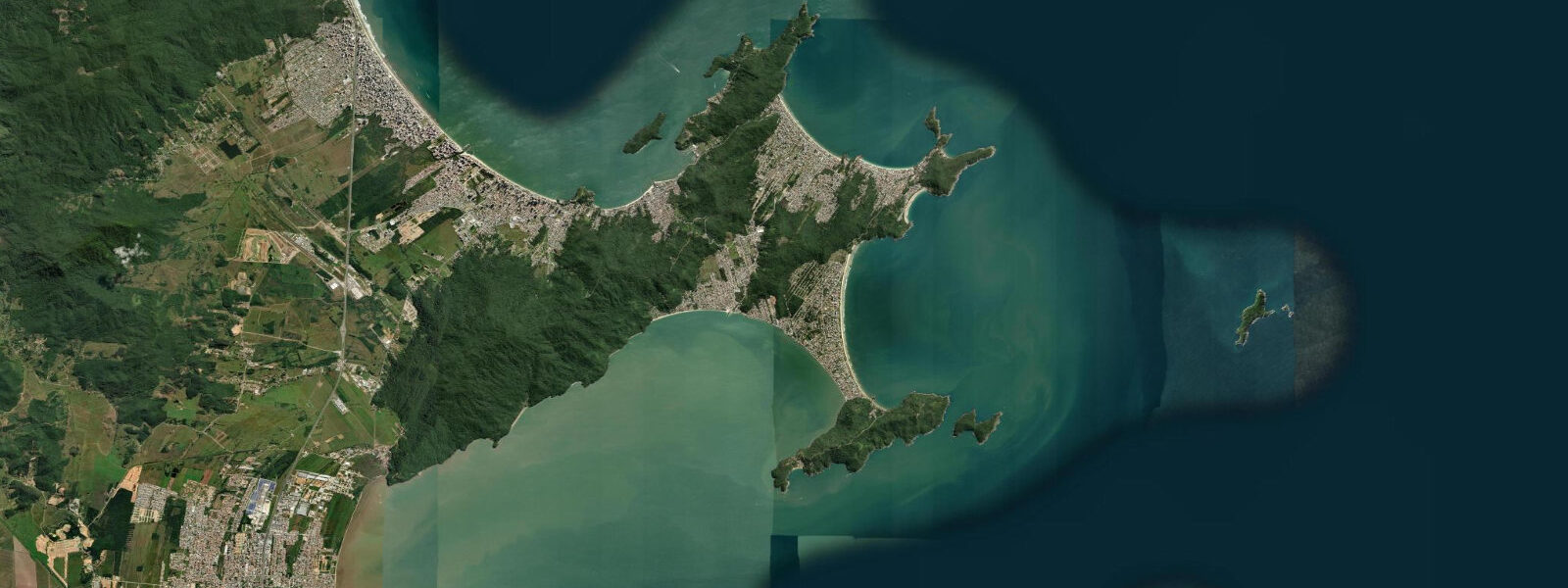
The Atlantic forest (Mata Atlântica) remnants on the island's elevated central ridge are accessible by trail from the Lagoa da Conceição area. Dolphins are regularly seen in the sheltered bay north of the island; the Baia Norte has a resident population of the Irrawaddy dolphin equivalent (boto-cinza, Sotalia guianensis).
Predictions on this page come from Open-Meteo Marine, a gridded global ocean model. Accuracy is typically within plus or minus 45 minutes on timing and 0.2 to 0.3 metres on height — model-derived, not from a local gauge. For Brazilian tide data, consult the Directorate of Hydrography and Navigation (DHN) at mar.mil.br/dhn.
Tide questions about Florianópolis
Quick answers to the most common questions about tide times, range, and water access at Florianópolis.
What are the best surf beaches at Florianópolis?
Joaquina and Praia Mole on the east coast are the most consistent surf spots. Both face southeast into the South Atlantic and work on south to southeast swells from extratropical frontal systems (most frequent April through August). Praia Mole's wave is punchier and more hollow; Joaquina has more beach length and variable peaks. The south coast beaches (Praia do Campeche, Praia dos Açores) are more exposed and handle larger swell in winter. Water temperature drops to 18°C in winter fronts.
What is the tidal range at Florianópolis?
Mean spring tidal range at Florianópolis is about 0.5 metres — typical of the Brazilian south Atlantic coast. The astronomical tide has minimal influence on beach conditions; frontal passage (cold fronts from the south) and swell size are the dominant factors. Kitesurf conditions on Lagoa da Conceição are driven by the afternoon sea breeze, which is independent of tidal state.
Is kitesurfing on Lagoa da Conceição suitable for beginners?
Lagoa da Conceição is considered one of the best kitesurfing training grounds in South America — flat water, consistent afternoon thermal wind (15 to 25 knots from the south), and shallow areas ideal for water starts. Multiple schools on the west shore of the lagoon offer IKO-certified beginner courses (typically 3-day). The lagoon is large enough (approximately 20 km²) to manage traffic even in busy season (December through March).
When is the best time to visit Florianópolis for surfing?
May through August is the best surf season — extratropical fronts moving northeast from Patagonia generate 2 to 3 metre south swells that hit the east coast consistently. Summer (December through March) is popular for beach holidays but less consistent for surf; northeast to east wind swells can work on the north-facing beaches. The island is extremely crowded in January and February (Brazilian summer holiday peak).
Can I see dolphins near Florianópolis?
Yes — Sotalia guianensis (Guiana dolphin, locally called boto-cinza) live year-round in the sheltered Baia Norte between Florianópolis island and the mainland. They're visible from the bridge connecting the island to the mainland and from boats in the north bay. Spinner dolphins and bottlenose dolphins are occasionally seen offshore on the east coast. The dolphins in the bay are wild but habituated to boat traffic — approach respectfully and at low speed.
7-day tide table — Florianópolis
Heights relative to MSL. Predictions: Open-Meteo Marine (MeteoFrance SMOC, 0.08° grid) — heights relative to MSL (not chart datum / LAT). Model-derived.
| Day | Type | Time | Height |
|---|---|---|---|
| Fri 19 Jun | Low | 00:10 | 0.2m |
| High | 02:55 | 0.3m | |
| Low | 11:18 | -0.3m | |
| High | 17:15 | 0.1m | |
| Low | 23:00 | 0.1m | |
| Sat 20 Jun | High | 04:00 | 0.3m |
| Low | 11:00 | -0.1m | |
| High | 18:00 | 0.3m | |
| Low | 20:10 | 0.3m | |
| Sun 21 Jun | High | 04:38 | 0.5m |
| Low | 22:00 | 0.2m | |
| Mon 22 Jun | — | ||
| Tue 23 Jun | High | 06:54 | 0.3m |
| Low | 15:50 | 0.2m | |
| High | 19:42 | 0.3m | |
| Wed 24 Jun | — | ||
| Thu 25 Jun | Low | 17:50 | -0.0m |
| High | 20:00 | 0.1m | |