Florianópolis, Santa Catarina tide times
Florianópolis, Santa Catarina tide forecast — heights relative to MSL.
Today's tide times for Florianópolis, Santa Catarina
Tide times at Florianópolis, Santa Catarina on Sunday, 26 July 2026: first low tide at 05:55. Sunrise 06:59, sunset 17:42.
Tide chart for Florianópolis, Santa Catarina
24-hour cosine-interpolated curve around the present moment. Heights relative to MSL. Predictions: Predictions: Open-Meteo Marine (MeteoFrance SMOC, 0.08° grid).
Sun, moon and conditions on Sun 26 Jul
Snapshot at build time — refreshes daily. Sea state from Open-Meteo Marine.
Highs and lows next 7 days
Every predicted high and low for the next week, with the daily tidal coefficient (0–120; higher = bigger swing, > 95 means stronger currents).
Other spots nearby
The three closest curated TideTurtle locations to Florianópolis, Santa Catarina, measured by great-circle distance.
Today's solunar windows
Solunar tradition: major periods are the ≈3h windows around moon transit and opposition; minor are ≈2h around moonrise and moonset. Pair with the local tide stage and wind for the best read.
Cycle dates near Florianópolis, Santa Catarina
Next spring tide on Thu 30 Jul (range 0.9m). Next neap on Mon 27 Jul.
Spring tides cluster around new and full moons (biggest swings). Neap tides land on quarter moons (smallest swings). See the spring tide and neap tide glossary entries for the why.
About tides at Florianópolis, Santa Catarina
A short guide to the coastline at Florianópolis, Santa Catarina — geography, sea state, and what the tide is actually doing under your feet.
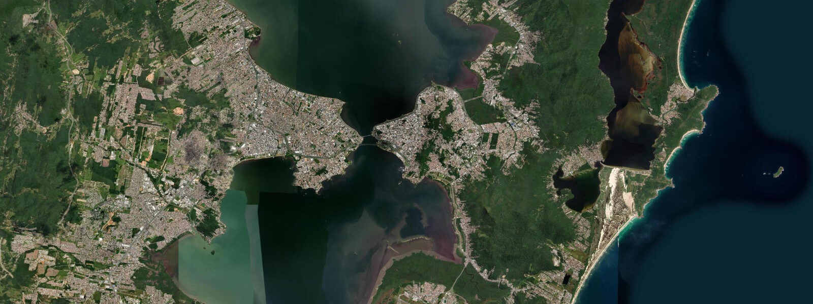
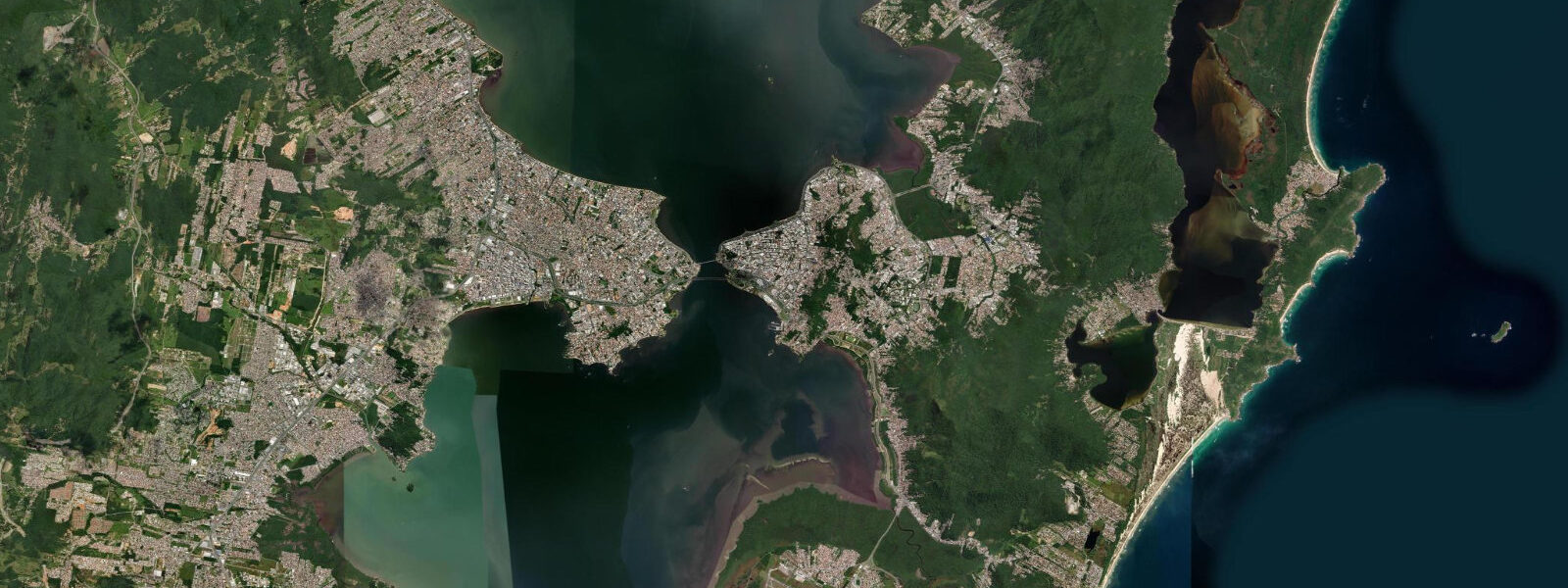
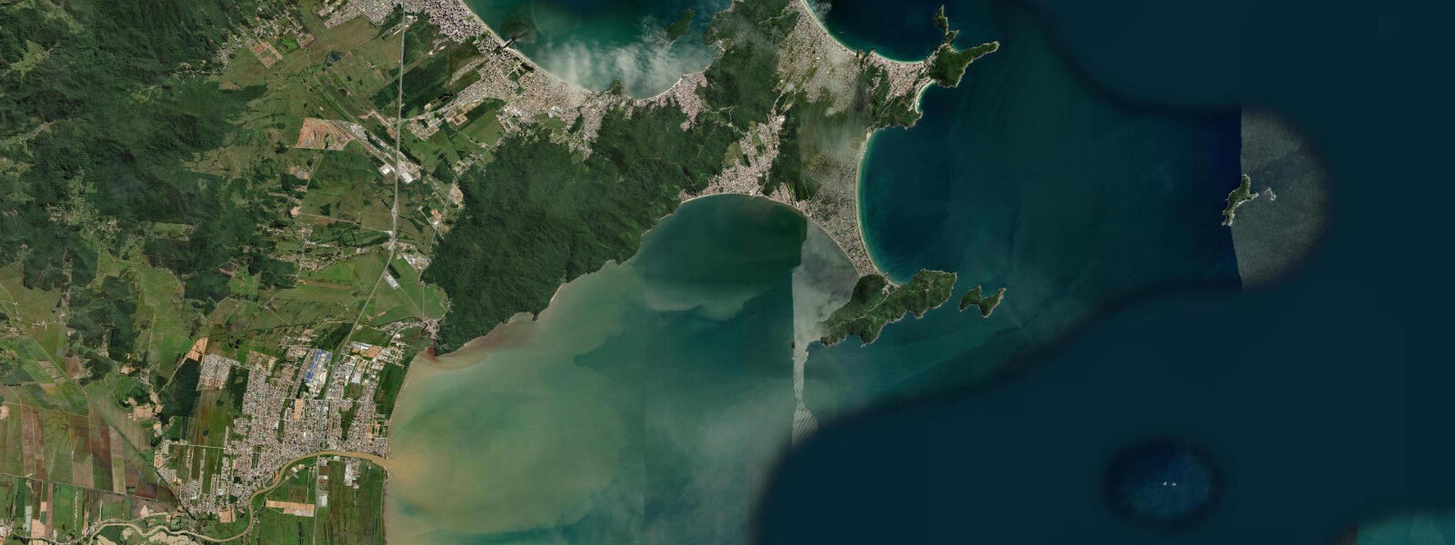
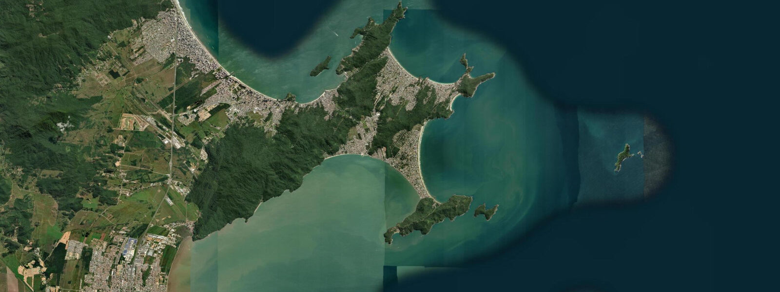
Florianópolis sits on the long Ilha de Santa Catarina on the southern Brazilian coast, with the open Atlantic on its eastern shore and the protected bay between the island and the mainland on its western. The city centre crosses the bay on the Hercílio Luz bridge, with the working ferry crossing at Itacorubi and the long sand beaches of the eastern coast running from Praia da Joaquina south to Praia Mole, Praia da Galheta, and the Lagoa da Conceição at the centre. 8 metres on the largest spring tides and dropping close to flat on neaps.
The astronomical forcing is small because the South Atlantic at this latitude is broad and the continental shelf relatively narrow, so the tide propagates as a near-progressive wave rather than amplifying through resonance. What matters more on a day-to-day basis is wind setup from the south-quadrant frentes that sweep up from the Roaring Forties — sustained 25-knot south winds can lift apparent water level 30 to 50 cm above predicted, and the same wind builds the surf on the open eastern coast. Florianópolis sits at the centre of one of Brazil's strongest surf cultures; the breaks at Joaquina, Praia Mole, and Praia da Galheta read the swell more than the tide, while the protected western coast on the bay side at Sambaqui and Santo Antônio de Lisboa hosts the local oyster-farming industry where tide does set the working hours.
Lowest spring lows around new and full moons open the bay-side mudflats at Tapera and the inner reaches of the Saco dos Limões. Open-Meteo Marine drives the gridded predictions on this page; for authoritative Brazilian tide data, Marinha do Brasil's Centro de Hidrografia da Marinha (CHM) operates the gauge network and publishes the official tide tables.
Tide questions about Florianópolis, Santa Catarina
Quick answers to the most common questions about tide times, range, and water access at Florianópolis, Santa Catarina.
When is the next high tide at Florianópolis?
The hero block shows the next high tide at the Florianópolis gauge in local Brasília time (BRT, UTC-3, no DST since 2019). The 7-day table covers all the highs and lows. High water on the open eastern beaches arrives a few minutes ahead of the inner bay; on the protected western side at Sambaqui the timing matches the central gauge closely.
What's the typical tide range at Florianópolis?
Mean range is about 0.5 metres, climbing past 0.8 metres on the largest spring tides and dropping close to flat on neaps. The pattern is mixed semidiurnal — two highs and two lows of unequal size most days. The astronomical signal is small at this latitude; wind setup from south-quadrant frentes and the steady summer NE trade can shift apparent water level 30 to 50 cm above or below predicted.
Why are tides so small in southern Brazil?
The South Atlantic at this latitude is broad and the continental shelf relatively narrow, so the tide propagates as a near-progressive wave rather than amplifying through resonance the way it does in the Bay of Fundy or the Bristol Channel. The astronomical forcing is small everywhere in the South Atlantic outside of a few specific resonant basins (the Patos Lagoon mouth at Rio Grande and the Amazon estuary at Macapá being the obvious counter-examples).
Where do these tide predictions come from?
Open-Meteo Marine, a gridded global ocean model. Useful for daily planning around the bay and the open eastern coast. For authoritative Brazilian tide data, Marinha do Brasil's Centro de Hidrografia da Marinha (CHM) operates the gauge network at Florianópolis and across the southern coast, and publishes the official tide tables for navigation.
Is this safe to use for navigation?
No. For piloting in or out of the bay, transiting the Hercílio Luz bridge area, or working the open eastern coast use CHM's authoritative tide tables, the Brazilian Navy's notices to mariners, and the local pilotage guidance for the Itajaí approach further north. South-quadrant frentes can build heavy swell on the open eastern beaches with little astronomical-tide warning.
7-day tide table — Florianópolis, Santa Catarina
Heights relative to MSL. Predictions: Open-Meteo Marine (MeteoFrance SMOC, 0.08° grid) — heights relative to MSL (not chart datum / LAT). Model-derived.
| Day | Type | Time | Height |
|---|---|---|---|
| Sun 26 Jul | Low | 05:55 | -0.4m |
| Mon 27 Jul | High | 13:50 | 0.3m |
| Tue 28 Jul | Low | 07:12 | -0.4m |
| High | 14:15 | 0.4m | |
| Low | 19:47 | -0.1m | |
| Wed 29 Jul | High | 00:47 | 0.3m |
| Low | 07:50 | -0.4m | |
| High | 14:18 | 0.4m | |
| Low | 20:15 | -0.1m | |
| Thu 30 Jul | High | 01:22 | 0.4m |
| Low | 08:23 | -0.4m | |
| High | 14:54 | 0.5m | |
| Low | 20:47 | 0.0m | |
| Fri 31 Jul | High | 01:42 | 0.5m |
| Low | 08:54 | -0.4m | |
| High | 14:56 | 0.4m | |
| Low | 21:12 | -0.1m | |
| Sat 01 Aug | High | 02:13 | 0.3m |
| Low | 20:00 | -0.3m |