Nieuwpoort, West Flanders tide times
Nieuwpoort, West Flanders tide forecast — heights relative to MSL.
Today's tide times for Nieuwpoort, West Flanders
Tide times at Nieuwpoort, West Flanders on Friday, 19 June 2026: first low tide at 02:00am, first high tide at 04:26am, second low tide at 11:35am, second high tide at 04:39pm, third low tide at 11:51pm. Sunrise 05:33am, sunset 10:07pm.
Tide chart for Nieuwpoort, West Flanders
24-hour cosine-interpolated curve around the present moment. Heights relative to MSL. Predictions: Predictions: Open-Meteo Marine (MeteoFrance SMOC, 0.08° grid).
Sun, moon and conditions on Fri 19 Jun
Snapshot at build time — refreshes daily. Sea state from Open-Meteo Marine.
Highs and lows next 7 days
Every predicted high and low for the next week, with the daily tidal coefficient (0–120; higher = bigger swing, > 95 means stronger currents).
Other spots nearby
The three closest curated TideTurtle locations to Nieuwpoort, West Flanders, measured by great-circle distance.
Today's solunar windows
Solunar tradition: major periods are the ≈3h windows around moon transit and opposition; minor are ≈2h around moonrise and moonset. Pair with the local tide stage and wind for the best read.
Cycle dates near Nieuwpoort, West Flanders
Last spring tide on Fri 19 Jun (range 4.8m). Next neap on Mon 22 Jun.
Spring tides cluster around new and full moons (biggest swings). Neap tides land on quarter moons (smallest swings). See the spring tide and neap tide glossary entries for the why.
About tides at Nieuwpoort, West Flanders
A short guide to the coastline at Nieuwpoort, West Flanders — geography, sea state, and what the tide is actually doing under your feet.
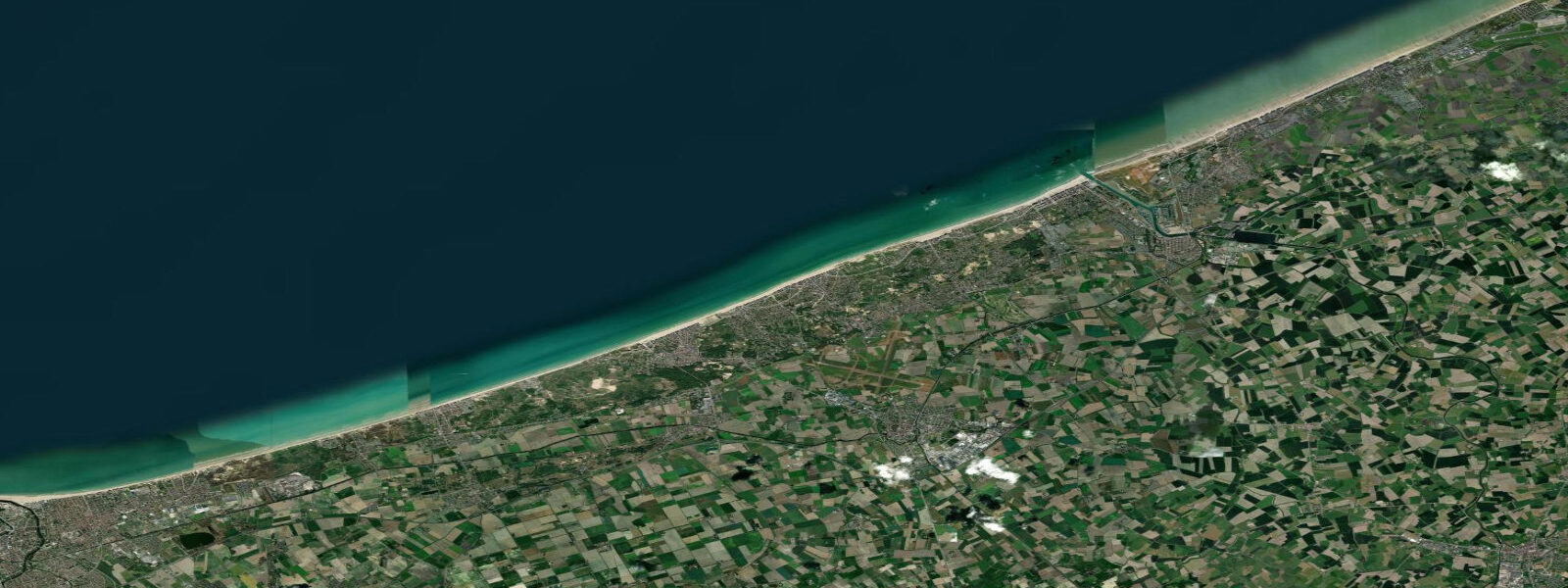
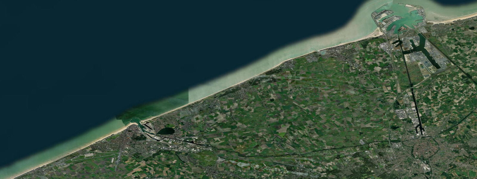
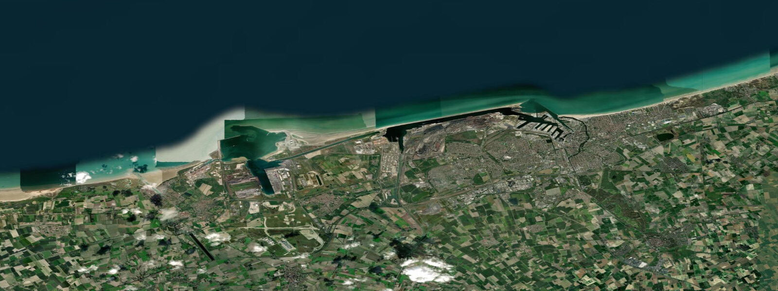
Nieuwpoort stands at the mouth of the IJzer river on Belgium's 67-kilometre North Sea coast, and it holds two distinct identities that the tide connects. The first is Belgium's largest recreational marina — around 2,400 berths, with a harbour entrance that the North Sea fills and empties twice a day on a 4.0 to 4.5-metre spring range. The second is a site of decisive 20th-century military engineering, where the tidal mechanics of this same harbour were used in October 1914 to flood the low-lying Yser polders and halt the German advance on the Western Front.
The tidal regime is semidiurnal and energetic. At springs, the flood sets in from the north-northwest at the harbour entrance with a current reaching 2 to 3 knots through the channel — strong enough that inexperienced sailors or kayakers can lose ground against it. The ebb runs slightly faster and longer due to the additional freshwater discharge from the IJzer. The marina management publishes daily tidal slot recommendations for entry and departure, specifying the two-hour windows either side of high water when the current through the entrance is below 1.5 knots and manageable for sailing yachts without significant auxiliary power. Outside those slots, experienced crews handle it routinely, but the recommendation exists for good reason.
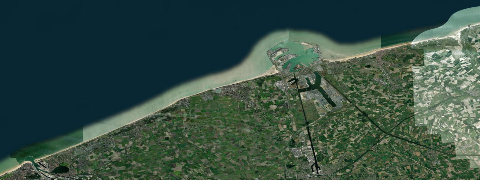
For arrivals from offshore, the North Sea breakwater arms — the west and east pier extending roughly 500 metres into the sea — define the approach. At low water on a spring tide, the water depth over the bar at the entrance reduces. The channel is marked and dredged, but monitoring the depth against the tidal prediction matters for vessels drawing more than 1.8 metres. Tidal height at Nieuwpoort on a mean spring is approximately 4.3 metres above chart datum; lowest astronomical tide (LAT) is the reference datum.
The IJzer inundation of October 1914 is the event that makes Nieuwpoort's tidal mechanics historically significant. After the Belgian and Allied forces were pushed back to a narrow strip of territory along the Yser river, military engineers — working with local lock-keepers who understood the tidal sluice system at Nieuwpoort — opened the Ganzenpoot sluice (a multi-armed lock structure at the IJzer mouth, the name meaning 'goose foot' from its plan shape) on the ebb tide to retain seawater in the polders rather than releasing it. Over several flood-ebb cycles, from 25 to 29 October, they flooded an approximately 6,000-hectare strip of polder land between Nieuwpoort and Diksmuide to a depth of 0.5 to 1.0 metres — shallow enough for Belgian troops to wade through but impassable to artillery, heavy equipment, and organised infantry. The German advance stopped. The Western Front stabilised at the Yser. The tidal sluice system, not military force, was the decisive mechanism.
The Ganzenpoot sluice structure is still visible at the IJzer mouth, adjacent to the Albert I memorial. The memorial commemorates the Belgian soldiers who held this section of the front; King Albert I commanded in person from Nieuwpoort throughout the war. The site is walkable from the marina in under ten minutes and the sluice gates are still operational, now used for IJzer water-level management rather than military flooding.
Anglers work the breakwater arms for bass, flatfish (sole and plaice), and occasionally smoothhound. The flood tide is the productive period from the west pier: bait and lures worked in the current seam where the tide pushes along the pier face hold fish that ambush in the eddy behind the structure. The ebb tide off the east pier produces flatfish moving out of the harbour basin with the draining water. Shore crabbing from the lower pier steps is popular with families at low water when the step exposure is greatest — roughly the hour centred on low water.
Beach access is directly west of the harbour entrance: the Nieuwpoort-Bad beach is backed by dunes and faces north-northwest. At low spring water, the beach extends 150 to 200 metres from the dune foot to the waterline. At high spring tide that distance collapses to under 30 metres. The beach is popular with kite surfers when the northeast or southwest wind blows across the tidal flat — the low water exposure creates a kilometre-wide working area.
Tide data for Nieuwpoort, West Flanders comes from the Open-Meteo Marine API, a gridded model product. Timing accuracy is ±45 minutes, height accuracy ±0.3 m — usable for trip planning, not for navigation.
Tide questions about Nieuwpoort, West Flanders
Quick answers to the most common questions about tide times, range, and water access at Nieuwpoort, West Flanders.
What is the tidal range at Nieuwpoort and how does it affect marina entry?
The mean spring range at Nieuwpoort is 4.0 to 4.5 metres, making it one of the stronger tidal harbours on the Belgian coast. Spring flood tides push 2 to 3 knots through the harbour entrance channel. The marina publishes daily tidal slot recommendations: entry and departure within two hours either side of high water keeps the tidal stream below 1.5 knots. Outside that window the current is manageable for experienced crews but demands attention. Vessels drawing over 1.8 metres should check the tidal height against chart datum before approaching on the lower half of the tide.
How did the tidal sluice at Nieuwpoort stop the German advance in 1914?
In October 1914, Belgian and Allied forces held a narrow line along the Yser river after being pushed back across most of Belgium. Local lock-keepers, working with military engineers, used the Ganzenpoot tidal sluice at the IJzer mouth to retain North Sea water in the low-lying polders rather than releasing it on the ebb. Over four days of controlled flooding from 25 to 29 October, approximately 6,000 hectares of polder were inundated to 0.5 to 1.0 metres — impassable to German artillery and organised infantry but wadeable by Belgian troops. The German advance halted. The Ganzenpoot sluice structure is still visible adjacent to the Albert I memorial, a ten-minute walk from the marina.
Is sailing or kayaking safe through the Nieuwpoort harbour entrance?
Sailing is straightforward within the tidal slot (two hours either side of high water). Outside that window, experienced crews handle the 2 to 3-knot spring current routinely, but it requires adequate engine power or timing on the fair tide. Kayakers should enter and exit only within the tidal slot and stay close to the pier edges where the current is weakest. The North Sea approach to the entrance is exposed to north and northwest swell; in onshore winds above force 4 the entrance becomes rough and should be avoided by kayaks. Check the forecast and the tidal prediction together before committing.
What is the beach like at Nieuwpoort-Bad and when is it biggest?
Nieuwpoort-Bad beach faces north-northwest directly west of the harbour entrance. At low spring water the beach extends 150 to 200 metres from dune to waterline — a substantial flat working area. At high spring tide the width shrinks to under 30 metres. The best beach conditions for families are the two to three hours centred on low water during neap tides: moderate water level with a slower-returning tide and a wide firm sand flat. Kite surfers use the low-water flats in northeast or southwest wind; the North Sea is consistently windy.
Where are the best shore fishing spots at Nieuwpoort?
The west pier breakwater produces bass and pollack on the flood tide — work lures or bait in the current seam along the pier face where fish hold in the downstream eddy. The east pier is better on the ebb for flatfish (sole and plaice) moving out with the draining harbour water. Smoothhound appear in the harbour approaches in summer. The lower pier steps expose at low water and are accessible for crabbing with families. Belgium's shore fishing regulations apply; check the current rules for size limits and closed seasons before fishing bass.
8-day tide table — Nieuwpoort, West Flanders
Heights relative to MSL. Predictions: Open-Meteo Marine (MeteoFrance SMOC, 0.08° grid) — heights relative to MSL (not chart datum / LAT). Model-derived.
| Day | Type | Time | Height |
|---|---|---|---|
| Fri 19 Jun | Low | 02:00 | -0.2m |
| High | 04:26 | 2.1m | |
| Low | 11:35 | -2.3m | |
| High | 16:39 | 1.8m | |
| Low | 23:51 | -2.7m | |
| Sat 20 Jun | High | 05:22 | 1.9m |
| Low | 12:24 | -2.1m | |
| High | 17:26 | 1.7m | |
| Sun 21 Jun | Low | 00:38 | -2.6m |
| High | 06:18 | 1.6m | |
| Low | 13:05 | -2.2m | |
| High | 18:26 | 1.4m | |
| Mon 22 Jun | Low | 01:27 | -2.7m |
| High | 07:32 | 1.3m | |
| Low | 13:52 | -2.1m | |
| High | 19:40 | 1.4m | |
| Tue 23 Jun | Low | 02:13 | -2.3m |
| High | 08:45 | 1.6m | |
| Low | 14:46 | -1.7m | |
| High | 20:54 | 1.4m | |
| Wed 24 Jun | Low | 03:13 | -2.0m |
| High | 09:43 | 1.5m | |
| Low | 15:45 | -1.7m | |
| High | 22:00 | 1.4m | |
| Thu 25 Jun | Low | 04:13 | -2.1m |
| High | 10:43 | 1.5m | |
| Low | 16:43 | -1.8m | |
| High | 23:05 | 1.6m | |
| Fri 26 Jun | Low | 01:00 | 0.6m |