Ostend tide times
Ostend tide forecast — heights relative to MSL.
Today's tide times for Ostend
Tide times at Ostend on Wednesday, 29 July 2026: first high tide at 02:00am, first low tide at 08:18am, second high tide at 01:57pm, second low tide at 08:33pm. Sunrise 06:07am, sunset 09:41pm.
Tide chart for Ostend
24-hour cosine-interpolated curve around the present moment. Heights relative to MSL. Predictions: Predictions: Open-Meteo Marine (MeteoFrance SMOC, 0.08° grid).
Sun, moon and conditions on Wed 29 Jul
Snapshot at build time — refreshes daily. Sea state from Open-Meteo Marine.
Highs and lows next 7 days
Every predicted high and low for the next week, with the daily tidal coefficient (0–120; higher = bigger swing, > 95 means stronger currents).
Other spots nearby
The three closest curated TideTurtle locations to Ostend, measured by great-circle distance.
Today's solunar windows
Solunar tradition: major periods are the ≈3h windows around moon transit and opposition; minor are ≈2h around moonrise and moonset. Pair with the local tide stage and wind for the best read.
Cycle dates near Ostend
Next spring tide on Mon 03 Aug (range 4.5m). Last neap on Wed 29 Jul. Next neap on Tue 04 Aug.
Spring tides cluster around new and full moons (biggest swings). Neap tides land on quarter moons (smallest swings). See the spring tide and neap tide glossary entries for the why.
About tides at Ostend
A short guide to the coastline at Ostend — geography, sea state, and what the tide is actually doing under your feet.
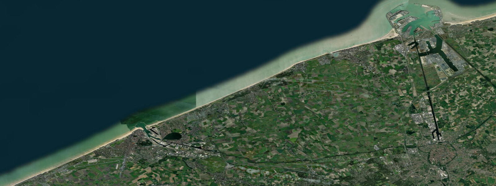
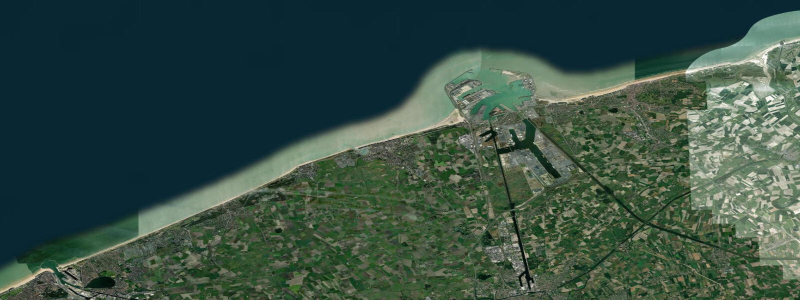
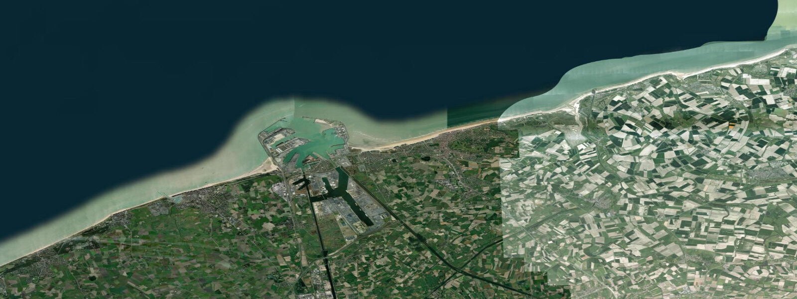
Ostend sits at the centre of the Belgian North Sea coast, the country's largest seaside city and the historical fishing and ferry port that gave the Ostend coast its English-language name. The harbour entrance opens through a pair of long jetties straight onto the open North Sea, with the Albert I-promenade and the Casino Kursaal running west along the seafront and the Visserskaai (the fish quay) and the De Mercator three-master training ship sitting in the inner marina. The Vlaamse Visserij Monument on the Visserskaai memorialises the Belgian fishing fleet, and the RMI (Royal Meteorological Institute) maintains historical weather and sea-level records here that go back well over a century.
East of the harbour, the coast runs through Bredene and De Haan to Blankenberge; west, it runs through Middelkerke, Westende, and Nieuwpoort to the French border at De Panne. The tide at Ostend is the full Belgian North Sea macrotidal regime — semidiurnal, large, and the dominant coastal driver. 5 metres.
Two highs and two lows daily, twelve hours and twenty-five minutes apart, with the kind of clean predictable pattern that comes from a coast directly exposed to the Atlantic tidal wave as it propagates up the English Channel into the southern North Sea. Spring tides around new and full moons push the range past 5 metres; neap tides during the quarter moons compress toward 3 metres. The wide intertidal sand flats at Ostend expose hundreds of metres of beach at low water — the same sand that holds swimmers and family beachgoers at high water turns to a wide flat strand at low, with the water line three to four hundred metres further out than at high tide.
That scale is what makes the Belgian beach culture work: the flat low-tide strand is what the kite landboarders, the sand-yacht racers along the wide beaches west of Ostend, and the family beach-walkers all use. Anglers along the eastern jetty at the Ostend harbour entrance target sea bass and flatfish on the flooding tide, with the late ebb and the first hour of the flood the traditional windows for the jetty-casters. Paddlers launching from the Ostend marina or the Bredene strand time their crossings of the harbour entrance for the slack window — about 30 to 45 minutes either side of predicted high or low — to avoid the strong tidal current that runs through the harbour mouth on the building flood and ebb.
Beach-walking families find the wide flat strand opens up two to three hours either side of predicted low, exposing a sand surface that runs continuously from the dyke promenade out toward the low-water line; the same flat hosts the sand-yachts and the kite landboarders during the lowest spring tides. Photographers shooting the De Mercator and the harbour panorama get the highest water level against the marina edge at predicted high; the working fishing-fleet shots at the Visserskaai sit at the inner harbour where the tide signal is reduced by the lock gates but the rhythm is still visible. The predictions on this page come from Open-Meteo Marine, a gridded global ocean model.
3 metres on height. For a coast with a 4-metre swing, that height uncertainty is small relative to the signal — the rhythm, timing, and approximate height of high and low water on these pages are reliable for general planning. For precise operational data — port scheduling, dredging windows, lock operations, or vessel tide-window planning — use Vlaamse Hydrografie (Flemish Hydrography), the hydrographic arm of MDK (Maritieme Dienstverlening en Kust), which operates the Ostend gauge and publishes the official Belgian tide tables.
Tide questions about Ostend
Quick answers to the most common questions about tide times, range, and water access at Ostend.
When is the next high tide at Ostend?
The hero block at the top of this page shows the next predicted high at Ostend in local Central European Time (CET/CEST, UTC+1/UTC+2). The pattern is semidiurnal — two highs and two lows daily, twelve hours and twenty-five minutes apart, with the kind of clean predictable signal characteristic of a direct North Sea macrotidal coast. Mean range at the Ostend gauge is 3.8 to 4.5 metres. Vlaamse Hydrografie (Flemish Hydrography), the hydrographic arm of MDK, publishes the authoritative Belgian tide tables and operates the Ostend gauge.
What's the typical tide range at Ostend?
Mean range at the Ostend gauge is 3.8 to 4.5 metres — full North Sea macrotidal. Spring tides around new and full moons push past 5 metres; neap tides during quarter moons compress toward 3 metres. The wide intertidal sand flats expose hundreds of metres of beach at low water. The southern North Sea tidal pattern propagates from the Atlantic up the English Channel and arrives at the Belgian coast as a clean, large, predictable semidiurnal wave. Storm surges driven by westerly autumn and winter weather can add 50 cm to over a metre on top of the predicted level.
Where do these tide predictions come from?
Open-Meteo Marine, a free gridded global ocean model. Accuracy is typically within plus or minus 45 minutes on timing and within roughly 0.3 metres on height. For a coast with a 4-metre swing, that height uncertainty is small relative to the actual signal �— the predicted rhythm, timing, and approximate height of high and low water are reliable for general planning. For authoritative operational data, use Vlaamse Hydrografie (Flemish Hydrography), part of MDK (Maritieme Dienstverlening en Kust), who operate the Ostend gauge and publish the official Belgian tide tables.
How wide is the beach at low tide at Ostend?
Several hundred metres. The intertidal sand flat at Ostend exposes from the seawall out to a low-water line that sits three to four hundred metres further out than the high-water line during a typical tide, and further still during spring tides. The two to three hours either side of predicted low water give the widest dry strand. That low-tide expanse is what supports the regional beach culture — sand-yachts, kite landboarding, family beach-walking, the sand-castle and shell-collecting habits — all of which run on the wide flat that opens at low water. The strand re-floods completely at high water, leaving only the seawall and dyke promenade dry.
Is this safe to use for navigation?
No. For vessel operations in Ostend harbour, the approaches, and the southern North Sea coast, use official charts from Vlaamse Hydrografie, the Belgian Navy hydrographic service, the UK Hydrographic Office, or the SHN (French hydrographic service), and the Notices to Mariners published by the Belgian Maritime Coastal Services (MDK). The harbour entrance carries strong tidal current on the building flood and ebb — local pilotage is the standard for commercial traffic and recommended for visiting yachts on spring-tide cycles. Vlaamse Hydrografie publishes real-time gauge data for the Ostend, Zeebrugge, and Nieuwpoort ports.
7-day tide table — Ostend
Heights relative to MSL. Predictions: Open-Meteo Marine (MeteoFrance SMOC, 0.08° grid) — heights relative to MSL (not chart datum / LAT). Model-derived.
| Day | Type | Time | Height |
|---|---|---|---|
| Wed 29 Jul | High | 02:00 | 1.4m |
| Low | 08:18 | -1.8m | |
| High | 13:57 | 1.6m | |
| Low | 20:33 | -2.1m | |
| Thu 30 Jul | High | 02:18 | 1.6m |
| Low | 08:54 | -1.9m | |
| High | 14:22 | 1.6m | |
| Low | 21:03 | -2.2m | |
| Fri 31 Jul | High | 02:40 | 1.7m |
| Low | 09:22 | -2.0m | |
| High | 14:50 | 1.7m | |
| Low | 21:37 | -2.4m | |
| Sat 01 Aug | High | 03:12 | 1.7m |
| Low | 09:51 | -2.1m | |
| High | 15:18 | 1.8m | |
| Low | 22:07 | -2.5m | |
| Sun 02 Aug | High | 03:45 | 1.8m |
| Low | 10:26 | -2.2m | |
| High | 15:58 | 1.8m | |
| Low | 22:40 | -2.5m | |
| Mon 03 Aug | High | 04:18 | 1.9m |
| Low | 10:59 | -2.2m | |
| High | 16:33 | 1.8m | |
| Low | 23:14 | -2.6m | |
| Tue 04 Aug | High | 05:00 | 1.9m |
| Low | 11:32 | -2.1m | |
| High | 17:15 | 2.0m | |
| Low | 23:52 | -2.3m |