De Haan tide times
De Haan tide forecast — heights relative to MSL.
Today's tide times for De Haan
Tide times at De Haan on Saturday, 4 July 2026: first low tide at 02:00am, first high tide at 04:15am, second low tide at 10:45am, second high tide at 04:25pm, third low tide at 11:06pm. Sunrise 05:37am, sunset 10:06pm.
Tide chart for De Haan
24-hour cosine-interpolated curve around the present moment. Heights relative to MSL. Predictions: Predictions: Open-Meteo Marine (MeteoFrance SMOC, 0.08° grid).
Sun, moon and conditions on Sat 04 Jul
Snapshot at build time — refreshes daily. Sea state from Open-Meteo Marine.
Highs and lows next 7 days
Every predicted high and low for the next week, with the daily tidal coefficient (0–120; higher = bigger swing, > 95 means stronger currents).
Other spots nearby
The three closest curated TideTurtle locations to De Haan, measured by great-circle distance.
Today's solunar windows
Solunar tradition: major periods are the ≈3h windows around moon transit and opposition; minor are ≈2h around moonrise and moonset. Pair with the local tide stage and wind for the best read.
Cycle dates near De Haan
Next spring tide on Sun 05 Jul (range 4.1m). Last neap on Sat 04 Jul. Next neap on Wed 08 Jul.
Spring tides cluster around new and full moons (biggest swings). Neap tides land on quarter moons (smallest swings). See the spring tide and neap tide glossary entries for the why.
About tides at De Haan
A short guide to the coastline at De Haan — geography, sea state, and what the tide is actually doing under your feet.
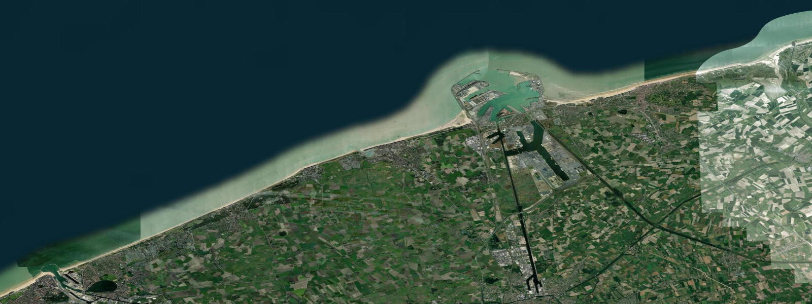
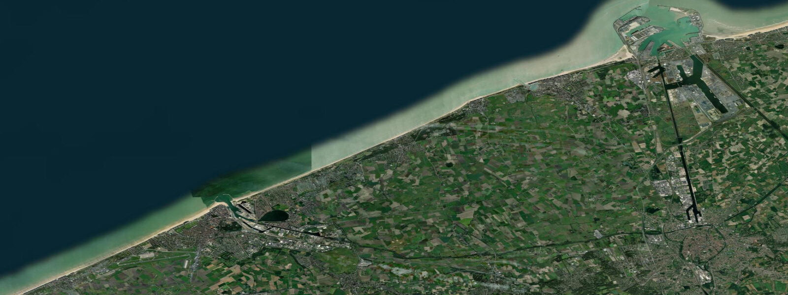
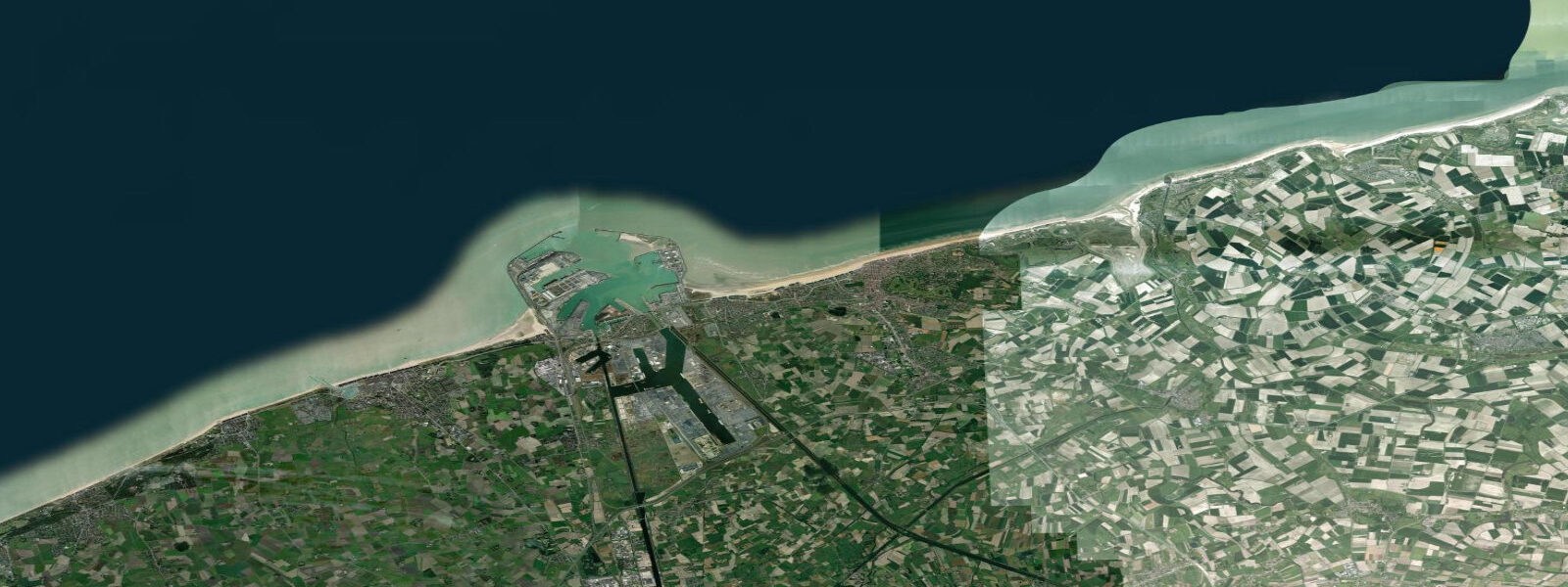
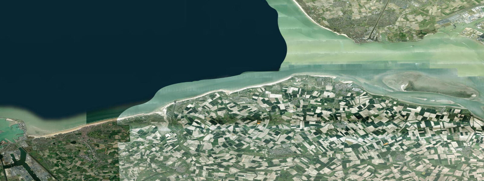
De Haan sits roughly midway along Belgium's 67 km North Sea coast, a resort town that looks unlike any other on this stretch because of a building restriction put in place more than a century ago: no high-rise construction was permitted, and the policy held. The result is a town of Belle Époque villas, art nouveau guesthouses, and turreted seaside architecture from the 1890s to 1930s preserved inside the curved street plan laid out by the original developers. Where Ostend 10 km to the southwest has a casino promenade and De Panne to the west has waterpark infrastructure, De Haan retained the low-density, tree-shaded character of its origins. The Belgian coast tram — the Kusttram — runs the full 68 km from De Panne to Knokke-Heist, reputedly the longest tramline in the world, and De Haan sits on it. The journey to Ostend takes 20 minutes.
The tide at De Haan is a genuine North Sea semidiurnal tide, and the range is large relative to most European Atlantic coasts. Mean spring range runs 4.0 to 5.0 m. That is enough to expose several hundred metres of tidal flat at low water — the beach at De Haan is wide at low tide and narrow at high, and the difference between the two is dramatic. The tidal flat exposed at low water stretches 300 m or more from the dune foot, revealing ridged sand, runnels, and shell debris. On a neap low the flat is smaller; on a spring low the expanse of wet sand runs to the horizon. Children with nets and buckets have productive hours at the low-water mark; shore anglers casting from the beach for flatfish and bass find the flood tide the traditional window as the returning water pushes baitfish over the sand.
The dune system behind the beach is part of a protected coastal dune landscape (Duinen en Polders) that extends along much of the Belgian coast. At De Haan the dunes are active — mobile crests 8 to 12 m high immediately behind the beach — and the vegetation succession from bare sand to fixed dune to dune slack to woodland is readable on a 10-minute walk back from the high-water mark. The dune slack ponds hold natterjack toad populations and are closed to access in the breeding season.
The flood tide at De Haan runs for approximately 6 hours; the ebb runs slightly longer due to the shallow shelf geometry. The tidal current along the beach is directed roughly northeast on the flood and southwest on the ebb, and longshore drift is active — the groynes visible from the beach are managing sand transport that would otherwise redistribute the beach southwestward. Kite-buggy and kite-surfing sessions run from the beach at low water when the flat is exposed and the wind is in the southwest to northwest, which is the dominant quadrant on this coast.
Predictions on this page come from Open-Meteo Marine, a gridded global ocean model. Accuracy is typically within plus or minus 45 minutes on timing and 0.2 to 0.3 m on height — at De Haan's spring range of 4.0 to 5.0 m, the height uncertainty is a small fraction of the total swing, so the predictions are more useful here than at microtidal stations. For activity-critical timing, the Belgian coast tide tables published by the Vlaamse Hydrografie (within the Flemish government's Departement Mobiliteit en Openbare Werken) provide the authoritative harmonic predictions for Oostende, which is the reference port for this stretch of coast. De Haan's actual high-water time is typically within a few minutes of Oostende's.
Tide questions about De Haan
Quick answers to the most common questions about tide times, range, and water access at De Haan.
When is the next high tide at De Haan?
The hero block at the top of this page shows the next predicted high at De Haan in local Central European Time (CET/CEST, UTC+1/UTC+2). De Haan has a classic North Sea semidiurnal tide — two highs and two lows per day, roughly 12 hours 25 minutes apart. The authoritative reference port for this stretch of the Belgian coast is Oostende, where the Vlaamse Hydrografie publishes harmonic tide tables. De Haan's high water typically arrives within a few minutes of Oostende's. Open-Meteo Marine predictions on this page carry a typical timing uncertainty of plus or minus 45 minutes, which is still useful for planning given the large 4 to 5 m spring range.
What is the tidal range at De Haan?
Mean spring range at De Haan is 4.0 to 5.0 m — one of the larger ranges on the southern North Sea coast. Neap range (during quarter moons) compresses to roughly 2.5 to 3.0 m. The difference between a spring high and a spring low exposes 300 m or more of tidal flat from the dune foot. Summer neap tides produce a noticeably narrower beach at high water than the spring tides that occur a day or two after new and full moons. The tidal range is large enough that predicting beach width from the tide table is straightforward: a 1 m rise in water level moves the waterline approximately 60 to 80 m across the flat, depending on the precise sand gradient that day.
Where do these tide predictions come from?
Open-Meteo Marine, a free gridded global ocean model. At De Haan's 4 to 5 m spring range, the model's typical accuracy (plus or minus 45 minutes on timing, 0.2 to 0.3 m on height) is a modest fraction of the total signal — the predictions are more reliable here than at microtidal stations. For authoritative Belgian coast tide data, the Vlaamse Hydrografie publishes harmonic predictions for Oostende and secondary ports. Meetnet Vlaanderen operates real-time water-level gauges at several Belgian coast locations.
Is De Haan good for kite surfing and beach activities at low tide?
Yes. The large spring tidal range exposes a wide, firm sand flat at low water — 300 m or more from the dune foot — and De Haan is one of the established kite-buggy and kite-surfing venues on the Belgian coast when the spring flat is out and the wind is in the southwest to northwest. The southwest to northwest quadrant provides the most consistent beach wind on this coast. Shore anglers targeting flatfish (plaice, sole, dab) fish the flood tide as the returning water pushes baitfish over the flat. Families find the low-tide flat the best hour for shell collecting and net-fishing in the tidal runnels. The dune landscape behind the beach is protected — stick to the beach and designated paths.
Is this safe to use for navigation?
No. TideTurtle is a planning tool for recreational coastal activity, not a navigation resource. The Belgian North Sea coast, including the approaches to Oostende and Zeebrugge, carries commercial shipping traffic and requires standard maritime chart navigation. Use the official Belgian hydrographic charts and the Vlaamse Hydrografie tide tables for any vessel operation. Tidal streams off De Haan run 1 to 2 knots at springs — a navigation consideration for small craft. Open-Meteo Marine gridded predictions are not gauge-calibrated harmonic data and do not replace authoritative sources.
8-day tide table — De Haan
Heights relative to MSL. Predictions: Open-Meteo Marine (MeteoFrance SMOC, 0.08° grid) — heights relative to MSL (not chart datum / LAT). Model-derived.
| Day | Type | Time | Height |
|---|---|---|---|
| Sat 04 Jul | Low | 02:00 | -0.3m |
| High | 04:15 | 1.6m | |
| Low | 10:45 | -1.8m | |
| High | 16:25 | 1.7m | |
| Low | 23:06 | -2.2m | |
| Sun 05 Jul | High | 04:55 | 1.8m |
| Low | 11:33 | -1.9m | |
| High | 17:07 | 1.5m | |
| Low | 23:46 | -2.3m | |
| Mon 06 Jul | High | 05:37 | 1.7m |
| Low | 12:10 | -1.8m | |
| High | 17:51 | 1.6m | |
| Tue 07 Jul | Low | 00:28 | -2.3m |
| High | 06:21 | 1.7m | |
| Low | 12:55 | -1.8m | |
| High | 18:41 | 1.6m | |
| Wed 08 Jul | Low | 01:18 | -2.3m |
| High | 07:13 | 1.4m | |
| Low | 13:43 | -2.0m | |
| High | 19:38 | 1.3m | |
| Thu 09 Jul | Low | 02:07 | -2.3m |
| High | 08:12 | 1.4m | |
| Low | 14:36 | -1.9m | |
| High | 20:38 | 1.3m | |
| Fri 10 Jul | Low | 03:03 | -2.2m |
| High | 09:17 | 1.3m | |
| Low | 15:33 | -1.9m | |
| High | 21:47 | 1.2m | |
| Sat 11 Jul | Low | 01:00 | -0.3m |