Knokke-Heist tide times
Knokke-Heist tide forecast — heights relative to MSL.
Today's tide times for Knokke-Heist
Tide times at Knokke-Heist on Wednesday, 29 July 2026: first high tide at 02:00am, first low tide at 08:10am, second high tide at 02:23pm, second low tide at 08:27pm. Sunrise 06:05am, sunset 09:40pm.
Tide chart for Knokke-Heist
24-hour cosine-interpolated curve around the present moment. Heights relative to MSL. Predictions: Predictions: Open-Meteo Marine (MeteoFrance SMOC, 0.08° grid).
Sun, moon and conditions on Wed 29 Jul
Snapshot at build time — refreshes daily. Sea state from Open-Meteo Marine.
Highs and lows next 7 days
Every predicted high and low for the next week, with the daily tidal coefficient (0–120; higher = bigger swing, > 95 means stronger currents).
Other spots nearby
The three closest curated TideTurtle locations to Knokke-Heist, measured by great-circle distance.
Today's solunar windows
Solunar tradition: major periods are the ≈3h windows around moon transit and opposition; minor are ≈2h around moonrise and moonset. Pair with the local tide stage and wind for the best read.
Cycle dates near Knokke-Heist
Next spring tide on Mon 03 Aug (range 3.9m). Last neap on Wed 29 Jul. Next neap on Tue 04 Aug.
Spring tides cluster around new and full moons (biggest swings). Neap tides land on quarter moons (smallest swings). See the spring tide and neap tide glossary entries for the why.
About tides at Knokke-Heist
A short guide to the coastline at Knokke-Heist — geography, sea state, and what the tide is actually doing under your feet.
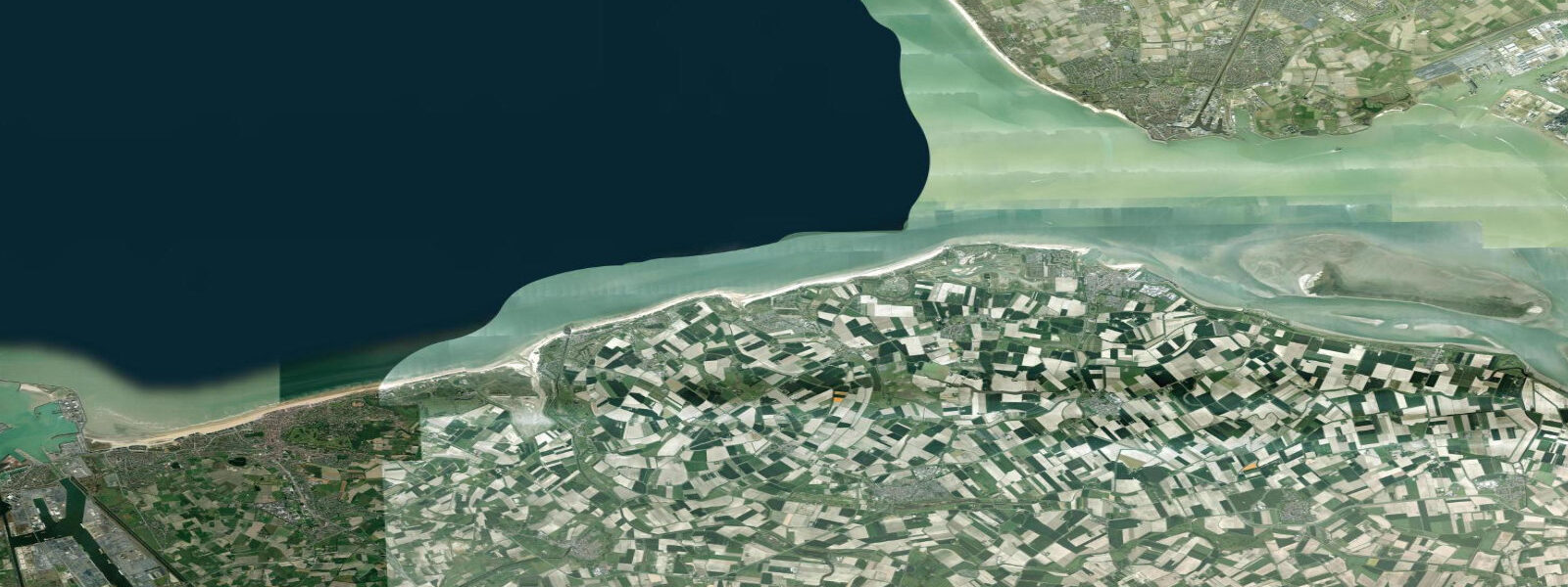
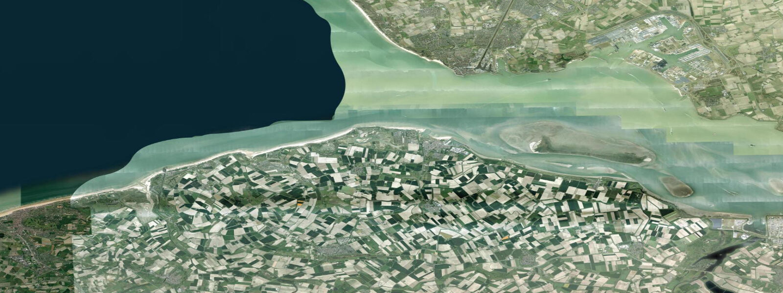
Knokke-Heist sits at the northeastern end of the Belgian coast, the last municipality before the Dutch border and the Westerschelde estuary mouth. It is a single coastal commune that runs through Heist, Duinbergen, Albertstrand, Knokke, and the protected Het Zwin nature reserve at the Dutch frontier — about twelve kilometres of beachfront in total, with the Zeedijk-Heist promenade running the length of the seawall and the Casino Knokke and the Albertplein anchoring the resort end. Het Zwin, on the border with the Netherlands, is the saltmarsh that once formed the medieval Bruges shipping channel before silting up; today it is a 158-hectare cross-border tidal nature reserve managed jointly with the Dutch Zeeuws-Vlaanderen authorities, with a network of dykes, salt-tolerant vegetation, and migratory bird traffic that is one of the most active on the southern North Sea coast.
Zeebrugge port — Belgium's largest container and roll-on roll-off port — sits roughly five kilometres west of Knokke. The tide at Knokke-Heist is the full North Sea macrotidal regime, and slightly larger than Ostend because the coast here approaches the Westerschelde estuary mouth, which acts as a partial funnel and amplifies the tidal range marginally as the wave propagates into the estuary. 5 metres.
Two highs and two lows daily, twelve hours and twenty-five minutes apart, with the same clean semidiurnal North Sea signal. 2 metres; neap tides during the quarter moons compress toward 3 metres. The wide intertidal sand flats expose several hundred metres at low water, and at Het Zwin the tide actually runs into the saltmarsh through the controlled inlet from the sea, flushing the marsh creeks and the salt-tolerant vegetation on each tidal cycle.
That tidal-marsh flushing is what keeps Het Zwin functioning as a coastal saltmarsh rather than reverting to a freshwater system. Anglers along the Heist jetty and the Albertstrand groynes target sea bass and flatfish on the flooding tide; the windows around peak flood and the first hour of ebb are the traditional casting times. Paddlers and SUP riders launching from the Albertstrand or the Knokke beach time crossings near the Zeebrugge harbour mouth carefully — the harbour entrance carries commercial traffic and strong tidal current — with the slack windows around predicted high and low (about 30 to 45 minutes either side) the operational planning targets.
Beach-walking families along the Zeedijk-Heist find the widest dry strand two to three hours either side of predicted low, when several hundred metres of flat sand open up between the dyke and the low-water line. Birdwatchers at Het Zwin time visits for the rising tide, when waders and shorebirds concentrate at the receding mudflat edges as the marsh fills; the spring high tides cover most of the marsh interior and push the bird traffic toward the dyke edges and the upper salt meadow. Photographers shooting the Casino Knokke or the Het Zwin marsh from the dyke get the highest water levels against the seawall and the marsh creeks at predicted high.
The predictions on this page come from Open-Meteo Marine, a gridded global ocean model. 3 metres on height. For a coast with a 4-metre swing, the height uncertainty is small relative to the signal — the rhythm, timing, and approximate height of high and low water are reliable for general planning.
The authoritative source for precise operational data is Vlaamse Hydrografie (Flemish Hydrography), part of MDK (Maritieme Dienstverlening en Kust), which operates the regional gauge network including Zeebrugge and Ostend and publishes the official Belgian tide tables.
Tide questions about Knokke-Heist
Quick answers to the most common questions about tide times, range, and water access at Knokke-Heist.
When is the next high tide at Knokke-Heist?
The hero block at the top of this page shows the next predicted high at Knokke-Heist in local Central European Time (CET/CEST, UTC+1/UTC+2). The pattern is semidiurnal — two highs and two lows daily, twelve hours and twenty-five minutes apart, with a clean predictable North Sea macrotidal signal. Mean range here is 4.0 to 4.7 metres, slightly larger than Ostend because the coast approaches the Westerschelde estuary mouth. Vlaamse Hydrografie (Flemish Hydrography), the hydrographic arm of MDK, publishes the authoritative Belgian tide tables and operates the regional gauge network including Zeebrugge.
What's the typical tide range at Knokke-Heist?
Mean range at Knokke-Heist is 4.0 to 4.7 metres — full North Sea macrotidal, and slightly larger than Ostend (3.8 to 4.5 metres) because the coast here approaches the Westerschelde estuary, which acts as a partial funnel amplifying the tidal wave. Spring tides around new and full moons push toward 5.2 metres; neap tides during quarter moons compress toward 3 metres. The wide intertidal sand flats expose several hundred metres at low water, and at Het Zwin the saltmarsh interior fills and drains with each tidal cycle through the controlled inlet.
Where do these tide predictions come from?
Open-Meteo Marine, a free gridded global ocean model. Accuracy is typically within plus or minus 45 minutes on timing and within roughly 0.3 metres on height. For a 4-metre swing, the height uncertainty is small relative to the actual signal — the predicted rhythm, timing, and approximate height of high and low water are reliable for general planning. For authoritative operational data on the Belgian coast, use Vlaamse Hydrografie (Flemish Hydrography), part of MDK, which operates the regional gauge network and publishes the official Belgian tide tables.
How does the tide affect Het Zwin nature reserve?
Substantially. Het Zwin is a 158-hectare tidal saltmarsh on the Dutch-Belgian border, fed by a controlled inlet that lets seawater flush the marsh interior on each tidal cycle. The flushing is what keeps the system functioning as a saltmarsh rather than reverting to freshwater habitat. At spring high tides, most of the marsh interior covers; at low tide, the creeks and mudflats drain and expose the wader feeding zones. Birdwatching is best timed to the rising tide, when shorebirds concentrate at the receding mudflat edges as the marsh fills. The reserve is jointly managed with the Dutch Zeeuws-Vlaanderen authorities and is one of the more active migratory bird sites on the southern North Sea.
Is this safe to use for navigation?
No. For vessel operations near Knokke-Heist, the approaches to Zeebrugge port, and the Westerschelde estuary mouth, use official charts from Vlaamse Hydrografie, the Belgian Navy hydrographic service, the Dutch Hydrographic Service, or the UK Hydrographic Office, and the Notices to Mariners published by the Belgian Maritime Coastal Services (MDK) and Rijkswaterstaat for the Dutch waters. The Zeebrugge harbour mouth carries heavy commercial container and roll-on roll-off traffic and strong tidal current — local pilotage is the standard for commercial vessels and recommended for visiting yachts. Vlaamse Hydrografie publishes real-time gauge data for the regional ports.
8-day tide table — Knokke-Heist
Heights relative to MSL. Predictions: Open-Meteo Marine (MeteoFrance SMOC, 0.08° grid) — heights relative to MSL (not chart datum / LAT). Model-derived.
| Day | Type | Time | Height |
|---|---|---|---|
| Wed 29 Jul | High | 02:00 | 1.2m |
| Low | 08:10 | -1.4m | |
| High | 14:23 | 1.4m | |
| Low | 20:27 | -1.7m | |
| Thu 30 Jul | High | 02:46 | 1.4m |
| Low | 08:54 | -1.5m | |
| High | 14:52 | 1.3m | |
| Low | 21:04 | -1.9m | |
| Fri 31 Jul | High | 03:14 | 1.5m |
| Low | 09:22 | -1.6m | |
| High | 15:19 | 1.5m | |
| Low | 21:42 | -2.1m | |
| Sat 01 Aug | High | 03:47 | 1.5m |
| Low | 09:57 | -1.7m | |
| High | 15:55 | 1.5m | |
| Low | 22:16 | -2.2m | |
| Sun 02 Aug | High | 04:18 | 1.6m |
| Low | 10:34 | -1.8m | |
| High | 16:31 | 1.5m | |
| Low | 22:51 | -2.1m | |
| Mon 03 Aug | High | 04:57 | 1.7m |
| Low | 11:12 | -1.8m | |
| High | 17:09 | 1.5m | |
| Low | 23:28 | -2.3m | |
| Tue 04 Aug | High | 05:38 | 1.6m |
| Low | 11:50 | -1.7m | |
| High | 17:55 | 1.7m | |
| Wed 05 Aug | Low | 00:11 | -1.9m |