Puerto Pirámides tide times
Puerto Pirámides tide forecast — heights relative to MSL.
Today's tide times for Puerto Pirámides
Tide times at Puerto Pirámides on Sunday, 21 June 2026: first high tide at 02:19, first low tide at 08:03, second high tide at 14:26, second low tide at 20:33. Sunrise 08:47, sunset 17:50.
Tide chart for Puerto Pirámides
24-hour cosine-interpolated curve around the present moment. Heights relative to MSL. Predictions: Predictions: Open-Meteo Marine (MeteoFrance SMOC, 0.08° grid).
Sun, moon and conditions on Sun 21 Jun
Snapshot at build time — refreshes daily. Sea state from Open-Meteo Marine.
Highs and lows next 7 days
Every predicted high and low for the next week, with the daily tidal coefficient (0–120; higher = bigger swing, > 95 means stronger currents).
Other spots nearby
The three closest curated TideTurtle locations to Puerto Pirámides, measured by great-circle distance.
Today's solunar windows
Solunar tradition: major periods are the ≈3h windows around moon transit and opposition; minor are ≈2h around moonrise and moonset. Pair with the local tide stage and wind for the best read.
Cycle dates near Puerto Pirámides
Last spring tide on Sat 20 Jun (range 4.4m). Next neap on Thu 25 Jun.
Spring tides cluster around new and full moons (biggest swings). Neap tides land on quarter moons (smallest swings). See the spring tide and neap tide glossary entries for the why.
About tides at Puerto Pirámides
A short guide to the coastline at Puerto Pirámides — geography, sea state, and what the tide is actually doing under your feet.
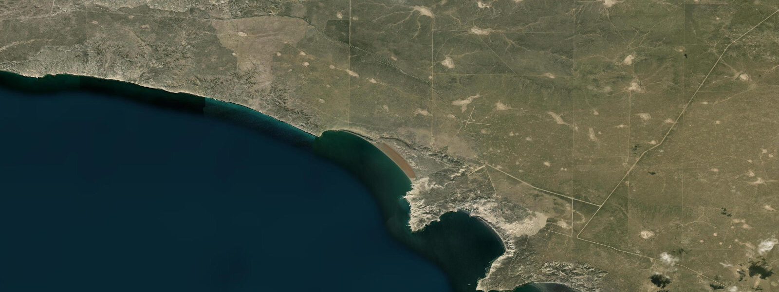
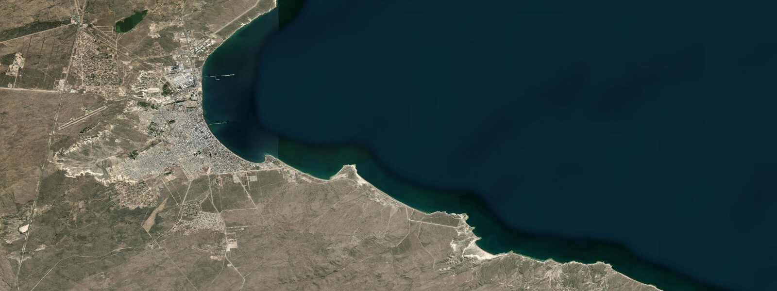
Puerto Pirámides is the only town on the Valdés Peninsula — a UNESCO World Heritage site extending 100 km into the South Atlantic off the Chubut coast. The town sits on the eastern shore of the Golfo Nuevo at the base of the pyramidal sand cliffs that give it its name, and from here the whale-watching boats work the gulf waters for six months of the year. 0 m — though the tidal phase inside the Golfo Nuevo differs slightly from the open coast, with high water arriving at Puerto Pirámides roughly 20 to 30 minutes later than at Puerto Madryn.
The whale-watching season runs June through December. Southern right whales (Eubalaena australis) mate and calve in the sheltered waters of Golfo Nuevo and Golfo San José on either side of the peninsula, and the boats from Puerto Pirámides operate within a defined exclusion zone around whale groups; the captains read tide and sea state carefully before departure. The sea lion colony at Punta Piramide, the headland immediately north of the town, is active year-round.
The intertidal zone below the pyramidal cliffs holds sea stars, mussels, and limpet communities at low water. Punta Norte, 80 km north on the outer peninsula coast, is the location of the orca beaching behaviour — killer whales (Orcinus orca) intentionally strand on the beach to catch southern sea lion (Otaria flavescens) pups, generally attempting beachings as high water approaches and the upper beach is accessible. The SHN predicts orca-activity windows at Punta Norte around tidal state, and the wildlife guides at Puerto Pirámides plan observation excursions accordingly.
The Servicio de Hidrografía Naval (SHN) is the authoritative source for tidal predictions on the Argentine coast; Open-Meteo Marine supplements with gridded model data. Verify with SHN before any boat departure or coastal activity.
Tide questions about Puerto Pirámides
Quick answers to the most common questions about tide times, range, and water access at Puerto Pirámides.
What is the tidal range at Puerto Pirámides?
Mean tidal range at Puerto Pirámides is approximately 5.5 to 6.0 m, comparable to Puerto Madryn across the Golfo Nuevo. The Golfo Nuevo's partially-enclosed geometry amplifies the South Atlantic tidal signal; the peninsula's sheltering reduces fetch, making conditions calmer than the outer coast but the tidal excursion equally large. High water at Puerto Pirámides arrives roughly 20 to 30 minutes later than at Puerto Madryn.
When do orcas beach themselves at Punta Norte?
Orca intentional-stranding at Punta Norte occurs during the southern sea lion pupping season, from February through April, with peak activity in March. The beachings are generally attempted as the tide approaches high water and the upper beach is accessible — guides at Puerto Pirámides and the Punta Norte interpretation centre monitor tidal state alongside sea lion pup activity to forecast likely beaching windows. Arrange an excursion with a licensed Valdés Peninsula guide for the best access and timing.
Is whale watching from Puerto Pirámides tide-dependent?
The whale-watching boats depart on a fixed seasonal schedule and are more dependent on sea state than tidal state. Calmer water in the morning typically offers better observation conditions and whale behaviour visibility. The captains monitor wind, swell, and tidal current before departure and may delay for sea state; the whales themselves are present in Golfo Nuevo regardless of the tide. Book morning trips for calmer conditions — afternoons in Patagonia frequently bring stronger winds.
What else is there to see near Puerto Pirámides?
The Valdés Peninsula UNESCO World Heritage site offers several distinct wildlife experiences: the sea lion colony at Punta Piramide (a 10-minute walk from town), Playa Doradillo beach (right-whale beach feeding on incoming tides, 40 km west via Puerto Madryn), the elephant seal colonies at Punta Cantor and Punta Norte (accessible by day trip), and the orca beaching behaviour at Punta Norte in season. The low-water intertidal under the pyramidal cliffs holds rockpool fauna worth examining. Puerto Pirámides has a small number of hotels, dive operators, and restaurants — limited services, book ahead in whale season.
Are tide predictions for Puerto Pirámides guaranteed to be accurate?
No prediction is guaranteed. Data on this page comes from Open-Meteo Marine modelling (typical accuracy ±45 minutes on timing, ±0.2–0.3 m on height) and is planning guidance only. The Servicio de Hidrografía Naval (SHN) is the authoritative source for Argentine tidal data. With a 5.5 to 6.0 m mean range, even small timing errors carry real consequences for activities in the intertidal zone — always verify with SHN before boat departures or coastal activities. This site does not accept responsibility for decisions made based on these predictions.
7-day tide table — Puerto Pirámides
Heights relative to MSL. Predictions: Open-Meteo Marine (MeteoFrance SMOC, 0.08° grid) — heights relative to MSL (not chart datum / LAT). Model-derived.
| Day | Type | Time | Height |
|---|---|---|---|
| Sun 21 Jun | High | 02:19 | 2.0m |
| Low | 08:03 | -1.8m | |
| High | 14:26 | 2.2m | |
| Low | 20:33 | -2.2m | |
| Mon 22 Jun | High | 02:58 | 2.1m |
| Low | 09:01 | -1.8m | |
| High | 15:07 | 1.9m | |
| Low | 21:28 | -2.1m | |
| Tue 23 Jun | High | 03:47 | 1.9m |
| Low | 09:53 | -1.7m | |
| High | 15:55 | 1.8m | |
| Low | 22:19 | -1.9m | |
| Wed 24 Jun | High | 04:31 | 1.7m |
| Low | 10:52 | -1.9m | |
| High | 16:49 | 1.4m | |
| Low | 23:12 | -1.8m | |
| Thu 25 Jun | High | 05:13 | 1.6m |
| Low | 11:47 | -1.9m | |
| High | 17:39 | 1.2m | |
| Fri 26 Jun | Low | 00:07 | -1.9m |
| High | 06:02 | 1.3m | |
| Low | 12:37 | -1.8m | |
| High | 18:36 | 1.4m | |
| Sat 27 Jun | Low | 01:00 | -1.5m |
| High | 06:58 | 1.8m | |
| Low | 13:35 | -1.4m | |
| High | 20:00 | 1.7m |