Puerto Madryn tide times
Puerto Madryn tide forecast — heights relative to MSL.
Today's tide times for Puerto Madryn
Tide times at Puerto Madryn on Sunday, 21 June 2026: first high tide at 02:17, first low tide at 08:01, second high tide at 14:22, second low tide at 20:30. Sunrise 08:51, sunset 17:52.
Tide chart for Puerto Madryn
24-hour cosine-interpolated curve around the present moment. Heights relative to MSL. Predictions: Predictions: Open-Meteo Marine (MeteoFrance SMOC, 0.08° grid).
Sun, moon and conditions on Sun 21 Jun
Snapshot at build time — refreshes daily. Sea state from Open-Meteo Marine.
Highs and lows next 7 days
Every predicted high and low for the next week, with the daily tidal coefficient (0–120; higher = bigger swing, > 95 means stronger currents).
Other spots nearby
The three closest curated TideTurtle locations to Puerto Madryn, measured by great-circle distance.
Today's solunar windows
Solunar tradition: major periods are the ≈3h windows around moon transit and opposition; minor are ≈2h around moonrise and moonset. Pair with the local tide stage and wind for the best read.
Cycle dates near Puerto Madryn
Last spring tide on Sat 20 Jun (range 4.4m). Next neap on Thu 25 Jun.
Spring tides cluster around new and full moons (biggest swings). Neap tides land on quarter moons (smallest swings). See the spring tide and neap tide glossary entries for the why.
About tides at Puerto Madryn
A short guide to the coastline at Puerto Madryn — geography, sea state, and what the tide is actually doing under your feet.
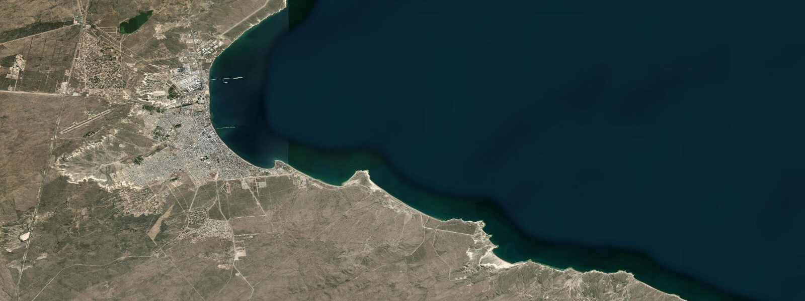
Puerto Madryn sits inside the Golfo Nuevo on the Chubut coast of Patagonia, and the tide here is a major physical fact of daily life. 0 m — one of the largest on the South Atlantic coast, and the direct result of the Golfo Nuevo's semicircular geometry amplifying the open-ocean tidal signal before it reaches the harbour. Spring tides at new and full moons push the range higher; neap tides compress it toward 4 m.
The practical effect is pronounced: at low water the harbour floor is largely exposed in the intertidal zone, and the sea retreats hundreds of metres on the gently sloping Doradillo beach north of the city. 2 hours between high and low, with the sea rising and falling approximately 1 m per hour on average through the mid-tide range. Anyone launching a boat, kayaking, or walking the intertidal needs to be clear on whether the tide is ebbing or flooding and how much time remains.
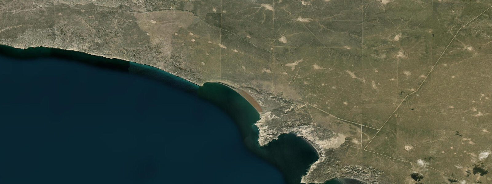
Playa Doradillo, 17 km north of the city, is where southern right whales (Eubalaena australis) feed in the shallows during the June-to-December calving and mating season in the gulf. The whales' approach to the beach correlates with the incoming tide, when rising water pushes krill concentrations inshore toward the shallows. Observing from the clifftop above the beach at high water approaching — preferably on a spring tide — gives the best chances of close-range feeding behaviour.
Puerto Madryn itself is the service base for the Valdés Peninsula whale-watching boats and the entry point for most visitors to the UNESCO World Heritage area. 3 m on height. Always cross-check SHN before any activity where the 6 m range makes tidal state safety-critical.
Tide questions about Puerto Madryn
Quick answers to the most common questions about tide times, range, and water access at Puerto Madryn.
What is the tidal range at Puerto Madryn?
Mean tidal range at Puerto Madryn is approximately 6.0 m relative to Chart Datum — one of the largest on the South Atlantic coast. The Golfo Nuevo's partially-enclosed geometry amplifies the open-ocean South Atlantic tidal signal considerably. Spring tides at new and full moons can push the range above 7 m; neap tides compress toward 4 m. The regime is semidiurnal, with two complete tidal cycles per day.
When is the best time to see southern right whales at Puerto Madryn?
Southern right whales (Eubalaena australis) are present in Golfo Nuevo from June through December, with peak numbers in September and October. For close beach approaches at Playa Doradillo (17 km north of the city), the incoming tide — particularly on spring-tide days — pushes krill inshore and draws feeding whales toward the shallows. Arrive at the clifftop viewpoint approximately two hours before predicted high water for the best combination of whale activity and water depth. Boat-based whale watching from Puerto Madryn harbour operates independently of tide state.
Is it safe to walk the intertidal zone at Puerto Madryn?
The 6 m tidal range makes the intertidal zone both dramatic and unforgiving. The sea rises and falls approximately 1 m per hour on average through the mid-tide range — faster than most people can comfortably walk on wet, soft substrate. Always check the SHN tide table for the day before entering the intertidal, confirm whether the tide is ebbing or flooding, and allow a generous margin to return before the flood reaches you. Never walk the low-water zone within three hours of low tide on a spring cycle without a clear exit route and timing plan.
What is Playa Doradillo, and how do I get there?
Playa Doradillo is an 8 km beach 17 km north of Puerto Madryn along the Golfo Nuevo coast, famous for southern right whales approaching the shore to feed in the shallows. A clifftop road runs the length of the beach, giving elevated views over the water. The beach is accessible by car or organised tour from Puerto Madryn; the road is unpaved but manageable in a standard vehicle in dry conditions. No facilities are on the beach itself — bring water and wind protection. Best visited on the incoming tide during the June-to-December whale season.
Are tide predictions for Puerto Madryn guaranteed to be accurate?
No prediction is guaranteed. Tide times and heights on this page come from Open-Meteo Marine modelling (typical accuracy ±45 minutes on timing, ±0.2–0.3 m on height) and are intended as planning guidance only. The Servicio de Hidrografía Naval (SHN) is the authoritative source for Argentine tidal data. Given the 6 m mean range at Puerto Madryn, small prediction errors translate to significant real-world water level differences — always verify with SHN before any activity where tidal state is safety-critical. This site does not accept responsibility for decisions made based on these predictions.
7-day tide table — Puerto Madryn
Heights relative to MSL. Predictions: Open-Meteo Marine (MeteoFrance SMOC, 0.08° grid) — heights relative to MSL (not chart datum / LAT). Model-derived.
| Day | Type | Time | Height |
|---|---|---|---|
| Sun 21 Jun | High | 02:17 | 2.0m |
| Low | 08:01 | -1.8m | |
| High | 14:22 | 2.2m | |
| Low | 20:30 | -2.2m | |
| Mon 22 Jun | High | 02:56 | 2.1m |
| Low | 09:00 | -1.8m | |
| High | 15:05 | 1.9m | |
| Low | 21:25 | -2.1m | |
| Tue 23 Jun | High | 03:44 | 1.8m |
| Low | 09:51 | -1.7m | |
| High | 15:53 | 1.8m | |
| Low | 22:16 | -1.9m | |
| Wed 24 Jun | High | 16:45 | 1.4m |
| Low | 23:09 | -1.8m | |
| Thu 25 Jun | High | 05:09 | 1.5m |
| Low | 11:45 | -1.9m | |
| High | 17:35 | 1.2m | |
| Fri 26 Jun | Low | 00:05 | -1.9m |
| High | 05:58 | 1.3m | |
| Low | 12:35 | -1.8m | |
| High | 18:32 | 1.3m | |
| Sat 27 Jun | Low | 00:59 | -1.6m |
| High | 06:53 | 1.8m | |
| Low | 13:33 | -1.4m | |
| High | 19:27 | 1.7m |