Chincoteague tide times
Chincoteague tide forecast — heights relative to MSL.
Today's tide times for Chincoteague
Tide times at Chincoteague on Friday, 19 June 2026: first low tide at 04:54am, first high tide at 11:04am, second low tide at 05:06pm, second high tide at 11:27pm. Sunrise 05:39am, sunset 08:26pm.
Tide chart for Chincoteague
24-hour cosine-interpolated curve around the present moment. Heights relative to MSL. Predictions: Predictions: Open-Meteo Marine (MeteoFrance SMOC, 0.08° grid).
Sun, moon and conditions on Fri 19 Jun
Snapshot at build time — refreshes daily. Sea state from Open-Meteo Marine.
Highs and lows next 7 days
Every predicted high and low for the next week, with the daily tidal coefficient (0–120; higher = bigger swing, > 95 means stronger currents).
Other spots nearby
The three closest curated TideTurtle locations to Chincoteague, measured by great-circle distance.
Today's solunar windows
Solunar tradition: major periods are the ≈3h windows around moon transit and opposition; minor are ≈2h around moonrise and moonset. Pair with the local tide stage and wind for the best read.
Cycle dates near Chincoteague
Next spring tide on Fri 19 Jun (range 1.3m / 4.4ft). Next neap on Tue 23 Jun.
Spring tides cluster around new and full moons (biggest swings). Neap tides land on quarter moons (smallest swings). See the spring tide and neap tide glossary entries for the why.
About tides at Chincoteague
A short guide to the coastline at Chincoteague — geography, sea state, and what the tide is actually doing under your feet.
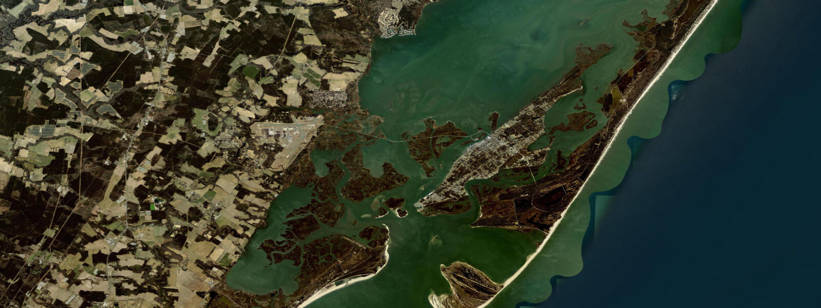
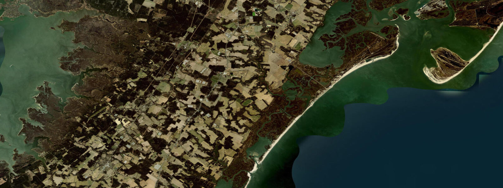
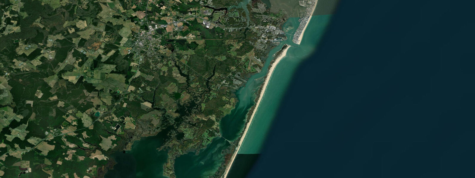
Chincoteague sits on a barrier island on Virginia's Eastern Shore, separated from the Atlantic by Assateague Island and connected to the mainland by a single causeway. The tidal pattern here is semidiurnal — two highs and two lows each day — with a mean range of roughly 1.2 metres. Low water exposes broad mud flats and oyster beds along the bay side; high water pushes up into the island's marshes and channels. The difference between spring tides (near 1.5 m) and neaps (around 0.8 m) is significant enough to plan around.
Anglers fish the channel edges at the turn of the tide, when striped bass and flounder stage in the current breaks. The Assateague Channel holds good current on both flood and ebb; crabbers work the shallower sections by kayak, dropping pots at mid-tide. Surf fishing on the Atlantic beach requires a permit for vehicle access, but foot access is free — target troughs at low water, then move back as the tide returns.
Kayakers and paddleboarders use the bay side almost exclusively. The flats behind Assateague Island are an hour of easy paddling at mid-tide, with wild pony sightings a near certainty in the channels near the wildlife refuge. Avoid the main channel at peak tidal flow — motorboat traffic moves quickly and the current can push 2 knots on a strong ebb.
The Chincoteague National Wildlife Refuge manages the southern portion of Assateague, and vehicle access to the beach requires a permit obtainable at the refuge entrance. Beach fishing for red drum picks up in September and October as fish move through on their fall migration; flounder season peaks June through August in the back bay.
Families tend toward the refuge beach — a National Seashore managed stretch with lifeguards during summer. The beach faces east, so morning light is direct and harsh; afternoon photographers get better side-lighting on the dunes and ponies. High tide keeps the sand strip narrow in midsummer; plan beach arrivals at mid-ebb for maximum room.
Birding is exceptional on an incoming tide, when herons and egrets work the exposed edges ahead of the flooding water. The impoundments inside the refuge are managed for waterfowl; peak shorebird activity runs April through May and again August through September.
Predictions on this page come from Open-Meteo Marine, a gridded global ocean model. Accuracy is typically within plus or minus 45 minutes on timing and 0.2 to 0.3 metres on height — model-derived, not from a local gauge. For authoritative US tide data, consult NOAA CO-OPS at tidesandcurrents.noaa.gov.
Tide questions about Chincoteague
Quick answers to the most common questions about tide times, range, and water access at Chincoteague.
What are the tides like at Chincoteague?
Chincoteague has semidiurnal tides — two highs and two lows per day. Mean range in the bay is around 1.2 metres, with springs reaching 1.5 m and neaps dropping to about 0.8 m. The Atlantic surf side on Assateague has a similar pattern but slightly more exposure. Low tide exposes extensive mud flats and oyster beds on the bay side; high tide pushes well into the marsh channels.
Is it safe to kayak around Chincoteague?
The bay side is generally safe for intermediate paddlers at mid-tide. The main Assateague Channel carries motorboat traffic and can push 2 knots on a strong ebb or flood — avoid it unless you're confident crossing in boat traffic. The back bay flats behind the refuge are calm and shallow. Check winds before launching: onshore wind against the ebb creates chop on exposed sections. Wear a PFD and file a float plan.
When does the surf fishing season peak?
Red drum (channel bass) season peaks September through November as fish migrate south. Striped bass run from October into early December. Flounder season is June through August. Vehicle access to Assateague beach requires a refuge permit — obtain it at the entrance. Foot access is free. Fish the troughs at low water and early on the incoming tide for best results.
When is the best time to see the wild ponies?
The Assateague ponies are visible year-round, but the best paddling encounters happen at mid-tide in the channels north of the Tom's Cove visitor center. The annual Pony Swim and Penning auction runs the last Wednesday and Thursday of July — the herd swims the Assateague Channel at slack water, so timing is tide-dependent and announced the morning of the swim.
Are there lifeguards on Chincoteague beaches?
Lifeguards patrol the refuge beach on Assateague Island from late June through Labor Day, typically 9 a.m. to 5 p.m. The guarded section shifts slightly year to year based on shoreline erosion. Outside those hours and dates, the beach is unguarded. Rip currents occur after storms and on steep-tide days; if in doubt, ask at the refuge entrance.
7-day tide table — Chincoteague
Heights relative to MSL. Predictions: Open-Meteo Marine (MeteoFrance SMOC, 0.08° grid) — heights relative to MSL (not chart datum / LAT). Model-derived.
| Day | Type | Time | Height |
|---|---|---|---|
| Fri 19 Jun | Low | 04:54 | -1.1m / -3.7ft |
| High | 11:04 | 0.1m / 0.2ft | |
| Low | 17:06 | -1.1m / -3.5ft | |
| High | 23:27 | 0.3m / 0.8ft | |
| Sat 20 Jun | Low | 05:47 | -1.1m / -3.5ft |
| High | 11:57 | 0.1m / 0.2ft | |
| Low | 18:06 | -1.0m / -3.3ft | |
| Sun 21 Jun | High | 00:12 | -0.0m / -0.0ft |
| Low | 06:33 | -1.1m / -3.7ft | |
| High | 12:56 | 0.1m / 0.2ft | |
| Low | 19:07 | -1.0m / -3.2ft | |
| Mon 22 Jun | High | 01:07 | -0.0m / -0.1ft |
| Low | 07:24 | -1.0m / -3.4ft | |
| High | 13:51 | 0.1m / 0.3ft | |
| Low | 20:12 | -1.0m / -3.3ft | |
| Tue 23 Jun | High | 02:00 | -0.2m / -0.7ft |
| Low | 08:08 | -1.1m / -3.5ft | |
| High | 14:40 | 0.1m / 0.3ft | |
| Low | 21:04 | -0.9m / -2.9ft | |
| Wed 24 Jun | High | 02:56 | -0.2m / -0.7ft |
| Low | 09:01 | -1.1m / -3.4ft | |
| Thu 25 Jun | High | 03:47 | -0.3m / -1.0ft |
| Low | 09:50 | -1.1m / -3.5ft | |
| High | 16:21 | 0.1m / 0.2ft | |
| Low | 19:00 | -0.2m / -0.6ft |