Ocean City, MD tide times
Ocean City, MD tide forecast — heights relative to MSL.
Today's tide times for Ocean City, MD
Tide times at Ocean City, MD on Sunday, 21 June 2026: first high tide at 12:36am, first low tide at 06:45am, second high tide at 01:10pm, second low tide at 07:22pm. Sunrise 05:37am, sunset 08:27pm.
Tide chart for Ocean City, MD
24-hour cosine-interpolated curve around the present moment. Heights relative to MSL. Predictions: Predictions: Open-Meteo Marine (MeteoFrance SMOC, 0.08° grid).
Sun, moon and conditions on Sun 21 Jun
Snapshot at build time — refreshes daily. Sea state from Open-Meteo Marine.
Highs and lows next 7 days
Every predicted high and low for the next week, with the daily tidal coefficient (0–120; higher = bigger swing, > 95 means stronger currents).
Other spots nearby
The three closest curated TideTurtle locations to Ocean City, MD, measured by great-circle distance.

Today's solunar windows
Solunar tradition: major periods are the ≈3h windows around moon transit and opposition; minor are ≈2h around moonrise and moonset. Pair with the local tide stage and wind for the best read.
Cycle dates near Ocean City, MD
Next spring tide on Mon 22 Jun (range 1.0m / 3.4ft). Next neap on Sun 21 Jun.
Spring tides cluster around new and full moons (biggest swings). Neap tides land on quarter moons (smallest swings). See the spring tide and neap tide glossary entries for the why.
About tides at Ocean City, MD
A short guide to the coastline at Ocean City, MD — geography, sea state, and what the tide is actually doing under your feet.
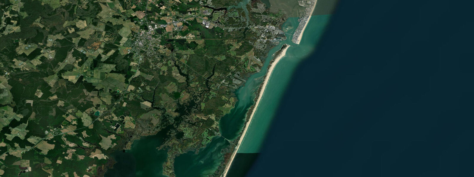
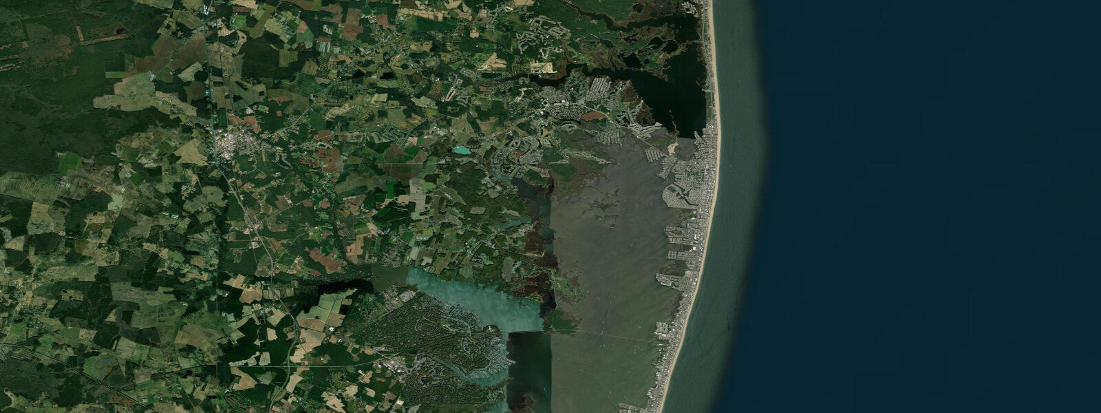
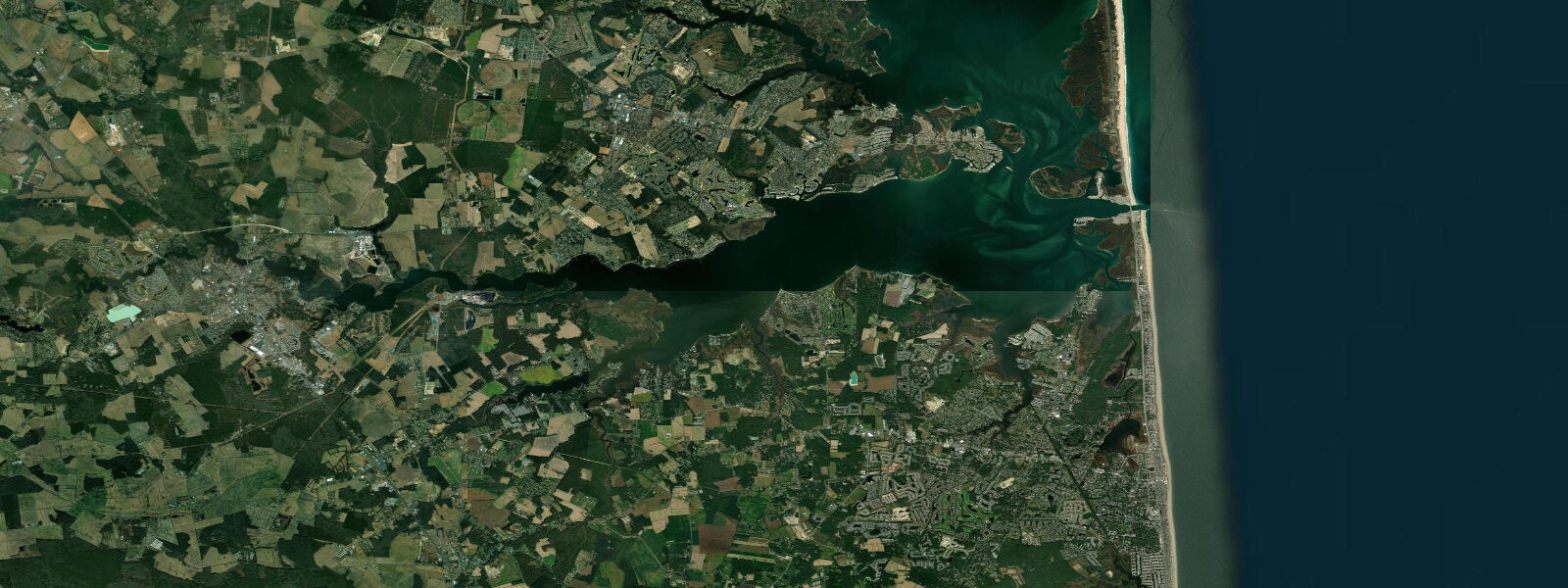
Ocean City sits on a narrow barrier island between the Atlantic Ocean and Isle of Wight Bay, with Assateague Island beginning immediately at its southern end. The ocean face runs semidiurnal tides with approximately 1.0 m mean range MLLW — the smallest mean range of any of Maryland's tidal stations, consistent with the slightly more southerly exposure on this section of the Delmarva coast. Isle of Wight Bay behind the boardwalk is near-flat; tidal range there is a few centimetres, entirely controlled by the hydraulic restriction of Ocean City Inlet.
Ocean City Inlet is the structural centre of the local tidal story. The inlet, stabilised by the Army Corps of Engineers with twin stone jetties in the 1930s, is the only tidal channel connecting the coastal bays from Ocean City south to Virginia with the Atlantic. Its navigated channel handles a mix of recreational fishing vessels, charter boats, commercial traffic, and the Assateague Island ferry. Tidal current through the inlet reaches 1.5–2 knots on spring ebb, enough to significantly affect vessel handling. The inlet has been dredged to a maintained depth of approximately 3 m MLLW; shoaling can reduce this between maintenance cycles and after major storms.
Assateague Island begins at the southern jetty of the inlet, and the contrast between the two barriers is sharp. Ocean City is fully developed; Assateague is federally managed, undeveloped, and home to the famous feral horse herd. The beach on the Assateague side of the inlet is accessible by boat or on foot across the inlet (ferry in season). Low tide exposes wide sandy flats on the Assateague ocean beach that are frequently used for surf fishing — access is easiest and the flat widest at mean lower low water, approximately 1.0 m below the high-tide line.
Surf fishing from the Ocean City beach is one of the most popular activities on the Maryland coast. Red drum, striped bass, and bluefish all run the Ocean City surf on moving tides, with early morning outgoing tide from October through November consistently productive for trophy stripers. The 10th Street pier and the jetty faces at the inlet provide structure fishing; the jetty south face on the flood tide concentrates bait-chasing blues in summer. Flounder anglers work the inlet channel edges where current and sand meet.
For families, the 3-mile boardwalk runs the full ocean face of the island, and the beach at its foot is widest and shallowest mid-tide. High tide reduces the dry beach strip; at very high water during storms, overwash can reach the boardwalk at lower elevation sections north of the commercial core. The Isle of Wight Bay side is protected from ocean swell and usable for stand-up paddleboarding, kayaking, and sailing at any tide stage given its near-zero tidal variability.
Tide predictions on TideTurtle use Open-Meteo Marine model output, which provides useful planning horizons but carries uncertainty of ±45 minutes on timing and ±0.2–0.3 m on height. NOAA CO-OPS station 8570283 (Ocean City Inlet) provides the authoritative local tide gauge record — use it for inlet navigation planning and any activity where precise low-water timing matters.
Tide questions about Ocean City, MD
Quick answers to the most common questions about tide times, range, and water access at Ocean City, MD.
What is the tidal range at Ocean City, MD?
Mean range at Ocean City is approximately 1.0 m MLLW — the difference between mean high water and mean low water. Spring tides (within 2 days of new or full moon) run about 15–20% higher than mean, producing a range closer to 1.2 m. The ocean face is semidiurnal, with two daily high tides and two low tides. Isle of Wight Bay behind the boardwalk is effectively non-tidal due to inlet restriction; the range there is a few centimetres under normal conditions.
When is the best time to fish the Ocean City Inlet jetties?
The north and south jetty faces fish best on moving water — the last 2 hours of ebb and the first 2 hours of flood produce the best concentrations of baitfish and the predators that follow them. In summer, bluefish stack on the north jetty tip on the incoming tide after dawn. In October and November, striped bass work the south jetty face on the outgoing tide at first light. Tidal current through the inlet runs up to 2 knots on spring ebb — strong enough to affect casting weight and position.
Can I walk to Assateague Island from Ocean City?
Not directly — Ocean City Inlet separates the two islands. In season (typically late May through September), a small ferry operates from the south end of Ocean City to the Assateague beach. Off-season, access to the Maryland side of Assateague is via Route 611 bridge, approximately 6 km south of the inlet. The Assateague beach itself is undeveloped and wild horses are present year-round; vehicles require a National Park Service beach driving permit during daylight hours from the southern entrance.
Is Isle of Wight Bay suitable for paddleboarding and kayaking?
Yes — Isle of Wight Bay is one of the best flat-water venues on the Maryland coast for SUP and kayaking precisely because it is near-non-tidal. The bay's surface changes with wind, not tide, so calm mornings (before the sea breeze builds around 10–11 a.m.) offer glassy conditions at any time. Multiple rental and launch points exist along the bay-side of the island. Water clarity is moderate; submerged grass beds near the Assateague shoreline support egrets and herons and are worth approaching slowly at dawn.
Are these tide predictions suitable for navigation through Ocean City Inlet?
No. Ocean City Inlet carries tidal current up to 2 knots on spring ebb and has a maintained dredged channel that can shoal between maintenance cycles. Tide and current predictions on TideTurtle are generated by Open-Meteo Marine and carry ±45 minutes timing uncertainty and ±0.2–0.3 m height uncertainty — not sufficient for inlet approach decisions. Use NOAA CO-OPS station 8570283 (Ocean City Inlet) for tide heights, and the NOAA tidal current predictions for the inlet channel, supplemented by current USCG Notices to Mariners for the latest dredging status.
7-day tide table — Ocean City, MD
Heights relative to MSL. Predictions: Open-Meteo Marine (MeteoFrance SMOC, 0.08° grid) — heights relative to MSL (not chart datum / LAT). Model-derived.
| Day | Type | Time | Height |
|---|---|---|---|
| Sun 21 Jun | High | 00:36 | -0.1m / -0.3ft |
| Low | 06:45 | -1.0m / -3.4ft | |
| High | 13:10 | -0.0m / -0.0ft | |
| Low | 19:22 | -1.0m / -3.1ft | |
| Mon 22 Jun | High | 01:25 | -0.1m / -0.4ft |
| Low | 07:36 | -1.0m / -3.3ft | |
| High | 14:06 | -0.0m / -0.1ft | |
| Tue 23 Jun | Low | 08:15 | -1.0m / -3.4ft |
| High | 15:15 | 0.0m / 0.0ft | |
| Low | 21:24 | -0.9m / -3.0ft | |
| Wed 24 Jun | High | 03:15 | -0.3m / -0.9ft |
| Low | 09:10 | -1.0m / -3.2ft | |
| High | 15:55 | 0.0m / 0.1ft | |
| Low | 22:42 | -0.9m / -2.9ft | |
| Thu 25 Jun | High | 04:10 | -0.3m / -1.0ft |
| Low | 10:00 | -0.9m / -3.1ft | |
| High | 16:47 | 0.1m / 0.3ft | |
| Low | 23:22 | -0.8m / -2.7ft | |
| Fri 26 Jun | High | 04:56 | -0.2m / -0.7ft |
| Low | 10:51 | -0.9m / -2.9ft | |
| High | 17:21 | 0.1m / 0.4ft | |
| Sat 27 Jun | Low | 00:12 | -0.8m / -2.7ft |
| High | 05:38 | -0.2m / -0.7ft | |
| Low | 11:36 | -0.9m / -2.9ft | |
| High | 18:10 | 0.1m / 0.4ft |