
South Padre Island, TX tide times
South Padre Island, TX tide forecast — heights relative to MSL.
Tide chart for South Padre Island, TX
24-hour cosine-interpolated curve around the present moment. Heights relative to MSL. Predictions: Predictions: Open-Meteo Marine (MeteoFrance SMOC, 0.08° grid).
Sun, moon and conditions on Tue 23 Jun
Snapshot at build time — refreshes daily. Sea state from Open-Meteo Marine.
Highs and lows next 7 days
Every predicted high and low for the next week, with the daily tidal coefficient (0–120; higher = bigger swing, > 95 means stronger currents).
Other spots nearby
The three closest curated TideTurtle locations to South Padre Island, TX, measured by great-circle distance.

Today's solunar windows
Solunar tradition: major periods are the ≈3h windows around moon transit and opposition; minor are ≈2h around moonrise and moonset. Pair with the local tide stage and wind for the best read.
About tides at South Padre Island, TX
A short guide to the coastline at South Padre Island, TX — geography, sea state, and what the tide is actually doing under your feet.
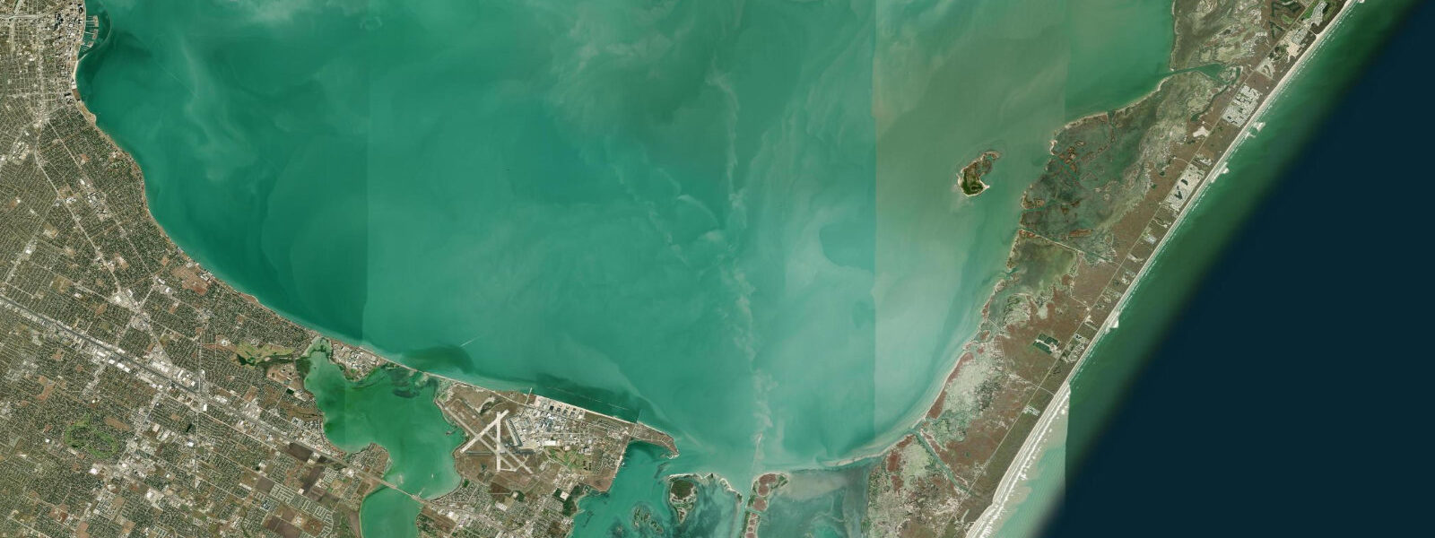
South Padre Island is the southern end of Padre Island, the long barrier sand spit that runs more than 200 kilometres along the south Texas coast. The town occupies the southernmost five kilometres of the island, just north of Brazos Santiago Pass — the inlet that separates South Padre from Boca Chica Beach and the mouth of the Rio Grande. The Gulf of Mexico is on the east side, the shallow Laguna Madre on the west, and the geometry produces a narrow ribbon of beach-and-bay community in one of the most remote coastal stretches in the lower 48.
The tide here is small and diurnal, the typical Gulf signal, with mean range about 0.38 metres above MLLW at the Brazos Santiago Pass gauge and a great diurnal range of 0.45 metres on the bigger days. Most days produce one notable high and one notable low spaced roughly 24 hours apart. On the moon's quarter phases the pattern can briefly turn mixed diurnal. The Laguna Madre on the bay side has even less astronomical tide than the Gulf side, because the long shallow lagoon attenuates the signal heavily, and most of the practical water-level variation in the lagoon is wind-driven. South Texas is windy on average, so wind tides regularly exceed the astronomical signal.
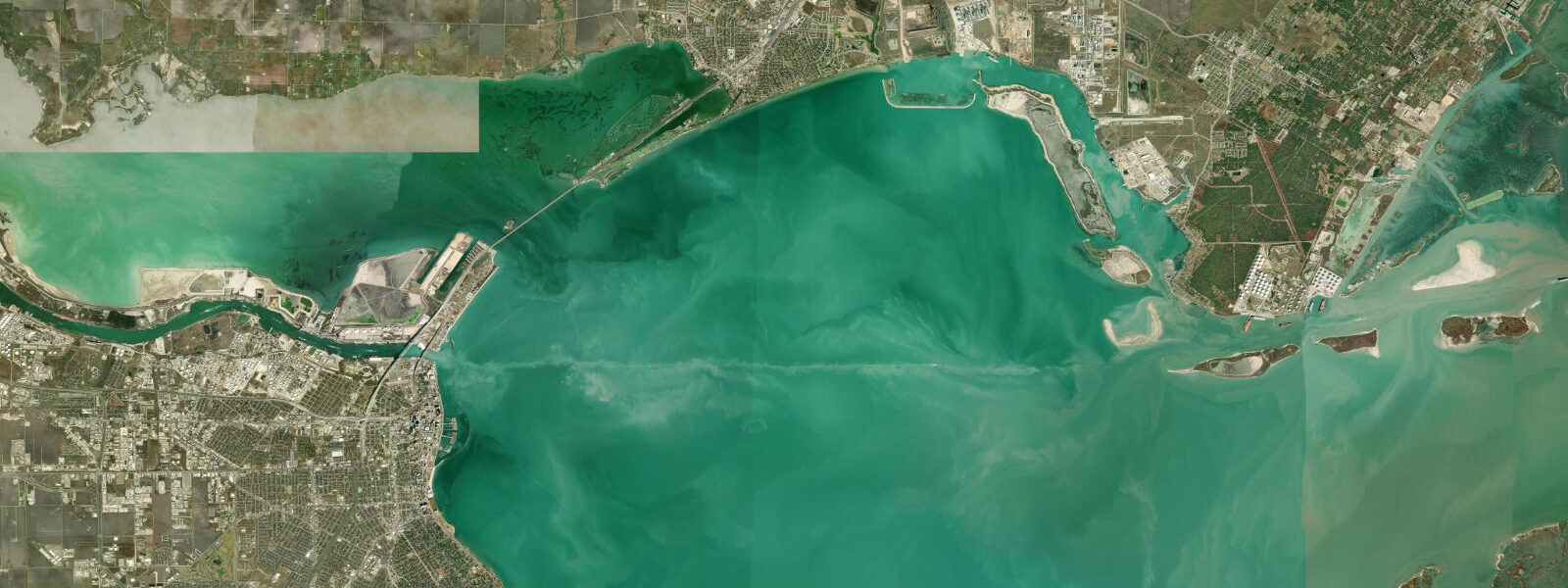
Brazos Santiago Pass is the geographic feature that ties the lagoon to the Gulf. The pass is dredged and jettied for the federal channel into the Port of Brownsville, and tidal current through the throat reaches 1.5 to 2 knots on the ebb despite the small tidal range. The Isla Blanca Park jetty on the South Padre side is one of the most productive shore-casting positions on the Texas coast: tarpon and snook in summer, redfish and pompano year-round, Spanish mackerel and bluefish on the seasonal runs. The pass is also the working entrance for shrimp boats out of Port Isabel and Brownsville, and the offshore charter fleet running for kingfish, ling, and snapper at the offshore reefs and the jack-up oil platforms 40 to 80 kilometres out.
The Gulf-facing beach runs north from the jetties for roughly 50 kilometres before reaching the closed access of Padre Island National Seashore (the long undeveloped middle stretch of Padre Island). The beach is open to vehicles north of the developed town section, a Texas tradition, and surf fishing from a 4WD drop is the standard approach. Spring break draws large crowds from inland Texas and Mexico in March; the rest of the year the beach is wide, quiet, and built on the same long-period Gulf swell that produces the unremarkable but consistent beach break south Texas surfers work.
The Laguna Madre side is the world capital of the kite, kayak, and SUP fishery for redfish on the flats. The lagoon is hyperhaline (saltier than seawater because evaporation exceeds inflow), shallow over most of its length, and supports vast seagrass beds that hold redfish year-round. Wading flats anglers and kayak anglers use the shallow grass on incoming tidal phases, when fish push onto the flats to feed in warming water. The South Padre Island bay side is also the consistent kiteboarding venue on the Texas coast — flat shallow water, steady afternoon onshore winds, no jellyfish problem.
The Sea Turtle Inc rescue and rehabilitation centre on Padre Boulevard is one of the longest-running sea-turtle conservation operations in Texas. Nesting Kemp's ridley turtles use the open beach north of town from April through July; the centre runs daily tours and releases rehabilitated turtles into the Gulf when ocean conditions and tide permit. Birding is also a draw — South Padre is a recognised Gulf migration funnel, with the South Padre Island Birding and Nature Center boardwalk on the bay side covering tidal mudflat, salt marsh, and dune habitats in a single accessible loop. Spring and autumn migrations bring concentrations of warblers, raptors, and shorebirds that the Coastal Bend's larger landscape disperses too widely to see in one visit.
Predictions on this page come from NOAA CO-OPS station 8779749 SPI Brazos Santiago (harmonic predictions, accurate to within minutes), the closest active gauge. The Port Isabel reference station (8779770) on the lagoon side controls the harmonic constants. Hurricane season runs June through November and the south Texas coast is vulnerable to landfalls from Mexican Gulf systems.
Tide questions about South Padre Island, TX
Quick answers to the most common questions about tide times, range, and water access at South Padre Island, TX.
What is the tidal range at South Padre Island?
Mean range at the Brazos Santiago Pass gauge is about 0.38 metres above MLLW, with a great diurnal range of 0.45 metres on the bigger days. The pattern is diurnal — one high and one low per day on most days. On the moon's quarter phases the pattern can briefly go mixed diurnal. The Laguna Madre on the bay side has even less astronomical signal because the long shallow lagoon attenuates the tide heavily; most water-level variation on the bay side is wind-driven, and sustained south or southeast winds can raise the lagoon level by 0.3 metres or more.
Where is the best fishing on South Padre Island?
The Isla Blanca Park jetty at Brazos Santiago Pass is the most productive shore-casting position. Tarpon and snook in summer, redfish and pompano year-round, Spanish mackerel and bluefish on the seasonal runs. The Laguna Madre flats on the bay side are the world capital of kayak and wade fishing for redfish, particularly on incoming tidal phases when fish push onto the warming grass beds. Surf fishing from the open beach north of town produces redfish, black drum, and pompano. A Texas saltwater fishing licence is required, with a separate red drum tag for keeper-size fish.
Can I drive on the beach at South Padre Island?
Yes, on the open beach north of the developed town section, in line with Texas's traditional public-beach access law. The first kilometre or so of beach beyond the last paved access is busy in season and patrolled; further north access requires 4WD and a tide-aware approach because soft sand near the surf line can trap a vehicle on a rising tide. Day-use is fine without a permit; overnight camping requires the South Padre Island beach permit. Padre Island National Seashore north of Mansfield Channel has its own access rules — separate park system, separate permit.
Where do these tide predictions come from?
NOAA CO-OPS station 8779749 SPI Brazos Santiago, on the South Padre Island side of Brazos Santiago Pass. The Port Isabel reference station 8779770 on the Laguna Madre side controls the harmonic constants for this stretch. NOAA harmonic predictions resolve the diurnal Gulf signal and are navigation-grade under normal weather. Wind tides on the lagoon side can exceed the astronomical signal during sustained south winds, so check the marine forecast alongside the tide table for bay-side planning.
Is this safe to use for navigation?
No. For piloting Brazos Santiago Pass or the Laguna Madre, use NOAA Chart 11302 and the current USCG notices. The pass is the working federal channel for the Port of Brownsville with significant commercial traffic, and the Laguna Madre is shallow over most of its length with extensive shoals and unmarked obstructions. The Intracoastal Waterway runs the length of the lagoon and is the marked through-route. Bay-side navigation also requires close attention to wind-driven water-level changes that can ground a boat unexpectedly during a north-wind drainage event.
6-day tide table — South Padre Island, TX
Heights relative to MSL. Predictions: Open-Meteo Marine (MeteoFrance SMOC, 0.08° grid) — heights relative to MSL (not chart datum / LAT). Model-derived.
| Day | Type | Time | Height |
|---|---|---|---|
| Tue 23 Jun | — | ||
| Wed 24 Jun | — | ||
| Thu 25 Jun | Low | 17:50 | -0.5m / -1.7ft |
| Fri 26 Jun | High | 04:10 | 0.0m / 0.1ft |
| Low | 18:50 | -0.5m / -1.7ft | |
| Sat 27 Jun | — | ||
| Sun 28 Jun | High | 06:00 | 0.1m / 0.2ft |
| Low | 20:10 | -0.6m / -2.0ft | |