Newport, RI tide times
Newport, RI tide forecast — heights relative to MLLW.
Today's tide times for Newport, RI
Tide times at Newport, RI on Sunday, 26 July 2026: first low tide at 12:07am, first high tide at 06:24am, second low tide at 11:32am, second high tide at 06:52pm. Sunrise 05:34am, sunset 08:09pm.
Tide chart for Newport, RI
24-hour cosine-interpolated curve around the present moment. Heights relative to MLLW. Predictions: NOAA CO-OPS station 8452660.
Sun, moon and conditions on Sun 26 Jul
Snapshot at build time — refreshes daily. Sea state from NOAA harmonic predictions.
Highs and lows next 7 days
Every predicted high and low for the next week, with the daily tidal coefficient (0–120; higher = bigger swing, > 95 means stronger currents).
Other spots nearby
The three closest curated TideTurtle locations to Newport, RI, measured by great-circle distance.
Today's solunar windows
Solunar tradition: major periods are the ≈3h windows around moon transit and opposition; minor are ≈2h around moonrise and moonset. Pair with the local tide stage and wind for the best read.
Cycle dates near Newport, RI
Next spring tide on Fri 31 Jul (range 1.1m / 3.7ft). Next neap on Mon 27 Jul.
Spring tides cluster around new and full moons (biggest swings). Neap tides land on quarter moons (smallest swings). See the spring tide and neap tide glossary entries for the why.
About tides at Newport, RI
A short guide to the coastline at Newport, RI — geography, sea state, and what the tide is actually doing under your feet.
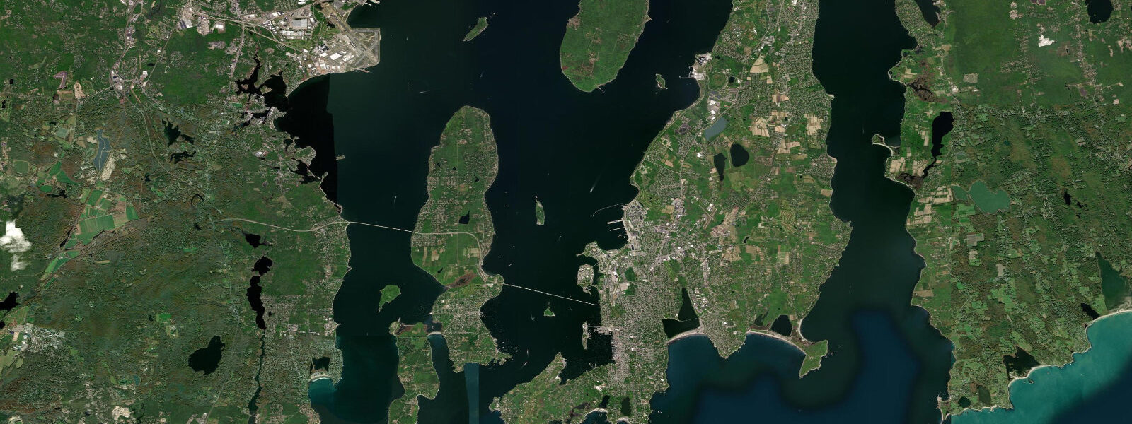
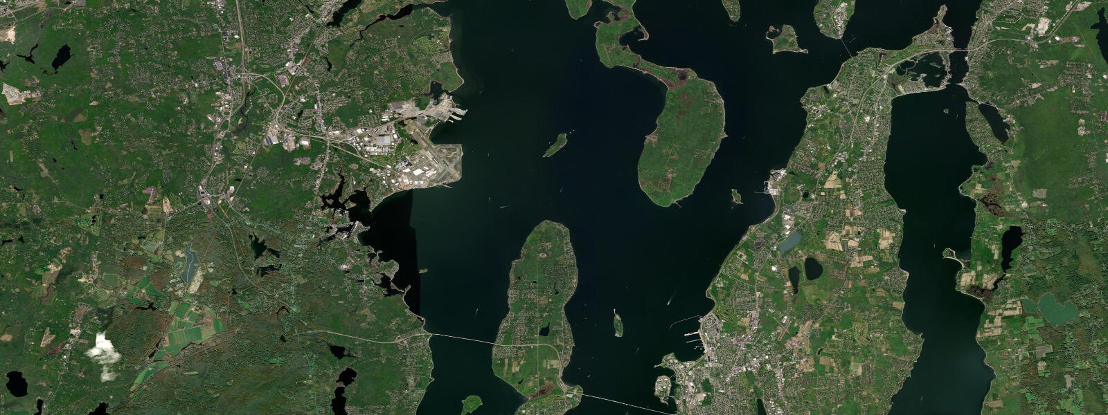
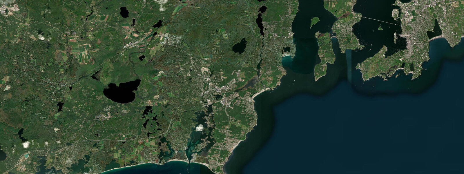
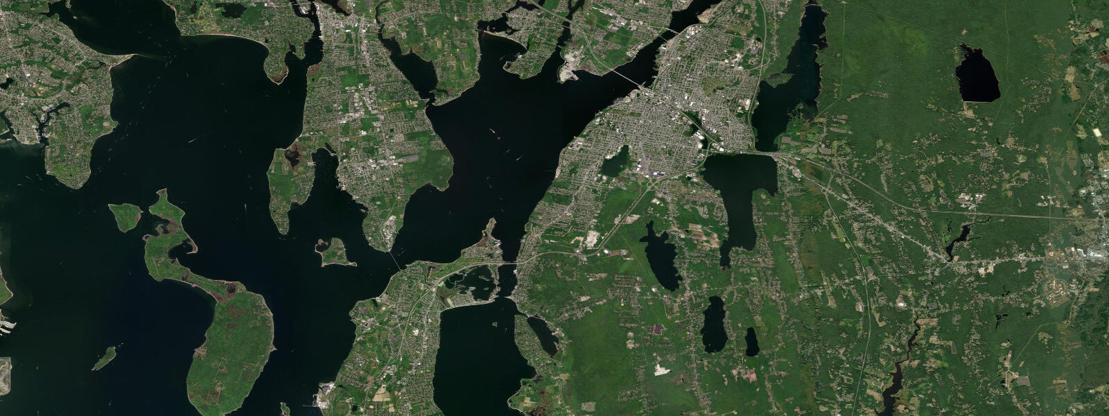
Newport sits at the south-eastern corner of Aquidneck Island in Rhode Island, where the East and West Passages of Narragansett Bay open south to Block Island Sound and the open Atlantic, with Brenton Reef at the entrance marking the offshore approach the working pilots watch on every transit. The city is the historical sailing capital of America — the New York Yacht Club moved its summer station here in 1881, the America's Cup defended out of the Newport Yacht Club from 1930 to 1983 across twenty-three consecutive matches, and the modern Newport-Bermuda Race fleet stages from here every other June for the 1,170-kilometre run south to St David's Lighthouse. 1 metres, with two highs and two lows of comparable size about twelve and a half hours apart.
8. Inside the bay the range grows slightly toward Providence at the head, and the basin geometry concentrates currents through the narrow stretches between Conanicut Island (Jamestown) and Aquidneck — slack water through the Pell Bridge channel runs about an hour after the high or low at the Newport gauge. The cliff walk runs three and a half miles from Easton's Beach south past the Breakers (the Vanderbilt summer cottage that the Preservation Society maintains as a museum) to Bailey's Beach, with the rocky intertidal at the foot of the cliff opening up on the lowest spring lows.
Beavertail State Park on the Conanicut tip frames the bay entrance and the lighthouse there has marked the approach since 1749. The working fishing fleet at the Galilee port on the South County coast across the bay, the Block Island ferry crossing from Galilee or Point Judith, the swimming and surf at Easton's Beach (First Beach) and Sachuest Beach (Second Beach) on the seaward side of Aquidneck, and the rocky shore at Sakonnet Point on the Tiverton side all read the table for different windows. NOAA CO-OPS station 8452660 in Newport Harbor provides the harmonic predictions on this page; nor'easter and post-tropical surge events in autumn and winter can lift water levels well above predicted, and the Boston-area NWS office is the authoritative real-time source during those events.
Tide questions about Newport, RI
Quick answers to the most common questions about tide times, range, and water access at Newport, RI.
When is the next high tide at Newport?
The hero block shows the next high tide at the Newport reference gauge in local Eastern time. The 7-day table covers all daily highs and lows. Slack water through the Pell Bridge channel between Aquidneck and Conanicut runs about an hour after the high or low at the gauge — useful for sailors timing the bridge transit.
What's the typical tide range at Newport?
Mean range is about 1.1 metres at the harbour gauge — a moderate semidiurnal signal. Spring tides push close to 1.4 metres and neaps drop near 0.8. Two highs and two lows of comparable size about twelve and a half hours apart. Inside Narragansett Bay the range grows slightly toward Providence at the head as the basin geometry concentrates the propagating tide.
Where do these tide predictions come from?
NOAA CO-OPS station 8452660 in Newport Harbor. NOAA computes harmonic predictions through analysis of decades of measured water levels at the gauge — the gold-standard method for tide prediction in US waters and accurate to a few minutes and a few centimetres under normal weather conditions. See /methodology for the full explanation.
How does Newport's sailing-capital history shape the working tide calendar?
The America's Cup defence out of Newport from 1930 to 1983 made the city the centre of professional sailboat racing in North America and the modern infrastructure of the Newport Yacht Club, the IDA Lewis Yacht Club, and the working pilotage out of Newport Harbor still reflects that period. The Newport-Bermuda Race that runs from Newport south every other June is the second-oldest open-ocean yacht race in the world after the Sydney-Hobart, and the fleet stages on the spring-tide calendar to clear Brenton Reef on the favourable slack. The 12-Metre racing fleet that contested the Cup still sails out of Newport for the Twelve Metre World Championship every few years.
Is this safe to use for navigation?
No. For piloting in or out of Newport Harbor, transiting the East or West Passage of Narragansett Bay, or working the Block Island Sound approaches use NOAA's authoritative chart products, the official tide and current tables, and the Coast Guard Station Castle Hill notices. Block Island Sound and the bay entrance can run confused seas in nor'easter conditions and demand real-time forecasts.
30-day tide table — Newport, RI
Heights relative to MLLW. Predictions: NOAA CO-OPS station 8452660 — heights relative to MLLW.
| Day | Type | Time | Height |
|---|---|---|---|
| Sun 26 Jul | Low | 00:07 | 0.2m / 0.7ft |
| High | 06:24 | 0.9m / 2.9ft | |
| Low | 11:32 | 0.2m / 0.6ft | |
| High | 18:52 | 1.1m / 3.5ft | |
| Mon 27 Jul | Low | 00:47 | 0.2m / 0.6ft |
| High | 07:08 | 0.9m / 3.0ft | |
| Low | 12:19 | 0.1m / 0.5ft | |
| High | 19:31 | 1.1m / 3.6ft | |
| Tue 28 Jul | Low | 01:27 | 0.1m / 0.5ft |
| High | 07:47 | 1.0m / 3.2ft | |
| Low | 13:05 | 0.1m / 0.4ft | |
| High | 20:06 | 1.1m / 3.7ft | |
| Wed 29 Jul | Low | 02:07 | 0.1m / 0.3ft |
| High | 08:25 | 1.0m / 3.3ft | |
| Low | 13:50 | 0.1m / 0.3ft | |
| High | 20:41 | 1.2m / 3.8ft | |
| Thu 30 Jul | Low | 02:43 | 0.1m / 0.2ft |
| High | 09:02 | 1.0m / 3.4ft | |
| Low | 14:33 | 0.1m / 0.3ft | |
| High | 21:16 | 1.2m / 3.8ft | |
| Fri 31 Jul | Low | 03:15 | 0.0m / 0.1ft |
| High | 09:39 | 1.1m / 3.5ft | |
| Low | 15:14 | 0.1m / 0.2ft | |
| High | 21:52 | 1.2m / 3.8ft | |
| Sat 01 Aug | Low | 03:44 | 0.0m / 0.1ft |
| High | 10:18 | 1.1m / 3.6ft | |
| Low | 15:52 | 0.1m / 0.3ft | |
| High | 22:32 | 1.1m / 3.7ft | |
| Sun 02 Aug | Low | 04:13 | 0.0m / 0.1ft |
| High | 10:59 | 1.1m / 3.7ft | |
| Low | 16:31 | 0.1m / 0.3ft | |
| High | 23:16 | 1.1m / 3.6ft | |
| Mon 03 Aug | Low | 04:44 | 0.0m / 0.1ft |
| High | 11:44 | 1.1m / 3.7ft | |
| Low | 17:13 | 0.1m / 0.4ft | |
| Tue 04 Aug | High | 00:04 | 1.0m / 3.4ft |
| Low | 05:20 | 0.0m / 0.1ft | |
| High | 12:32 | 1.2m / 3.8ft | |
| Low | 18:01 | 0.2m / 0.6ft | |
| Wed 05 Aug | High | 00:56 | 1.0m / 3.3ft |
| Low | 06:04 | 0.1m / 0.2ft | |
| High | 13:24 | 1.2m / 3.9ft | |
| Low | 19:04 | 0.2m / 0.7ft | |
| Thu 06 Aug | High | 01:51 | 1.0m / 3.2ft |
| Low | 06:59 | 0.1m / 0.3ft | |
| High | 14:20 | 1.2m / 3.9ft | |
| Low | 20:33 | 0.2m / 0.8ft | |
| Fri 07 Aug | High | 02:50 | 1.0m / 3.1ft |
| Low | 08:04 | 0.1m / 0.3ft | |
| High | 15:23 | 1.2m / 3.9ft | |
| Low | 22:16 | 0.2m / 0.7ft | |
| Sat 08 Aug | High | 03:56 | 1.0m / 3.2ft |
| Low | 09:17 | 0.1m / 0.3ft | |
| High | 16:33 | 1.2m / 4.0ft | |
| Low | 23:24 | 0.2m / 0.5ft | |
| Sun 09 Aug | High | 05:06 | 1.0m / 3.3ft |
| Low | 10:30 | 0.1m / 0.2ft | |
| High | 17:42 | 1.3m / 4.2ft | |
| Mon 10 Aug | Low | 00:19 | 0.1m / 0.3ft |
| High | 06:10 | 1.1m / 3.6ft | |
| Low | 11:36 | 0.0m / 0.0ft | |
| High | 18:43 | 1.4m / 4.5ft | |
| Tue 11 Aug | Low | 01:09 | 0.0m / 0.1ft |
| High | 07:07 | 1.2m / 4.0ft | |
| Low | 12:36 | -0.0m / -0.1ft | |
| High | 19:36 | 1.4m / 4.6ft | |
| Wed 12 Aug | Low | 01:56 | 0.0m / 0.0ft |
| High | 08:00 | 1.3m / 4.3ft | |
| Low | 13:33 | -0.1m / -0.2ft | |
| High | 20:26 | 1.4m / 4.7ft | |
| Thu 13 Aug | Low | 02:39 | -0.0m / -0.1ft |
| High | 08:50 | 1.4m / 4.5ft | |
| Low | 14:28 | -0.1m / -0.2ft | |
| High | 21:14 | 1.4m / 4.6ft | |
| Fri 14 Aug | Low | 03:15 | -0.0m / -0.1ft |
| High | 09:38 | 1.4m / 4.5ft | |
| Low | 15:19 | -0.0m / -0.1ft | |
| High | 22:00 | 1.3m / 4.4ft | |
| Sat 15 Aug | Low | 03:47 | -0.0m / -0.1ft |
| High | 10:26 | 1.4m / 4.5ft | |
| Low | 16:05 | 0.0m / 0.1ft | |
| High | 22:46 | 1.2m / 4.1ft | |
| Sun 16 Aug | Low | 04:18 | 0.0m / 0.0ft |
| High | 11:15 | 1.3m / 4.3ft | |
| Low | 16:47 | 0.1m / 0.3ft | |
| High | 23:33 | 1.1m / 3.7ft | |
| Mon 17 Aug | Low | 04:49 | 0.1m / 0.2ft |
| High | 12:04 | 1.2m / 4.1ft | |
| Low | 17:30 | 0.2m / 0.6ft | |
| Tue 18 Aug | High | 00:21 | 1.0m / 3.4ft |
| Low | 05:25 | 0.1m / 0.4ft | |
| High | 12:53 | 1.2m / 3.8ft | |
| Low | 18:18 | 0.2m / 0.8ft | |
| Wed 19 Aug | High | 01:10 | 0.9m / 3.1ft |
| Low | 06:06 | 0.2m / 0.6ft | |
| High | 13:43 | 1.1m / 3.5ft | |
| Low | 19:20 | 0.3m / 1.0ft | |
| Thu 20 Aug | High | 02:00 | 0.9m / 2.8ft |
| Low | 06:56 | 0.2m / 0.8ft | |
| High | 14:34 | 1.0m / 3.3ft | |
| Low | 20:51 | 0.3m / 1.1ft | |
| Fri 21 Aug | High | 02:52 | 0.8m / 2.7ft |
| Low | 08:00 | 0.3m / 0.9ft | |
| High | 15:30 | 1.0m / 3.1ft | |
| Low | 22:08 | 0.3m / 1.1ft | |
| Sat 22 Aug | High | 03:50 | 0.8m / 2.6ft |
| Low | 09:14 | 0.3m / 0.9ft | |
| High | 16:34 | 0.9m / 3.1ft | |
| Low | 23:00 | 0.3m / 1.0ft | |
| Sun 23 Aug | High | 04:55 | 0.8m / 2.7ft |
| Low | 10:22 | 0.3m / 0.8ft | |
| High | 17:35 | 1.0m / 3.2ft | |
| Low | 23:42 | 0.3m / 0.8ft | |
| Mon 24 Aug | High | 05:51 | 0.9m / 2.9ft |
| Low | 11:18 | 0.2m / 0.7ft | |
| High | 18:22 | 1.0m / 3.4ft |