Narragansett, RI tide times
Narragansett, RI tide forecast — heights relative to MSL.
Today's tide times for Narragansett, RI
Tide times at Narragansett, RI on Friday, 19 June 2026: first low tide at 05:40am, first high tide at 11:39am, second low tide at 06:04pm, second high tide at 11:46pm. Sunrise 05:12am, sunset 08:22pm.
Tide chart for Narragansett, RI
24-hour cosine-interpolated curve around the present moment. Heights relative to MSL. Predictions: Predictions: Open-Meteo Marine (MeteoFrance SMOC, 0.08° grid).
Sun, moon and conditions on Fri 19 Jun
Snapshot at build time — refreshes daily. Sea state from Open-Meteo Marine.
Highs and lows next 7 days
Every predicted high and low for the next week, with the daily tidal coefficient (0–120; higher = bigger swing, > 95 means stronger currents).
Other spots nearby
The three closest curated TideTurtle locations to Narragansett, RI, measured by great-circle distance.
Today's solunar windows
Solunar tradition: major periods are the ≈3h windows around moon transit and opposition; minor are ≈2h around moonrise and moonset. Pair with the local tide stage and wind for the best read.
Cycle dates near Narragansett, RI
Last spring tide on Thu 18 Jun (range 1.1m / 3.6ft). Next neap on Wed 24 Jun.
Spring tides cluster around new and full moons (biggest swings). Neap tides land on quarter moons (smallest swings). See the spring tide and neap tide glossary entries for the why.
About tides at Narragansett, RI
A short guide to the coastline at Narragansett, RI — geography, sea state, and what the tide is actually doing under your feet.
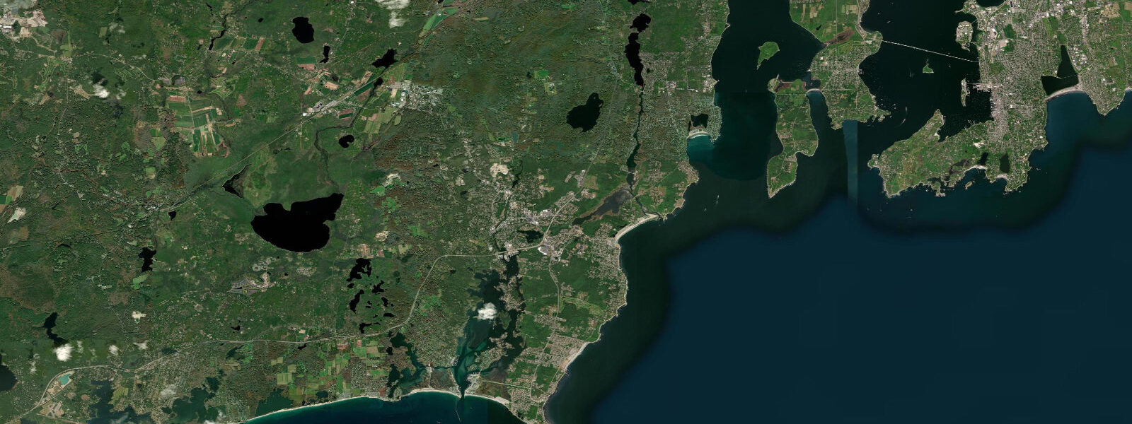
Narragansett Town Beach and the greater South County coast of Rhode Island sit on the open western shore of the Atlantic Ocean approach, sheltered from the north by the Narragansett Bay peninsula but exposed to south and southeast swells across the full Atlantic fetch. Mean spring range here runs around 1.2 metres — moderate for New England, enough to widen the beach significantly at low water but not the dramatic tidal range seen further north in Maine. The tidal rhythm is semidiurnal with two cycles per day.
Narragansett Town Beach is a classic New England surf beach — a long arc of sand flanked by rocky headlands, with the Narragansett Towers (the surviving arch of a resort casino complex built in 1883 and partly destroyed by fire in 1900) marking the northern end. The surf conditions are read closely by the South County surfing community, which regards the water off the beach and the rocks at Point Judith as some of the most consistent surf in Rhode Island. The tidal state at Narragansett affects wave quality: lower water tends to push the break onto the outer sandbars and produce steeper, faster waves; the mid-tide transition can produce clean peeling conditions on the outer bank.
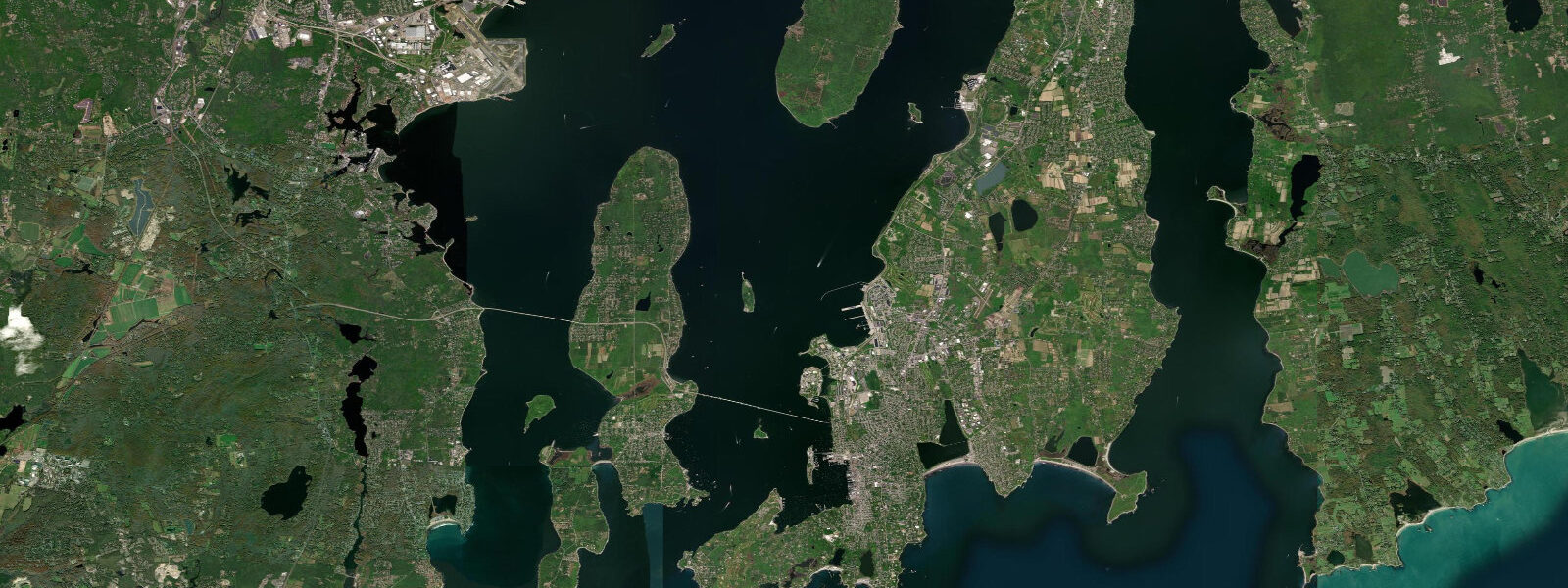
Point Judith, 5 kilometres south at the southern tip of the peninsula, is the harbour entrance for the Block Island ferry. The Point Judith Breachway — the tidal cut between Point Judith Pond and the ocean — runs a significant current on spring ebbs (1.5 to 2 knots) and is a traditional striped bass and bluefish fishing location. Anglers time the session to the last two hours of the ebb when the outgoing current pushes baitfish through the breachway. The ferry to Block Island (Interstate Navigation) runs from Galilee, the working fishing harbour on the west side of the Point.
Narrow River (Pettaquamscutt River) enters the ocean through a barrier beach north of Narragansett Town Beach and provides an entirely different coastal experience — a calm, slow tidal river running 6 kilometres inland through salt marsh and freshwater pond. Kayak launches from the upper reaches of Narrow River allow paddle-and-drift sessions on the ebb through the salt marsh to the barrier beach spit at the river mouth. The upper river is freshwater; the tidal influence extends about 3 kilometres upstream. Shorebirds, osprey, and occasional great blue heron work the tidal margins.
The rocky ledge at Black Point (Scarborough State Beach) and the Bonnet Shores area to the north provide tidal rock pool access at low water spring tides — the exposed ledge system holds green crabs, periwinkles, sea stars, and small fish in the shallow pools. The zone is accessible 2 hours either side of low water, returning coverage as the tide floods.
Predictions on this page come from Open-Meteo Marine, a gridded global ocean model. Accuracy is typically within plus or minus 45 minutes on timing and 0.2 to 0.3 metres on height — model-derived, not from a local gauge. For authoritative US tide data, consult NOAA CO-OPS at tidesandcurrents.noaa.gov.
Tide questions about Narragansett, RI
Quick answers to the most common questions about tide times, range, and water access at Narragansett, RI.
When is high tide at Narragansett?
The tide table on this page shows predicted times in Eastern Time. Narragansett runs semidiurnal with mean spring range around 1.2 metres. The nearest NOAA CO-OPS reference station is Newport, Rhode Island (station 8452660), 15 km to the north. Narragansett timing is very close to Newport; any offset is typically less than 10 minutes. Official predictions are available at NOAA CO-OPS.
How is surfing at Narragansett Town Beach?
Narragansett Town Beach receives consistent south and southeast swell that produces rideable waves year-round. Best conditions are south to SE groundswell at 1 to 2 metres with light NW or W wind (offshore). The summer months are smaller; autumn (September-November) produces the most consistent quality surf as tropical systems and NE storms generate longer-period swells. The tidal state matters: the outer sandbar breaks best at lower water states. Surfing is restricted to designated zones during summer lifeguard hours.
Can I kayak Narrow River?
Yes. Narrow River (Pettaquamscutt) is one of Rhode Island's best flatwater kayak destinations. The upper launch at Worden Pond or the kayak rental at the Narrow River Kayaks outfitter (Middlebridge Road) provides access. The downstream drift on the ebb from the upper tidal reach to the barrier beach spit takes 2 to 3 hours. The return against the incoming flood is a manageable paddle. Avoid the tidal cut at the river mouth in strong swell conditions — the breachway can have a surge effect. No motorized boats allowed above the town ramp.
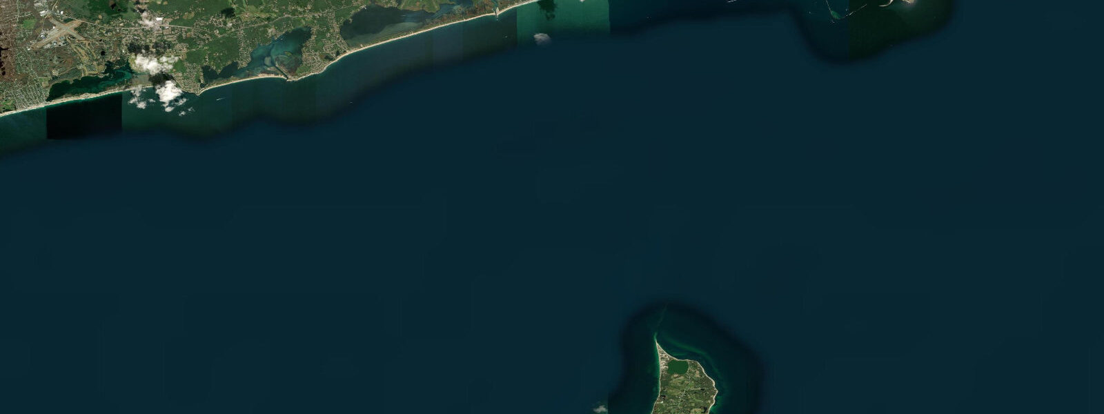
Where can I take the ferry to Block Island from?
Interstate Navigation (Block Island Ferry) runs from Galilee, Rhode Island (Point Judith) year-round. The traditional ferry takes about 1 hour 10 minutes. High-speed service takes 30 minutes in summer. Galilee is 5 km south of Narragansett Town Beach — follow Route 108 south to the Galilee Escape Road. Summer service is frequent (multiple crossings daily); autumn and winter schedules are reduced. Car and vehicle reservations should be made well in advance for summer. Walk-on passengers can usually board without reservations.
What wildlife can I see at Narragansett?
Osprey nest on platforms at the Narrow River salt marsh and can be seen diving for fish throughout the summer. Harbour and grey seals haul out on offshore rocks at Point Judith and Beavertail Point (Jamestown) in winter and spring — visible by binoculars from shore. Piping plovers and American oystercatchers nest on barrier beach spits along the South County coast in summer (nest areas fenced off). The tidal ledges at Black Point hold sea stars, green crabs, and tidepool fish at low water. Peregrine falcons use the shore ledges during autumn migration.
7-day tide table — Narragansett, RI
Heights relative to MSL. Predictions: Open-Meteo Marine (MeteoFrance SMOC, 0.08° grid) — heights relative to MSL (not chart datum / LAT). Model-derived.
| Day | Type | Time | Height |
|---|---|---|---|
| Fri 19 Jun | Low | 05:40 | -1.0m / -3.2ft |
| High | 11:39 | 0.1m / 0.4ft | |
| Low | 18:04 | -0.9m / -2.9ft | |
| High | 23:46 | 0.1m / 0.2ft | |
| Sat 20 Jun | Low | 06:42 | -1.0m / -3.3ft |
| High | 12:34 | 0.1m / 0.2ft | |
| Sun 21 Jun | Low | 07:43 | -1.0m / -3.2ft |
| High | 13:38 | 0.1m / 0.2ft | |
| Low | 20:34 | -0.8m / -2.7ft | |
| Mon 22 Jun | High | 01:46 | -0.1m / -0.3ft |
| Low | 08:34 | -0.9m / -3.0ft | |
| High | 14:45 | 0.1m / 0.3ft | |
| Low | 21:38 | -0.7m / -2.2ft | |
| Tue 23 Jun | High | 02:37 | -0.1m / -0.4ft |
| Low | 09:18 | -0.9m / -2.9ft | |
| High | 15:24 | 0.1m / 0.3ft | |
| Wed 24 Jun | Low | 10:00 | -0.9m / -3.0ft |
| High | 16:33 | 0.0m / 0.1ft | |
| Low | 23:13 | -0.9m / -2.9ft | |
| Thu 25 Jun | High | 04:43 | -0.2m / -0.8ft |
| Low | 10:50 | -0.9m / -2.9ft | |
| High | 17:16 | 0.0m / 0.1ft | |
| Low | 19:00 | -0.2m / -0.7ft |