Newport tide times
Newport tide forecast — heights relative to MSL.
Today's tide times for Newport
Tide times at Newport on Friday, 19 June 2026: first high tide at 02:57am, first low tide at 09:48am, second high tide at 04:32pm, second low tide at 10:13pm. Sunrise 05:30am, sunset 09:04pm.
Tide chart for Newport
24-hour cosine-interpolated curve around the present moment. Heights relative to MSL. Predictions: Predictions: Open-Meteo Marine (MeteoFrance SMOC, 0.08° grid).
Sun, moon and conditions on Fri 19 Jun
Snapshot at build time — refreshes daily. Sea state from Open-Meteo Marine.
Highs and lows next 7 days
Every predicted high and low for the next week, with the daily tidal coefficient (0–120; higher = bigger swing, > 95 means stronger currents).
Other spots nearby
The three closest curated TideTurtle locations to Newport, measured by great-circle distance.
Today's solunar windows
Solunar tradition: major periods are the ≈3h windows around moon transit and opposition; minor are ≈2h around moonrise and moonset. Pair with the local tide stage and wind for the best read.
Cycle dates near Newport
Last spring tide on Thu 18 Jun (range 2.8m / 9.2ft). Next spring tide on Wed 24 Jun (range 2.2m / 7.2ft). Next neap on Sun 21 Jun.
Spring tides cluster around new and full moons (biggest swings). Neap tides land on quarter moons (smallest swings). See the spring tide and neap tide glossary entries for the why.
About tides at Newport
A short guide to the coastline at Newport — geography, sea state, and what the tide is actually doing under your feet.
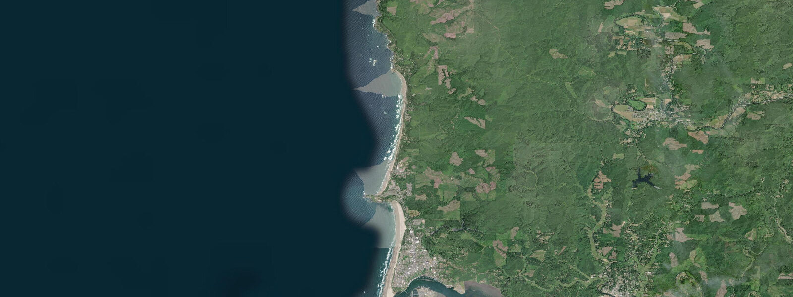
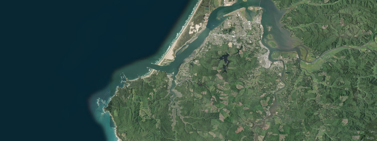
Newport is the largest city on the central Oregon coast and the home port of one of the biggest commercial fishing fleets on the Pacific Northwest. The Yaquina Bay gives the town its harbour access; the Yaquina Bay Bridge — a 1936 Art Deco steel arch — frames every view from the bayfront. Tidal range is mixed semidiurnal: mean range around 1.7 metres, spring highs reaching 2.4 m above MLLW and spring lows dropping to minus 0.5 m or lower.
The Yaquina Bay has strong tidal currents on the ebb and flood, particularly near the narrow entrance channel under the bridge. Fishing charter boats work their schedule around the tides — departing on the ebb to the offshore fishing grounds and returning on the flood. The bay mouth is treacherous in combined surf and ebb current conditions; the US Coast Guard station at Newport monitors the bar and can issue bar closures when conditions exceed safe thresholds.
The Newport bayfront is a working waterfront — trawlers unload Dungeness crab, albacore, and bottom fish alongside the tourist-facing restaurants and the Oregon Coast Aquarium. The aquarium houses Steller sea lions, sea otters, and a walking-through-sharks tube and is one of the better aquariums on the Pacific coast. The Hatfield Marine Science Center (Oregon State University) is adjacent and offers free public exhibits on Oregon ocean science.
For shore anglers, the south jetty at the Yaquina Bay entrance is the most productive public fishing structure in Newport. Perch, greenling, and rockfish concentrate around the jetty rocks year-round; Dungeness crab pots can be dropped off the jetty walls. The north jetty (across the bay from the south) is also productive but less accessible. Surfing is primarily at Agate Beach, 3 kilometres north of the bridge, where the open coast provides beach break on northwest swells.
Tide clamming for razor clams is occasionally open at the beaches south of Newport (Beverly Beach, Ona Beach) when ODFW issues approvals after domoic acid testing. Checking is worthwhile; seasons can close at short notice. Bay mussels are harvestable from the jetty rocks when open — the ODFW hotline (1-800-ASK-FISH) gives current status.
Predictions on this page come from Open-Meteo Marine, a gridded global ocean model. Accuracy is typically within plus or minus 45 minutes on timing and 0.2 to 0.3 metres on height — model-derived, not from a local gauge. For authoritative US tide data, consult NOAA CO-OPS at tidesandcurrents.noaa.gov.
Tide questions about Newport
Quick answers to the most common questions about tide times, range, and water access at Newport.
Is it safe to cross the Yaquina Bay bar in a small boat?
The Yaquina Bay bar is one of the more challenging bar crossings on the Oregon coast. The US Coast Guard at Newport monitors conditions and issues bar closure advisories when seas exceed safe thresholds. Check the recorded bar condition report (1-800-NEP-TIDE or VHF Channel 16) before departing. Cross on the flood tide — ebb current against swells is the primary hazard. The worst conditions occur in winter storms with northwest swells above 12 feet and strong ebb current.
Where can I fish from shore in Newport?
The south jetty at Yaquina Bay entrance is the best shore fishing location — park at the south jetty road end and walk the jetty for rockfish, greenling, and perch. Crab pots can be lowered off the jetty walls. The Yaquina Bay bridge area has limited access but occasional bank fishing for perch. Agate Beach to the north has surf fishing for perch and the occasional rockfish from the rocks. A Oregon combined angling license is required for shore fishing.
Is the Oregon Coast Aquarium worth visiting?
The Oregon Coast Aquarium in Newport consistently ranks among the best marine science exhibits on the US west coast. It has a fully immersive shark tube (walk-through tank), sea otter exhibit, Steller sea lions, jellies, and the remarkable Passages of the Deep exhibit. Plan 3 to 4 hours for a complete visit. Tickets sell out on summer weekends — book online. The adjacent Hatfield Marine Science Center (OSU) has free exhibits on Oregon fisheries, climate, and ocean monitoring.
When can I harvest Dungeness crab near Newport?
Recreational Dungeness crab season in Newport's coastal waters typically runs year-round from the bay and jetties, with the best catches from November through August. The open coast season (surfside pots) is regulated separately. A Oregon shellfish license (part of the combination angling license) is required. Check current ODFW regulations for daily limits (typically 12 crab, minimum 5.75-inch carapace width). The ODFW hotline (1-800-ASK-FISH) has the most current season status.
What is Agate Beach?
Agate Beach is a 3-km stretch of open Pacific beach 3 km north of Newport on US-101, known historically for agates and jasper tumbled from the basalt cliffs along the central coast. Agate hunting is best after winter storms when fresh material is deposited on the beach. The best time to look is at low tide when the swash zone exposes new material. The beach also has consistent beach break surf on northwest swell — the most accessible surfing from Newport. Parking is at the Agate Beach State Recreation Site.
7-day tide table — Newport
Heights relative to MSL. Predictions: Open-Meteo Marine (MeteoFrance SMOC, 0.08° grid) — heights relative to MSL (not chart datum / LAT). Model-derived.
| Day | Type | Time | Height |
|---|---|---|---|
| Fri 19 Jun | High | 02:57 | 1.2m / 3.9ft |
| Low | 09:48 | -1.6m / -5.3ft | |
| High | 16:32 | 1.0m / 3.4ft | |
| Low | 22:13 | -0.5m / -1.6ft | |
| Sat 20 Jun | High | 03:56 | 1.0m / 3.1ft |
| Low | 10:36 | -1.4m / -4.4ft | |
| High | 17:20 | 1.0m / 3.4ft | |
| Low | 23:24 | -0.6m / -1.9ft | |
| Sun 21 Jun | High | 05:01 | 0.6m / 2.1ft |
| Low | 11:21 | -1.1m / -3.6ft | |
| High | 18:08 | 1.0m / 3.4ft | |
| Mon 22 Jun | Low | 00:36 | -0.7m / -2.4ft |
| High | 06:18 | 0.4m / 1.3ft | |
| Low | 12:10 | -0.8m / -2.7ft | |
| High | 18:55 | 1.0m / 3.4ft | |
| Tue 23 Jun | Low | 01:44 | -0.9m / -2.8ft |
| High | 07:42 | 0.3m / 0.9ft | |
| Low | 13:03 | -0.6m / -1.9ft | |
| High | 19:41 | 1.0m / 3.2ft | |
| Wed 24 Jun | Low | 02:44 | -1.1m / -3.5ft |
| High | 09:04 | 0.2m / 0.8ft | |
| Low | 14:00 | -0.4m / -1.4ft | |
| High | 20:26 | 1.0m / 3.2ft | |
| Thu 25 Jun | Low | 03:36 | -1.2m / -4.0ft |
| High | 10:14 | 0.3m / 1.1ft | |
| Low | 14:57 | -0.3m / -0.8ft |