Sag Harbor, NY tide times
Sag Harbor, NY tide forecast — heights relative to MSL.
Today's tide times for Sag Harbor, NY
Tide times at Sag Harbor, NY on Friday, 19 June 2026: first low tide at 04:43am, first high tide at 11:08am, second low tide at 05:03pm, second high tide at 11:12pm. Sunrise 05:16am, sunset 08:24pm.
Tide chart for Sag Harbor, NY
24-hour cosine-interpolated curve around the present moment. Heights relative to MSL. Predictions: Predictions: Open-Meteo Marine (MeteoFrance SMOC, 0.08° grid).
Sun, moon and conditions on Fri 19 Jun
Snapshot at build time — refreshes daily. Sea state from Open-Meteo Marine.
Highs and lows next 7 days
Every predicted high and low for the next week, with the daily tidal coefficient (0–120; higher = bigger swing, > 95 means stronger currents).
Other spots nearby
The three closest curated TideTurtle locations to Sag Harbor, NY, measured by great-circle distance.

Today's solunar windows
Solunar tradition: major periods are the ≈3h windows around moon transit and opposition; minor are ≈2h around moonrise and moonset. Pair with the local tide stage and wind for the best read.
Cycle dates near Sag Harbor, NY
Next spring tide on Fri 19 Jun (range 1.0m / 3.4ft). Next neap on Wed 24 Jun.
Spring tides cluster around new and full moons (biggest swings). Neap tides land on quarter moons (smallest swings). See the spring tide and neap tide glossary entries for the why.
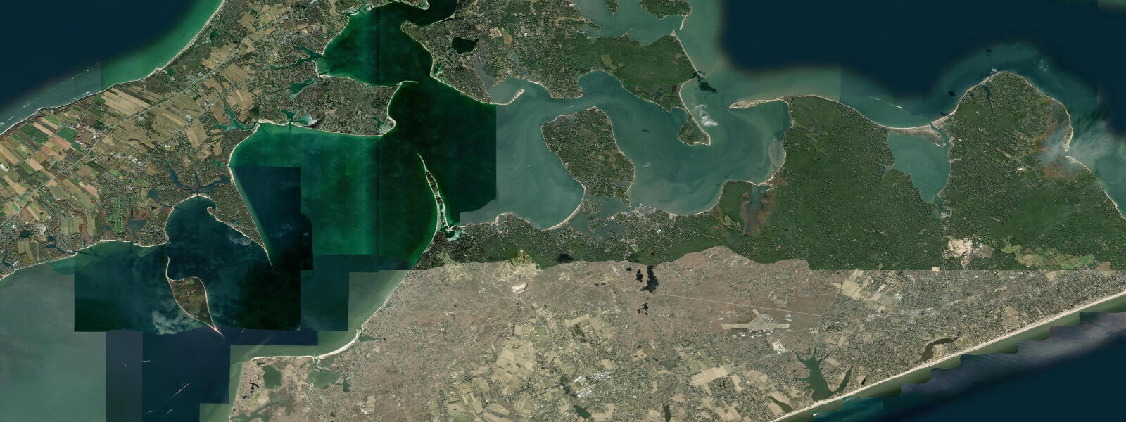
About tides at Sag Harbor, NY
A short guide to the coastline at Sag Harbor, NY — geography, sea state, and what the tide is actually doing under your feet.
Sag Harbor sits in a sheltered cove on the Peconic Bay side of the South Fork, where the tidal signal is markedly different from the open-Atlantic Montauk coast ten kilometres to the east. Peconic Bay is a shallow back-bay system connected to Block Island Sound through Gardiners Bay, and by the time the tidal wave works its way through that indirect path, the range inside Sag Harbor has been reduced to around 0.8 metres mean spring — roughly half what you'd see off the open Long Island ocean shore. The two daily tidal cycles still arrive predictably, but the change in water level is gentle enough that local boaters rarely need to plan arrivals around the tide state except on the shallowest approaches.
The sheltered character of the harbour is not an accident of modern development. Sag Harbor was a major American whaling port in the late 18th and early 19th centuries — at its peak in the 1840s, the harbour was home to more than 60 whaling vessels, and ships returning from three-year Pacific voyages anchored in the protected water off the Customs House on Main Street. The deep whaling heritage is embedded in the town's architecture and in the Sag Harbor Whaling and Historical Museum on Main Street, which holds artefacts from the Pacific trade. The whaling era ended as petroleum replaced whale oil, but the harbour character — quiet, sheltered, accesible from the bay rather than the open sea — remains.
Havens Beach, on the north side of the harbour cove, is the main family swimming and kayak-launching area. The beach faces the protected bay rather than the Atlantic, so swell is negligible and tidal variation is the dominant driver of water-level change. At low tide the foreshore extends 30 to 40 metres beyond the mean high-water line, revealing firm sand useful for beach games and tidal pool exploration among the small estuarine invertebrates. The calm water makes Havens Beach a reliable launch for paddlers heading into the Shelter Island Sound system or south toward North Haven.
North Haven Peninsula and the Mashomack Nature Preserve on Shelter Island form the northern and eastern boundaries of the inner estuary. Mashomack is a 2,039-acre Nature Conservancy preserve encompassing salt marshes, tidal creeks, and oak woodland — one of the largest intact natural areas on Long Island. The preserve's tidal creeks are navigable by kayak on the flood, and the salt marsh restoration work there has strengthened the invertebrate base that supports migrating shorebirds in late summer.
Sag Harbor's active marina handles recreational sailing and power boating for the Hamptons summer population. The Bar — a shallow sand ridge running roughly east-west across the harbor entrance — has a controlling depth of about 1.8 metres at mean low water, meaning deeper-draft sailboats time their arrivals around mid-tide or above. Local knowledge of the Bar's precise position is valuable; NOAA charts should be cross-referenced.
Predictions on this page come from Open-Meteo Marine, a gridded global ocean model. Accuracy is typically within plus or minus 45 minutes on timing and 0.2 to 0.3 metres on height — model-derived, not from a local gauge. For authoritative US tide data, consult NOAA CO-OPS at tidesandcurrents.noaa.gov.
Tide questions about Sag Harbor, NY
Quick answers to the most common questions about tide times, range, and water access at Sag Harbor, NY.
When is high tide at Sag Harbor?
The tide times shown on this page are in Eastern Time (EST winter UTC-5, EDT summer UTC-4). Sag Harbor runs two tidal cycles per day, but the sheltered Peconic Bay location means the tidal timing lags the open-ocean reference stations by 1 to 2 hours. Predictions come from Open-Meteo Marine gridded model. For precise tidal offsets relative to NOAA reference stations, consult the NOAA CO-OPS tide prediction tool using the Sag Harbor subordinate station.
Why is the tidal range at Sag Harbor smaller than the ocean beaches?
Peconic Bay is connected to the open Atlantic via Gardiners Bay and the eastern Sound entrance — an indirect, shallow path that attenuates the tidal wave. By the time the tide works through the bay system to Sag Harbor Cove, the mean spring range is around 0.8 metres, compared to 1.2 to 1.5 metres at Montauk on the open shore. This back-bay damping is common on the eastern Long Island coast; similar reductions occur throughout Peconic Bay and Shinnecock Bay.
Can I kayak from Sag Harbor to Shelter Island?
Yes. The crossing from Havens Beach to North Haven and then on to Shelter Island ferry routes is a well-travelled day kayak route. The total paddle to Mashomack Preserve landing is roughly 4 kilometres one way across calm bay water — manageable for intermediate paddlers. Check wind forecasts (easterly or westerly bay winds can build chop quickly on flat water) and be aware of ferry traffic in the Shelter Island channel. Tidal current in the outer bay is generally mild but picks up in the ferry channel narrows.
Is there fishing from Sag Harbor?
Yes. The harbour cove and the flats around North Haven hold flounder (winter flounder, Pseudopleuronectes americanus) in cooler months, and striped bass move through the outer harbour on tide changes in spring and autumn. Snapper blues (juvenile bluefish) enter the harbour in summer and can be taken from the dock at Haven's Beach on light tackle. The tidal creek systems draining into the Peconic from the north shore of North Haven hold weakfish (seatrout) and occasional red drum in warmer months.
Is this tide data safe for boat navigation in Sag Harbor?
No. Open-Meteo Marine gridded predictions are not a substitute for NOAA chart-based navigation or NOAA harmonic tide predictions. The Bar at the Sag Harbor entrance has a controlling depth of approximately 1.8 metres MLLW — shallow enough that keelboat operators must time entry around the tide state. Consult NOAA Chart 12358 and the NOAA Tides and Currents predictions for Sag Harbor for any navigation purpose.
7-day tide table — Sag Harbor, NY
Heights relative to MSL. Predictions: Open-Meteo Marine (MeteoFrance SMOC, 0.08° grid) — heights relative to MSL (not chart datum / LAT). Model-derived.
| Day | Type | Time | Height |
|---|---|---|---|
| Fri 19 Jun | Low | 04:43 | -1.0m / -3.3ft |
| High | 11:08 | 0.0m / 0.1ft | |
| Low | 17:03 | -0.8m / -2.8ft | |
| High | 23:12 | 0.0m / 0.1ft | |
| Sat 20 Jun | Low | 05:47 | -1.0m / -3.3ft |
| High | 12:10 | -0.0m / -0.1ft | |
| Low | 18:10 | -0.8m / -2.6ft | |
| Sun 21 Jun | High | 00:07 | -0.1m / -0.2ft |
| Low | 06:40 | -1.0m / -3.2ft | |
| High | 13:07 | -0.0m / -0.2ft | |
| Low | 19:20 | -0.8m / -2.5ft | |
| Mon 22 Jun | High | 01:04 | -0.1m / -0.4ft |
| Low | 07:21 | -0.9m / -3.0ft | |
| High | 14:20 | 0.0m / 0.1ft | |
| Low | 20:37 | -0.6m / -2.1ft | |
| Tue 23 Jun | High | 01:50 | -0.1m / -0.5ft |
| Low | 08:15 | -0.9m / -3.0ft | |
| High | 15:00 | -0.0m / -0.1ft | |
| Low | 21:45 | -0.8m / -2.5ft | |
| Wed 24 Jun | High | 02:54 | -0.3m / -0.9ft |
| Low | 09:00 | -0.9m / -3.1ft | |
| High | 16:04 | -0.1m / -0.3ft | |
| Low | 22:36 | -0.8m / -2.7ft | |
| Thu 25 Jun | High | 04:00 | -0.3m / -1.0ft |
| Low | 09:42 | -0.9m / -3.0ft | |
| High | 16:47 | -0.1m / -0.2ft | |
| Low | 19:00 | -0.3m / -0.9ft |