Montauk, NY tide times
Montauk, NY tide forecast — heights relative to MSL.
Today's tide times for Montauk, NY
Tide times at Montauk, NY on Friday, 19 June 2026: first low tide at 05:00am, first high tide at 11:23am, second low tide at 05:15pm, second high tide at 11:24pm. Sunrise 05:15am, sunset 08:22pm.
Tide chart for Montauk, NY
24-hour cosine-interpolated curve around the present moment. Heights relative to MSL. Predictions: Predictions: Open-Meteo Marine (MeteoFrance SMOC, 0.08° grid).
Sun, moon and conditions on Fri 19 Jun
Snapshot at build time — refreshes daily. Sea state from Open-Meteo Marine.
Highs and lows next 7 days
Every predicted high and low for the next week, with the daily tidal coefficient (0–120; higher = bigger swing, > 95 means stronger currents).
Other spots nearby
The three closest curated TideTurtle locations to Montauk, NY, measured by great-circle distance.
Today's solunar windows
Solunar tradition: major periods are the ≈3h windows around moon transit and opposition; minor are ≈2h around moonrise and moonset. Pair with the local tide stage and wind for the best read.
Cycle dates near Montauk, NY
Last spring tide on Thu 18 Jun (range 0.9m / 3.1ft). Next neap on Tue 23 Jun.
Spring tides cluster around new and full moons (biggest swings). Neap tides land on quarter moons (smallest swings). See the spring tide and neap tide glossary entries for the why.
About tides at Montauk, NY
A short guide to the coastline at Montauk, NY — geography, sea state, and what the tide is actually doing under your feet.
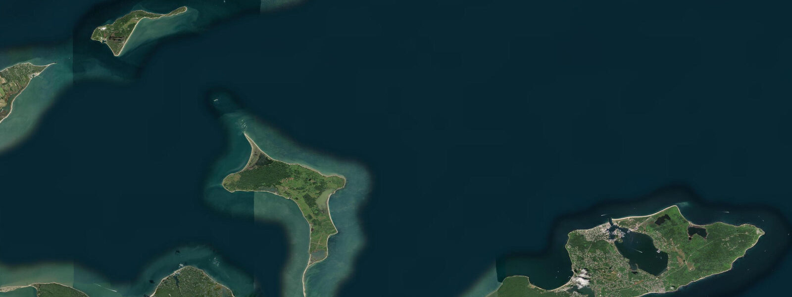
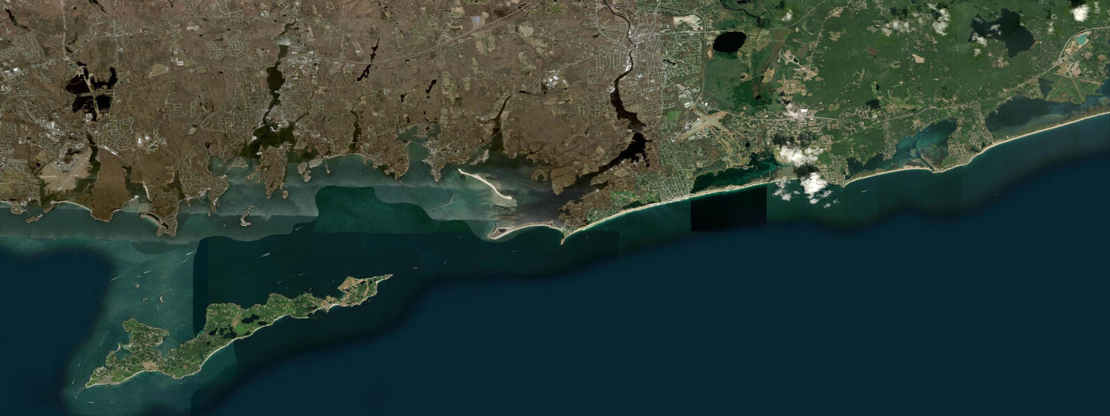
Montauk sits at the eastern tip of Long Island, where the South Fork narrows to a drumlin headland jutting into the convergence of Block Island Sound and the Atlantic. The tidal regime here is mixed semidiurnal — two high and two low tides per day, with the two highs frequently of different heights. Mean spring range at Montauk Point runs around 1.5 metres, modest by global standards but enough to expose and submerge a significant intertidal zone on the rocky ledges below the lighthouse bluff.
Montauk Point Lighthouse, built in 1796 under orders from President George Washington, stands 37 metres above the water and marks the easternmost boundary of New York State waters. At low water spring tides, the basalt and glacial erratics below the lighthouse bluff are accessible on foot, and fishers have worked those ledges for striped bass and bluefish since before the colonial era. The current off the Point is driven partly by the tide and partly by the Long Island current — a coastal drift running west that concentrates baitfish on the tide rips east of the headland. Shore casters time sessions to the first two hours of the flood, when bass move into the shallower ledge water from the deeper Block Island Sound approach.
Montauk Harbor, inside Fort Pond Bay on the north side of the tip, is one of the most productive commercial and sport-fishing ports on the East Coast. The commercial fleet targets tuna, swordfish, and sea scallops offshore; the charter fleet runs bluefish and striped bass trips inshore. The harbor's tidal exchange is less pronounced than the open Point — the bay mouth is wide and the range inside runs close to the outer tide. Block Island is 20 kilometres northeast; the ferry from Montauk to Block Island crosses Block Island Sound in roughly an hour.
The Montauk surfing tradition is built on the south-facing ocean beaches — Ditch Plains, Kirk Park, downtown beach — where south and east swells arrive with minimal obstruction from the continental shelf. The tidal state modifies break character at Ditch Plains significantly: lower water tends to produce steeper, more critical waves over the reef sections; higher water fills in and softens the break. Surf anglers work the Montauk beaches in the early morning and evening, timing their casts to the outgoing tide when the rip at the beach ends concentrates fish.
Kayakers launching from Fort Pond Bay can paddle the north shore of the tip toward the Point on calm days, passing Shagwong Point and the rocky coves that hold schoolie stripers on the incoming tide. The full circumnavigation of the Point in open water is an advanced undertaking given the tidal races and irregular swell refraction; most paddlers stay inside the Sound.
The South Fork's Accabonac Harbor, Napeague Harbor, and Gardiner's Bay to the west offer quieter sheltered water with gentle tidal flow — suitable for beginners and families, with a distinct ecology from the exposed Point. Hither Hills State Park's freshwater ponds drain to the ocean through a narrow beach cut that migrates with storms.
Predictions on this page come from Open-Meteo Marine, a gridded global ocean model. Accuracy is typically within plus or minus 45 minutes on timing and 0.2 to 0.3 metres on height — model-derived, not from a local gauge. For authoritative US tide data, consult NOAA CO-OPS at tidesandcurrents.noaa.gov.
Tide questions about Montauk, NY
Quick answers to the most common questions about tide times, range, and water access at Montauk, NY.
When is the next high tide at Montauk?
The tide table at the top of this page shows the next predicted high in local Eastern Time (EST winter UTC-5, EDT summer UTC-4). Montauk runs mixed semidiurnal — two high and two low tides per day, with the highs often of unequal height. The cycle shifts about 50 minutes later each day through the lunar month. Predictions come from Open-Meteo Marine; for authoritative NOAA harmonic data, the nearest reference station is Montauk at NOAA CO-OPS.
What is the tidal range at Montauk?
Mean spring range at Montauk Point runs around 1.5 metres — two high-low cycles per day with roughly 0.75 metres of change on a typical spring tide. Neap range compresses to around 0.5 metres. The range at Montauk is moderate compared to the New England coast further north (Boston sees over 3 metres mean springs) because Long Island Sound and the outer Atlantic produce competing tidal signals that partially cancel at this location. The irregular bathymetry off the Point can accelerate surface currents to 2 knots on spring ebbs.
What is the best fishing tide at Montauk?
The first two hours of the incoming tide (flood) is the traditional high-productivity window at Montauk Point for striped bass and bluefish — baitfish concentrate on the tide rips off the headland as the current reverses and flows west. The slack period around high water is generally less productive for casting from shore; the last hour of the ebb can be good at Ditch Plains beach and Caswell's. Charter boats work the tide rips and canyon edges on different schedules — your captain will advise on the day.
Is swimming safe at Montauk beaches?
The ocean beaches at Montauk (Ditch Plains, downtown beach, Kirk Park) are patrolled in summer by lifeguards who monitor rip current conditions. The tidal state affects rip intensity: outgoing tide strengthens beach exit currents, particularly at beach ends where longshore drift is deflected by jetties. Fort Pond Bay on the north side is calmer and more family-friendly, sheltered from the open Atlantic swell. Swimmers should check lifeguard flags and consult posted beach hazard signs before entering — conditions vary significantly with swell direction and tidal state.
Is this tide data safe to use for navigation?
No. Open-Meteo Marine gridded predictions are not calibrated harmonic data and should not be used for vessel navigation or any safety-critical coastal operation. The tidal races and current reversals off Montauk Point are hazardous to small craft. For navigation in Block Island Sound, the NOAA Chart 13209 and the NOAA tide predictions for Montauk (station reference) are the correct sources. Consult the NOAA Coast Pilot Volume 2 for current passage guidance around Montauk Point.
7-day tide table — Montauk, NY
Heights relative to MSL. Predictions: Open-Meteo Marine (MeteoFrance SMOC, 0.08° grid) — heights relative to MSL (not chart datum / LAT). Model-derived.
| Day | Type | Time | Height |
|---|---|---|---|
| Fri 19 Jun | Low | 05:00 | -0.9m / -3.1ft |
| High | 11:23 | -0.0m / -0.0ft | |
| Low | 17:15 | -0.8m / -2.7ft | |
| High | 23:24 | -0.0m / -0.0ft | |
| Sat 20 Jun | Low | 06:00 | -0.9m / -3.1ft |
| High | 12:22 | -0.0m / -0.1ft | |
| Sun 21 Jun | Low | 06:50 | -0.9m / -3.0ft |
| High | 13:21 | -0.1m / -0.2ft | |
| Low | 19:54 | -0.7m / -2.4ft | |
| Mon 22 Jun | High | 14:45 | 0.0m / 0.0ft |
| Low | 21:06 | -0.6m / -1.9ft | |
| Tue 23 Jun | High | 02:00 | -0.2m / -0.5ft |
| Low | 08:20 | -0.8m / -2.8ft | |
| Wed 24 Jun | High | 03:00 | -0.3m / -1.0ft |
| Low | 09:15 | -0.9m / -2.9ft | |
| Thu 25 Jun | High | 04:15 | -0.3m / -1.0ft |
| Low | 09:45 | -0.9m / -2.8ft | |
| High | 17:10 | -0.1m / -0.2ft | |
| Low | 19:00 | -0.2m / -0.8ft |