Nantucket, MA tide times
Nantucket, MA tide forecast — heights relative to MSL.
Today's tide times for Nantucket, MA
Tide times at Nantucket, MA on Friday, 19 June 2026: first low tide at 06:42pm, first high tide at 11:50pm. Sunrise 05:07am, sunset 08:16pm.
Tide chart for Nantucket, MA
24-hour cosine-interpolated curve around the present moment. Heights relative to MSL. Predictions: Predictions: Open-Meteo Marine (MeteoFrance SMOC, 0.08° grid).
Sun, moon and conditions on Fri 19 Jun
Snapshot at build time — refreshes daily. Sea state from Open-Meteo Marine.
Highs and lows next 7 days
Every predicted high and low for the next week, with the daily tidal coefficient (0–120; higher = bigger swing, > 95 means stronger currents).
Other spots nearby
The three closest curated TideTurtle locations to Nantucket, MA, measured by great-circle distance.
Today's solunar windows
Solunar tradition: major periods are the ≈3h windows around moon transit and opposition; minor are ≈2h around moonrise and moonset. Pair with the local tide stage and wind for the best read.
Cycle dates near Nantucket, MA
Next spring tide on Sat 20 Jun (range 0.6m / 1.9ft). Next neap on Fri 19 Jun.
Spring tides cluster around new and full moons (biggest swings). Neap tides land on quarter moons (smallest swings). See the spring tide and neap tide glossary entries for the why.
About tides at Nantucket, MA
A short guide to the coastline at Nantucket, MA — geography, sea state, and what the tide is actually doing under your feet.
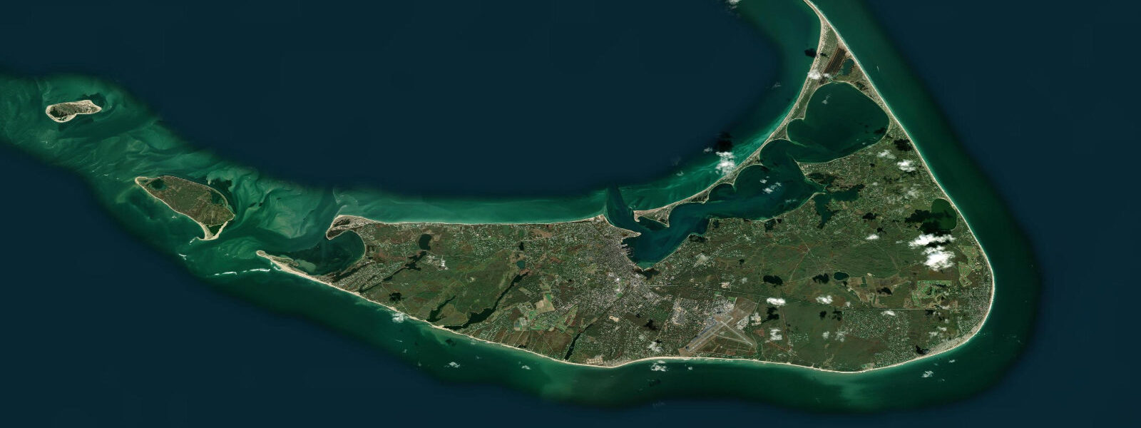
Nantucket sits 48 kilometres south of Hyannis across Nantucket Sound, a shallow shoal-filled body of water that has claimed hundreds of vessels over four centuries of commercial maritime traffic. The island itself is a glacial outwash deposit — flat, sandy, and relatively low-lying — with the tidal regime that comes with open Atlantic exposure filtered through the Sound's geometry. Mean spring range at Nantucket Town pier runs close to 1.0 metre, making it a moderate-energy microtidal environment compared to the larger ranges of the Gulf of Maine just to the north.
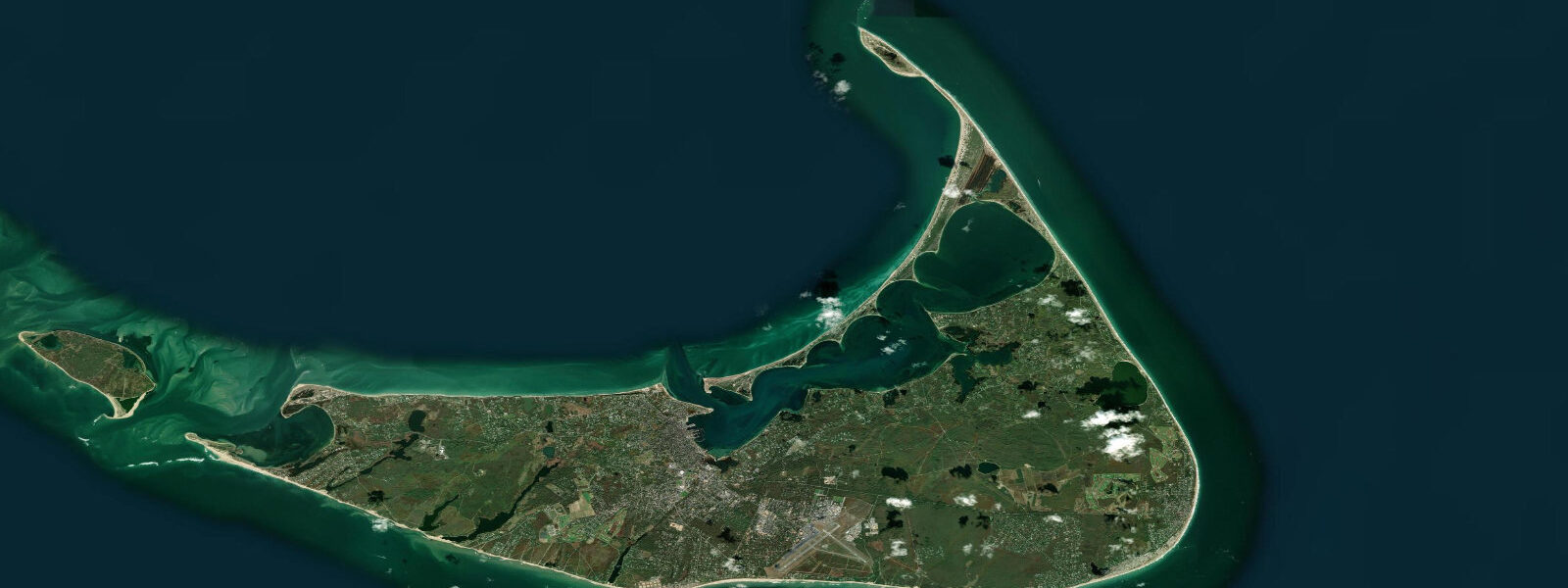
The two daily tidal cycles arrive in a semidiurnal pattern with some diurnal inequality — the two daily highs are frequently of slightly different heights. The predictable alternation between high and low drives the tidal currents through Nantucket Sound and through the Inlet channels flanking the island. Nantucket Inlet on the west side of the harbour is the main tidal exchange point for the Great Harbor, and the current through the inlet is noticeable on spring tides, running to around 1.5 knots at peak flow.
Nantucket's history is dominated by the whale fishery. In the 18th century, Nantucket whalers were among the first to hunt sperm whales in the Pacific Ocean, and the Nantucket Whaling Museum on Broad Street holds one of the most significant collections of whaling-era artefacts in the world, including a 46-foot sperm whale skeleton. Herman Melville based Ishmael's voyage on Nantucket whaling practice. The grey-shingled architecture of the town and the warren of lanes leading to the harbour front reflect the prosperity of that era.
Brant Point Light, the smallest of the US lighthouse towers (only 10 metres tall) and the second-oldest lighthouse site in the country, marks the east side of the Nantucket Harbour entrance. The tradition of throwing coins from the ferry railing as Brant Point passes is widely observed among returning visitors — a superstition for ensuring a return trip.
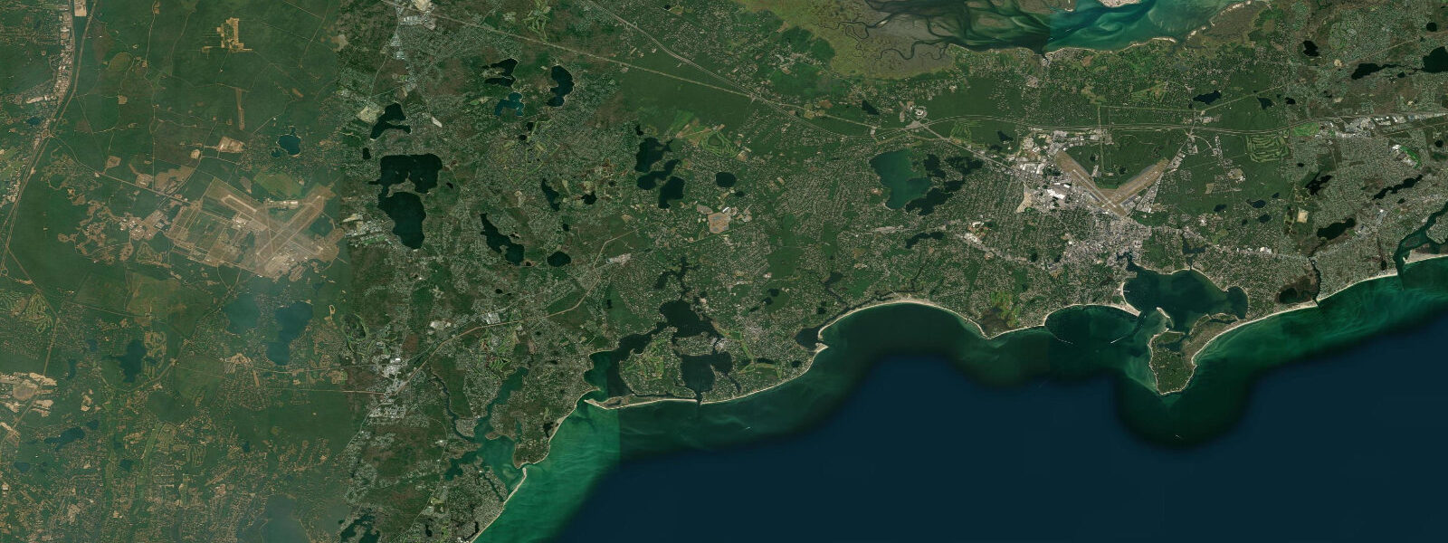
The ocean beaches on the south shore — Surfside Beach, Madaket Beach, Cisco Beach — face the open Atlantic and receive the South Atlantic swell with energy that the Sound-facing harbour shores don't see. Cisco and Madaket in particular are popular surf spots in autumn when NE and E ground swells wrap around the island's western end. The tidal state at these beaches affects the break character: lower water tends to expose more of the sand bar system and steepen the waves; higher water tends to produce longer-period waves over the underwater bar.
Great Point at the north tip of the island, accessible only by 4WD on a beach permit, is one of the most productive shore-fishing spots in the northeast US. The rip off Great Point — where the Sound and the open Atlantic interact — concentrates baitfish and predators alike; striped bass and bluefish are taken here from April through November. The lighthouse at Great Point was rebuilt in 1986 after the original was lost to a 1984 storm.
Predictions on this page come from Open-Meteo Marine, a gridded global ocean model. Accuracy is typically within plus or minus 45 minutes on timing and 0.2 to 0.3 metres on height — model-derived, not from a local gauge. For authoritative US tide data, consult NOAA CO-OPS at tidesandcurrents.noaa.gov.
Tide questions about Nantucket, MA
Quick answers to the most common questions about tide times, range, and water access at Nantucket, MA.
When is high tide at Nantucket?
The tide table on this page shows predicted times in Eastern Time (EST UTC-5, EDT UTC-4 in summer). Nantucket runs two tidal cycles per day with mean spring range around 1.0 metre. The timing at Nantucket Harbour runs roughly 1 to 2 hours later than the open-ocean reference at Newport, Rhode Island, because the Sound modifies the wave's arrival. Predictions come from Open-Meteo Marine; NOAA CO-OPS publishes the official harmonic predictions for Nantucket Inlet.
How do I get to Nantucket?
The Steamship Authority runs year-round car and passenger ferries from Hyannis (2 hours 15 minutes standard, 1 hour on the high-speed ferry). Hy-Line Cruises runs high-speed passenger ferries from Hyannis (1 hour). Seasonal service runs from Harwich Port, New Bedford, and other Cape and mainland ports. Vehicle reservations should be made well in advance in summer. The ferry approaches through Nantucket Sound are managed by the Steamship Authority captains who work the tides and current through the shoal channels — passengers often notice the course corrections.
What are the best beaches on Nantucket?
Surfside Beach on the south shore is the most popular ocean beach — patrolled in summer, moderate Atlantic swell, wider at lower tidal states. Cisco Beach (west-southwest) catches more direct Atlantic energy and is preferred by surfers in autumn swell season. Jetties Beach near the harbour entrance is calmer, family-oriented, and hosts the Nantucket ferry dock view. Madaket on the western tip is remote and exposed — suitable for experienced swimmers and surf casters. Coatue and Great Point on the north shore require 4WD access (beach permits available from the Nantucket Police Department).
Where can I fish from shore on Nantucket?
Great Point at the north tip of the island is the premier shore-casting location for striped bass and bluefish in the northeast — the current rip where Nantucket Sound meets the Atlantic concentrates baitfish predictably on tidal transitions. 4WD access is required (permit from Nantucket Police, seasonal). Jetties Beach north of the harbour entrance produces bass and bluefish on the tide changes in spring and autumn. Surfside and Cisco beaches produce bluefish during blitzes in late summer when bunker schools push close to shore in the surf line.
Is this data safe to use for navigation around Nantucket?
No. Nantucket Sound is notoriously shoal and the approaches to Nantucket Harbour have controlled depths that require knowledge of the current tide state for safe navigation. Use NOAA Chart 13241 (Nantucket Sound) and the NOAA tidal predictions for Nantucket Inlet. The Cross Rip Channel and Rose and Crown Shoal have claimed vessels in modern times. NOAA Coast Pilot Volume 2 covers the Sound approaches in detail. Open-Meteo Marine gridded predictions are not a substitute for any of these official sources.
7-day tide table — Nantucket, MA
Heights relative to MSL. Predictions: Open-Meteo Marine (MeteoFrance SMOC, 0.08° grid) — heights relative to MSL (not chart datum / LAT). Model-derived.
| Day | Type | Time | Height |
|---|---|---|---|
| Fri 19 Jun | Low | 18:42 | -0.8m / -2.6ft |
| High | 23:50 | -0.1m / -0.5ft | |
| Sat 20 Jun | Low | 14:20 | -0.3m / -0.8ft |
| High | 14:45 | -0.2m / -0.8ft | |
| Low | 20:10 | -0.7m / -2.4ft | |
| Sun 21 Jun | High | 13:11 | -0.2m / -0.5ft |
| Low | 15:10 | -0.2m / -0.8ft | |
| High | 15:50 | -0.2m / -0.7ft | |
| Low | 21:35 | -0.7m / -2.4ft | |
| Mon 22 Jun | High | 17:04 | -0.2m / -0.5ft |
| Low | 22:40 | -0.6m / -1.9ft | |
| Tue 23 Jun | High | 02:08 | -0.2m / -0.8ft |
| Low | 04:15 | -0.4m / -1.2ft | |
| High | 05:10 | -0.3m / -1.1ft | |
| Low | 09:50 | -0.7m / -2.3ft | |
| High | 15:03 | -0.1m / -0.4ft | |
| Low | 23:45 | -0.7m / -2.3ft | |
| Wed 24 Jun | High | 03:02 | -0.4m / -1.3ft |
| Low | 05:12 | -0.5m / -1.6ft | |
| High | 15:55 | -0.2m / -0.7ft | |
| High | 18:00 | -0.2m / -0.8ft | |
| Thu 25 Jun | Low | 00:35 | -0.8m / -2.5ft |
| High | 04:02 | -0.4m / -1.3ft | |
| Low | 06:18 | -0.5m / -1.6ft | |
| High | 16:55 | -0.2m / -0.6ft |