Woods Hole, MA tide times
Woods Hole, MA tide forecast — heights relative to MSL.
Today's tide times for Woods Hole, MA
Tide times at Woods Hole, MA on Friday, 19 June 2026: first low tide at 06:38am, first high tide at 11:50am, second low tide at 06:55pm. Sunrise 05:08am, sunset 08:19pm.
Tide chart for Woods Hole, MA
24-hour cosine-interpolated curve around the present moment. Heights relative to MSL. Predictions: Predictions: Open-Meteo Marine (MeteoFrance SMOC, 0.08° grid).
Sun, moon and conditions on Fri 19 Jun
Snapshot at build time — refreshes daily. Sea state from Open-Meteo Marine.
Highs and lows next 7 days
Every predicted high and low for the next week, with the daily tidal coefficient (0–120; higher = bigger swing, > 95 means stronger currents).
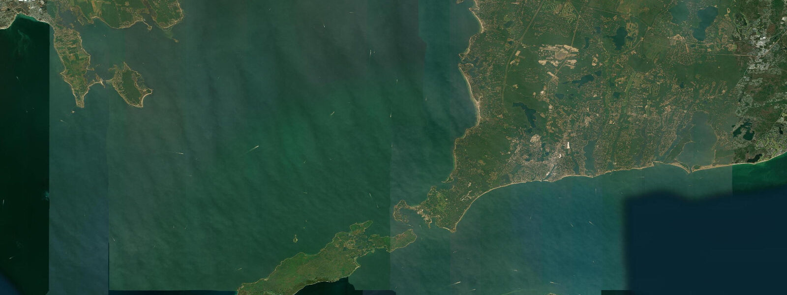
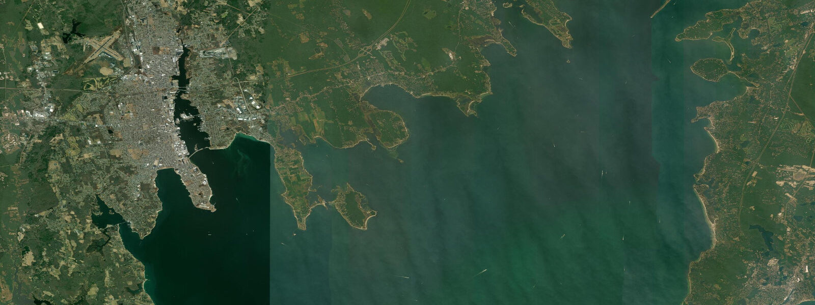
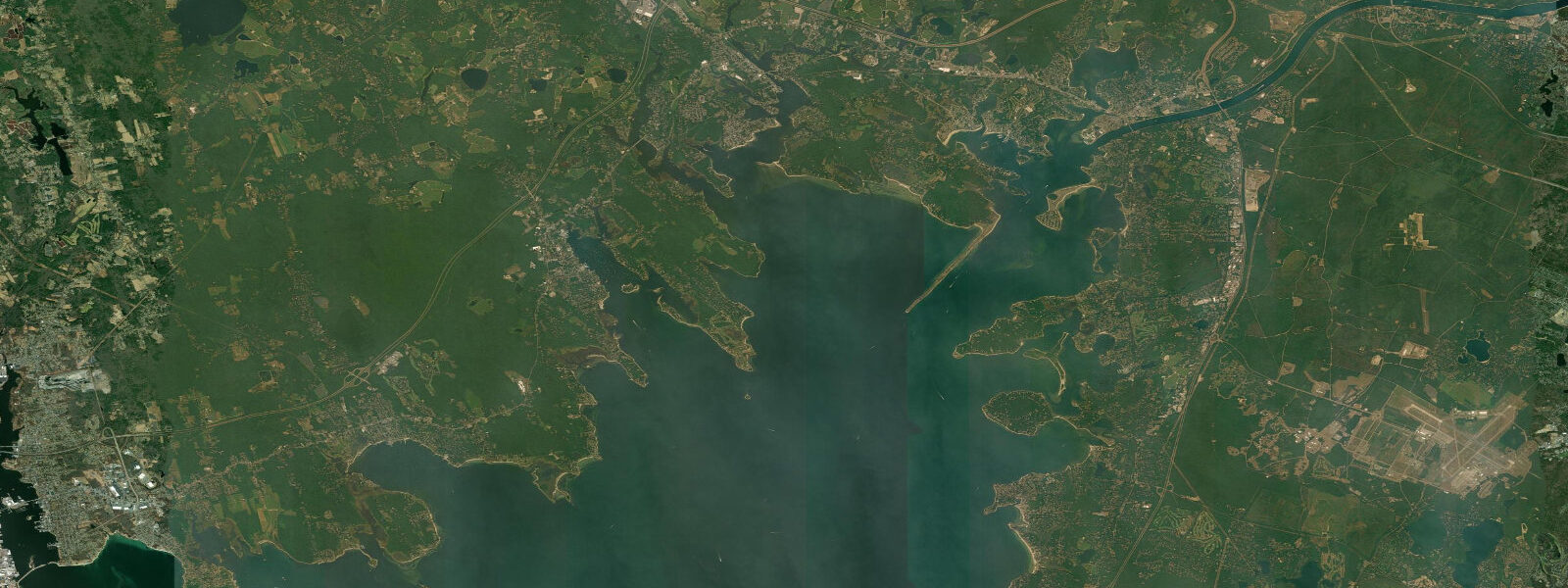
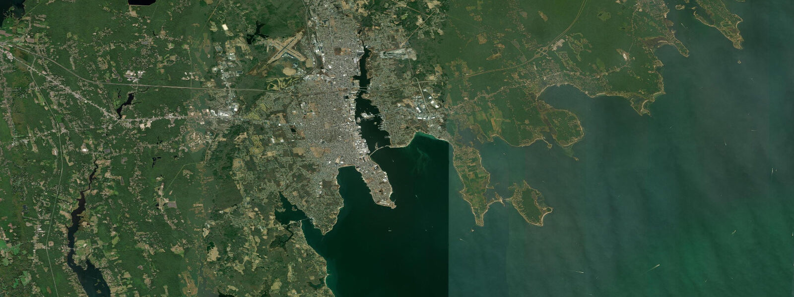
Other spots nearby
The three closest curated TideTurtle locations to Woods Hole, MA, measured by great-circle distance.
Today's solunar windows
Solunar tradition: major periods are the ≈3h windows around moon transit and opposition; minor are ≈2h around moonrise and moonset. Pair with the local tide stage and wind for the best read.
Cycle dates near Woods Hole, MA
Last spring tide on Thu 18 Jun (range 1.0m / 3.3ft). Next neap on Tue 23 Jun.
Spring tides cluster around new and full moons (biggest swings). Neap tides land on quarter moons (smallest swings). See the spring tide and neap tide glossary entries for the why.
About tides at Woods Hole, MA
A short guide to the coastline at Woods Hole, MA — geography, sea state, and what the tide is actually doing under your feet.
Woods Hole occupies the narrow passage between Buzzards Bay and Vineyard Sound on the southwest corner of Cape Cod, and that geography makes it one of the most tidally interesting places on the US Atlantic coast. The channel through the passage — less than 300 metres wide at the Great Harbor narrows — connects two bodies of water that experience their tidal highs at different times. Vineyard Sound reaches high water roughly two hours before Buzzards Bay, and the sea-level difference between the two sides of the passage drives a tidal current through the channel that reaches 4 to 5 knots on large spring tides. At peak flow, the surface of the channel is visibly turbulent, with tide rips, eddies, and overfall waves on the downstream side of the rocks and shoals that line the passage.
The Woods Hole Oceanographic Institution (WHOI) occupies the waterfront on the south side of Great Harbor. Founded in 1930, WHOI is the world's largest private oceanographic research institution, and its presence shapes the town entirely — the docks, research vessels, and institutional buildings are integral to the harbour rather than separate from it. The WHOI Ocean Science Exhibit Center is open to the public and provides excellent context for understanding why scientists study tidal currents, deep-ocean circulation, and sea-level change at locations like this one.
The Steamship Authority ferry to Martha's Vineyard departs from the dock at the foot of Water Street several times daily. The ferry schedule is not directly tide-constrained (the dock has adequate depth at all states), but timing the 45-minute crossing relative to the current window affects fuel use and crossing time — outbound ferries on a fair ebb make the crossing faster than fighting a flood. Passengers standing on the ferry deck as it transits the Hole itself can feel the current push on the hull.
The tidal flow through the Hole is famous among sea kayakers. Experienced coastal paddlers plan transits through the main channel on or near slack water — typically within 30 minutes either side of the predicted high or low at Vineyard Sound. The slack window is short (often less than 45 minutes) before the current reverses and rebuilds. Paddling through against the peak flood or ebb is not practical for most kayakers; waiting for slack is standard practice.
Shore fishing from the bridge and the rocky points flanking the Hole produces striped bass, bluefish, and tautog. The current concentrates baitfish and the predators follow — the transition from slack to running current is the productive window, when bass move into position on the down-current edges of the rocks. The approach to the Hole from the Vineyard Sound side has several named rocks — Juniper Point, Grassy Island, and the Hole itself — each with its own eddy structure.
Noble's Point and Stony Beach on the outer Buzzards Bay side provide quieter access for swimmers and waders, away from the ferry and research vessel traffic. Water temperatures in Buzzards Bay are warmer than the outer Cape Cod beaches in summer due to the sheltered geometry and shallower depth.
Predictions on this page come from Open-Meteo Marine, a gridded global ocean model. Accuracy is typically within plus or minus 45 minutes on timing and 0.2 to 0.3 metres on height — model-derived, not from a local gauge. For authoritative US tide data, consult NOAA CO-OPS at tidesandcurrents.noaa.gov.
Tide questions about Woods Hole, MA
Quick answers to the most common questions about tide times, range, and water access at Woods Hole, MA.
When is the next high tide at Woods Hole?
The tide table on this page shows predicted times in Eastern Time (EST UTC-5, EDT UTC-4 in summer). Woods Hole is interesting because Buzzards Bay and Vineyard Sound have different tidal timing — Vineyard Sound is about two hours ahead of Buzzards Bay, and the tidal predictions shown here represent conditions in the Great Harbor, which is influenced by both. The slack current window in the Hole itself occurs roughly 1 to 2 hours after the Vineyard Sound high or low — local knowledge matters here, and NOAA CO-OPS maintains a current prediction for the Hole.
How fast is the tidal current through Woods Hole Passage?
Peak spring tidal current in the main channel of Woods Hole Passage reaches 4 to 5 knots (roughly 7 to 9 km/h) — fast enough to make upstream progress difficult for a paddler or a slow motorboat. The current is caused by the sea-level difference between Buzzards Bay and Vineyard Sound, which experience their tidal highs roughly two hours apart. On neap tides the peak flow is reduced to 2 to 3 knots. NOAA publishes current predictions for the Hole specifically — separate from the height predictions — and those are the reference to use for timing transits.
Can kayakers paddle through Woods Hole safely?
Experienced sea kayakers do transit Woods Hole regularly, but the passage demands planning. The slack water window — when the current is at or near zero — is typically 30 to 45 minutes long, twice daily. Outside that window, the current is too strong for most paddlers to make uphill progress in the main channel. The approach from Vineyard Sound side is rocky and fast; the Great Harbor side is somewhat more forgiving. Use NOAA's tidal current predictions (not just the height predictions) for the Hole, and choose a neap tide cycle for a first transit. VHF radio and a tow plan are standard practice.
What research happens at WHOI in Woods Hole?
The Woods Hole Oceanographic Institution (WHOI) studies ocean circulation, deep-sea biology, climate science, and coastal processes. The tidal physics of Woods Hole Passage itself has been studied extensively — it serves as a natural laboratory for mixing and exchange processes. The nearby National Marine Fisheries Service (NOAA Fisheries) and the Marine Biological Laboratory (MBL) also occupy the town, making Woods Hole one of the densest concentrations of ocean science in the world. The WHOI Ocean Science Exhibit Center on School Street is publicly accessible.
Where is the best fishing at Woods Hole?
The rocky edges of the Passage �— Juniper Point on the Vineyard Sound side and the rocks east of the Great Harbor dock — produce striped bass and bluefish on tidal transitions, especially the first hour after current reverses from ebb to flood. Tautog (blackfish) hold on the rocky bottom in 3 to 8 metres throughout the summer. The approach to the passage from the Buzzards Bay side (Stony Beach rocky point) is productive on the incoming tide as bass follow baitfish squeezed through the narrows. Shore access is limited — a few public rocky points accessible on foot.
7-day tide table — Woods Hole, MA
Heights relative to MSL. Predictions: Open-Meteo Marine (MeteoFrance SMOC, 0.08° grid) — heights relative to MSL (not chart datum / LAT). Model-derived.
| Day | Type | Time | Height |
|---|---|---|---|
| Fri 19 Jun | Low | 06:38 | -0.9m / -3.0ft |
| High | 11:50 | 0.1m / 0.3ft | |
| Low | 18:55 | -0.9m / -2.8ft | |
| Sat 20 Jun | High | 00:09 | 0.1m / 0.2ft |
| Low | 07:26 | -0.9m / -3.0ft | |
| High | 12:40 | 0.1m / 0.2ft | |
| Low | 20:00 | -0.9m / -2.8ft | |
| Sun 21 Jun | High | 01:01 | 0.0m / 0.0ft |
| Low | 04:23 | -0.6m / -1.9ft | |
| High | 04:50 | -0.5m / -1.7ft | |
| Low | 08:18 | -0.9m / -3.0ft | |
| High | 13:35 | 0.1m / 0.2ft | |
| Low | 17:15 | -0.4m / -1.3ft | |
| High | 17:34 | -0.4m / -1.2ft | |
| Low | 21:00 | -0.8m / -2.7ft | |
| Mon 22 Jun | High | 01:53 | -0.1m / -0.2ft |
| Low | 05:17 | -0.6m / -1.9ft | |
| High | 05:52 | -0.5m / -1.8ft | |
| Low | 09:11 | -0.9m / -2.9ft | |
| High | 14:38 | 0.1m / 0.2ft | |
| Low | 17:26 | -0.3m / -0.9ft | |
| High | 18:42 | -0.2m / -0.7ft | |
| Low | 22:00 | -0.6m / -2.0ft | |
| Tue 23 Jun | High | 02:42 | -0.1m / -0.3ft |
| Low | 06:23 | -0.5m / -1.8ft | |
| High | 06:35 | -0.5m / -1.7ft | |
| Low | 09:46 | -0.9m / -2.8ft | |
| High | 15:19 | 0.1m / 0.3ft | |
| Low | 18:26 | -0.3m / -1.1ft | |
| High | 18:42 | -0.3m / -1.0ft | |
| Low | 22:50 | -0.8m / -2.6ft | |
| Wed 24 Jun | High | 03:41 | -0.2m / -0.8ft |
| Low | 07:00 | -0.7m / -2.2ft | |
| High | 07:56 | -0.6m / -2.0ft | |
| Low | 10:48 | -0.9m / -2.8ft | |
| High | 16:16 | 0.0m / 0.1ft | |
| Low | 23:36 | -0.8m / -2.7ft | |
| Thu 25 Jun | High | 04:37 | -0.2m / -0.7ft |
| Low | 07:55 | -0.7m / -2.2ft | |
| High | 08:51 | -0.6m / -2.0ft | |
| Low | 11:35 | -0.8m / -2.7ft | |
| High | 17:09 | 0.1m / 0.2ft | |
| Low | 19:00 | -0.3m / -0.9ft |