Mystic, CT tide times
Mystic, CT tide forecast — heights relative to MSL.
Today's tide times for Mystic, CT
Tide times at Mystic, CT on Sunday, 21 June 2026: first high tide at 02:19am, first low tide at 08:45am, second high tide at 02:56pm, second low tide at 09:23pm. Sunrise 05:14am, sunset 08:24pm.
Tide chart for Mystic, CT
24-hour cosine-interpolated curve around the present moment. Heights relative to MSL. Predictions: Predictions: Open-Meteo Marine (MeteoFrance SMOC, 0.08° grid).
Sun, moon and conditions on Sun 21 Jun
Snapshot at build time — refreshes daily. Sea state from Open-Meteo Marine.
Highs and lows next 7 days
Every predicted high and low for the next week, with the daily tidal coefficient (0–120; higher = bigger swing, > 95 means stronger currents).
Other spots nearby
The three closest curated TideTurtle locations to Mystic, CT, measured by great-circle distance.

Today's solunar windows
Solunar tradition: major periods are the ≈3h windows around moon transit and opposition; minor are ≈2h around moonrise and moonset. Pair with the local tide stage and wind for the best read.
Cycle dates near Mystic, CT
Next spring tide on Sun 21 Jun (range 1.2m / 3.8ft). Next neap on Mon 22 Jun.
Spring tides cluster around new and full moons (biggest swings). Neap tides land on quarter moons (smallest swings). See the spring tide and neap tide glossary entries for the why.
About tides at Mystic, CT
A short guide to the coastline at Mystic, CT — geography, sea state, and what the tide is actually doing under your feet.
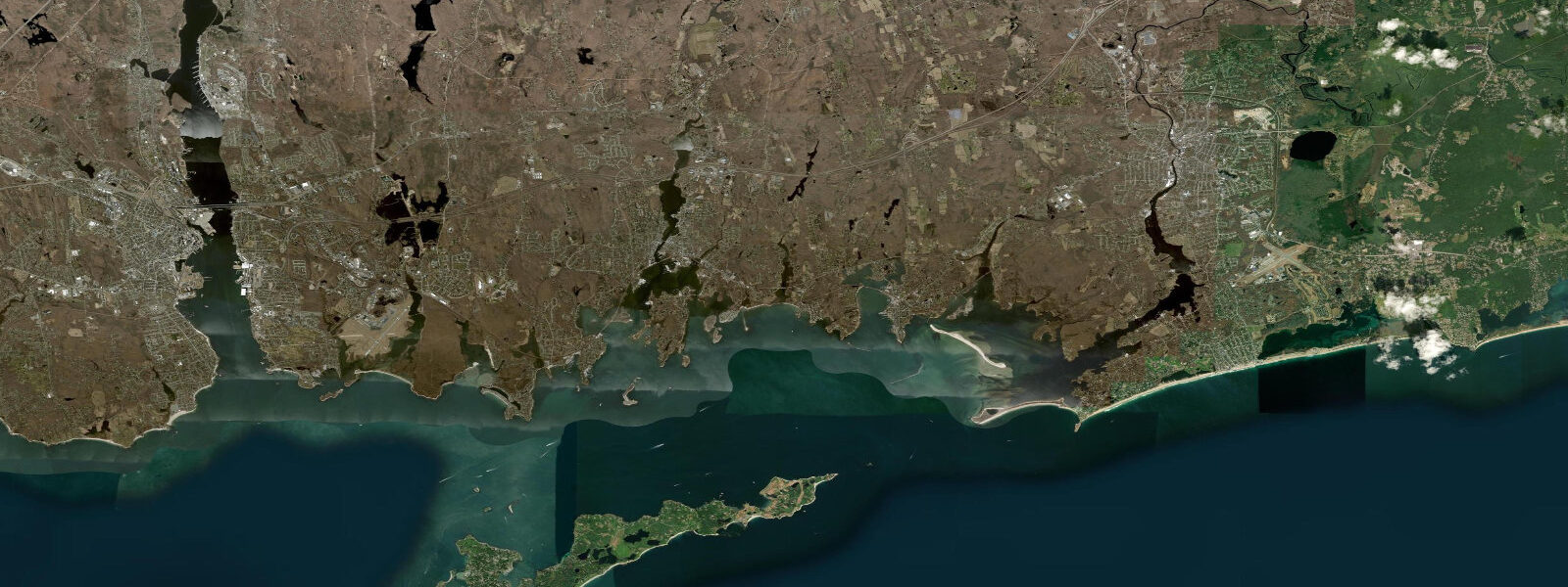
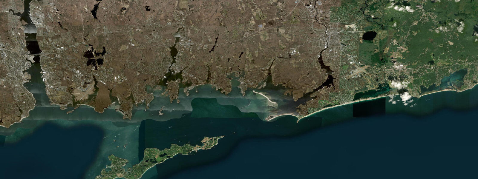
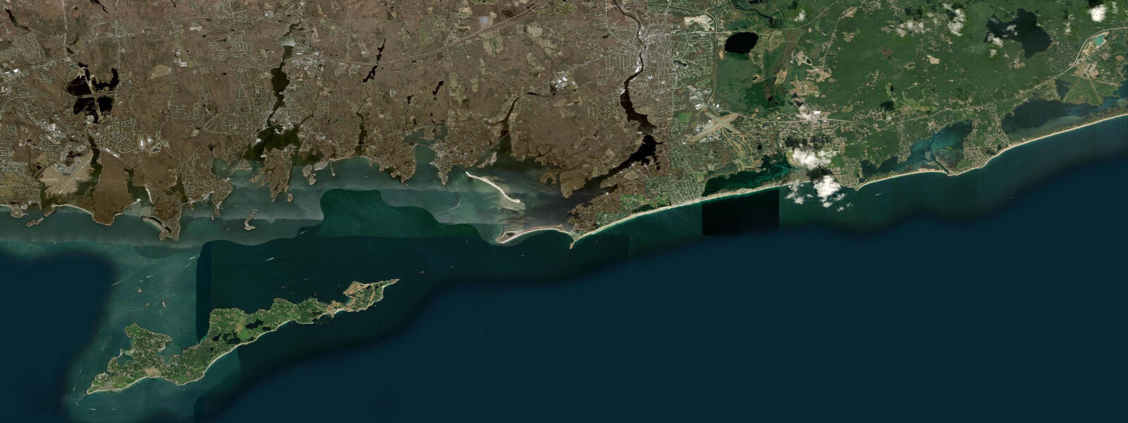
Mystic is a village within the town of Stonington, sitting at the head of the Mystic River estuary where it narrows to less than 80 m at the downtown bascule drawbridge. The Mystic River runs roughly 5 km south from the village to Mystic Harbor and then into Fishers Island Sound — the outer Long Island Sound approach. Tides here are semidiurnal with a mean range of approximately 1.5 m MLLW. Predicted higher high water reaches about 1.4–1.5 m MLLW on a typical day; the lower low approaches 0.0 m MLLW. Mystic sits near the eastern end of Long Island Sound, closer to the open Atlantic connection at the Race, which produces a slightly smaller range and an earlier tidal phase compared to mid-Sound ports like New Haven.
The Mystic Seaport Museum occupies approximately 6 hectares on the west bank of the Mystic River, 400 m north of the bascule bridge. The museum preserves and operates historic wooden vessels including the 1841 whaleship Charles W. Morgan, the only surviving wooden whaleship in the world. The Morgan is moored at the museum dock at approximately 0.5 m above mean lower low water; the dock's floating section accommodates 1.0–1.5 m of tidal rise and fall. Historically significant: when restorers work on the Morgan's copper-sheathed hull, they schedule underwater inspections and maintenance around the lower low water window — a predicted low below 0.2 m MLLW gives approximately 45 minutes of working access to the lower hull without diving. Museum visitors on a high-tide day see the vessel nearly at dock level; on a low-tide morning with a 0.1 m MLLW predicted low, the Morgan rides roughly 1.4 m above the water surface alongside the dock, exposing the full copper-clad bottom strakes.
The Mystic drawbridge (US Route 1) opens on a schedule coordinated with vehicle and marine traffic. The bridge is a bascule type built in 1922 with a closed vertical clearance of approximately 3 m above mean high water. The bridge tender operates on a posted schedule (typically on the hour and half-hour during daylight, reduced hours overnight), and the opening schedule is independent of tide — but the vessels requesting openings are not. Sailboats and larger power vessels time their passage up the Mystic River to arrive at the bridge near the opening schedule, which means a cluster of transient marine traffic appears in the river at each scheduled opening regardless of tide stage. Kayakers and canoeists who use the river launch at the Seaport Museum or the Williams Beach town ramp should be aware of this rhythm: the 10–15 minutes before each scheduled opening sees increased inbound vessel traffic.
Anglers fishing the Mystic River target striped bass in the river mouth and the first 500 m of the estuary on the early flood tide — the period from low water to approximately 2.5 hours into the flood when bait is pushed upstream and bass station in the current break at the river mouth. The river's salt marsh edges on both banks produce good early-morning action on surface lures during summer. Kayakers paddling the estuary to the harbor and out to Mason Island (2 km from the village) benefit from timing the outbound leg on the ebb and the return on the flood; with a 1.5 m mean range and an estuary that shallows to 0.4–0.6 m over the inner flats, going against the current in a loaded kayak adds 20–30 minutes to the trip. Families visiting the Seaport Museum will find the morning low tide (below 0.3 m MLLW) exposes a small gravel beach on the museum's south shoreline, sometimes used for informal intertidal education programming.
TideTurtle tide predictions for Mystic are generated from Open-Meteo Marine, a free gridded global ocean model. Accuracy is typically ±45 minutes on timing and ±0.2–0.3 m on height compared to observed tides. NOAA CO-OPS is the authoritative source for Mystic River area tide data; the reference gauge for this area is Mystic, CT (Station 8459394) at tidesandcurrents.noaa.gov. For navigation on the Mystic River or approaches through Fishers Island Sound, use NOAA CO-OPS.
Tide questions about Mystic, CT
Quick answers to the most common questions about tide times, range, and water access at Mystic, CT.
What is the tidal range in Mystic, Connecticut?
Mystic has a mean tidal range of approximately 1.5 m (about 4.9 ft) MLLW. The tides are semidiurnal — two highs and two lows per day. Mystic sits at the eastern end of Long Island Sound near the opening to the Atlantic at the Race, which gives it a slightly smaller range and an earlier tidal phase than mid-Sound ports like New Haven (~1.8 m mean range). Diurnal inequality is minor.
How does the tide affect visiting Mystic Seaport Museum?
The museum's historic vessels, including the 1841 whaleship Charles W. Morgan, are moored at floating docks that accommodate the 1.4–1.5 m tidal range. A low-tide visit (predicted low near 0.0–0.1 m MLLW) lets you see the Morgan's full copper-sheathed hull exposed above the waterline — a detail invisible at high water when the vessel floats nearly dock-level. The Seaport's outdoor exhibit areas are fully accessible at all tide stages; the tidal difference primarily affects the visual character of the waterfront exhibits.
When does the Mystic drawbridge open and how does that affect kayaking?
The Mystic bascule bridge on US Route 1 opens on a posted schedule — typically on the hour and half-hour during daytime hours, with reduced hours overnight. The schedule is set by the Connecticut DOT bridge tender and does not vary with the tide. Kayakers should note that the 10–15 minutes before each scheduled opening brings a cluster of larger vessels moving toward the bridge from the harbor side. Plan to be clear of the main channel during those windows, or hold near the bank and let motor traffic pass before proceeding.
What is the best tide for paddling the Mystic River by kayak?
The standard route from Williams Beach town ramp south to Mystic Harbor and Mason Island is best done as a tide-assisted round trip: paddle south on the ebb (2–4 hours after the predicted high water at Station 8459394) and return north on the flood. With a 1.5 m mean range, the ebb current through the estuary reaches 0.5–0.8 knots in the channel, cutting 15–20 minutes off the outbound leg. The inner flats on both sides of the estuary shoal to 0.3–0.5 m at low water — stay in the marked channel to avoid grounding.
Is this tide information safe to use for navigation?
No. TideTurtle predictions for Mystic are generated from Open-Meteo Marine, a free gridded global ocean model with typical accuracy of ±45 minutes on timing and ±0.2–0.3 m on height. NOAA CO-OPS is the authoritative source: use Station 8459394 (Mystic, CT) at tidesandcurrents.noaa.gov for all navigation, passage planning, and safety-critical decisions in the Mystic River and Fishers Island Sound approaches.
7-day tide table — Mystic, CT
Heights relative to MSL. Predictions: Open-Meteo Marine (MeteoFrance SMOC, 0.08° grid) — heights relative to MSL (not chart datum / LAT). Model-derived.
| Day | Type | Time | Height |
|---|---|---|---|
| Sun 21 Jun | High | 02:19 | -0.0m / -0.1ft |
| Low | 08:45 | -1.0m / -3.4ft | |
| High | 14:56 | 0.1m / 0.4ft | |
| Low | 21:23 | -0.9m / -3.1ft | |
| Mon 22 Jun | High | 03:16 | -0.1m / -0.3ft |
| Low | 09:40 | -1.0m / -3.4ft | |
| High | 16:00 | 0.1m / 0.5ft | |
| Low | 22:21 | -0.8m / -2.6ft | |
| Tue 23 Jun | High | 16:49 | 0.1m / 0.4ft |
| Low | 23:15 | -0.9m / -3.1ft | |
| Wed 24 Jun | High | 05:08 | -0.2m / -0.6ft |
| Low | 11:21 | -1.0m / -3.3ft | |
| High | 17:43 | 0.1m / 0.4ft | |
| Thu 25 Jun | Low | 00:07 | -1.0m / -3.2ft |
| High | 06:03 | -0.2m / -0.6ft | |
| Low | 12:11 | -0.9m / -3.0ft | |
| High | 18:26 | 0.1m / 0.4ft | |
| Fri 26 Jun | Low | 00:55 | -1.0m / -3.2ft |
| High | 06:54 | -0.1m / -0.3ft | |
| Low | 13:00 | -0.9m / -2.8ft | |
| High | 19:10 | 0.2m / 0.6ft | |
| Sat 27 Jun | Low | 01:46 | -0.9m / -3.0ft |
| High | 07:39 | -0.1m / -0.3ft | |
| Low | 13:50 | -0.9m / -2.9ft | |
| High | 19:00 | 0.1m / 0.3ft |