Stonington, CT tide times
Stonington, CT tide forecast — heights relative to MSL.
Today's tide times for Stonington, CT
Tide times at Stonington, CT on Sunday, 21 June 2026: first high tide at 02:00am, first low tide at 08:37am, second high tide at 02:44pm, second low tide at 09:15pm. Sunrise 05:14am, sunset 08:24pm.
Tide chart for Stonington, CT
24-hour cosine-interpolated curve around the present moment. Heights relative to MSL. Predictions: Predictions: Open-Meteo Marine (MeteoFrance SMOC, 0.08° grid).
Sun, moon and conditions on Sun 21 Jun
Snapshot at build time — refreshes daily. Sea state from Open-Meteo Marine.
Highs and lows next 7 days
Every predicted high and low for the next week, with the daily tidal coefficient (0–120; higher = bigger swing, > 95 means stronger currents).
Other spots nearby
The three closest curated TideTurtle locations to Stonington, CT, measured by great-circle distance.
Today's solunar windows
Solunar tradition: major periods are the ≈3h windows around moon transit and opposition; minor are ≈2h around moonrise and moonset. Pair with the local tide stage and wind for the best read.
Cycle dates near Stonington, CT
Next spring tide on Sun 21 Jun (range 1.1m / 3.6ft). Next neap on Fri 26 Jun.
Spring tides cluster around new and full moons (biggest swings). Neap tides land on quarter moons (smallest swings). See the spring tide and neap tide glossary entries for the why.
About tides at Stonington, CT
A short guide to the coastline at Stonington, CT — geography, sea state, and what the tide is actually doing under your feet.
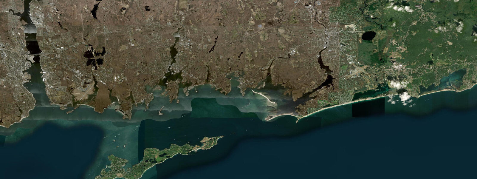
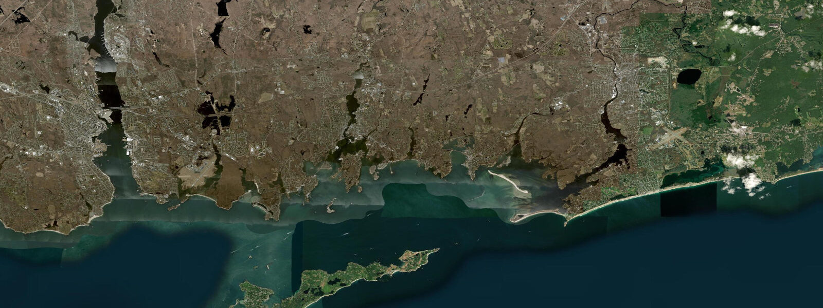
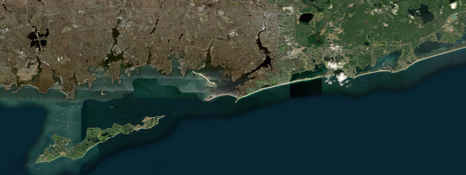
Stonington Borough sits at the southeastern tip of Connecticut, on a narrow granite peninsula projecting south into Fishers Island Sound — the outermost reach of Long Island Sound. The peninsula is roughly 1 km long and 400 m wide, flanked by Stonington Harbor to the west and the open Sound to the east. This exposed outer-Sound position gives Stonington a slightly smaller tidal range and a more oceanic character than the sheltered inner Sound harbors to the west. The mean tidal range at Stonington is approximately 1.3 m MLLW — the smallest among the Connecticut places on TideTurtle. Predicted higher high water reaches about 1.2–1.3 m MLLW; the lower low approaches 0.0 m MLLW. The tidal phase here leads Mystic by roughly 10–15 minutes, tracking closer to the open-Atlantic tidal signal from the Race (the 3 km strait between Fisher's Island and Watch Hill, 10 km east).
Stonington's stone breakwater, built of local granite in the early 1800s and extended repeatedly through the 20th century, runs approximately 600 m along the harbor's eastern side. At mean higher high water (about 1.2 m MLLW) the breakwater's top surface sits roughly 0.6–0.8 m above sea level; at mean lower low water (0.0 m MLLW) the base of the breakwater is fully exposed and the harbor shallows to less than 0.5 m in the inner basin. The commercial fishing fleet — lobster boats, draggers, and a handful of oyster vessels — operates out of the inner harbor docks, which limit access to vessels drawing less than 1.5 m at mean lower low water. Vessels with a 1.2 m draft have roughly 1.5 hours of departure window around the predicted low before the tide rises enough to allow free movement; most captains schedule departures during the 3–4 hours after first light when the tide is rising toward the first high.
Stonington's lobster fleet works the rocky bottom of Fishers Island Sound and the Rhode Island Sound approaches. Trap lines are set in 10–25 m of water on the hard-bottom ridges east and south of Stonington Point. The tidal current through the Race and the outer Sound reverses twice daily and runs 1–3 knots on spring tides; lobstermen time hauling runs to approach traps from upcurrent — making the boat stationary relative to the bottom gear — which means trap-hauling schedules rotate by roughly 50 minutes each day tracking the tidal cycle. From the town's public dock on Cannon Square (end of Water Street), visitors can watch the fleet return between 10:00 and 14:00 most weekdays, with the largest landings correlating to outgoing morning tides that allow fast upcurrent runs on the haul-back.
The Borough of Stonington historic district — 18th and 19th-century Federal and Greek Revival houses on Water Street and Main Street — runs along the harbor side of the peninsula. At the tip of the peninsula, Stonington Point Park offers direct views of Fishers Island Sound and Watch Hill lighthouse (Rhode Island) across the water 9 km to the northeast. Photographers working the point for seascape work favor the 90-minute window around low water when the granite ledge at the point base exposes fully and the foreground rock and kelp appear in frame below the horizon. Anglers cast from the breakwater for striped bass and bluefish during the 2 hours on either side of the predicted low tide — bait concentrates at the breakwater's tip where the current accelerates around the granite end, and bass station on the downcurrent side waiting for disoriented prey. Families exploring tide pools should visit the breakwater and point ledge at tides below 0.2 m MLLW, when the lower intertidal zone (rockweed, barnacles, periwinkles, green crabs, small anemones) exposes for 30–45 minutes before flooding.
TideTurtle tide predictions for Stonington are generated from Open-Meteo Marine, a free gridded global ocean model. Accuracy is typically ±45 minutes on timing and ±0.2–0.3 m on height compared to observed tides. At a mean range of only 1.3 m, a 0.2 m height error represents 15% of the total range — significant for low-tide access planning. NOAA CO-OPS is the authoritative source for Stonington-area tide data; the nearest gauge is New London, CT (Station 8461490), approximately 20 km to the northwest at tidesandcurrents.noaa.gov, with a standard correction of approximately +5 to +10 minutes and -0.05 m applied for the Stonington outer harbor.
Tide questions about Stonington, CT
Quick answers to the most common questions about tide times, range, and water access at Stonington, CT.
What is the tidal range in Stonington, Connecticut?
Stonington has a mean tidal range of approximately 1.3 m (about 4.3 ft) MLLW — the smallest of Connecticut's Long Island Sound ports on TideTurtle. The smaller range reflects Stonington's position at the eastern end of the Sound, closest to the open Atlantic connection at the Race. Tides are semidiurnal (two highs and two lows per day) with minimal diurnal inequality.
Can I fish from Stonington breakwater and when is the best tide?
The Stonington stone breakwater is a productive shore-fishing spot for striped bass and bluefish from late May through October. The most consistent bite is the 90–120 minutes on either side of low water, when current accelerates around the breakwater tip and concentrates bait. The breakwater tip is accessible on foot at tides below roughly 0.4 m MLLW. Arrive 45 minutes before the predicted low to be in position as the tide bottoms. Early morning and dusk windows are most productive for striped bass; bluefish can show at any hour when bait is present.
What can I see at Stonington Point at low tide?
Stonington Point Park at the tip of the peninsula exposes a granite ledge at tides below approximately 0.2 m MLLW. The lower intertidal zone here — rockweed, barnacle fields, periwinkles, green crabs, and small sea anemones in the pools — is accessible for 30–45 minutes around the predicted lower low. From the point on a clear day you can see Watch Hill Lighthouse in Rhode Island 9 km to the northeast and Fishers Island 7 km to the south. The exposed ledge provides good foreground for seascape photography during the low-tide window.
Is the Stonington lobster fleet accessible for visitors and does tide matter?
The working lobster fleet docks at the inner harbor off Water Street. Boats typically return with their catch between 10:00 and 14:00 on weekdays, and it is possible to watch unloading from the public area near Cannon Square. The fleet's departure timing does rotate with the tidal cycle — lobstermen prefer to depart on a running tide that sets them toward their trap lines — so the boats are on the water during the strongest current windows of the morning and back during the mid-tide calm. There is no formal lobster-buying operation open to the public at the docks; retail fish sales happen at the handful of fish markets on Water Street.
Is this tide information safe to use for navigation?
No. TideTurtle predictions for Stonington are generated from Open-Meteo Marine, a free gridded global ocean model with typical accuracy of ±45 minutes on timing and ±0.2–0.3 m on height. The nearest NOAA CO-OPS gauge is New London, CT (Station 8461490); apply standard corrections for the Stonington outer harbor. For navigation in Fishers Island Sound or the Race approach, use NOAA CO-OPS at tidesandcurrents.noaa.gov — the Race tidal currents reach 3+ knots on spring tides and demand authoritative predictions.
7-day tide table — Stonington, CT
Heights relative to MSL. Predictions: Open-Meteo Marine (MeteoFrance SMOC, 0.08° grid) — heights relative to MSL (not chart datum / LAT). Model-derived.
| Day | Type | Time | Height |
|---|---|---|---|
| Sun 21 Jun | High | 02:00 | -0.1m / -0.3ft |
| Low | 08:37 | -1.0m / -3.3ft | |
| High | 14:44 | 0.1m / 0.3ft | |
| Low | 21:15 | -0.9m / -3.0ft | |
| Mon 22 Jun | High | 03:02 | -0.1m / -0.4ft |
| Low | 09:35 | -1.0m / -3.3ft | |
| High | 15:48 | 0.1m / 0.3ft | |
| Low | 22:14 | -0.8m / -2.5ft | |
| Tue 23 Jun | High | 03:53 | -0.2m / -0.5ft |
| Low | 10:17 | -1.0m / -3.3ft | |
| High | 16:36 | 0.1m / 0.3ft | |
| Low | 23:06 | -0.9m / -3.0ft | |
| Wed 24 Jun | High | 04:56 | -0.2m / -0.7ft |
| Low | 11:10 | -1.0m / -3.2ft | |
| High | 17:33 | 0.1m / 0.2ft | |
| Thu 25 Jun | Low | 00:00 | -0.9m / -3.1ft |
| High | 05:53 | -0.2m / -0.6ft | |
| Low | 12:00 | -0.9m / -2.9ft | |
| High | 18:14 | 0.1m / 0.3ft | |
| Fri 26 Jun | Low | 00:48 | -0.9m / -3.0ft |
| High | 06:43 | -0.1m / -0.4ft | |
| Low | 12:51 | -0.8m / -2.7ft | |
| High | 18:58 | 0.2m / 0.5ft | |
| Sat 27 Jun | Low | 01:39 | -0.9m / -2.9ft |
| High | 07:25 | -0.1m / -0.4ft | |
| Low | 13:39 | -0.9m / -2.8ft | |
| High | 19:00 | 0.1m / 0.3ft |