Tabarka tide times
Tabarka tide forecast — heights relative to MSL.
Tide chart for Tabarka
24-hour cosine-interpolated curve around the present moment. Heights relative to MSL. Predictions: Predictions: Open-Meteo Marine (MeteoFrance SMOC, 0.08° grid).
Sun, moon and conditions on Sun 21 Jun
Snapshot at build time — refreshes daily. Sea state from Open-Meteo Marine.
Highs and lows next 7 days
Every predicted high and low for the next week, with the daily tidal coefficient (0–120; higher = bigger swing, > 95 means stronger currents).
Other spots nearby
The three closest curated TideTurtle locations to Tabarka, measured by great-circle distance.
Today's solunar windows
Solunar tradition: major periods are the ≈3h windows around moon transit and opposition; minor are ≈2h around moonrise and moonset. Pair with the local tide stage and wind for the best read.
About tides at Tabarka
A short guide to the coastline at Tabarka — geography, sea state, and what the tide is actually doing under your feet.
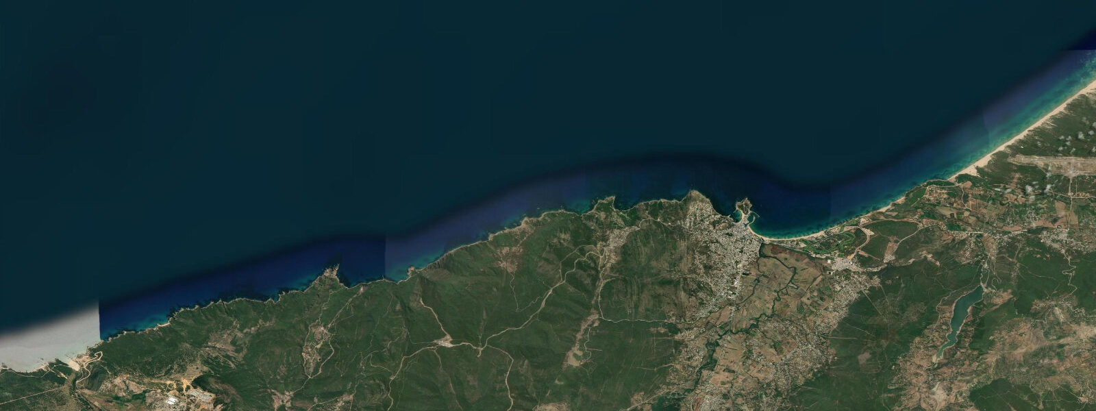
Tabarka sits close to the Algerian border, where the Kroumirie mountain range meets the sea in a series of rocky headlands and small sandy bays. The Genoese fort — built by the Lomellini family in 1540 when Genoa held the island as a concession from the Hafsid rulers of Tunis — sits on a rocky islet offshore, connected to the mainland town by a causeway constructed in the early 20th century. That causeway, intended to create a harbour, also effectively enclosed a beach on its eastern side. The main Tabarka beach, backed by the town's hotels and restaurants, runs east from the causeway for roughly 2 km; the sand is coarse and golden, typical of the Kroumirie coast. The Guitar Rock (Aiguilles de Tabarka) is the other visual signature — a group of basalt and limestone needles rising 4 to 8 m from the sea surface about 200 m offshore from the western bay, accessible by kayak in calm conditions. The submarine geography around the Guitar Rocks drops to 18 to 25 m and holds the red coral colonies (Corallium rubrum) for which Tabarka has been known since Roman times. The coral trade was the original economic rationale for the Genoese concession; the island served as the trading post for coral harvested along this coast. Commercial harvesting is now restricted and regulated; the remaining colonies in the 15 to 35 m range east and northeast of the Guitar Rocks are a primary draw for sport divers. Dive centres in Tabarka run guided dives to the coral gardens and to the wreck of a merchant vessel in the outer bay. The Tabarka Jazz Festival, held annually in July, transforms the town for one week and brings international acts to the beachfront stage; accommodation in the resort hotels books out well in advance. The tidal regime at Tabarka is Mediterranean microtidal. Spring range is approximately 0.35 m, consistent with the northwest Tunisian coast. The beach faces north-northwest; summer conditions are typically calm and the water clear (visibility 8 to 12 m at the dive sites). Autumn and winter bring Tramontane and Gregale winds from the northwest and northeast that drive swell into the bay; the Guitar Rocks become inaccessible by kayak in anything above 0.5 m swell. Water temperature ranges from 22–25°C in July–August to 14–15°C in January–February. The Tabarka–Ain Draham road climbs into the Kroumirie mountains 20 km inland; the cork oak forest along this road has a distinctly different character from coastal Tunisia, and the combination of mountain forest and coral reef within the same half-day is an unusual pairing on the continent. Shore anglers work the rocky sections either side of the main beach, particularly around the causeway base and the eastern headland, for sea bream, grouper, and sar. The fishing port at the western end of town operates a small trawler fleet and a handful of smaller day-boats; the port fish market runs most mornings and reflects seasonal catch patterns. Tide predictions at Tabarka come from Open-Meteo Marine, a gridded global ocean model; accuracy is typically ±45 min on timing and ±0.2–0.3 m on height. INM (Institut National de la Météorologie, Tunisia) is the authoritative forecast source for marine and weather conditions on this coast.
The wider Tabarka municipality extends 10 km east toward the Nefza region and 15 km west to the Algerian border. The border crossing at Oum Teboul (7 km west) connects to the Algerian city of El Kala, which has its own Mediterranean coast and wetland national park. The cross-border day trip is currently constrained by the practical complexities of the Tunisia-Algeria land crossing for non-Maghreb nationals; most visitors use Tabarka as a base for exploring the Kroumirie forest and coast rather than crossing. The coastal road between Tabarka and Bizerte, the C26/GP11, runs through small fishing villages and resort developments; it is one of the scenic coastal drives in North Africa, though the road quality and driving behaviour require attention. The drive from Tabarka to Bizerte takes 1.5 to 2 hours and covers three distinct landscape zones: Kroumirie montane coast, the transitional cap Serrat headland zone, and the flatter Bizerte lagoon plain.
Tide questions about Tabarka
Quick answers to the most common questions about tide times, range, and water access at Tabarka.
What is the tidal range at Tabarka and does it affect diving?
Tabarka has a Mediterranean microtidal regime with a spring tidal range of approximately 0.35 m. Two unequal highs and two lows occur each day. The small range means the tide itself has minimal direct impact on dive planning; water entry and exit from the rocky sections is more affected by swell state than by tidal height. For underwater visibility at the coral garden sites, the relevant factor is the current — which is driven by the sea-level differential along the coast and by wind, not the astronomical tide. Slack periods around the predicted tide change tend to offer the best visibility. Tide predictions here come from Open-Meteo Marine, a gridded global ocean model; accuracy is typically ±45 min on timing and ±0.2–0.3 m on height. The dive centres in Tabarka can advise on local current conditions for specific sites.
What is the red coral situation at Tabarka — can you see it diving?
Tabarka has one of the most documented red coral (Corallium rubrum) populations on the North African coast. The coral colonies grow at depths of 15 to 35 m on the hard substrate around the Guitar Rock area and the deeper reef sections offshore. Commercial harvesting is now regulated and restricted under Tunisian environmental law; the colonies in accessible dive depths still exist but are significantly depleted compared to historical accounts. Sport divers visiting on guided dives with Tabarka's dive centres can see the remaining colonies in the 20 to 30 m range. The coral garden sites — typically accessed via 45 to 60 minute boat dives from the port — hold gorgonian sea fans alongside the red coral patches. Water visibility in summer reaches 8 to 15 m on good days. The dive centres are the best source for current colony locations and access conditions.
When is the Tabarka Jazz Festival?
The Tabarka Jazz Festival runs annually in July, typically over 5 to 7 days in the second or third week of the month. The main stage is set on the beach in front of the resort hotels, and the programme has historically included international and Tunisian acts across jazz, world music, and North African contemporary genres. Accommodation in Tabarka fills quickly in the festival week and in the two weeks either side — book well in advance if planning to visit during July. The July timing coincides with the best sea conditions for diving and swimming (water temperature 22–24°C, low swell probability), so the festival week combines well with coastal activity. Exact dates vary each year; confirm with the Tabarka tourism office or the festival website before booking.
How do I reach the Guitar Rocks (Aiguilles de Tabarka) by kayak?
The Guitar Rocks lie approximately 200 m offshore from the western bay at Tabarka, east of the Genoese fort causeway. In calm summer conditions — negligible swell, wind below force 3 — the paddle from the beach takes 10 to 15 minutes and the rocks are accessible for close inspection, photography, and snorkelling. The base of the needles drops to 6 to 10 m and holds the clearest water in the immediate bay. Access requires sea kayak or sit-on-top kayak; inflatable recreational equipment is not suitable. From October onward, Tramontane and Gregale episodes can build 0.5 to 1.5 m swell from the northwest and northeast respectively; the rocks become unsafe for kayak approach in those conditions. Check the INM forecast and the offshore wind before launching. No kayak hire operates directly from the Guitar Rock side; the town's water-sports operators on the main beach are the starting point.
What fish are caught at Tabarka and when?
The Tabarka fishing port trawler fleet targets a mixture of demersal species: sea bream (dorade), sar, grouper (mérou), dentex (denti), and various flatfish on the sandy bottom sections of the bay. The small-boat fleet works the reef margins for octopus, squid, and cephalopods from late summer through autumn. Shore anglers on the rocky sections around the causeway base and eastern headland work for sea bream and grouper; the incoming tide is the traditional fishing window, though with a 0.35 m spring range the tidal effect on fish behaviour is modest. The angler tradition that rates fishing by moon transit periods (solunar tradition) scores the day on the tide table header on this page; anglers locally do follow solunar periods, treating them as increased-probability windows rather than guarantees. The morning fish market at the port reflects seasonal catch patterns and is the most direct read of what the grounds are producing.
8-day tide table — Tabarka
Heights relative to MSL. Predictions: Open-Meteo Marine (MeteoFrance SMOC, 0.08° grid) — heights relative to MSL (not chart datum / LAT). Model-derived.
| Day | Type | Time | Height |
|---|---|---|---|
| Sun 21 Jun | — | ||
| Mon 22 Jun | Low | 09:00 | -0.5m |
| Tue 23 Jun | High | 03:00 | -0.3m |
| Wed 24 Jun | — | ||
| Thu 25 Jun | — | ||
| Fri 26 Jun | Low | 12:00 | -0.5m |
| Sat 27 Jun | High | 06:00 | -0.4m |
| Sun 28 Jun | Low | 00:00 | -0.4m |