Cap Serrat tide times
Cap Serrat tide forecast — heights relative to MSL.
Today's tide times for Cap Serrat
Tide times at Cap Serrat on Sunday, 21 June 2026: first low tide at 07:00pm. Sunrise 05:03am, sunset 07:46pm.
Tide chart for Cap Serrat
24-hour cosine-interpolated curve around the present moment. Heights relative to MSL. Predictions: Predictions: Open-Meteo Marine (MeteoFrance SMOC, 0.08° grid).
Sun, moon and conditions on Sun 21 Jun
Snapshot at build time — refreshes daily. Sea state from Open-Meteo Marine.
Highs and lows next 7 days
Every predicted high and low for the next week, with the daily tidal coefficient (0–120; higher = bigger swing, > 95 means stronger currents).
Other spots nearby
The three closest curated TideTurtle locations to Cap Serrat, measured by great-circle distance.
Today's solunar windows
Solunar tradition: major periods are the ≈3h windows around moon transit and opposition; minor are ≈2h around moonrise and moonset. Pair with the local tide stage and wind for the best read.
About tides at Cap Serrat
A short guide to the coastline at Cap Serrat — geography, sea state, and what the tide is actually doing under your feet.
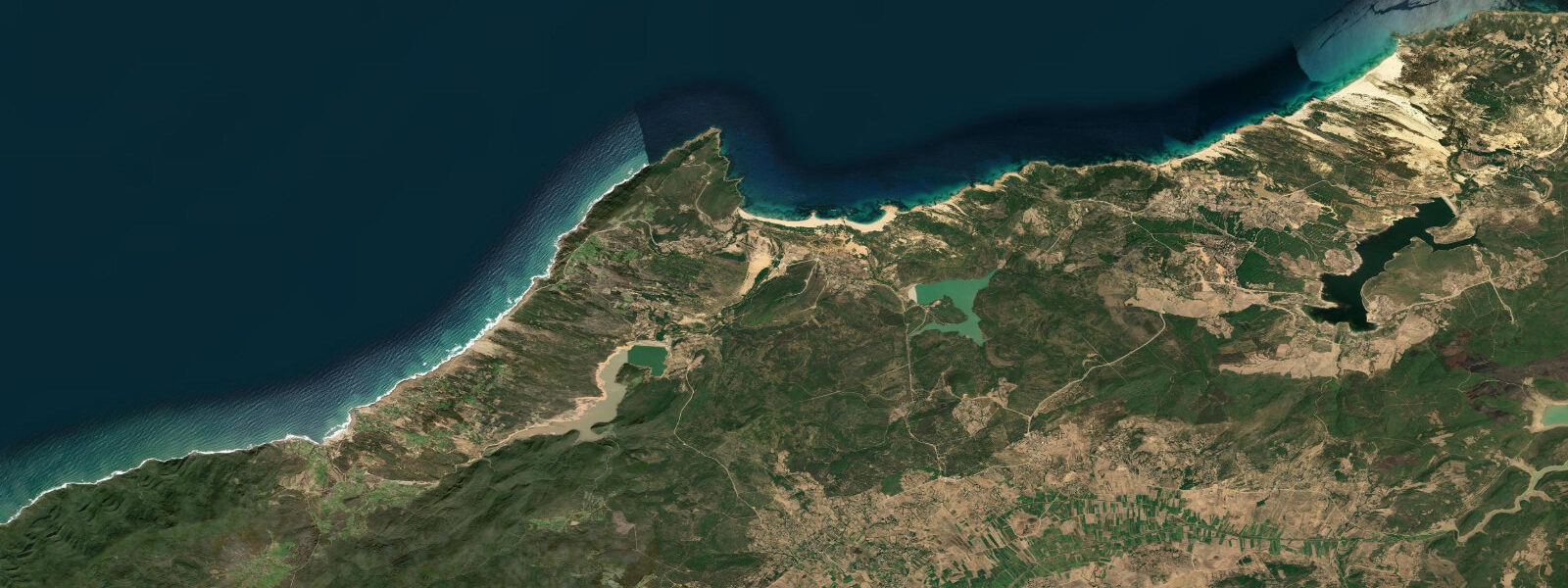
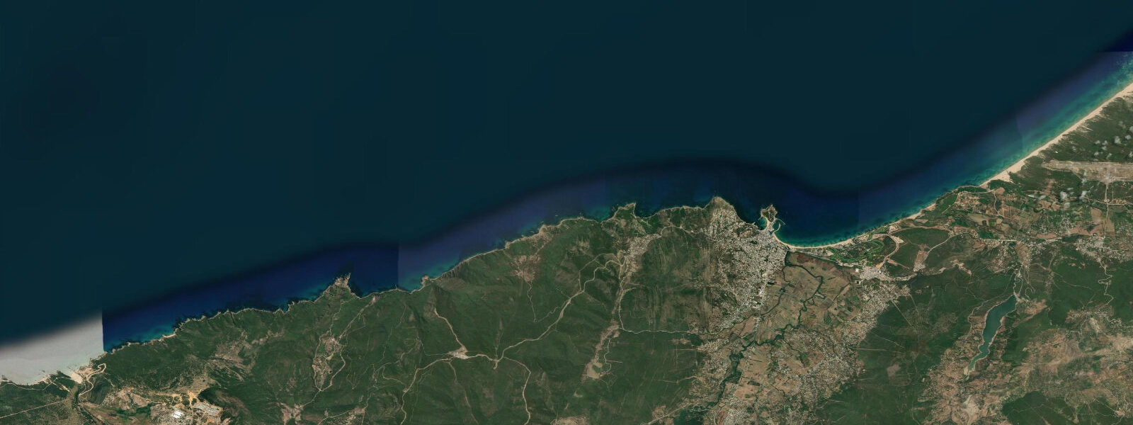
Cap Serrat is a rocky headland 80 km west of Bizerte, where the Kroumirie mountains run almost to the water. The Kroumirie is the wettest region in Tunisia — annual rainfall reaches 1,200 to 1,500 mm in the higher elevations, and the dense cork oak and pine forests covering the hillsides come within a kilometre of the clifftops at several points along this coast. The contrast with Tunisia's general reputation for semi-arid landscape is sharp and worth naming: the northwest coast between Tabarka and Cap Serrat looks and feels more like coastal Sardinia than anything in the Sahara. The beach at Cap Serrat sits in a sheltered cove immediately east of the headland. The cove faces north; the headland provides some protection on the east side, and the bay depth at the approach is enough for small boats to anchor in calm conditions. The beach is a mix of coarse sand and pebble at the high-water line, transitioning to sandy bottom in the shallower water. The rocky submarine cliff base on the western side of the headland drops into clear water and holds a diverse benthic community — the western Mediterranean here has good water transparency in summer, with Secchi-disk depths of 10 to 20 m. Access to Cap Serrat is by a single road from the N11 coastal highway, passing through Sidi Mechreg; the road is paved but narrow and requires attention in the steep sections. The area has no tourist infrastructure to speak of — a small lighthouse, the beach, the forest, and a few fishing households in the cove settlement. The tidal range at Cap Serrat is Mediterranean microtidal, spring range approximately 0.35 m. The north-facing exposure means autumn and winter Tramontane episodes build a short, steep swell into the bay that is absent from the calmer summer months. In calm summer conditions — June through mid-September — the water at Cap Serrat is among the clearest accessible from the Tunisian coast. The rocky bottom around the headland base is suitable for snorkelling; the kelp and posidonia sea-grass patches in 2 to 5 m of water hold wrasse, grouper, and sea bream. Water temperature follows the northwest coast pattern: 20–24°C in summer, 14–15°C in January and February. For shore anglers, the rocky ledges on the western face of the headland are the primary casting positions; sea bream, sar, grouper, and occasionally dentex (denti) work the bottom on the incoming tide. The nearest town with services is Sidi Mechreg (15 km east on the N11). The Kroumirie forest trails above the coast extend to the Ain Draham area; the combination of coastal cove and mountain forest within the same day trip makes Cap Serrat an outlier in Tunisian coastal options. The Bizerte Channel to the east (80 km) and the Tabarka coral coast to the west (50 km) bracket the Cap Serrat section of coast; this middle stretch has the lowest visitor numbers of the three. Tide predictions at Cap Serrat come from Open-Meteo Marine, a gridded global ocean model. Accuracy is typically ±45 min on timing and ±0.2–0.3 m on height. INM (Institut National de la Météorologie, Tunisia) is the authoritative source for weather and marine forecasts on this coast.
Cap Serrat is one of a small number of places in Tunisia where the coastal infrastructure is essentially absent — no parking fees, no lifeguard towers, no beach chair rental. That absence has a cost: no emergency services either. The nearest medical facility with any capacity is in Tabarka (50 km west) or Bizerte (80 km east). Self-sufficiency is the operating principle for any visit. In practical terms: bring your own water and food, inform someone of your plans, and check the sea conditions before committing to open water activities. The reward is a degree of coastal solitude that is rare this close to a North African city. The sea off the headland on a calm August morning, with visibility to the sand 10 m below and the cork oak forest visible on the hillside behind the cove, is an experience that the organised resort beaches along this coast do not replicate.
Tide questions about Cap Serrat
Quick answers to the most common questions about tide times, range, and water access at Cap Serrat.
How do I get to Cap Serrat beach?
Cap Serrat is reached via the N11 coastal highway from Bizerte (approximately 80 km west, 1.5 to 2 hours depending on the road sections chosen) or from Tabarka (50 km east, about 1 hour). Turn onto the road toward Sidi Mechreg from the N11 and follow the signs toward Cap Serrat lighthouse. The final road to the cove is narrow with some steep gradients — manageable in a standard car in dry conditions, more demanding after rain. There is no reliable fuel between Sidi Mechreg and Tabarka; fill up before the detour. The beach itself has no commercial facilities: no lifeguards, no food vendors, no equipment rental. Bring water and food for the day.
What is the water like for snorkelling at Cap Serrat?
The rocky bottom around the Cap Serrat headland is well-suited to snorkelling in calm conditions. Water clarity in summer is excellent — visibility of 10 to 15 m is common from late June through September when the summer regime suppresses wind and particulate from river runoff. The rocky base on the western face of the headland holds posidonia sea-grass meadows at 2 to 5 m depth and small grouper, wrasse, sea bream, and octopus on the rock faces. The eastern side of the cove is shallower and sandier; the rocky sections hold the best biodiversity. Entry from the beach requires care over the pebble margin at the high-water line. The small Mediterranean tidal range (spring ~0.35 m) means the entry conditions at the rocky sections change only slightly between high and low water; swell state is the more significant variable. Avoid snorkelling on the western face when any northerly swell is running.
What is the tidal range and tide timing at Cap Serrat?
Cap Serrat has a Mediterranean microtidal regime identical to the wider Bizerte Governorate coast. Spring tidal range is approximately 0.35 m, with two unequal highs and two unequal lows per day. The timing and height shown on this page come from Open-Meteo Marine, a gridded global ocean model; accuracy is typically ±45 min on timing and ±0.2–0.3 m on height. Given the small range, wind and pressure effects routinely dominate the actual water level. On the north-facing coast at Cap Serrat, Tramontane (NW) and Gregale (NE) winds are the main sources of elevated sea level; INM (Institut National de la Météorologie, Tunisia) weather forecasts should be checked for any coastal activity in autumn or winter.
When is the best time of year to visit Cap Serrat?
June through mid-September offers the calmest sea conditions and warmest water at Cap Serrat. The Kroumirie mountains receive rain through the autumn and winter, and the coast here is noticeably wetter than the Tunis Gulf coast; spring (April–May) brings green hillsides and cooler water (17–19°C). July and August are peak months for calm, clear water, though the site sees far fewer visitors than the resort beaches near Tabarka or the Bizerte Corniche. The north-facing cove becomes rough during Tramontane and Gregale episodes from October through March; those storms can last 3 to 5 days and are the primary hazard for any open-coast activity on the northwest Tunisian coast. Check the INM forecast before travelling if visiting outside the core summer window.
Is Cap Serrat good for fishing?
The rocky ledges on the western face of Cap Serrat headland are productive shore-fishing positions for sea bream (dorade grise, sar), grouper (mérou), and dentex (denti) — all bottom-feeding species that work the posidonia and rock-face habitat. The incoming tide is the preferred window for shore casting in this region, when fish push into the shallower ledge positions. At spring range of 0.35 m, the tide window is short — roughly 1.5 to 2 hours per tidal phase. The cleaner approach is to fish the early-morning change of tide, avoiding the midday heat and coinciding with the traditional low-light feeding period. No boat hire or local fishing charter operates from Cap Serrat itself; the nearest organised fishing departure is Tabarka, 50 km west.
8-day tide table — Cap Serrat
Heights relative to MSL. Predictions: Open-Meteo Marine (MeteoFrance SMOC, 0.08° grid) — heights relative to MSL (not chart datum / LAT). Model-derived.
| Day | Type | Time | Height |
|---|---|---|---|
| Sun 21 Jun | Low | 19:00 | -0.6m |
| Mon 22 Jun | — | ||
| Tue 23 Jun | — | ||
| Wed 24 Jun | — | ||
| Thu 25 Jun | — | ||
| Fri 26 Jun | High | 19:00 | -0.3m |
| Sat 27 Jun | Low | 01:00 | -0.4m |
| High | 06:00 | -0.4m | |
| Sun 28 Jun | Low | 00:00 | -0.4m |