Speyside tide times
Speyside tide forecast — heights relative to MSL.
Today's tide times for Speyside
Tide times at Speyside on Saturday, 4 July 2026: first high tide at 05:12am, first low tide at 11:48am, second high tide at 06:07pm, second low tide at 11:55pm. Sunrise 05:43am, sunset 06:29pm.
Tide chart for Speyside
24-hour cosine-interpolated curve around the present moment. Heights relative to MSL. Predictions: Predictions: Open-Meteo Marine (MeteoFrance SMOC, 0.08° grid).
Sun, moon and conditions on Sat 04 Jul
Snapshot at build time — refreshes daily. Sea state from Open-Meteo Marine.
Highs and lows next 7 days
Every predicted high and low for the next week, with the daily tidal coefficient (0–120; higher = bigger swing, > 95 means stronger currents).
Other spots nearby
The three closest curated TideTurtle locations to Speyside, measured by great-circle distance.
Today's solunar windows
Solunar tradition: major periods are the ≈3h windows around moon transit and opposition; minor are ≈2h around moonrise and moonset. Pair with the local tide stage and wind for the best read.
Cycle dates near Speyside
Last spring tide on Fri 03 Jul (range 0.7m). Next spring tide on Thu 09 Jul (range 0.7m). Next neap on Mon 06 Jul.
Spring tides cluster around new and full moons (biggest swings). Neap tides land on quarter moons (smallest swings). See the spring tide and neap tide glossary entries for the why.
About tides at Speyside
A short guide to the coastline at Speyside — geography, sea state, and what the tide is actually doing under your feet.
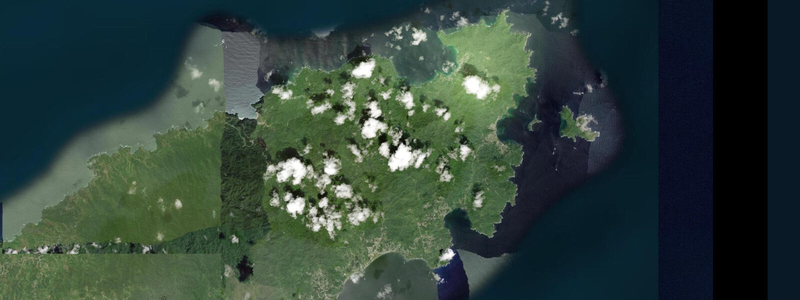
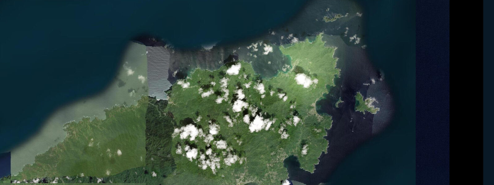
Speyside is a small fishing village on the Atlantic-facing northeastern coast of Tobago, at the end of the coastal road from Scarborough — a 40-kilometre drive that crosses the island's forested spine at the Roxborough-Bloody Bay road and descends to the Atlantic shore through forest that is part of the Main Ridge Forest Reserve, designated in 1776 as the first protected rainforest in the Western Hemisphere. The village is compact: a few streets of brightly painted houses on the hillside above the bay, a handful of guesthouses, two dive operators, and a concrete jetty from which the boat transfers to Little Tobago Island depart. The bay faces northeast into the Columbus Channel and the Atlantic; swell arrives from this direction year-round, driven by the northeast trade winds, and the tidal current through the Little Tobago Channel runs with more energy than the Caribbean-side waters.
6 metres — the Atlantic exposure does not significantly amplify the tidal signal in this part of the Caribbean. The dive sites at Speyside are ranked among the top in the entire eastern Caribbean by multiple independent surveys. The manta ray cleaning station in the Little Tobago Channel is the primary draw: Atlantic manta rays (Mobula birostris) visit cleaning stations on the reef where smaller fish remove parasites and dead tissue from the mantas' gill slits and skin.
The cleaning stations off Speyside are active year-round, with the highest manta density from December through May when the trade wind upwelling is strongest and plankton concentrations are highest. Mantas at Speyside have been documented with wingspan measurements of 4 to 5 metres. The reef structure in the Speyside area includes brain coral heads of extraordinary age and size — individual colonies that are several centuries old, their surfaces furrowed by decades of growth into forms that occupy sections of reef floor 2 to 3 metres across.
The current in the Little Tobago Channel enables a drift dive from the north end of the channel, covering 800 metres of reef in a single dive without effort. Most Speyside dives are conducted as 2-tank boat dives from the jetty; dive certification to Open Water level is required. The manta dive sites are typically intermediate — appropriate for certified divers comfortable with 15 to 25 metre depth and moderate current.
Little Tobago Island itself (also called Bird of Paradise Island historically) is a seabird colony reserve: red-billed tropicbirds, frigatebirds, boobies, and the brown booby in numbers. The forest on the island was historically used to introduce birds of paradise from New Guinea for commercial feather trade (a practice ended by law in the 20th century); no birds of paradise remain but the name persists in the literature. Predictions on this page come from Open-Meteo Marine, a gridded global ocean model.
3 metres on height — model-derived, not from a local gauge. The Institute of Marine Affairs and the Trinidad and Tobago Hydrographic Survey Office are the domestic reference authorities.
Tide questions about Speyside
Quick answers to the most common questions about tide times, range, and water access at Speyside.
Where can I see manta rays at Speyside?
The manta ray cleaning stations are in the Little Tobago Channel and at Batteaux Bay reef near Speyside. Both sites are reached by 5 to 15 minute boat transfer from the Speyside jetty. Mantas visit the cleaning stations throughout the year but are most reliably encountered from December through May when the trade wind upwelling drives plankton concentrations and the mantas feed heavily. Sightings are not guaranteed on any given dive, but Speyside has one of the most consistent manta encounter records in the Caribbean. The dive is conducted at 10 to 20 metres depth. Book through one of the two dive operators in the village; both run 2-tank morning boat dives.
Is Speyside suitable for non-divers?
The snorkelling in the shallower reef sections near the jetty and at the inside of the Little Tobago Channel is productive — fish density and diversity is high, and occasional manta ray encounters in the shallower sections do occur, though they are less predictable than from a dive. The boat trip to Little Tobago Island for seabird watching is accessible to anyone comfortable on a small open boat; the island's forest trail and the seabird colonies are the draw. The village itself is quiet and the hillside walk above the bay gives a panoramic view of the coast. Speyside is not a beach resort — the local beach is small and the water is Atlantic-active.
How old are the brain coral heads at Speyside?
The large brain coral colonies (Diploria labyrinthiformis and Colpophyllia natans) on the Speyside reef grow at approximately 3 to 7 millimetres per year. The largest individual colonies in the Speyside area measure 2 to 3 metres in diameter, implying ages of 300 to 600 years or more for the largest specimens. These colonies predate European settlement of Tobago and represent a continuous living record of Caribbean reef conditions across centuries. The brain coral heads are the dominant visual feature of the reef structure below 10 metres and provide shelter for a diverse fish community in the crevices of their surfaces.
What is the Main Ridge Forest Reserve near Speyside?
The Main Ridge Forest Reserve was established by the British colonial government in 1776 as a protected watershed forest — the first such legislative protection of tropical forest in the Western Hemisphere. The reserve covers 3,958 hectares of the ridge spine of Tobago, from which streams drain to both the Caribbean and Atlantic coasts. The forest is humid montane in character: dense canopy, high epiphyte load, diverse bird life including hummingbirds, motmots, and the white-tailed sabrewing (a hummingbird with a restricted range). The Gilpin Trace trail from Roxborough is the main access point. The forest drains to the Speyside coast through the Speyside River and several smaller streams.
How do I get to Speyside from Crown Point?
The drive from Crown Point to Speyside is approximately 40 kilometres by the main road through Scarborough and over the Roxborough-Bloody Bay mountain road (the direct trans-island route), or longer via the coastal road through Charlotteville. Driving time is 1 to 1.5 hours depending on the route and road conditions. The Roxborough-Bloody Bay road is steep and winding but paved and well maintained. Route taxis cover the route but with variable frequency; the most reliable service is from Scarborough rather than Crown Point. Several Crown Point operators offer Speyside dive day trips with transport included.
7-day tide table — Speyside
Heights relative to MSL. Predictions: Open-Meteo Marine (MeteoFrance SMOC, 0.08° grid) — heights relative to MSL (not chart datum / LAT). Model-derived.
| Day | Type | Time | Height |
|---|---|---|---|
| Sat 04 Jul | High | 05:12 | 0.4m |
| Low | 11:48 | -0.3m | |
| High | 18:07 | 0.3m | |
| Low | 23:55 | -0.1m | |
| Sun 05 Jul | High | 05:52 | 0.3m |
| Low | 12:16 | -0.3m | |
| High | 18:40 | 0.3m | |
| Mon 06 Jul | Low | 00:47 | -0.2m |
| High | 06:40 | 0.3m | |
| Low | 13:04 | -0.3m | |
| High | 19:22 | 0.3m | |
| Tue 07 Jul | Low | 01:42 | -0.2m |
| High | 07:47 | 0.2m | |
| Low | 13:47 | -0.2m | |
| High | 20:12 | 0.4m | |
| Wed 08 Jul | Low | 03:00 | -0.2m |
| High | 09:00 | 0.2m | |
| Low | 14:50 | -0.1m | |
| High | 21:12 | 0.4m | |
| Thu 09 Jul | Low | 04:12 | -0.3m |
| High | 10:20 | 0.1m | |
| Low | 15:45 | -0.1m | |
| High | 22:20 | 0.4m | |
| Fri 10 Jul | Low | 05:21 | -0.3m |
| High | 12:00 | 0.2m | |
| Low | 16:55 | -0.1m | |
| High | 19:00 | 0.0m |