Port Antonio, Jamaica tide times
Port Antonio, Jamaica tide forecast — heights relative to MSL.
Today's tide times for Port Antonio, Jamaica
Tide times at Port Antonio, Jamaica on Saturday, 4 July 2026: first low tide at 12:00am, first high tide at 04:10am. Sunrise 10:34am, sunset 11:45pm.
Tide chart for Port Antonio, Jamaica
24-hour cosine-interpolated curve around the present moment. Heights relative to MSL. Predictions: Predictions: Open-Meteo Marine (MeteoFrance SMOC, 0.08° grid).
Sun, moon and conditions on Sat 04 Jul
Snapshot at build time — refreshes daily. Sea state from Open-Meteo Marine.
Highs and lows next 7 days
Every predicted high and low for the next week, with the daily tidal coefficient (0–120; higher = bigger swing, > 95 means stronger currents).
Other spots nearby
The three closest curated TideTurtle locations to Port Antonio, Jamaica, measured by great-circle distance.
Today's solunar windows
Solunar tradition: major periods are the ≈3h windows around moon transit and opposition; minor are ≈2h around moonrise and moonset. Pair with the local tide stage and wind for the best read.
About tides at Port Antonio, Jamaica
A short guide to the coastline at Port Antonio, Jamaica — geography, sea state, and what the tide is actually doing under your feet.
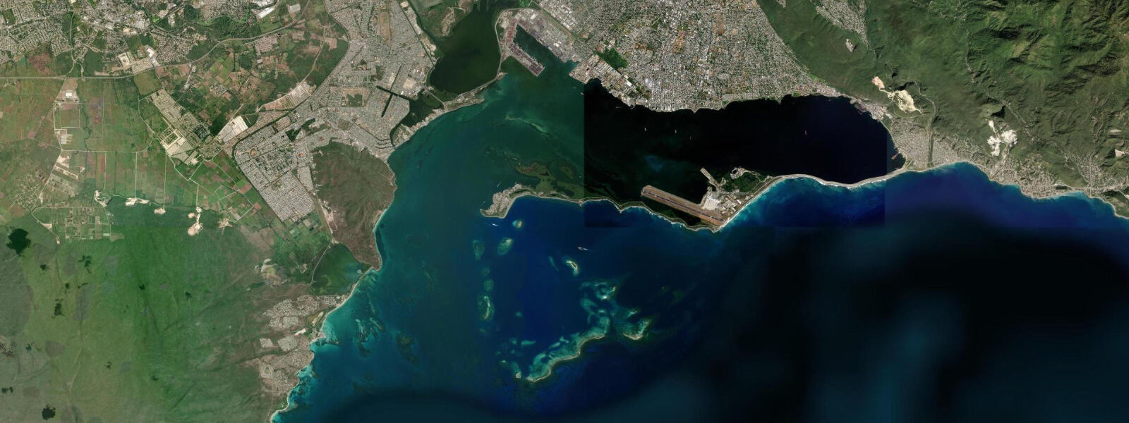
Port Antonio sits on the Titchfield Peninsula, a narrow strip of land dividing the West Harbour from the Navy Island anchorage on Jamaica's northeast coast. The town was Jamaica's first significant tourist destination — the United Fruit Company's banana trade in the early twentieth century brought a Boston-to-Port Antonio steamship route and its passengers, who arrived before Montego Bay had a single hotel. The tourism died back with the banana trade, and Port Antonio developed the languid, slightly faded character that defines it today: a genuine Jamaican working town with colonial-era architecture, a proper fish market, and the Blue and John Crow Mountains visible directly behind.
The tidal regime at Port Antonio is Caribbean mixed semidiurnal, microtidal: spring range typically 0.4 to 0.6 metres. The Titchfield Peninsula configuration creates a semi-enclosed double harbour; the tidal flushing keeps both harbours relatively clear. The West Harbour is the working port area with the fishing pier and the banana loading quay; the East Harbour (directly east of the Titchfield Peninsula) is the yacht anchorage used by the charter fleet that visits the Portland Bight area.
Blue Lagoon is the landmark that most visitors come to see — a deep, roughly circular flooded cenote connected to the sea by an underwater channel, located 3 kilometres east of Port Antonio at Lannaman's Cove. The lagoon is genuinely striking: deep ultramarine blue in the centre (reportedly 55 metres deep) shading to clear turquoise at the shallow margins, with the Blue Mountains rising behind. The colour difference comes from the thermocline between the cold, denser saltwater that fills the deep basin and the warmer surface layer. Freshwater springs feed the lagoon from the mountain aquifer; the surface layer can be noticeably cooler or warmer than the sea depending on recent rainfall. The lagoon is accessible by road; boat rafts tour it.
Rafting on the Rio Grande — a 12-kilometre, three-hour journey on bamboo rafts poled by professional raftsmen from Berridale to Rafter's Rest near the sea — is one of the few activities on the northeast coast that has operated continuously since the Errol Flynn era. Flynn lived at Navy Island in the 1940s and 1950s and reportedly ran gambling parties attended by the banana trade social set. The Rio Grande raft trip ends at the river mouth near Boundbrook, within walking distance of Port Antonio. The tidal stage affects the condition of the river mouth: at low water the sand bar is exposed and the raft landing is shallow and slow; at high water the approach is easier.
The fish market at the West Harbour pier is one of the better-stocked on Jamaica's northeast coast. Kingfish (wahoo), snapper, parrotfish, and lobster are the primary species. The catch arrives from early morning through to around 10:00; arrive before 08:00 for the full selection. Shore fishing from the pier itself and from the western breakwater produces snapper and small pelagics on the incoming tide.
Tide predictions for Port Antonio come from Open-Meteo Marine, a global gridded ocean model. Accuracy is typically within plus or minus 45 minutes on timing and 0.2 to 0.3 metres on height.
Port Antonio's pace is distinctly different from the resort strips of Ocho Rios and Montego Bay. The town moves at a market-town rhythm; the primary commercial activity is the bus terminal, the produce market, and the fishing pier, not hotels and tour operators. The contrast is stark and intentional among the visitors who seek it out. The northeast coast road from Port Antonio east through Frenchman's Cove, Winnifred Beach, and Boston Bay is one of the most scenic coastal drives in Jamaica, with the Blue Mountains visible above the forest edge for most of the route.
Tide questions about Port Antonio, Jamaica
Quick answers to the most common questions about tide times, range, and water access at Port Antonio, Jamaica.
What is the tide range at Port Antonio?
Caribbean microtidal — mixed semidiurnal, spring range 0.4 to 0.6 metres. Two unequal highs and two unequal lows per day. The semi-enclosed harbour configuration means the tidal current inside West and East Harbours is gentle; flushing is adequate but sluggish on neap tides. The Blue Lagoon, connected to the sea by an underwater channel, responds to the tidal cycle with a subtle shift in water level — the deep saltwater layer below the thermocline fluctuates with the tide while the surface freshwater layer responds less directly. Tide predictions come from Open-Meteo Marine — accuracy within plus or minus 45 minutes on timing and 0.2 to 0.3 metres on height.
What is Blue Lagoon and how do I get there from Port Antonio?
Blue Lagoon is a deep flooded cenote connected to the sea, located approximately 3 kilometres east of Port Antonio at Lannaman's Cove on the A4 coast road. It is a roughly circular basin, reportedly 55 metres at its deepest, with a vivid ultramarine centre that transitions to clear turquoise at the margins. The colour difference is caused by the thermocline between cold dense saltwater in the deep basin and the warm surface layer, plus freshwater spring input from the Blue Mountains aquifer. A small resort and a boat landing are at the lagoon; bamboo raft tours of the lagoon depart regularly through the morning. Swimming in the shallows is permitted; the deep central section has restricted access.
How do I book the Rio Grande raft trip from Port Antonio?
The Rio Grande bamboo raft trip is a 12-kilometre journey from Berridale to Rafter's Rest, taking 2.5 to 3.5 hours depending on river level. Raftsmen are licensed operators working out of the Jamaica Tourist Board framework. Trips are arranged at the Rafter's Rest landing near Port Antonio (where transport back is waiting) or through accommodation in town. The trip operates daily from approximately 09:00 to 14:00; departure is timed so the river is in good condition. The river level and mouth condition at the landing are affected by rainfall upstream and the tide — high water at the river mouth produces the cleaner landing. Budget JMD 3,000–4,500 per raft (two persons), subject to change.
Is Port Antonio worth visiting if I'm based in Montego Bay?
Yes, as an overnight or multi-day trip rather than a day return. Port Antonio is roughly 230 kilometres from Montego Bay by road — a 4 to 5 hour drive across the island via Kingston, or the northern coast road which adds time but scenery. The one-day round trip is theoretically possible but leaves little time in the town. The Blue Lagoon, Rio Grande raft trip, and Boston Bay jerk pits (25 km east) each warrant separate time. Port Antonio's character — a working Jamaican town without resort infrastructure — is genuinely different from the north coast resort strip and rewards a slower itinerary.
Where is the best swimming near Port Antonio?
Navy Island, a short water taxi ride from the West Harbour pier, has a calm sandy beach with clear water sheltered from the Atlantic swell. The lagoon margins at Blue Lagoon are swimmable in the shallower zones. Frenchman's Cove, 10 kilometres east of Port Antonio, has a small beach where a freshwater river meets the sea, with calm conditions in a rocky cove. The West Harbour itself is a working port and not suitable for swimming. Winnifred Beach, approximately 12 kilometres east, is a community-managed free public beach with consistently good conditions.
7-day tide table — Port Antonio, Jamaica
Heights relative to MSL. Predictions: Open-Meteo Marine (MeteoFrance SMOC, 0.08° grid) — heights relative to MSL (not chart datum / LAT). Model-derived.
| Day | Type | Time | Height |
|---|---|---|---|
| Sat 04 Jul | Low | 00:00 | 0.5m |
| High | 04:10 | 0.7m | |
| Sun 05 Jul | — | ||
| Mon 06 Jul | Low | 12:10 | 0.4m |
| High | 19:00 | 0.6m | |
| Tue 07 Jul | Low | 00:00 | 0.5m |
| High | 05:50 | 0.6m | |
| Low | 13:00 | 0.4m | |
| High | 20:00 | 0.6m | |
| Wed 08 Jul | — | ||
| Thu 09 Jul | — | ||
| Fri 10 Jul | Low | 05:00 | 0.5m |
| High | 23:00 | 0.7m | |