Lance aux Épines, Grenada tide times
Lance aux Épines, Grenada tide forecast — heights relative to MSL.
Today's tide times for Lance aux Épines, Grenada
Tide times at Lance aux Épines, Grenada on Saturday, 4 July 2026: first low tide at 11:45am, first high tide at 06:10pm, second low tide at 11:50pm. Sunrise 05:47am, sunset 06:35pm.
Tide chart for Lance aux Épines, Grenada
24-hour cosine-interpolated curve around the present moment. Heights relative to MSL. Predictions: Predictions: Open-Meteo Marine (MeteoFrance SMOC, 0.08° grid).
Sun, moon and conditions on Sat 04 Jul
Snapshot at build time — refreshes daily. Sea state from Open-Meteo Marine.
Highs and lows next 7 days
Every predicted high and low for the next week, with the daily tidal coefficient (0–120; higher = bigger swing, > 95 means stronger currents).
Other spots nearby
The three closest curated TideTurtle locations to Lance aux Épines, Grenada, measured by great-circle distance.
Today's solunar windows
Solunar tradition: major periods are the ≈3h windows around moon transit and opposition; minor are ≈2h around moonrise and moonset. Pair with the local tide stage and wind for the best read.
Cycle dates near Lance aux Épines, Grenada
Next spring tide on Sat 04 Jul (range 0.3m). Next neap on Mon 06 Jul.
Spring tides cluster around new and full moons (biggest swings). Neap tides land on quarter moons (smallest swings). See the spring tide and neap tide glossary entries for the why.
About tides at Lance aux Épines, Grenada
A short guide to the coastline at Lance aux Épines, Grenada — geography, sea state, and what the tide is actually doing under your feet.
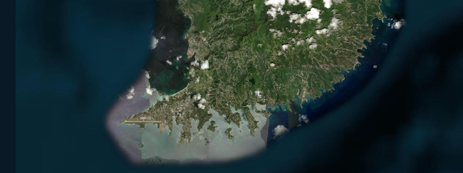
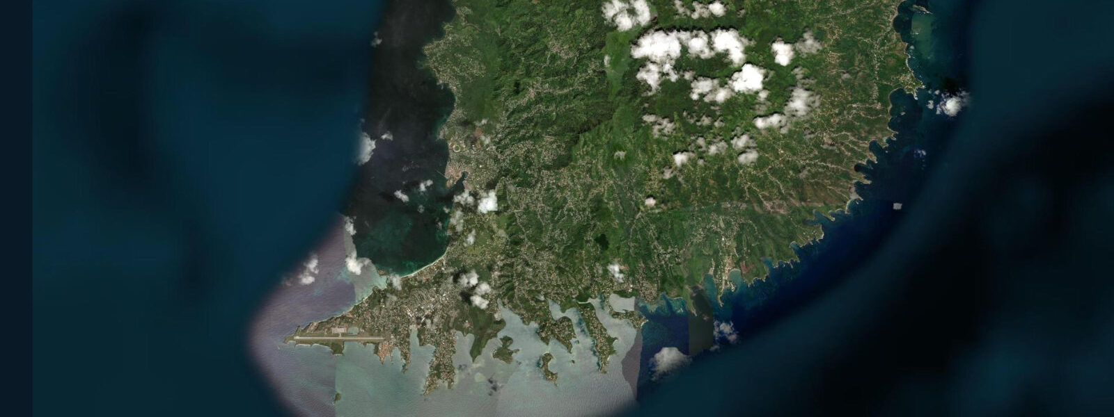
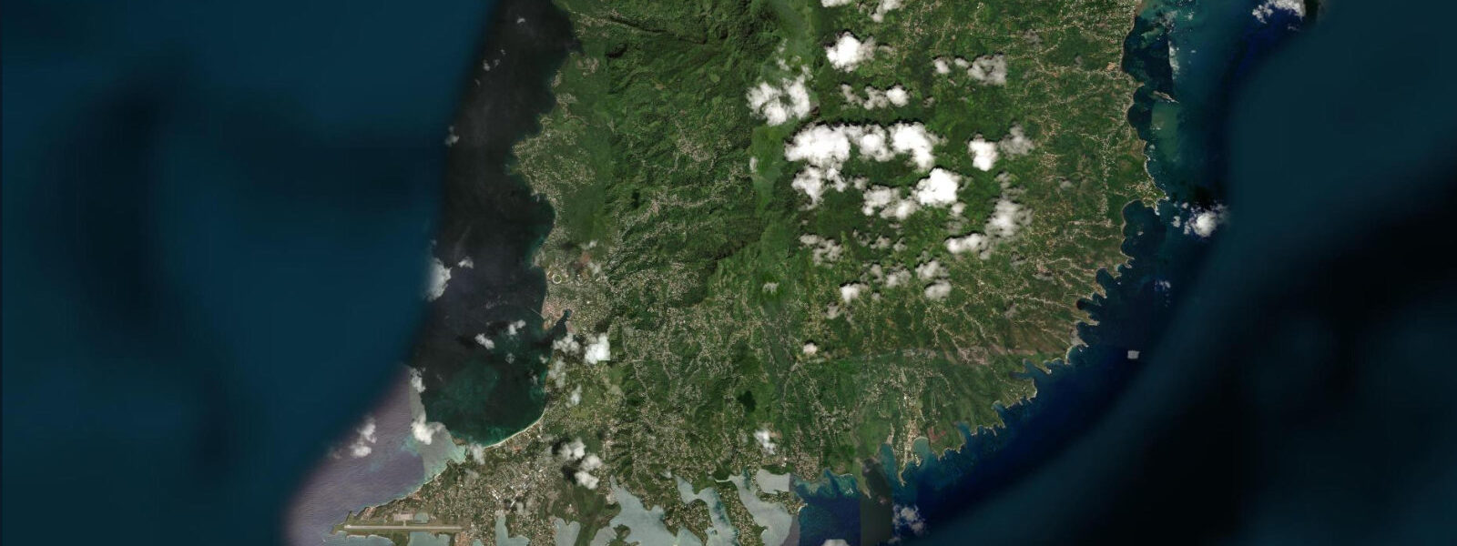
Lance aux Épines occupies the southwestern tip of Grenada's main island, a low limestone peninsula that extends into the calm water between the main island and the outer reef. The name is French — it translates approximately as 'point of thorns' — and reflects the island's history as a French colony before British rule. The peninsula today is a mix of private villas, the Calabash Boutique Hotel, and the Prickly Bay marina complex, one of the primary yacht services facilities in the southern Caribbean.
Prickly Bay, on the northern side of the peninsula, is the enclosed anchorage that serves the yacht fleet; it is sheltered from the Atlantic swell by the peninsula and reef to the south and from the trade wind by the headland to the northeast. The southern side of the peninsula, facing the open water between Grenada and Calivigny Island offshore, is the beach side — a succession of small sandy beaches and rocky points accessible from the road or by foot. S.
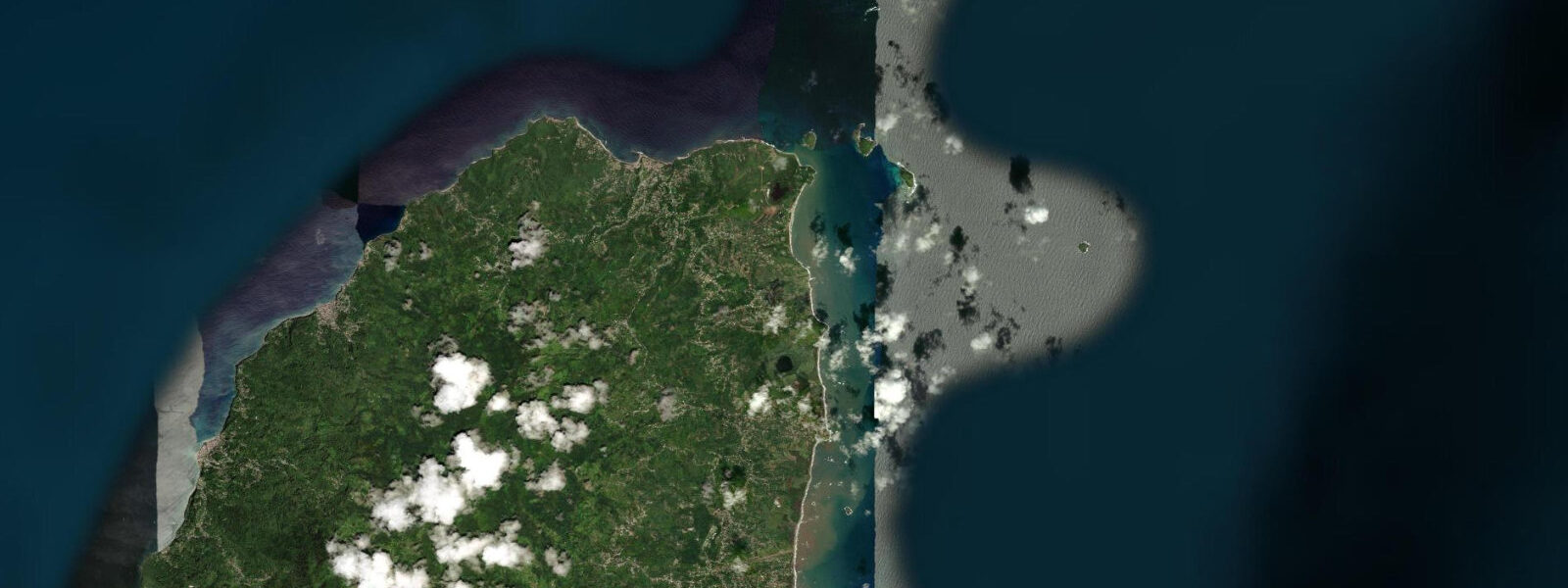
Special Operations Forces training facility from the 1983 invasion; the reef between the island and the mainland is the principal snorkelling site in the area, accessible by kayak or boat from the beach or the marina. The coral coverage on the Calivigny reef is reasonable by southern Caribbean standards — better than the reef fringe immediately around the southern peninsula because Calivigny's outer position catches cleaner water. Turtles are regularly sighted at Calivigny; hawksbill turtles forage on the reef and occasionally nest on the small beach on the island's northern side.
5 metres. For divers and snorkellers the practical planning input is the morning calm window — the trade wind from the northeast builds by 10:00 to 11:00 and produces a cross-chop on the open south-facing water by early afternoon that makes snorkelling significantly less comfortable. The 1- to 2-hour window after sunrise on a calm morning typically offers the best visibility and the most comfortable surface conditions.
Kayakers from the beach or marina paddling the 800 metres to Calivigny plan to depart before 09:00 and return before the wind builds; the return leg into a 15-knot trade takes considerably more effort than the downwind outbound run. Shore-based photographers on the southern beach get the early morning light directly across the water toward Calivigny and the offshore horizon; the palms above the beach at the Calabash provide a foreground. 3 metres on height.
Tide questions about Lance aux Épines, Grenada
Quick answers to the most common questions about tide times, range, and water access at Lance aux Épines, Grenada.
What is the snorkelling like at Lance aux Épines and Calivigny?
The reef fringe immediately off the Lance aux Épines southern beaches is moderate; the better snorkelling is at the Calivigny Island reef, roughly 800 metres offshore, where the coral coverage is denser and the visibility cleaner. The reef runs 2 to 6 metres depth on the island's northern and western faces. Hawksbill turtles forage here regularly. Visibility is typically 10 to 20 metres on a calm morning and drops in the afternoon as the trade wind builds surface chop. Access is by kayak from the beach — the crossing takes 15 to 20 minutes in calm conditions — or by water taxi from Prickly Bay marina.
What is Prickly Bay marina?
Prickly Bay is the enclosed anchorage on the northern side of the Lance aux Épines peninsula and one of the principal yacht bases in the southern Caribbean. The marina complex provides haul-out, fuel, water, provisioning, and chandlery services. It is a standard stop on the charter circuit between Trinidad, Grenada, and the Grenadines. The bay anchors a significant year-round cruising community; the anchorage is well-sheltered from the trade wind and the Atlantic swell. The marina operates a fee-based mooring system in the inner bay; outer anchorage positions are available in the standard ways.
What is the tide range at Lance aux Épines?
Caribbean microtidal: spring range roughly 0.3 to 0.5 metres, mixed semidiurnal. Two unequal highs and two unequal lows each day. At this scale the tide state has minimal effect on beach or reef access; the primary planning inputs are the morning glass window before the trade builds and the swell forecast from the Atlantic side of the island, which can wrap around the southern tip during large northeast swells and produce unexpected surge at the southern beaches.
Where do the tide predictions come from?
Open-Meteo Marine, a free gridded global ocean model. Accuracy is typically within plus or minus 45 minutes on timing and 0.2 to 0.3 metres on height. For Grenada, the Carenage harbour in St. George's on the west coast is the reference port for which harmonic data is available from the Caribbean Meteorological Organisation regional network; Lance aux Épines on the southern tip runs on a similar tidal phase with minimal offset.
Is this safe to use for navigation?
No. The approaches to Prickly Bay and the passage between Lance aux Épines and Calivigny Island require awareness of the reef positions and the depth contours in the southern Grenada approaches. For vessel navigation, use the current Eastern Caribbean charts from the Caribbean Hydrographic Institute and consult the OECS Notices to Mariners. Open-Meteo Marine gridded predictions are not authoritative navigational data.
7-day tide table — Lance aux Épines, Grenada
Heights relative to MSL. Predictions: Open-Meteo Marine (MeteoFrance SMOC, 0.08° grid) — heights relative to MSL (not chart datum / LAT). Model-derived.
| Day | Type | Time | Height |
|---|---|---|---|
| Sat 04 Jul | Low | 11:45 | -0.1m |
| High | 18:10 | 0.2m | |
| Low | 23:50 | 0.1m | |
| Sun 05 Jul | High | 05:15 | 0.3m |
| Low | 12:06 | -0.1m | |
| High | 18:45 | 0.3m | |
| Mon 06 Jul | Low | 00:50 | 0.1m |
| High | 06:10 | 0.2m | |
| Low | 12:45 | -0.0m | |
| High | 19:15 | 0.3m | |
| Tue 07 Jul | Low | 02:00 | 0.1m |
| High | 07:10 | 0.2m | |
| Low | 13:10 | 0.0m | |
| High | 20:00 | 0.3m | |
| Wed 08 Jul | Low | 14:00 | 0.1m |
| High | 20:54 | 0.3m | |
| Thu 09 Jul | Low | 05:00 | -0.1m |
| High | 21:42 | 0.4m | |
| Fri 10 Jul | Low | 06:00 | -0.1m |
| High | 19:00 | 0.2m |