Ua Pou tide times
Ua Pou tide forecast — heights relative to MSL.
Today's tide times for Ua Pou
Tide times at Ua Pou on Friday, 3 July 2026: first low tide at 02:00pm, first high tide at 05:13pm, second low tide at 11:40pm. Sunrise 05:36am, sunset 05:11pm.
Tide chart for Ua Pou
24-hour cosine-interpolated curve around the present moment. Heights relative to MSL. Predictions: Predictions: Open-Meteo Marine (MeteoFrance SMOC, 0.08° grid).
Sun, moon and conditions on Fri 03 Jul
Snapshot at build time — refreshes daily. Sea state from Open-Meteo Marine.
Highs and lows next 7 days
Every predicted high and low for the next week, with the daily tidal coefficient (0–120; higher = bigger swing, > 95 means stronger currents).
Other spots nearby
The three closest curated TideTurtle locations to Ua Pou, measured by great-circle distance.
Today's solunar windows
Solunar tradition: major periods are the ≈3h windows around moon transit and opposition; minor are ≈2h around moonrise and moonset. Pair with the local tide stage and wind for the best read.
Cycle dates near Ua Pou
Last spring tide on Fri 03 Jul (range 0.9m). Next spring tide on Thu 09 Jul (range 1.1m). Next neap on Tue 07 Jul.
Spring tides cluster around new and full moons (biggest swings). Neap tides land on quarter moons (smallest swings). See the spring tide and neap tide glossary entries for the why.
About tides at Ua Pou
A short guide to the coastline at Ua Pou — geography, sea state, and what the tide is actually doing under your feet.
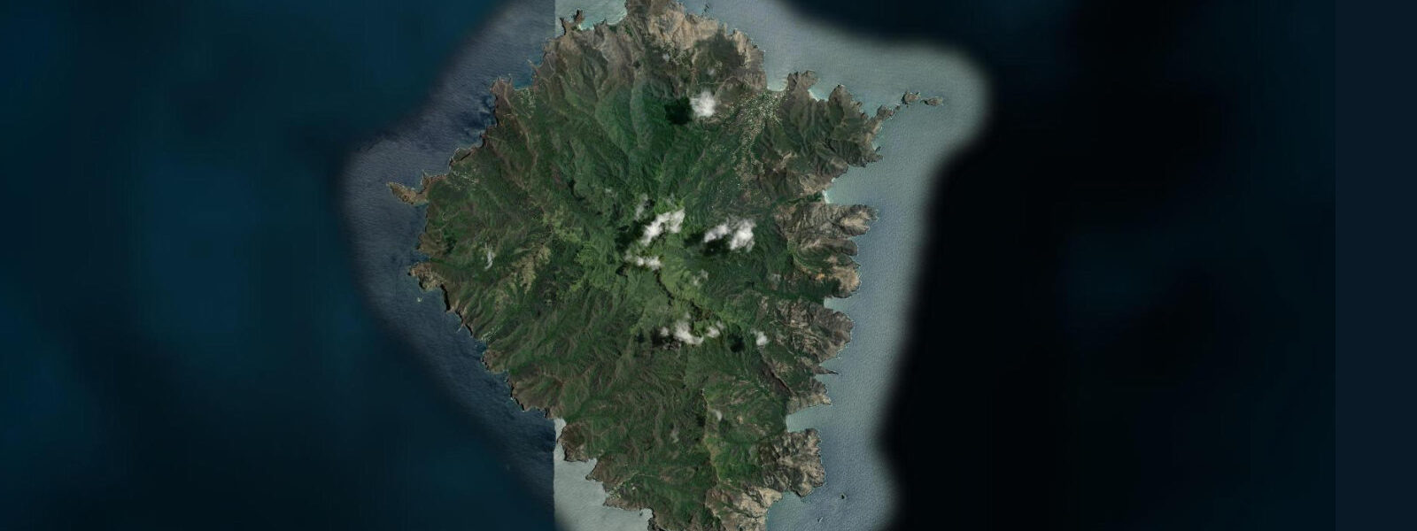
Ua Pou is the third-largest of the Marquesas Islands, lying approximately 70 kilometres southwest of Nuku Hiva. The island's most immediately striking feature is visible from the sea at a distance of 30 kilometres: twelve basalt phonolite pinnacles — the eroded cores of ancient volcanic vents — rise from the caldera and pierce the cloud layer, the tallest reaching 1,232 metres. These pinnacles, called obelisks by early European navigators, give Ua Pou a profile unlike any other Pacific island and have been the subject of legend and navigation reference since the island was first settled by Polynesians approximately 1,500 years ago.
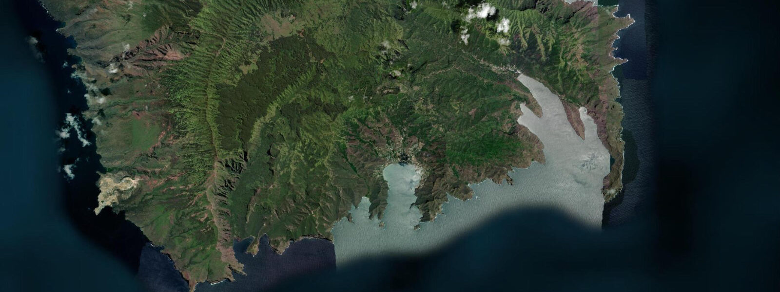
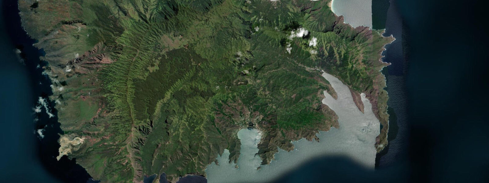
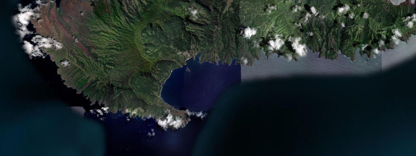
Hakahau Bay, on the northern coast, is the main settlement and administrative centre of Ua Pou. The bay is oriented north, giving it direct exposure to north swells during Northern Hemisphere winter storm seasons. The inner anchorage is protected by a small breakwater, and the town dock handles the Aranui 5 cargo deliveries that are a lifeline for the island's supplies. The Gendarmerie and Air Tahiti check-in for the twice-weekly flights to Nuku Hiva are both in Hakahau.
The tidal regime at Ua Pou is the same diurnal-dominant system as the other Marquesas islands: spring range approximately 0.8 to 1.0 metres, with a pronounced diurnal inequality. The island lacks a barrier reef — the volcanic terrain drops steeply to deep water on all sides — so the marine environment is a direct deepwater interface rather than a lagoon system. The underwater terrain mirrors the surface: abrupt volcanic walls and pinnacles, dropping to 200 to 400 metres within a short distance from shore. The reefs around Ua Pou are largely undocumented by systematic survey and essentially undived; marine biologists who have visited informally report rich coral communities on the submerged wall sections.
The pinnacles that define the island's profile from sea level become accessible via the road and trail network inland from Hakahau. The walk to the base of the nearest pinnacles (Poumaka, 1,030 metres) takes 3 to 4 hours from the town and requires a guide — the trails are not maintained for visitor navigation and the terrain is serious mountain ground above the treeline. The pinnacles are often wreathed in cloud from mid-morning onward; departing at dawn gives the best chance of clear views from the summit approach.
The Marquesan flower stone — a phonolite with a natural flower-like crystal pattern formed by the rock's unique mineral composition — is found on Ua Pou and used by local artisans for jewellery and carving. The stones are found on the island's beaches and river beds; they have been traded as curiosities by passing vessels since the 19th century. Small carvings in flower stone are available in Hakahau and are the characteristic Ua Pou souvenir.
Fishing around Ua Pou targets the same pelagic species as elsewhere in the Marquesas — yellowfin tuna, mahi-mahi, and wahoo — accessible by trolling in the blue water beyond the submerged reef walls. Bottom fishing on the submerged pinnacles in 30 to 80 metres of water is not widely practiced due to the depth, but the pinnacle structure in this depth range is likely to hold grouper and snapper in significant numbers. Charter fishing is not formally organised on Ua Pou; connections are made through accommodation and the fishing community at Hakahau.
Predictions on this page come from Open-Meteo Marine, a gridded global ocean model. Accuracy is typically within plus or minus 45 minutes on timing and 0.2 to 0.3 metres on height — model-derived, not from a local gauge. The local authority for tide information in French Polynesia is the Service Hydrographique et Océanographique de la Marine (SHOM).
Tide questions about Ua Pou
Quick answers to the most common questions about tide times, range, and water access at Ua Pou.
What are the phonolite pinnacles of Ua Pou?
The twelve pinnacles that rise from the Ua Pou caldera are the eroded cores of ancient volcanic vents — points where magma, harder than the surrounding rock, forced its way to the surface. As the surrounding softer volcanic material eroded over millions of years, these harder cores were left standing. The rock type is phonolite (also called clinkstone) — a fine-grained volcanic rock that rings when struck. The tallest pinnacle reaches 1,232 metres. They have been navigation landmarks for Polynesian sailors for approximately 1,500 years and for European vessels since the Marquesas were charted in the 18th century.
What are Marquesan flower stones?
Flower stones are pieces of phonolite with a natural crystal pattern that resembles a stylised flower — formed during the rock's cooling and solidification by the arrangement of feldspar and other mineral crystals within the phonolite matrix. The pattern is unique to the phonolite of Ua Pou and a few other Marquesan volcanic formations. The stones are found on beaches and riverbeds on Ua Pou and have been collected by passing vessels since the 19th century. Local artisans in Hakahau carve flower stone into jewellery pendants and small figures. These are the characteristic Ua Pou souvenir and are sold at the town market.
How do I get to Ua Pou?
By Air Tahiti from Nuku Hiva — approximately 20 minutes — on twice-weekly services. Air Tahiti also operates occasional direct services from Papeete. By sea: the Aranui 5 cargo-cruise vessel calls at Hakahau on its Marquesas circuit. Voyaging yachts call at Hakahau on the inter-island circuit within the Marquesas. The anchorage at Hakahau Bay is open to north swell in Northern Hemisphere winter — check the weather window before entry. The inner anchorage inside the breakwater is more protected but has limited room.
What is the diving or snorkelling like around Ua Pou?
The reefs around Ua Pou are largely undocumented — there is no established dive industry on the island, and systematic surveys have not been published. The underwater terrain is volcanic wall and submerged pinnacle, dropping steeply from the surface to 200+ metres. Informal reports from visiting divers and marine biologists indicate rich coral communities on the wall sections in 10 to 40 metres. Snorkelling from the town beach at Hakahau in calm conditions shows the upper reef community in 2 to 6 metres. No dive operators are based on Ua Pou; visiting divers bring their own equipment and dive with local boat support arranged informally.
What is the tidal range at Ua Pou?
Spring tidal range at Ua Pou is approximately 0.8 to 1.0 metres, with a predominantly diurnal regime and a pronounced diurnal inequality — the same tidal system as the other Marquesas islands. The island lacks a barrier reef, so the marine interface is directly with deep ocean; tidal height variation of less than 1 metre is not a significant operational constraint for the vessels using the Hakahau anchorage. Predictions here come from Open-Meteo Marine (±45 minutes on timing, ±0.3 m on height). Not for navigation; consult SHOM tide tables for Marquesan reference stations.
8-day tide table — Ua Pou
Heights relative to MSL. Predictions: Open-Meteo Marine (MeteoFrance SMOC, 0.08° grid) — heights relative to MSL (not chart datum / LAT). Model-derived.
| Day | Type | Time | Height |
|---|---|---|---|
| Fri 03 Jul | Low | 14:00 | 0.5m |
| High | 17:13 | 1.0m | |
| Low | 23:40 | 0.1m | |
| Sat 04 Jul | High | 05:36 | 0.8m |
| Low | 11:35 | 0.1m | |
| High | 17:57 | 1.0m | |
| Sun 05 Jul | Low | 00:24 | 0.1m |
| High | 06:23 | 0.8m | |
| Low | 12:18 | 0.1m | |
| High | 18:43 | 1.0m | |
| Mon 06 Jul | Low | 01:10 | 0.1m |
| High | 07:16 | 0.8m | |
| Low | 13:12 | 0.2m | |
| High | 19:36 | 1.0m | |
| Tue 07 Jul | Low | 02:00 | 0.1m |
| High | 08:16 | 0.9m | |
| Wed 08 Jul | Low | 03:00 | 0.1m |
| High | 09:19 | 0.9m | |
| Thu 09 Jul | Low | 03:55 | 0.0m |
| High | 10:19 | 1.0m | |
| Fri 10 Jul | Low | 04:50 | -0.0m |
| High | 11:20 | 1.0m | |
| Low | 13:00 | 0.9m |