Nuku Hiva, Marquesas Islands tide times
Nuku Hiva, Marquesas Islands tide forecast — heights relative to MSL.
Today's tide times for Nuku Hiva, Marquesas Islands
Tide times at Nuku Hiva, Marquesas Islands on Friday, 3 July 2026: first low tide at 02:00pm, first high tide at 05:15pm, second low tide at 11:40pm. Sunrise 05:36am, sunset 05:12pm.
Tide chart for Nuku Hiva, Marquesas Islands
24-hour cosine-interpolated curve around the present moment. Heights relative to MSL. Predictions: Predictions: Open-Meteo Marine (MeteoFrance SMOC, 0.08° grid).
Sun, moon and conditions on Fri 03 Jul
Snapshot at build time — refreshes daily. Sea state from Open-Meteo Marine.
Highs and lows next 7 days
Every predicted high and low for the next week, with the daily tidal coefficient (0–120; higher = bigger swing, > 95 means stronger currents).
Other spots nearby
The three closest curated TideTurtle locations to Nuku Hiva, Marquesas Islands, measured by great-circle distance.
Today's solunar windows
Solunar tradition: major periods are the ≈3h windows around moon transit and opposition; minor are ≈2h around moonrise and moonset. Pair with the local tide stage and wind for the best read.
Cycle dates near Nuku Hiva, Marquesas Islands
Last spring tide on Fri 03 Jul (range 0.9m). Next spring tide on Thu 09 Jul (range 1.1m). Next neap on Mon 06 Jul.
Spring tides cluster around new and full moons (biggest swings). Neap tides land on quarter moons (smallest swings). See the spring tide and neap tide glossary entries for the why.
About tides at Nuku Hiva, Marquesas Islands
A short guide to the coastline at Nuku Hiva, Marquesas Islands — geography, sea state, and what the tide is actually doing under your feet.
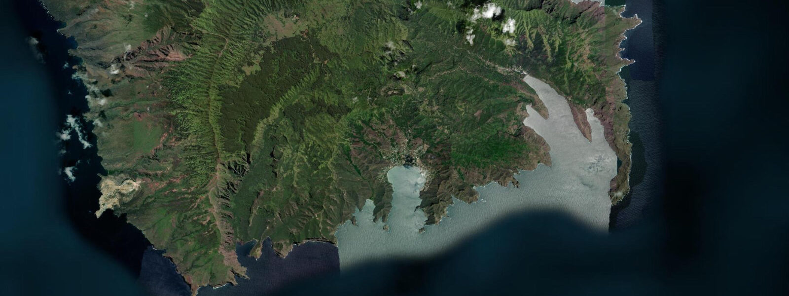
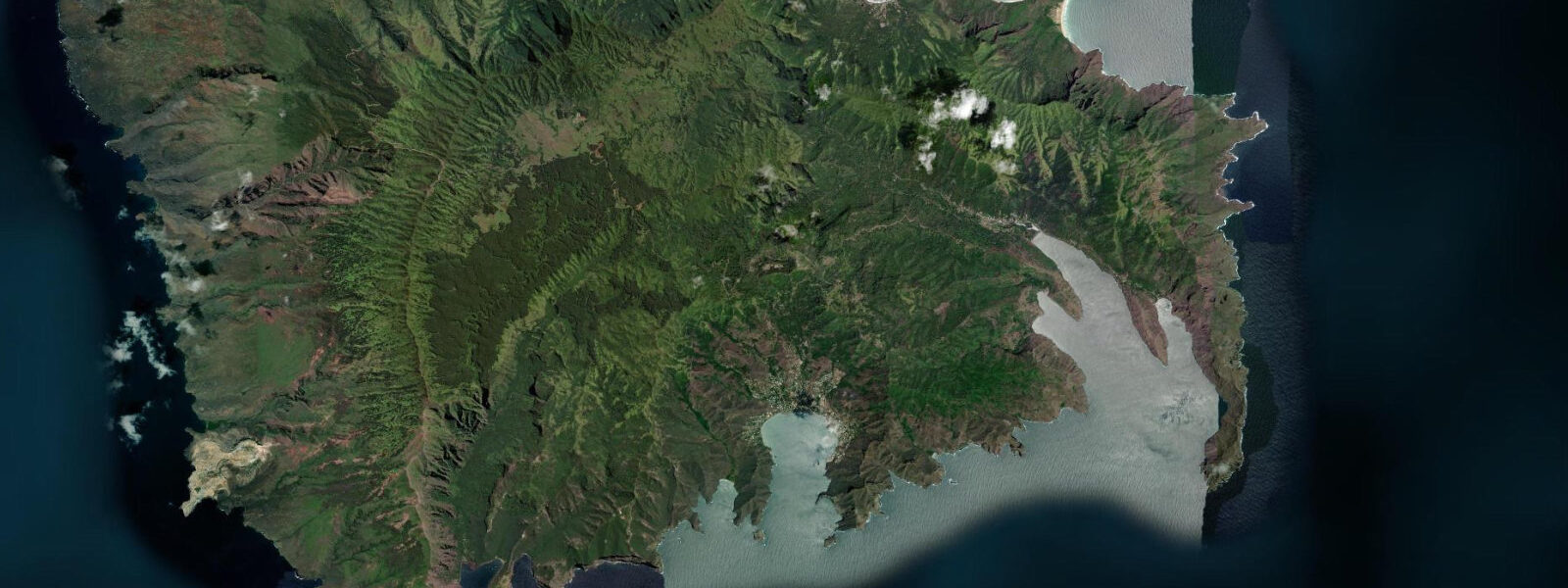
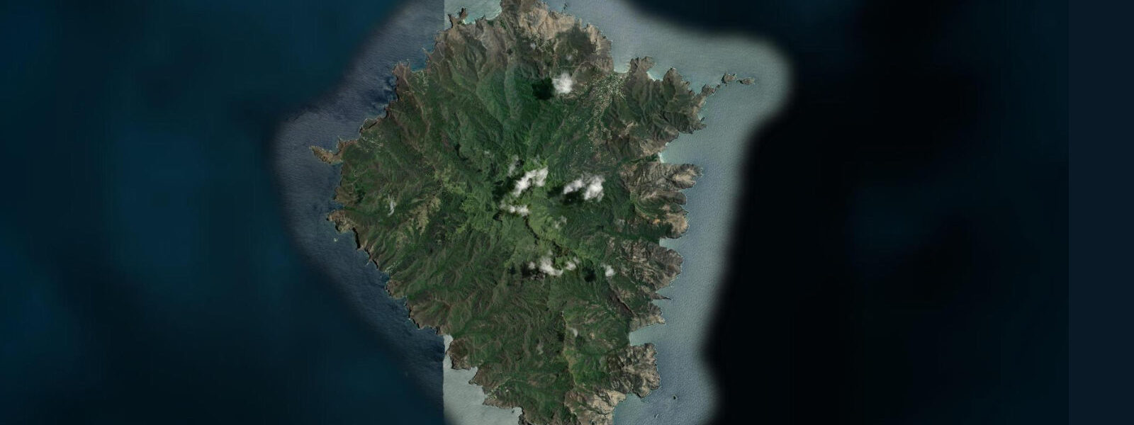
Nuku Hiva is the largest of the Marquesas Islands, and the administrative centre of the northern group, connected to Papeete by a 3-hour Air Tahiti flight and to the other Marquesas islands by the Aranui 5 supply and passenger vessel that completes a 14-day circuit every three weeks. The island is 339 km² of spectacularly eroded volcanic rock: cathedral cliffs above each bay, valleys running like green fingers from the central ridge down to small black-sand or pebble beaches, and the absence of reef in almost every direction giving the sea an unmediated energy not found in lagoon-protected island groups.
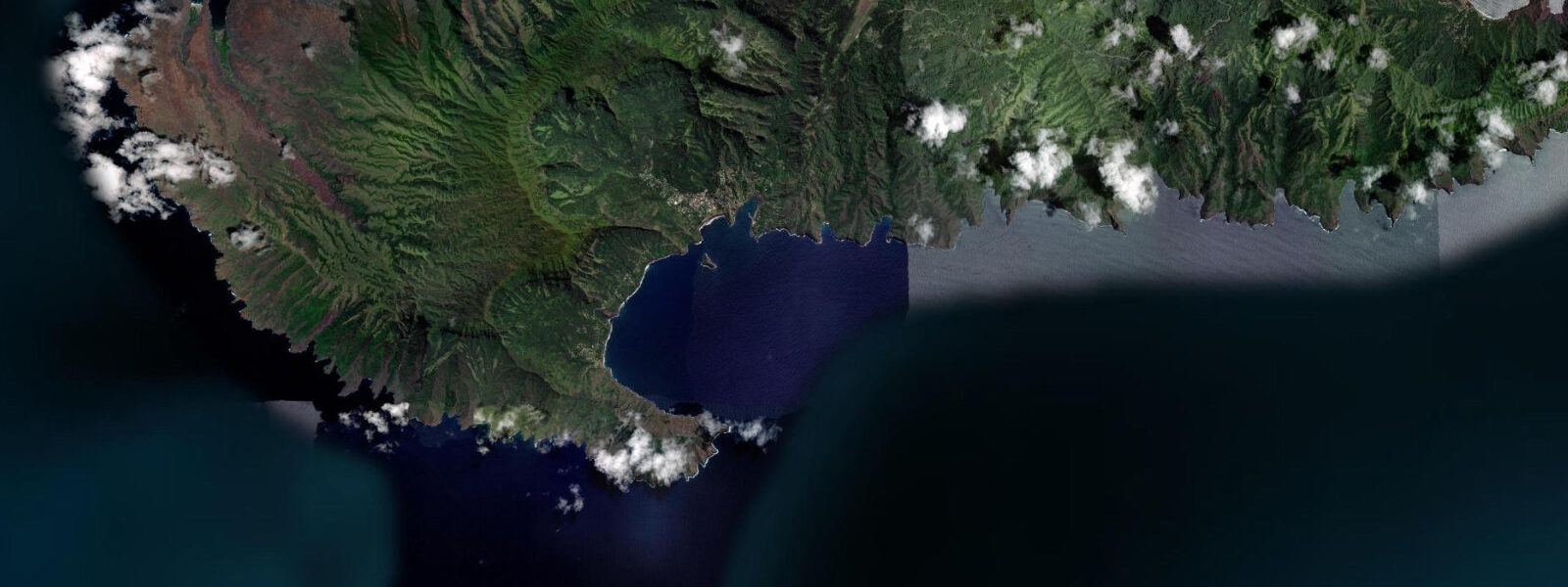
Taiohae Bay on the south coast — a flooded volcanic crater forming a circular anchorage — is the main settlement and the regional administrative centre. The town of Taiohae holds a hospital, a gendarmerie, a market (Tuesday and Friday mornings), a fuel dock, and a Banque Socredo branch. The anchorage handles the 40 to 60 yachts that typically stop here annually on Pacific crossings from Mexico, Panama, and the US west coast. The depth and shelter are excellent; the holding is good sand.
The tidal range at these latitudes in the central Pacific is essentially irrelevant to coastal planning: spring range is under 0.5 m, and the open-ocean swell that arrives from multiple directions simultaneously completely dominates coastal conditions. There is no reef, no lagoon, no intertidal platform of significance anywhere on the island. Beaches are exposed directly to the Pacific; swell wraps around every headland. The planning variable for every water activity — kayaking from the anchorage, swimming at the Anaho Bay beach, surfing at the Tahauku Bay entry — is swell height, swell direction, and wind. The tide prediction is background context.
The archaeological sites are among the most significant in Polynesia. The me'ae (stone temple platforms) and tohua (ceremonial gathering grounds) at Kamuihei, Taiohae valley, and Taipivai — the valley made famous by Herman Melville's novel Typee — survive in various states of forest reclamation. The Kamuihei site near the approach to Hatiheu Bay covers several hectares of stone paving, tiki (carved stone ancestor figures), and breadfruit-terrace walls; it is the largest and most intact complex on the island. The giant Temeiu tiki in Taiohae's baie district, re-erected in the 1990s, is 2.7 m tall and one of the few Marquesan tiki displayed in its original landscape context rather than a museum.
Anaho Bay on the north coast is the island's one exception to the reef-free pattern: a small fringing coral reef develops in the protected eastern section of the bay, making it one of the only places in the Marquesas where surface snorkelling in calm water over live coral is possible. Access from Hatiheu village is by a 3-hour walk over the ridge or by boat from Taiohae. Predictions on this page come from Open-Meteo Marine (gridded model, ±45 min / ±0.2–0.3 m). At under 0.5 m spring range, the tidal prediction is informational only; swell and current govern every activity decision. The Aranui 5 supply and passenger vessel completes a 14-day circuit of the Marquesas every three weeks, calling at each inhabited island. Booking a full circuit on the Aranui is the most immersive way to see all six inhabited Marquesas islands in one trip; the passenger programme includes archaeological site visits, cultural demonstrations, and lectures by Marquesan historians and artists. The vessel accommodates approximately 200 passengers; it sells out for the best months (April through October) several months in advance. Taiohae Bay provides the main anchorage for yachts crossing the Pacific; the harbour is deep and well-sheltered, with the tidal range so small — 0.3 to 0.4 m on spring tides — that anchored vessels see minimal change in waterline depth over the day. This makes tidal timing irrelevant for most activities in the bay itself, but the coastal bluffs and archaeological sites like Tohua Koueva are best visited in the early morning before the afternoon heat builds, independent of tidal state. The waterfall at Vaipo, reportedly among the tallest in the world, is reached by a river valley track; the river crossing near the start of the track can be knee-deep on days following rain regardless of tide. Surfing at Nuku Hiva is a specialist activity; the breaks at Taiohae receive south swell from May through August and the tidal correction is negligible compared to swell direction. Hiking the ridgelines between Taiohae and the north coast valley at Anaho provides dramatic coastal views and a complete change in vegetation; this walk is safe at any tidal state.
Tide questions about Nuku Hiva, Marquesas Islands
Quick answers to the most common questions about tide times, range, and water access at Nuku Hiva, Marquesas Islands.
When is the next high tide at Nuku Hiva?
The hero block shows the next predicted high at Nuku Hiva in Marquesas Time (MART, UTC-9:30). Spring range is under 0.5 m — the tidal signal here is minimal and does not govern any coastal activity decisions. The relevant forecasts for water activities at Nuku Hiva are swell height and direction from a Pacific ocean swell model, and wind. Predictions from Open-Meteo Marine (gridded model, ±45 min / ±0.2–0.3 m). At under 0.5 m spring range, the tidal prediction at Nuku Hiva is background context for yacht anchoring decisions and is not a useful activity-window planning tool; swell and wind govern all coastal activity decisions.
Why is the tidal range so small at Nuku Hiva?
The Marquesas sit in the deep central Pacific, far from any continental shelf or enclosed basin that would amplify the astronomical tide. Spring range is under 0.5 m at these latitudes. The open Pacific swell — arriving from the South Pacific storm track year-round, and from North Pacific storms in winter — is the dominant coastal energy at every bay on the island. Taiohae Bay's anchorage depth and swell exposure matter far more than tidal state for any vessel or water activity planning.
Where do these predictions come from?
Open-Meteo Marine, a free gridded global ocean model, accuracy ±45 min / ±0.2–0.3 m. Météo-France Polynésie publishes tidal predictions for the Marquesas; Taiohae is a listed reference station. At under 0.5 m spring range, the main practical use of the tidal prediction is confirming which direction the current is running in Taiohae anchorage — useful for yacht manoeuvring, not for activity-window planning. Météo-France Polynésie publishes tidal predictions for the Marquesas including Taiohae; the sub-0.5 m range means the main practical use is understanding current direction in the anchorage rather than timing activity windows.
Can I snorkel at Anaho Bay?
Yes. Anaho Bay on the island's north coast has the best-developed coral system in the Marquesas — a fringing reef in the eastern section of the bay, coral at 1 to 6 m depth with hard coral colonies and reasonable visibility on calm days. Access is by a 3-hour ridge walk from Hatiheu village or by boat from Taiohae (1.5 hours by speedboat, more by yacht). Anaho is exposed to north swell from December through March; best conditions are April through November. There is no road access to Anaho.
Is this safe to use for navigation?
No. TideTurtle is a planning tool. Taiohae Bay and the Marquesas Island approaches are exposed to Pacific swell and have unlit rock and reef hazards. Controlling swell direction changes rapidly between the island's bays; a bay that is calm in the morning can be uncomfortable by afternoon when wind chop builds. Use official Polynesian Harbours Authority chart products for vessel navigation and anchor with consideration for swell direction changes. The Marquesas have exposed anchorages with Pacific swell wrapping around the headlands; Polynesian Harbours Authority chart products and local anchorage knowledge are essential for vessel operations.
8-day tide table — Nuku Hiva, Marquesas Islands
Heights relative to MSL. Predictions: Open-Meteo Marine (MeteoFrance SMOC, 0.08° grid) — heights relative to MSL (not chart datum / LAT). Model-derived.
| Day | Type | Time | Height |
|---|---|---|---|
| Fri 03 Jul | Low | 14:00 | 0.5m |
| High | 17:15 | 1.0m | |
| Low | 23:40 | 0.1m | |
| Sat 04 Jul | High | 05:36 | 0.8m |
| Low | 11:35 | 0.1m | |
| High | 18:00 | 1.0m | |
| Sun 05 Jul | Low | 00:24 | 0.1m |
| High | 06:24 | 0.8m | |
| Low | 12:18 | 0.1m | |
| High | 18:43 | 1.0m | |
| Mon 06 Jul | Low | 01:12 | 0.1m |
| High | 07:16 | 0.8m | |
| Tue 07 Jul | Low | 02:03 | 0.1m |
| High | 08:23 | 0.9m | |
| Low | 14:23 | 0.2m | |
| High | 20:35 | 0.9m | |
| Wed 08 Jul | Low | 03:02 | 0.1m |
| High | 09:19 | 0.9m | |
| Thu 09 Jul | Low | 03:57 | 0.0m |
| High | 10:24 | 1.0m | |
| Fri 10 Jul | Low | 04:53 | -0.1m |
| High | 11:20 | 1.0m | |
| Low | 13:00 | 0.9m |