Vunisea, Kadavu tide times
Vunisea, Kadavu tide forecast — heights relative to MSL.
Tide chart for Vunisea, Kadavu
24-hour cosine-interpolated curve around the present moment. Heights relative to MSL. Predictions: Predictions: Open-Meteo Marine (MeteoFrance SMOC, 0.08° grid).
Sun, moon and conditions on Mon 06 Jul
Snapshot at build time — refreshes daily. Sea state from Open-Meteo Marine.
Highs and lows next 7 days
Every predicted high and low for the next week, with the daily tidal coefficient (0–120; higher = bigger swing, > 95 means stronger currents).
Other spots nearby
The three closest curated TideTurtle locations to Vunisea, Kadavu, measured by great-circle distance.
Today's solunar windows
Solunar tradition: major periods are the ≈3h windows around moon transit and opposition; minor are ≈2h around moonrise and moonset. Pair with the local tide stage and wind for the best read.
Cycle dates near Vunisea, Kadavu
Next spring tide on Fri 10 Jul (range 1.3m). Next neap on Mon 06 Jul.
Spring tides cluster around new and full moons (biggest swings). Neap tides land on quarter moons (smallest swings). See the spring tide and neap tide glossary entries for the why.
About tides at Vunisea, Kadavu
A short guide to the coastline at Vunisea, Kadavu — geography, sea state, and what the tide is actually doing under your feet.
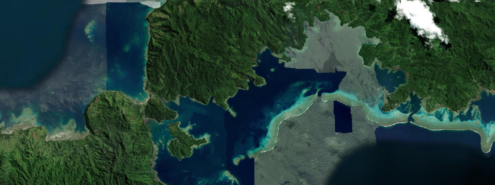
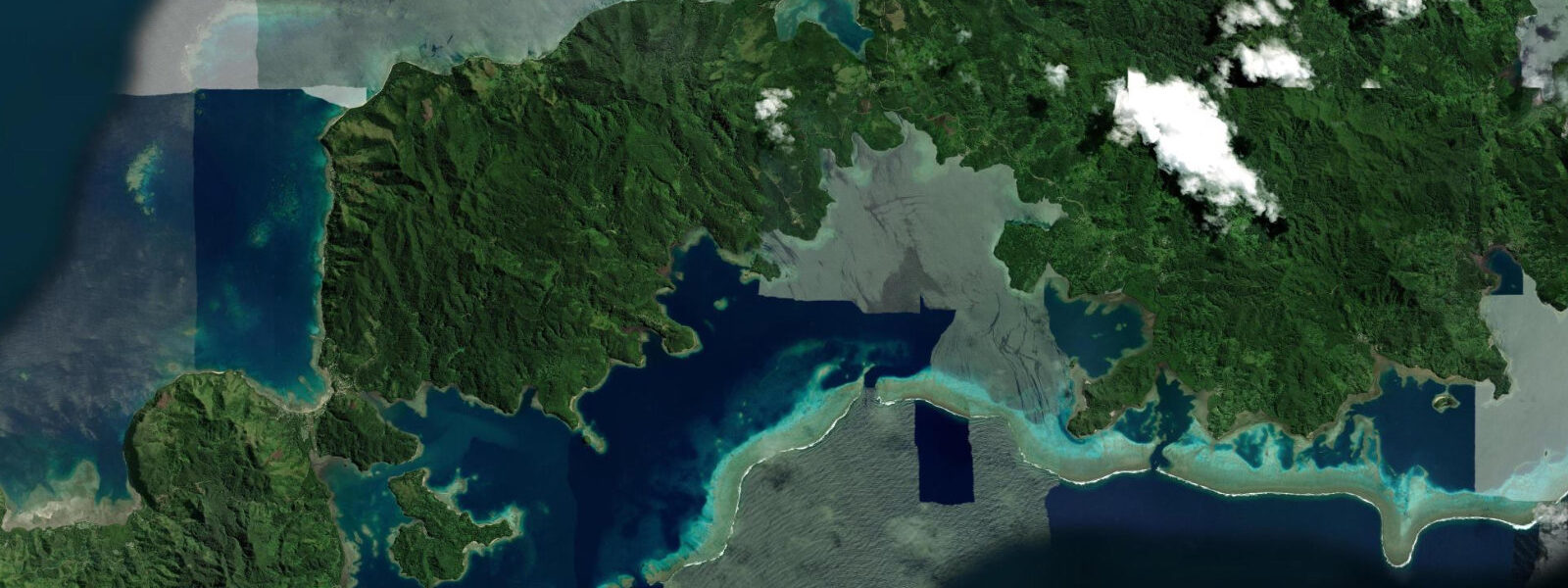
Vunisea is the administrative centre of Kadavu, Fiji's fourth-largest island, positioned on a narrow peninsula that cuts into a wide harbour on the northern coast. The government dock at Vunisea is the island's main supply link — the MV Bulou ni Ceva and other inter-island vessels call here regularly, bringing cargo and passengers from Suva. A small airstrip sits immediately above the harbour, handling light aircraft connections to the capital. The town itself is modest: a government complex, small market, a few shops, and the wharf where the island's logistics are organised.
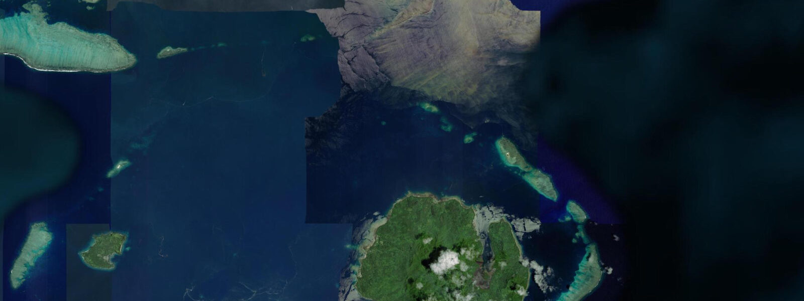
What makes Vunisea worth understanding for coastal visitors is its position as the gateway to the Great Astrolabe Reef — one of the largest barrier reef systems in the world, wrapping around the southern and eastern flanks of the Kadavu group. From Vunisea, dive and snorkel operations run south and east to the reef, which lies 2 to 15 kilometres offshore depending on the direction. The passages through the reef — Naiqoro Passage, Namara Passage, and the South Astrolabe entry — are navigable by fibreglass dive boats and are the primary access points to the outer reef wall.
Tide data for Vunisea comes from Open-Meteo Marine's global ocean model. Timing accuracy is within ±45 minutes; height accuracy is within ±0.2 to 0.3 metres. Kadavu experiences mixed semidiurnal tides with a spring range of approximately 0.8 to 1.3 metres. The diurnal inequality means the two daily highs and two daily lows are not equal in height. For the Great Astrolabe Reef, tidal state determines both safety on the passages and quality of the diving. The reef passages carry 1 to 2 knot currents on spring tides — fast enough to require careful timing but not so strong that drift diving is the only option.
For divers, the outer wall of the Great Astrolabe Reef is the centrepiece. The wall begins at the reef crest — 0.5 to 1.5 metres at high water — and drops vertically or near-vertically to 30 metres and beyond. Soft coral coverage on the wall is dense, with sea fans, wire coral, and barrel sponges in the 15 to 25 metre zone. Manta rays are present year-round at the Great Astrolabe, with aggregations at the northern passages during the cooler months (June to September). The timing for manta encounters aligns with the incoming tide, when plankton-rich water is pushed onto the reef top and mantas come up to feed.
For snorkellers, the inner barrier — the reef flat on the lagoon side of the Astrolabe — offers coral gardens in 1.0 to 4.0 metres of water at high tide. The two hours around high water are the recommended window; the reef flat shallows dramatically on spring lows, dropping to 0.3 to 0.5 metres in sections. Boat access from Vunisea is needed for all reef snorkelling — the reef is not accessible by shore at any tide state.
Kadavu Island itself has no road network. The villages are connected by coastal paths and by boat. Vunisea's government dock handles the island's supply chain. The market operates when the ferry calls and in the mornings when local producers bring garden produce. The agricultural economy of Kadavu — taro, yaqona (kava), coconut — supplements the fishing and tourism income. The island has a reputation in Fiji for high-quality yaqona, and visitors attending a kava ceremony will often be served Kadavu-sourced material.
The harbour at Vunisea is a working anchorage for visiting yachts transiting south from Suva. Clearance procedures for entering Fiji apply; the customs and immigration formalities for Vunisea are handled at the government offices by the dock. The holding is good in 6 to 10 metres over sand in the harbour. The anchorage is exposed to southwest swell in the cyclone season (November to April) — seasonal anchoring only, with weather watching during that period.
Water temperature around Kadavu runs from 24°C in August to 28°C in February. Visibility on the outer reef wall is 20 to 30 metres in the June to September dry season and drops to 10 to 20 metres in the warmer, wetter months when river runoff from Kadavu's interior increases surface turbidity in the inner lagoon.
Tide questions about Vunisea, Kadavu
Quick answers to the most common questions about tide times, range, and water access at Vunisea, Kadavu.
What is the tidal range at Vunisea and how does it affect diving on the Great Astrolabe Reef?
Vunisea experiences mixed semidiurnal tides with a spring range of roughly 0.8 to 1.3 metres. The passages through the Great Astrolabe Reef — Naiqoro Passage and Namara Passage — carry 1 to 2 knot currents on spring tides. Dive operators time departures so boats arrive at the passage during the last hour of the incoming tide or the first hour of the ebb, giving the best combination of visibility, current speed, and reef-top depth. Slack water lasts 15 to 25 minutes and is the safest window for non-drift divers. Tide data here is from Open-Meteo Marine — accuracy ±45 minutes and ±0.2 to 0.3 metres.
How do I get to Vunisea from Suva?
Vunisea has daily light aircraft connections from Suva's Nausori Airport — the flight is approximately 30 to 40 minutes. Inter-island ferry service runs from Suva's Princes Wharf; journey time is 5 to 8 hours depending on the vessel. The ferry service is the main cargo and passenger link and is less predictable on schedule than the air connection. Most dive resorts on Kadavu arrange transfers from Vunisea airstrip or dock. Driving to Vunisea is not possible — there are no roads connecting to the rest of Kadavu, only the track from the airstrip to the dock area.
When do manta rays appear at the Great Astrolabe Reef?
Manta rays are present at the Great Astrolabe Reef year-round, but the largest aggregations occur during the cooler months from June to September. They feed at the northern reef passages on the incoming tide when plankton-laden water is pushed up over the reef top. The combination of an incoming tide and the morning light hours produces the highest encounter probability. Reef manta ray (Mobula alfredi) is the dominant species; oceanic manta (Mobula birostris) is occasionally sighted in the deeper water outside the barrier. Dive operators on Kadavu track the aggregation patterns and adjust departure timing accordingly.
Is the Great Astrolabe Reef accessible for snorkellers or only divers?
The inner barrier reef on the lagoon side of the Astrolabe has coral gardens in 1.0 to 4.0 metres at high water — well within snorkel range. The two hours around high water give the best depth over the shallowest reef sections. Spring low tides reduce the inner flat to 0.3 to 0.5 metres in places, making comfortable snorkelling difficult and increasing the risk of coral contact. Boat access from Vunisea or the resort docks is required — the reef is several kilometres offshore and not wadeable from any beach. Most dive resorts include snorkel guests on boat trips.
What is the cyclone season and how does it affect visiting Vunisea?
Fiji's cyclone season runs November through April. Vunisea and the Kadavu group are exposed to southwest swell during this period, and the anchorage in the harbour becomes uncomfortable in strong cyclonic conditions. Visiting yachts typically depart south of the cyclone belt by November. Land-based resort and guesthouse accommodation remains open through the wet season, but dive operations are weather-dependent and may be suspended for days at a time. The dry season from May to October offers the most reliable conditions, best visibility, and the manta aggregation season.
7-day tide table — Vunisea, Kadavu
Heights relative to MSL. Predictions: Open-Meteo Marine (MeteoFrance SMOC, 0.08° grid) — heights relative to MSL (not chart datum / LAT). Model-derived.
| Day | Type | Time | Height |
|---|---|---|---|
| Mon 06 Jul | Low | 15:53 | 0.1m |
| High | 22:17 | 1.2m | |
| Tue 07 Jul | Low | 04:13 | 0.3m |
| High | 23:00 | 1.2m | |
| Wed 08 Jul | Low | 05:08 | 0.3m |
| High | 11:10 | 1.1m | |
| Low | 17:16 | 0.2m | |
| High | 23:48 | 1.2m | |
| Thu 09 Jul | Low | 06:08 | 0.3m |
| High | 12:08 | 1.1m | |
| Low | 18:10 | 0.2m | |
| Fri 10 Jul | High | 00:38 | 1.3m |
| Low | 07:02 | 0.2m | |
| High | 13:08 | 1.1m | |
| Low | 19:05 | 0.2m | |
| Sat 11 Jul | High | 01:25 | 1.3m |
| Low | 08:02 | 0.1m | |
| High | 14:11 | 1.1m | |
| Low | 20:02 | 0.2m | |
| Sun 12 Jul | High | 02:25 | 1.3m |
| Low | 09:02 | 0.0m | |
| High | 11:00 | 0.3m |