Kihnu Island, Estonia tide times
Kihnu Island, Estonia tide forecast — heights relative to MSL.
Tide chart for Kihnu Island, Estonia
24-hour cosine-interpolated curve around the present moment. Heights relative to MSL. Predictions: Predictions: Open-Meteo Marine (MeteoFrance SMOC, 0.08° grid).
Sun, moon and conditions on Fri 19 Jun
Snapshot at build time — refreshes daily. Sea state from Open-Meteo Marine.
Highs and lows next 7 days
Every predicted high and low for the next week, with the daily tidal coefficient (0–120; higher = bigger swing, > 95 means stronger currents).
Other spots nearby
The three closest curated TideTurtle locations to Kihnu Island, Estonia, measured by great-circle distance.
Today's solunar windows
Solunar tradition: major periods are the ≈3h windows around moon transit and opposition; minor are ≈2h around moonrise and moonset. Pair with the local tide stage and wind for the best read.
About tides at Kihnu Island, Estonia
A short guide to the coastline at Kihnu Island, Estonia — geography, sea state, and what the tide is actually doing under your feet.
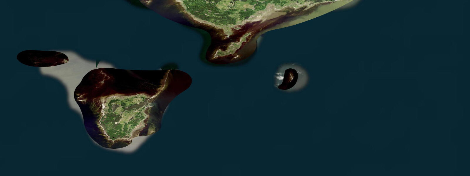
Kihnu Island sits 40 kilometres offshore from Pärnu in the Gulf of Riga, a 16.4 km² wedge of pine forest, low dunes, and striated shoreline that functions by different rules than the mainland. The astronomical tidal range here is 0.1–0.3 m — negligible for planning purposes. What actually moves the water is wind. A sustained southwest gale in October can push 0.8–1.2 m of water onto the low-lying eastern shore within a few hours and pull it back just as fast. These meteorological surges, not tides, define the water level rhythm at Kihnu. Anglers fishing the rocky coastal margins need to watch the wind forecast — a 12 m/s southwesterly building overnight means the low ground you were standing on yesterday afternoon may be under 0.5 m of water by morning. The Open-Meteo model captures the directional surge pattern well enough for planning; for real-time conditions, the Estonian Environment Agency (Keskkonnaamet) publishes nearshore water level data from the Pärnu gauge, 40 km to the east. In summer, the Gulf of Riga is calm enough that the water level barely moves between days. Perch and pike fishing is the primary shore angling activity. Pike hold along the transitional reed-edge and rocky drop-offs on the island's calmer northern face, where Manija Island is visible 10 km away. Perch school in the same areas in late summer and autumn. With no dramatic tidal window to time, access depends on wind state — a flat calm morning in August gives you clear water and good visibility to the bottom; post-gale conditions stir up suspended material and temporarily reduce catch rates in the shallower margins.
Kihnu is arguably better known culturally than geographically. UNESCO inscribed the island's living cultural space on the Intangible Cultural Heritage list in 2008. The designation is specific: it recognises the traditions maintained primarily by Kihnu's women — distinctive handmade striped woolen skirts called körtsi, handmade silver jewellery and brooches, songs, dances, and craft practices that have been transmitted continuously across generations. The reason this responsibility fell to women is structural: Kihnu men were historically seamen and fishermen who spent months or years away from the island. The women kept the community functioning and the cultural practices alive. That pattern has relaxed in the modern era, but the traditions persist and the island's identity is built around them. The Kihnu Museum documents both the cultural heritage and the maritime history. The Kihnu Church, visible from the ferry approach, dates to 1784 and remains an active community anchor.
Access to Kihnu depends on the season and the ice. The Pärnu–Kihnu ferry operates from May to December, taking roughly two hours. When the Gulf of Riga freezes in winter — typically January through early March — the ferry stops and is replaced by a seasonal ice road. The ice road is managed by the local government and opens only when ice thickness reaches the required threshold. Vehicles cross, but conditions are monitored daily; the road can close without notice if temperatures rise or the ice structure weakens. For a visitor, this means planning a winter trip to Kihnu requires flexibility — both the outbound and return crossing windows depend on conditions.
For beach families, the summer months offer calm water along Kihnu's sandy shoreline with minimal current and predictable, stable water levels in settled weather. Paddlers working the coastline by kayak should check the wind forecast before committing to an open crossing from Pärnu — the 40 km of open water in the Gulf of Riga can build a short steep chop in an hour when wind and fetch align. The crossing is manageable in the right conditions; the margin for error in deteriorating conditions is not.
Photographers working the island will find the best light in the low-sun periods of late September and October. The körtsi-wearing women attending the island's cultural festivals provide subject matter unlike anything on the Estonian mainland. The shoreline in post-gale conditions — stranded kelp, shifted shingle, Manija Island silhouetted to the north — suits a different register of work.
Tide data for Kihnu Island comes from the Open-Meteo Marine API, a gridded model product. Timing accuracy is ±45 minutes, height accuracy ±0.3 m — usable for trip planning, not for navigation.
Tide questions about Kihnu Island, Estonia
Quick answers to the most common questions about tide times, range, and water access at Kihnu Island, Estonia.
Does Kihnu Island have real tides?
The astronomical tidal range at Kihnu is 0.1–0.3 m — so small it has almost no practical effect on access or fishing. Water level at the island is driven primarily by wind setup in the Gulf of Riga. A sustained southwest gale can raise the shoreline water level by 0.8–1.2 m within hours. For planning purposes, treat water level at Kihnu as weather-dependent rather than tide-dependent, and check the Pärnu gauge from the Estonian Environment Agency for real-time readings alongside the wind forecast.
When does the Kihnu ferry run and what happens in winter?
The Pärnu–Kihnu ferry operates May through December, with a crossing time of roughly two hours. In winter, when the Gulf of Riga freezes — typically January to early March — the ferry is replaced by an ice road. The ice road opens only when ice thickness meets the required structural threshold, is monitored daily, and can close without advance notice if temperatures rise. Planning a winter crossing requires flexibility on both departure and return. The island has about 300 permanent residents and no backup option when the ice road is closed.
What fishing is available around Kihnu Island?
Perch and pike are the main species targeted from Kihnu's shores. Pike concentrate along the reed-edge and rocky transitions on the island's more sheltered northern face. Perch school in the same areas, especially in late summer and autumn. Because the tidal range is negligible, there is no tide window to time — the key variable is wind. Flat calm mornings produce clearest water and best visibility in the shallows. After a gale, suspended material reduces visibility temporarily. The rocky eastern margins experience the largest water level fluctuations during surge events.
Why is Kihnu Island a UNESCO heritage site?
UNESCO inscribed the Kihnu cultural space on its Intangible Cultural Heritage list in 2008. The designation recognises traditions maintained primarily by the island's women: handmade striped woolen skirts called körtsi, silver jewellery and brooches, songs, dances, and craft practices transmitted continuously across generations. The pattern developed because Kihnu men were historically seamen and fishermen absent for extended periods — the women maintained both the community and the cultural practices. The Kihnu Museum documents this heritage alongside the island's maritime history.
Is sea kayaking between Pärnu and Kihnu Island feasible?
The crossing is 40 km over open water in the Gulf of Riga — achievable for an experienced paddler in settled conditions, but the Gulf can build a short, steep chop quickly when southwest wind aligns with the fetch. Check wind forecasts for sustained direction and strength before committing. The island has no dramatic tidal current to contend with, but meteorological surges during gales produce short-period water level changes of up to 1.2 m on the eastern shore. Most paddlers visiting Kihnu take the ferry and paddle the island's coastline locally rather than attempting the open crossing.
0-day tide table — Kihnu Island, Estonia
Heights relative to MSL. Predictions: Open-Meteo Marine (MeteoFrance SMOC, 0.08° grid) — heights relative to MSL (not chart datum / LAT). Model-derived.
| Day | Type | Time | Height |
|---|