Kabli, Estonia tide times
Kabli, Estonia tide forecast — heights relative to MSL.
Today's tide times for Kabli, Estonia
Tide times at Kabli, Estonia on Friday, 19 June 2026: first high tide at 03:00am. Sunrise 04:17am, sunset 10:29pm.
Tide chart for Kabli, Estonia
24-hour cosine-interpolated curve around the present moment. Heights relative to MSL. Predictions: Predictions: Open-Meteo Marine (MeteoFrance SMOC, 0.08° grid).
Sun, moon and conditions on Fri 19 Jun
Snapshot at build time — refreshes daily. Sea state from Open-Meteo Marine.
Highs and lows next 7 days
Every predicted high and low for the next week, with the daily tidal coefficient (0–120; higher = bigger swing, > 95 means stronger currents).
Other spots nearby
The three closest curated TideTurtle locations to Kabli, Estonia, measured by great-circle distance.
Today's solunar windows
Solunar tradition: major periods are the ≈3h windows around moon transit and opposition; minor are ≈2h around moonrise and moonset. Pair with the local tide stage and wind for the best read.
About tides at Kabli, Estonia
A short guide to the coastline at Kabli, Estonia — geography, sea state, and what the tide is actually doing under your feet.
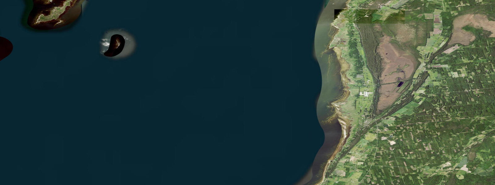
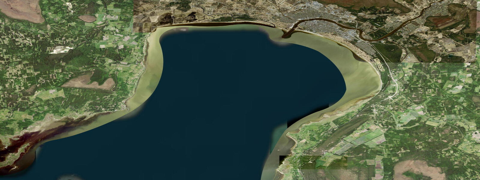
Kabli is a small coastal village at the point where Pärnu Bay's eastern shore angles into the wider Gulf of Riga, 40 kilometres south of Pärnu city. The geometry here — a long, low-gradient sand bar separating Pärnu Bay from Kabli Lake, a coastal lagoon — makes the site unusually sensitive to water level changes. The astronomical tidal range at Kabli is 0.1–0.2 m, effectively zero for practical purposes. What moves the water is wind: southwest gales produce surge events of 0.5–0.8 m that arrive faster than the models often predict. During serious storm events, the sand bar separating the lagoon from the bay is overtopped, temporarily connecting the two water bodies and flooding the low coastal meadow on the landward side. Anglers fishing the bar need to know this — a forecast showing 12 m/s+ southwest sustained overnight means the bar may be impassable by morning, with standing water across ground that was dry the previous afternoon.
For shore fishing, the bar targets pike, perch, and coastal flounder. Pike and perch work the lagoon margin where Kabli Lake meets the bar, with better fish in autumn as water temperatures drop and fish move into shallower feeding zones. Flounder are taken from the bay side of the bar, particularly after the water has settled following a surge event. There is no tidal window to plan around — the water level is determined by the weather, and the best fishing windows are tied to calm post-gale conditions when clarity returns to the bay shallows.
The Kabli Bird Ringing Station is the defining feature of this location for most visitors. Positioned at the coastal turning point where the shoreline bends, the station intercepts migrating passerines and waders that are following the coast. Autumn migration runs from late August through November and is the primary season; spring migration concentrates in April and May. The ringing station has operated for decades and has built a dataset that places Kabli among the most important observation points in the eastern Baltic. Species diversity during peak autumn passage — September into October — is high. Reed buntings, thrushes, and warblers move through in volume; waders work the lagoon and bar margins. Whooper swans and barnacle geese stage here in October, using the coastal meadow and lagoon as a rest stop on their southward movement. The geese can number in the hundreds on a good morning; whooper swans arrive in family groups and stay for days when conditions allow.
For wildlife photographers, the October window is the most productive: barnacle geese against low autumn light with Latvian coast visible across the Gulf to the west, whooper swans on the lagoon surface, and a persistent south wind that tends to concentrate migrants along the shore. The Latvian coast, 30–40 km across the Gulf of Riga, is visible on clear days from the bar, giving the site an unusual sense of geographic exposure despite the sheltered lagoon behind it.
Paddlers approaching Kabli from the north along Pärnu Bay should be aware that the bay is shallow and the water level can drop 0.4–0.5 m below mean level during extended northerly wind — exposing additional sand flat and reducing navigable depth over the bar significantly. The lagoon itself is accessible by small boat and kayak in calm conditions and provides a sheltered paddling environment when the bay is uncomfortable.
Beach families visiting Kabli find a long, gently shelving sand bar with minimal current in settled summer conditions. The lagoon side of the bar is calmer and warmer than the bay face. In summer the water level is stable and the site is straightforward. The autumn character of Kabli is different — wind-exposed, ecologically active, and dominated by the passage of birds rather than swimmers.
Pärnu city is 40 km to the north, and the Pärnu Bay coast road is the access route. There is no ferry or commercial boat service to Kabli — it is a drive-to destination.
Tide data for Kabli comes from the Open-Meteo Marine API, a gridded model product. Timing accuracy is ±45 minutes, height accuracy ±0.3 m — usable for trip planning, not for navigation.
Tide questions about Kabli, Estonia
Quick answers to the most common questions about tide times, range, and water access at Kabli, Estonia.
What controls water level at Kabli — tides or wind?
Wind dominates water level at Kabli. The astronomical tidal range is 0.1–0.2 m, which has negligible practical effect. Southwest gales produce surge events of 0.5–0.8 m, arriving within hours of the wind building. During serious storm surges the sand bar between Pärnu Bay and Kabli Lake lagoon can be overtopped, flooding the coastal meadow behind it. For planning any activity on the bar or low coastal ground, check the wind forecast and the Pärnu gauge from the Estonian Environment Agency rather than relying on tidal predictions.
When is the best time to visit Kabli for bird migration?
Autumn migration from late August through November is the primary season at the Kabli Bird Ringing Station. The station is positioned at the coastal turning point where the shoreline bends, intercepting passerines and waders following the coast south. September and October see the highest species diversity. Whooper swans arrive in family groups in October and stage for multiple days; barnacle geese can number in the hundreds during peak passage. Spring migration runs April through May and is active but less diverse than autumn. The ringing station is one of the most significant observation points in the eastern Baltic.
What fish species can be caught from the Kabli sand bar?
Pike, perch, and coastal flounder are the main species. Pike and perch target the lagoon margin where Kabli Lake meets the bar, with autumn producing better fish as water temperatures drop. Flounder are taken from the bay face of the bar, particularly in calm post-surge conditions when clarity returns to the shallows. There is no tidal window to time — water level is weather-driven. Monitor wind forecasts: after a major surge event the bar may be partially flooded and inaccessible for a period before water levels recede.
Can you kayak at Kabli?
Yes. Kabli Lake lagoon provides sheltered flatwater paddling behind the sand bar and is accessible by kayak in calm conditions. The lagoon is separated from Pärnu Bay by the bar, so bay conditions do not directly affect the lagoon surface. Paddlers approaching along Pärnu Bay from the north should note that sustained northerly winds can drop the bay's water level by 0.4–0.5 m below mean, reducing depth over the bar and exposing additional sand flat. The bay face of the bar can build a short chop in southwest wind. In settled summer conditions both the lagoon and the bay approach are manageable.
Is there accommodation in Kabli?
Kabli is a small village with limited accommodation options — a handful of guesthouses and holiday homes that serve birdwatchers and anglers, particularly in autumn. Pärnu city, 40 km north, is the nearest urban centre with a full range of hotels and services. Most visitors to Kabli are day-trippers from Pärnu or overnight guests in the village itself. There is no ferry service; access is by car on the Pärnu Bay coast road. The Kabli Bird Ringing Station does not provide public accommodation, though it sometimes hosts volunteer ringers during peak migration.
8-day tide table — Kabli, Estonia
Heights relative to MSL. Predictions: Open-Meteo Marine (MeteoFrance SMOC, 0.08° grid) — heights relative to MSL (not chart datum / LAT). Model-derived.
| Day | Type | Time | Height |
|---|---|---|---|
| Fri 19 Jun | High | 03:00 | 0.0m |
| Sat 20 Jun | — | ||
| Sun 21 Jun | Low | 09:00 | -0.1m |
| Mon 22 Jun | — | ||
| Tue 23 Jun | High | 18:00 | -0.1m |
| Wed 24 Jun | — | ||
| Thu 25 Jun | — | ||
| Fri 26 Jun | Low | 02:00 | 0.0m |