Opatija tide times
Opatija tide forecast — heights relative to MSL.
Tide chart for Opatija
24-hour cosine-interpolated curve around the present moment. Heights relative to MSL. Predictions: Predictions: Open-Meteo Marine (MeteoFrance SMOC, 0.08° grid).
Sun, moon and conditions on Sun 21 Jun
Snapshot at build time — refreshes daily. Sea state from Open-Meteo Marine.
Highs and lows next 7 days
Every predicted high and low for the next week, with the daily tidal coefficient (0–120; higher = bigger swing, > 95 means stronger currents).
Other spots nearby
The three closest curated TideTurtle locations to Opatija, measured by great-circle distance.
Today's solunar windows
Solunar tradition: major periods are the ≈3h windows around moon transit and opposition; minor are ≈2h around moonrise and moonset. Pair with the local tide stage and wind for the best read.
About tides at Opatija
A short guide to the coastline at Opatija — geography, sea state, and what the tide is actually doing under your feet.
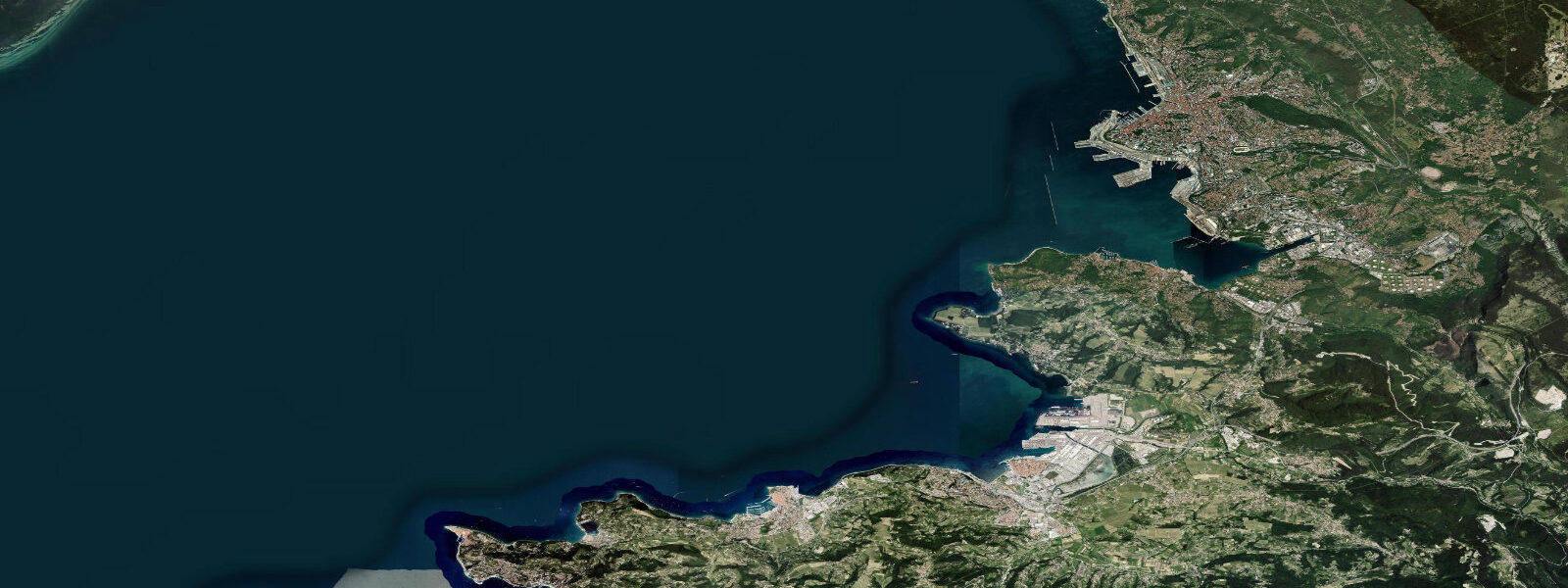
Opatija runs along the western shore of the Kvarner Gulf on the Istrian peninsula, sheltered from northeast wind by the Učka massif behind the town. It was the Austro-Hungarian Riviera: developed from 1844 onward as a health resort for the empire's elite, it drew Franz Joseph I, Gustav Mahler, and Isadora Duncan. The grand hotel facades — Hotel Kvarner (1884), Villa Angiolina, the Habsburg villas — are still the defining streetscape, and the 12-km coastal promenade (Lungomare) running south to Lovran is one of the most pleasant walking routes on the northern Adriatic.
Tidal range at Opatija is in the same bracket as Rijeka — approximately 0.6–0.7 m mean — for the same reason: Kvarner Gulf amplification. Tides here are semidiurnal (two highs and two lows per day) with a roughly 12-hour 25-minute cycle. The range is modest by northern European standards but meaningfully larger than the Dalmatian Adriatic, and visible on the concrete steps and stone ledges along the Lungomare.
The Opatija coastline is predominantly rocky, with small pebble coves between the hotel sea-terraces and stabilised rock platforms used as bathing areas (riva). Swimmers who time arrivals around high tide get the most water above the platforms and the cleanest entry. Low water exposes kelp-slicked rock and reduces depth at the edges. The coast faces west-northwest, sheltered from northeast bura by Učka; southwesterly scirocco swells do arrive in autumn and winter, turning the riva uncomfortable for a day or two at a time.
Sailing: the passage between Opatija and Rijeka is straightforward in settled conditions. Marina Opatija (80 berths) is compact; larger vessels typically use ACI Opatija or head into Rijeka. Official tides: Croatian Hydrographic Institute (HHI). Open-Meteo Marine model uncertainty (±45 min, ±0.2–0.3 m) applies; the 0.6–0.7 m range means timing matters for working around the tidal platforms.
Tide questions about Opatija
Quick answers to the most common questions about tide times, range, and water access at Opatija.
What is the tidal range at Opatija?
Mean tidal range at Opatija is approximately 0.6–0.7 m, elevated above the southern Adriatic norm because of Kvarner Gulf amplification. Spring ranges can reach 0.9 m. Tides are semidiurnal — two high and two low waters per day. The Croatian Hydrographic Institute (HHI) publishes official tables; this site uses Open-Meteo Marine model data (±45 min, ±0.2–0.3 m). Tidal state is relevant at Opatija: most bathing platforms are noticeably more comfortable around high water.
What is the Lungomare coastal path?
The Lungomare (officially Šetalište Franz Josef I.) is a 12-km promenade running from Volosko north of Opatija south through the town centre and on to Lovran. Built in 1889 during the Habsburg resort era, it hugs the rocky coastline at sea level, passing hotel gardens, bathing coves, and a series of small beaches. The path is flat, well-maintained, and usable year-round. It is one of the Kvarner coast's signature walks — tidal variation of 0.6–0.7 m means the seaward edge of the path is occasionally wave-washed at high spring tides combined with scirocco swell.
When is the best time to swim at Opatija's rocky coast?
High tide gives the most water above the stabilised rock bathing platforms (riva) and reduces exposure to slippery kelp-covered lower rocks. With a tidal range of 0.6–0.7 m, the difference in water depth at a platform edge between high and low tide is around half a metre — enough to make entry and exit noticeably easier at high water. In summer, water temperature peaks around 24–25 °C in August. The coast faces west and is sheltered from northeast bura by the Učka massif; southwesterly scirocco swells in autumn can make the riva rough for 12–24 hours.
How does Opatija compare to other Kvarner resorts for sailing?
Opatija sits at the northern end of the Kvarner, close to Rijeka's commercial port and within day-sail range of Krk, Cres, and Lošinj. Marina Opatija is small (around 80 berths); ACI Marina Opatija has more capacity. The bura wind, accelerating through the Rijeka channel from the northeast, can build fast — a shift from Force 3 to Force 8 in 30 minutes is documented in local logs. Opatija's position in the lee of Učka offers some protection from northeast bura compared to more exposed anchorages further south in the Kvarner.
Can I use these tide predictions for navigation near Opatija?
These predictions are for general information only and not a substitute for official navigation data. Open-Meteo Marine model output carries ±45 min timing uncertainty and ±0.2–0.3 m height uncertainty. For any draft-sensitive manoeuvre or harbour entry, verify against official HHI tide tables and check real-time DHMZ forecasts for bura and scirocco events, which can shift actual water levels significantly away from tidal predictions.
7-day tide table — Opatija
Heights relative to MSL. Predictions: Open-Meteo Marine (MeteoFrance SMOC, 0.08° grid) — heights relative to MSL (not chart datum / LAT). Model-derived.
| Day | Type | Time | Height |
|---|---|---|---|
| Sun 21 Jun | — | ||
| Mon 22 Jun | High | 16:15 | -0.3m |
| Tue 23 Jun | Low | 02:00 | -0.8m |
| High | 16:50 | -0.3m | |
| Wed 24 Jun | — | ||
| Thu 25 Jun | Low | 01:50 | -0.8m |
| High | 18:15 | -0.3m | |
| Fri 26 Jun | Low | 02:06 | -0.9m |
| High | 18:54 | -0.2m | |
| Sat 27 Jun | Low | 02:20 | -0.9m |