Rimouski tide times
Rimouski tide forecast — heights relative to MSL.
Today's tide times for Rimouski
Tide times at Rimouski on Saturday, 27 June 2026: first high tide at 12:43am, first low tide at 07:26am, second high tide at 01:10pm, second low tide at 07:04pm. Sunrise 04:34am, sunset 08:39pm.
Tide chart for Rimouski
24-hour cosine-interpolated curve around the present moment. Heights relative to MSL. Predictions: Predictions: Open-Meteo Marine (MeteoFrance SMOC, 0.08° grid).
Sun, moon and conditions on Sat 27 Jun
Snapshot at build time — refreshes daily. Sea state from Open-Meteo Marine.
Highs and lows next 7 days
Every predicted high and low for the next week, with the daily tidal coefficient (0–120; higher = bigger swing, > 95 means stronger currents).
Other spots nearby
The three closest curated TideTurtle locations to Rimouski, measured by great-circle distance.
Today's solunar windows
Solunar tradition: major periods are the ≈3h windows around moon transit and opposition; minor are ≈2h around moonrise and moonset. Pair with the local tide stage and wind for the best read.
Cycle dates near Rimouski
Next spring tide on Wed 01 Jul (range 3.1m). Last neap on Fri 26 Jun. Next neap on Thu 02 Jul.
Spring tides cluster around new and full moons (biggest swings). Neap tides land on quarter moons (smallest swings). See the spring tide and neap tide glossary entries for the why.
About tides at Rimouski
A short guide to the coastline at Rimouski — geography, sea state, and what the tide is actually doing under your feet.
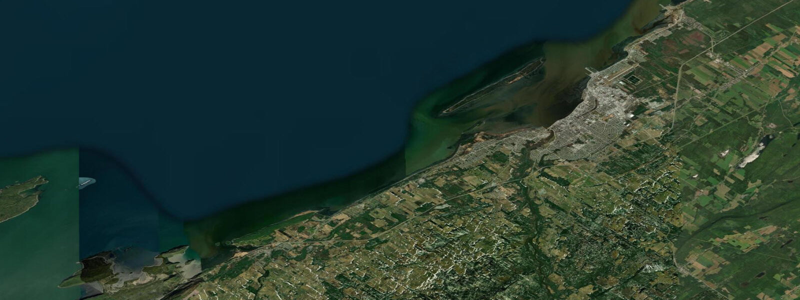
Rimouski sits on the south shore of the St. Lawrence estuary where the river is still 48 km wide and the tides have been building for 400 km since Gaspé. Spring range here reaches 4.2 m above chart datum; neap range drops to roughly 2.1 m. The estuary runs at its widest and the tidal prism is enormous. On a big spring ebb the current in the main navigation channel runs at 2–3 knots; inshore it is gentler but still purposeful. The exposed foreshore east of the city stretches 400–600 m at low spring water, revealing the mud-and-gravel flats that shorebirds work systematically through the autumn migration.
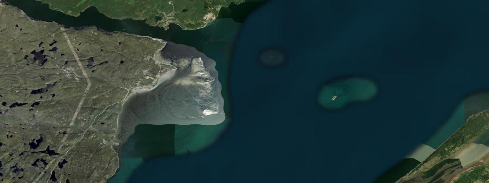
Bic National Park, 25 km west on the same shore, deserves its own plan. The park's sea-stack archipelago — a jumble of rocky islands, channels, and coves — is only fully navigable around high water when the submerged ledges are covered. Approach too early on the ebb and you are dragging a loaded kayak through boot-sucking grey mud. The standard park loop runs roughly 14 km and is best started 90 minutes before high water, letting the flood carry paddlers into the inner passages and giving a two-hour window to explore before the ebb begins. Grey and harbour seals haul out on the outer islands in numbers; the Île du Bic seal colony is one of the most accessible in the region. Bring binoculars; 200 m is normal viewing distance at low water. The park campground books out in July and August — reserve in March for summer weekends.
Rimouski serves anglers targeting the strong tidal currents for striped bass and Atlantic cod. The mouth of the Rivière Rimouski is a productive zone on the early flood when bass move up from the deep channel. From the municipal pier, the downstream ebb tide is the productive direction for cod jigging — the fish hold behind the bottom structure and feed into the current. Local regulations allow year-round cod retention up to the daily bag limit.
The wreck of the Empress of Ireland lies 4 km offshore in 40 m of water. She went down in May 1914 with 1,012 lives lost, the worst maritime disaster in Canadian history. The dive site is accessible on calm days from late June through August; a licensed Rimouski operator runs scheduled trips. Visibility peaks in August when the estuary stratifies and the surface layer clears. The site is diveable on slack water only — the current around the wreck at mid-ebb makes approach dangerous. Advanced open-water certification is required.
Beluga whales are a real possibility at Rimouski. The city sits within the lower end of the St. Lawrence beluga range, and sightings from shore — especially from the Pointe-au-Père lighthouse 5 km east of downtown — are reasonably regular in summer. The lighthouse station doubles as the Empress of Ireland museum and is the best elevated viewing point on this stretch of coast: from the gallery you can see the current edge in the main channel on a spring ebb, and the whale breath plumes on a still morning in July.
For families, the Jardins de la Mer park just east of downtown has a gentle beach accessible at mid-tide and above — below half-tide the rocks are slippery but the tidepooling among them is excellent. Children reliably find periwinkles, rock crabs, and sea anemones in the pools within the first 10 minutes of searching. The foreshore stays exposed for 90–120 minutes around low water, giving enough time for a proper tidepool session before the flood returns.
Tidal predictions here use the Open-Meteo Marine gridded model (±45 minutes on timing, ±0.3 m on height). Not for navigation.
Tide questions about Rimouski
Quick answers to the most common questions about tide times, range, and water access at Rimouski.
What is the tidal range at Rimouski?
Spring tidal range at Rimouski is approximately 4.2 m above chart datum, with neap ranges around 2.1 m. The main St. Lawrence navigation channel runs at 2–3 knots on a spring ebb; inshore currents are gentler but still require attention for paddlers launching near the city. The large spring range exposes broad foreshore flats east of the city — 400 to 600 m of mud and gravel — that are the primary draw for shorebird watchers and tidepool explorers from July through September. Bic National Park, 25 km west, benefits from the same range.
When is the best time to kayak in Bic National Park?
Start the Bic archipelago loop 90 minutes before high water. This lets the flood carry you into the inner channels, gives a full two-hour high-water window for the central islands, and brings you back out on the first of the ebb before the current builds. Spring tides produce strong ebb currents in the outer passages; neap tides are easier for less experienced paddlers. The park's rental and shuttle service operates June through September. Book ahead in July and August — capacity is limited.
Can I see belugas from Rimouski?
Beluga sightings from shore are possible at Rimouski, particularly from the Pointe-au-Père lighthouse east of the city. The estuary beluga population feeds in areas where tidal mixing concentrates prey, and the deep channel offshore here is within their regular range. July through September is peak sighting season. Dawn and the two hours after high water — when the current is easing and the surface is calmer — give the best visibility for spotting white backs and breath plumes from an elevated shore position.
Is the Empress of Ireland wreck diveable, and when?
The Empress of Ireland sits in 40 m of water roughly 4 km offshore and is diveable from late June through August on calm days. Slack water is mandatory — the current around the wreck on a spring ebb makes approach dangerous. Visibility peaks in August when the estuary stratifies and the surface layer clears, sometimes reaching 8–10 m. Licensed operators in Rimouski run scheduled trips; solo dive boats are not permitted at the wreck under Quebec diving heritage regulations. Advance booking required.
What fishing is available around Rimouski on the tides?
Striped bass concentrate at the mouth of the Rivière Rimouski on the early flood tide, from late June through August. Atlantic cod respond to a jig at mid-depth during the ebb from the municipal pier, holding behind bottom structure in the current. Atlantic salmon enter the Rivière Rimouski from late July; river fishing requires a provincial licence plus a sector permit. The estuary itself produces mackerel and Atlantic herring on summer flood tides; no permit is needed for mackerel from shore.
7-day tide table — Rimouski
Heights relative to MSL. Predictions: Open-Meteo Marine (MeteoFrance SMOC, 0.08° grid) — heights relative to MSL (not chart datum / LAT). Model-derived.
| Day | Type | Time | Height |
|---|---|---|---|
| Sat 27 Jun | High | 00:43 | 1.2m |
| Low | 07:26 | -1.3m | |
| High | 13:10 | 0.4m | |
| Low | 19:04 | -1.2m | |
| Sun 28 Jun | High | 01:28 | 1.3m |
| Low | 08:09 | -1.5m | |
| High | 13:57 | 0.4m | |
| Low | 19:40 | -1.2m | |
| Mon 29 Jun | High | 02:07 | 1.5m |
| Low | 08:51 | -1.6m | |
| High | 14:41 | 0.4m | |
| Low | 20:17 | -1.3m | |
| Tue 30 Jun | High | 02:48 | 1.5m |
| Low | 09:24 | -1.6m | |
| High | 15:16 | 0.5m | |
| Low | 20:53 | -1.3m | |
| Wed 01 Jul | High | 03:25 | 1.5m |
| Low | 10:00 | -1.6m | |
| High | 15:55 | 0.6m | |
| Low | 21:27 | -1.3m | |
| Thu 02 Jul | High | 04:02 | 1.6m |
| Low | 10:36 | -1.5m | |
| Fri 03 Jul | High | 04:34 | 1.4m |
| Low | 11:05 | -1.7m | |
| High | 17:01 | 0.5m | |
| Low | 19:00 | -0.1m |