Fortaleza tide times
Fortaleza tide forecast — heights relative to MSL.
Today's tide times for Fortaleza
Tide times at Fortaleza on Friday, 31 July 2026: first high tide at 05:00, first low tide at 11:12, second high tide at 17:23, second low tide at 23:23. Sunrise 05:42, sunset 17:39.
Tide chart for Fortaleza
24-hour cosine-interpolated curve around the present moment. Heights relative to MSL. Predictions: Predictions: Open-Meteo Marine (MeteoFrance SMOC, 0.08° grid).
Sun, moon and conditions on Fri 31 Jul
Snapshot at build time — refreshes daily. Sea state from Open-Meteo Marine.
Highs and lows next 7 days
Every predicted high and low for the next week, with the daily tidal coefficient (0–120; higher = bigger swing, > 95 means stronger currents).
Other spots nearby
The three closest curated TideTurtle locations to Fortaleza, measured by great-circle distance.
Today's solunar windows
Solunar tradition: major periods are the ≈3h windows around moon transit and opposition; minor are ≈2h around moonrise and moonset. Pair with the local tide stage and wind for the best read.
Cycle dates near Fortaleza
Last spring tide on Thu 30 Jul (range 2.5m). Next neap on Wed 05 Aug.
Spring tides cluster around new and full moons (biggest swings). Neap tides land on quarter moons (smallest swings). See the spring tide and neap tide glossary entries for the why.
About tides at Fortaleza
A short guide to the coastline at Fortaleza — geography, sea state, and what the tide is actually doing under your feet.
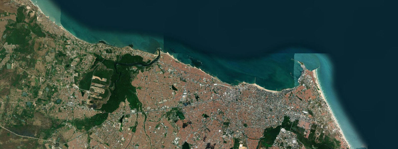
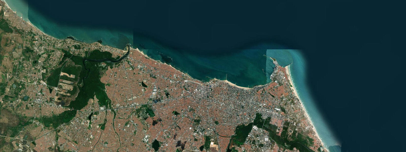
Fortaleza sits near the top of the South American continent, on a stretch of coast where the land turns from north-facing to east-facing and the southeast trade winds — the alísios — blow consistently across open Atlantic water with almost nothing to interrupt them for thousands of kilometres. The city of 2.5 million faces a beach coast of fine-grained sand backed by dunes, with offshore reefs of Cretaceous sandstone that create the tidal pools — piscinas naturais — the Ceará coast is known for. Mesotidal spring ranges of 2.5 to 3.0 m expose those reefs for two to three hours around low water, turning them into natural swimming pools accessible to anyone who knows the tide table.
The tidal regime is semidiurnal: two highs and two lows per day, with modest diurnal inequality. The spring range of 2.5 to 3.0 m means the horizontal tidal excursion on the gently-shelving beach is substantial — at low water the beach widens by 50 to 100 m in front of Fortaleza's main beaches at Iracema and Meireles, and the offshore reef structures that are covered to 1 m or more at high water become walkable pools at low. The Farol beach area and the point at Iracema are the most commonly visited in-city sites for low-tide reef walking; the pools hold small fish, sea urchins, and starfish visible without snorkel equipment when the water is clear.
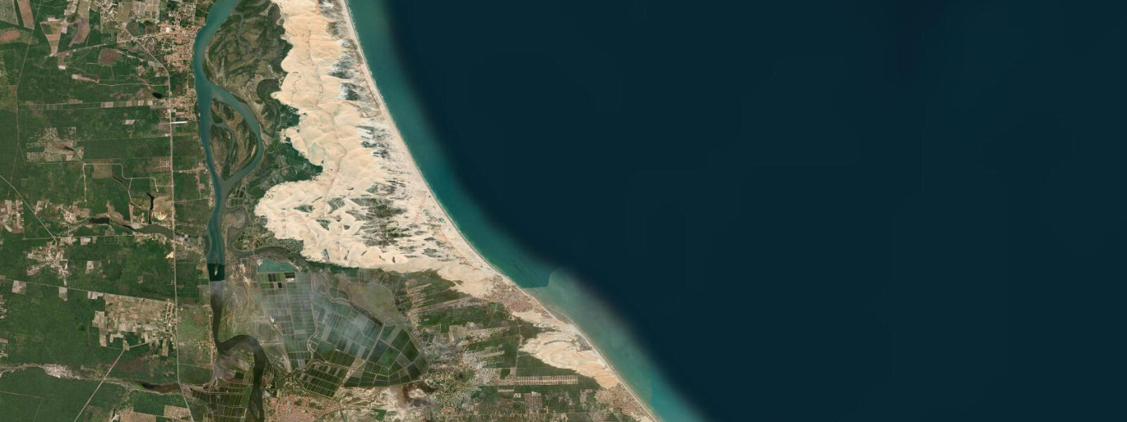
Cumbuco, 30 km northwest of Fortaleza along the CE-085 highway, is where tidal state and trade wind interact most directly. The beach at Cumbuco faces north and northwest into the consistent southeast trade wind that blows from roughly April through February, strongest between July and December when the Intertropical Convergence Zone retreats north and the trades intensify. The tidal flat exposed at low water — a broad, shallow-bottomed lagoon system behind the beach — becomes the kite-surfing arena that has made Cumbuco one of the primary destinations in South America for the sport. At high tide the flat shrinks and deepens; at low tide it broadens into 200 to 400 m of ankle-to-knee-deep water where beginners learn body-dragging and board skills in the safest possible conditions. Advanced riders use the exposed flat for speed runs and the beach break for jumps. Schools and rental operations on the Cumbuco waterfront run their beginner lessons on a tidal schedule, typically starting two hours after high water and running through low and into the early flood.
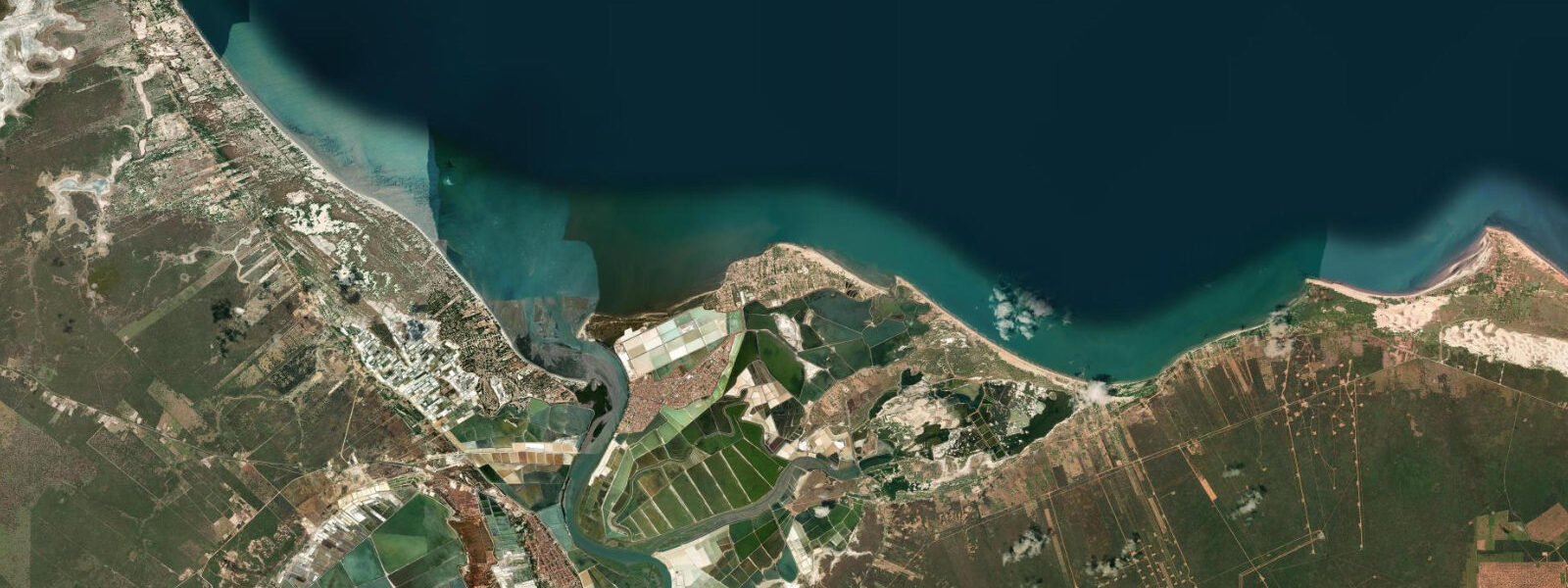
The Costa do Sol to the east of Fortaleza — Aquiraz, Morro Branco, Canoa Quebrada, Icapuí — is the concentration of the piscinas naturais experience. Morro Branco is the closest, roughly 85 km east of Fortaleza, with coloured sandstone cliffs behind the beach and a reef system that exposes a series of interconnected tidal pools at low water. At high tide the pools are submerged under 1 to 1.5 m of water and the reef is a wave-break; at low tide they are clear, calm, and filled with marine life. The access window is typically two to three hours centred on low tide. Canoa Quebrada, 160 km east, adds red sandstone buttes and a beach village to the same tidal pool geography. Local guides at both locations run timed low-tide tours; without a guide, the approach requires reading the tide table and allowing for the walk-in from the car park, which can take 20 minutes before the reef becomes accessible.
Jericoacoara, 300 km west of Fortaleza in the far west of the state, is Ceará's most celebrated coastal destination — a national park with a car-free village reached across a 35 km sand track or by 4WD convoy, famous for its dune panoramas, sunset lagoon (Lagoa do Pôr do Sol), and flat-water lagoons suited to kite and wind conditions. The tidal influence here is the same mesotidal regime as Fortaleza, with the low-water dune and beach geometry determining the kite-flat area and the access window to the offshore reef at Pedra Furada, the arched sandstone formation that is Jeri's most-photographed landmark.
The northeast Brazil coast is the country's most significant sea turtle nesting habitat. TAMAR project monitoring stations operate on beaches between Fortaleza and Aracati; the main nesting season runs from September through March, with loggerheads and olive ridleys the predominant species. Nest site selection by females occurs on flooding or high tides; hatchling emergence typically happens at night on ebbing tides, with hatchlings using the slope of the beach and light gradients rather than tidal state directly. Motorised beach traffic is restricted on nesting beaches during the season; check TAMAR project communications before driving on beaches east of Fortaleza in nesting months.
Predictions on this page come from Open-Meteo Marine, a gridded global ocean model — typically within plus or minus 45 minutes on timing and 0.2 to 0.3 m on height, model-derived, not a local gauge. The Brazilian Navy's Diretoria de Hidrografia e Navegação (DHN) publishes authoritative harmonic predictions for Fortaleza. For piscinas naturais timing, a 45-minute timing uncertainty means arriving 30 minutes earlier than the predicted low to catch the full window; for kite school scheduling, operators use current-season DHN tables.
Tide questions about Fortaleza
Quick answers to the most common questions about tide times, range, and water access at Fortaleza.
When is the next high tide in Fortaleza?
Tide predictions for Fortaleza are shown on this page. The regime is semidiurnal — two high tides and two low tides per day, with highs separated by roughly 12 to 13 hours. Mean spring range is 2.5 to 3.0 m. Timing predictions come from Open-Meteo Marine, a gridded ocean model typically accurate to within plus or minus 45 minutes and 0.2 to 0.3 m. The Brazilian Navy's Diretoria de Hidrografia e Navegação (DHN) publishes the authoritative harmonic tide tables for Fortaleza — use those if you are planning a tidal pool visit at Morro Branco or Canoa Quebrada where the access window is time-critical, or booking a kite-surf lesson at Cumbuco around a specific tidal flat window.
What is the tidal range at Fortaleza and the Ceará coast?
Mean spring range at Fortaleza runs approximately 2.5 to 3.0 m, classed as mesotidal. The regime is semidiurnal with modest diurnal inequality. The 2.5 to 3.0 m spring range is sufficient to expose the offshore sandstone reef systems as walkable tidal pools for two to three hours around low water, and to change the beach width at Iracema and Meireles by 50 to 100 m between high and low tide. At Cumbuco, the same range determines how much shallow kite-surfing flat water is exposed at low tide versus covered at high. Neap tides two weeks after springs produce a noticeably smaller range and a shorter tidal pool window.
Where do the Fortaleza tide predictions on this page come from?
Open-Meteo Marine, a free gridded global ocean model. Accuracy is typically within plus or minus 45 minutes on timing and 0.2 to 0.3 m on height — model-derived, not a local gauge. On a coast where the tidal pool access window is only two to three hours centred on low water, a 45-minute timing uncertainty is meaningful: plan to arrive at the reef entrance 30 minutes before the predicted low rather than at the predicted low. The Brazilian Navy's DHN publishes the authoritative harmonic predictions for Fortaleza; kite schools at Cumbuco and tour operators at Morro Branco use current-season DHN tables for their scheduling.
How does the tide affect kite-surfing at Cumbuco?
At Cumbuco, tidal state determines how much rideable flat water is available. Low tide exposes a broad, shallow lagoon system — 200 to 400 m of ankle-to-knee-deep water — that is the primary training and riding area for both beginners and experienced kiters. At high tide this flat shrinks significantly and deepens, reducing the beginner-safe shallow zone. The southeast trade winds blow at Cumbuco year-round with minimal interruption, strongest July through December; kite schools typically schedule beginner lessons starting two hours after high water and running through the low tide window into the early flood. The tide state does not affect wind strength, but it determines the character of the water surface: calm and shallow at low, more open and deeper at high.
When can I visit the tidal pools (piscinas naturais) at Morro Branco and Canoa Quebrada?
The tidal pools are accessible for roughly two to three hours centred on low tide, when the sandstone reef is exposed above water level and the pools are filled with calm, clear water. At high tide the same reef sits under 1 to 1.5 m of ocean water and is inaccessible for walking. The access window shifts by roughly 50 minutes later each day as the tidal cycle advances. Most visitors go with a local guide who knows the current week's low-tide timing and the safest approach across the reef. Without a guide, check DHN's Fortaleza tide table for the day, allow 20 minutes to walk from the car park to the reef edge, and plan to arrive at the reef start 15 to 20 minutes before predicted low. Do not linger past two hours after low — the flood tide returns quickly and can cut off access to parts of the reef.
7-day tide table — Fortaleza
Heights relative to MSL. Predictions: Open-Meteo Marine (MeteoFrance SMOC, 0.08° grid) — heights relative to MSL (not chart datum / LAT). Model-derived.
| Day | Type | Time | Height |
|---|---|---|---|
| Fri 31 Jul | High | 05:00 | 1.5m |
| Low | 11:12 | -1.0m | |
| High | 17:23 | 1.3m | |
| Low | 23:23 | -0.9m | |
| Sat 01 Aug | High | 05:34 | 1.4m |
| Low | 11:46 | -1.0m | |
| High | 17:58 | 1.3m | |
| Sun 02 Aug | Low | 00:01 | -0.8m |
| High | 06:08 | 1.4m | |
| Low | 12:21 | -0.9m | |
| High | 18:36 | 1.3m | |
| Mon 03 Aug | Low | 00:40 | -0.8m |
| High | 06:48 | 1.3m | |
| Low | 13:00 | -0.8m | |
| High | 19:13 | 1.2m | |
| Tue 04 Aug | Low | 01:20 | -0.7m |
| High | 19:57 | 1.2m | |
| Wed 05 Aug | Low | 02:12 | -0.6m |
| High | 08:23 | 1.0m | |
| Low | 14:33 | -0.6m | |
| High | 20:54 | 1.1m | |
| Thu 06 Aug | Low | 03:15 | -0.6m |
| High | 09:33 | 0.8m | |
| Low | 15:36 | -0.5m | |
| High | 20:00 | 0.7m |