Carlisle Bay, Barbados tide times
Carlisle Bay, Barbados tide forecast — heights relative to MSL.
Today's tide times for Carlisle Bay, Barbados
Tide times at Carlisle Bay, Barbados on Friday, 19 June 2026: first high tide at 05:55am, first low tide at 12:47pm, second high tide at 07:18pm. Sunrise 05:33am, sunset 06:26pm.
Tide chart for Carlisle Bay, Barbados
24-hour cosine-interpolated curve around the present moment. Heights relative to MSL. Predictions: Predictions: Open-Meteo Marine (MeteoFrance SMOC, 0.08° grid).
Sun, moon and conditions on Fri 19 Jun
Snapshot at build time — refreshes daily. Sea state from Open-Meteo Marine.
Highs and lows next 7 days
Every predicted high and low for the next week, with the daily tidal coefficient (0–120; higher = bigger swing, > 95 means stronger currents).
Other spots nearby
The three closest curated TideTurtle locations to Carlisle Bay, Barbados, measured by great-circle distance.
Today's solunar windows
Solunar tradition: major periods are the ≈3h windows around moon transit and opposition; minor are ≈2h around moonrise and moonset. Pair with the local tide stage and wind for the best read.
Cycle dates near Carlisle Bay, Barbados
Last spring tide on Thu 18 Jun (range 0.7m). Next spring tide on Mon 22 Jun (range 0.4m). Next neap on Sun 21 Jun.
Spring tides cluster around new and full moons (biggest swings). Neap tides land on quarter moons (smallest swings). See the spring tide and neap tide glossary entries for the why.
About tides at Carlisle Bay, Barbados
A short guide to the coastline at Carlisle Bay, Barbados — geography, sea state, and what the tide is actually doing under your feet.
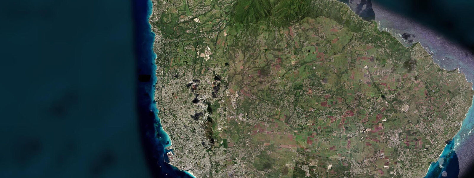
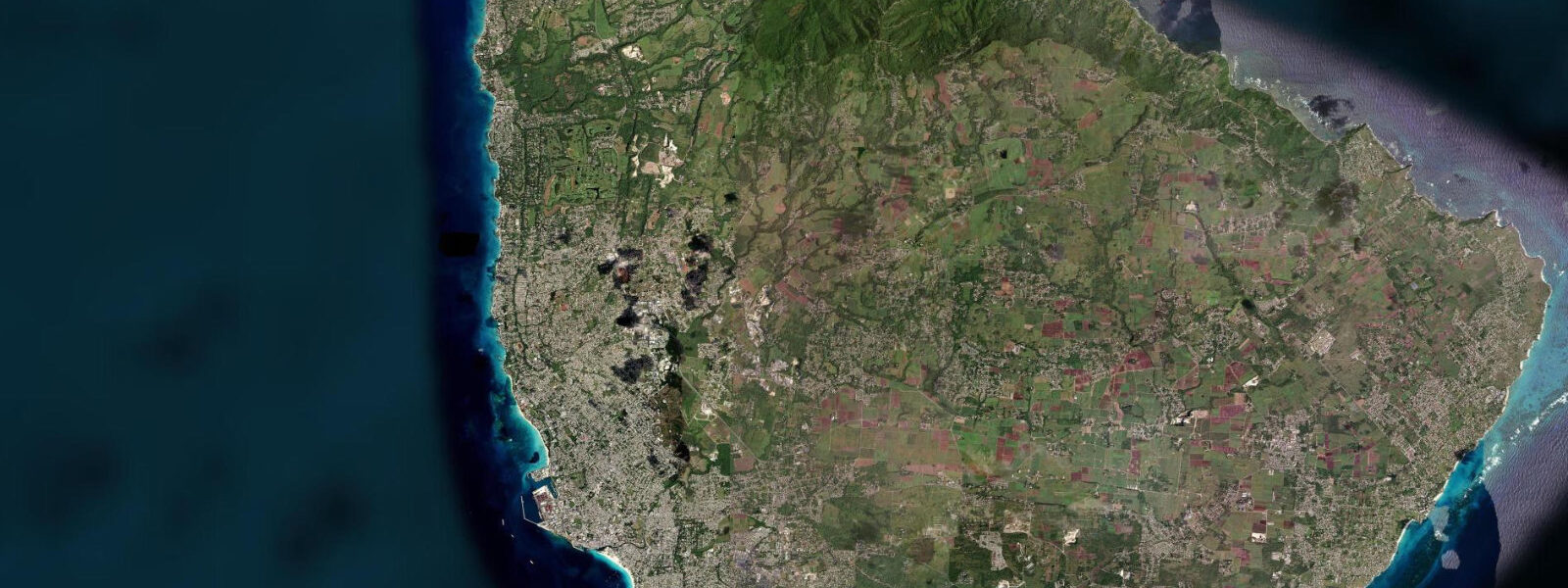
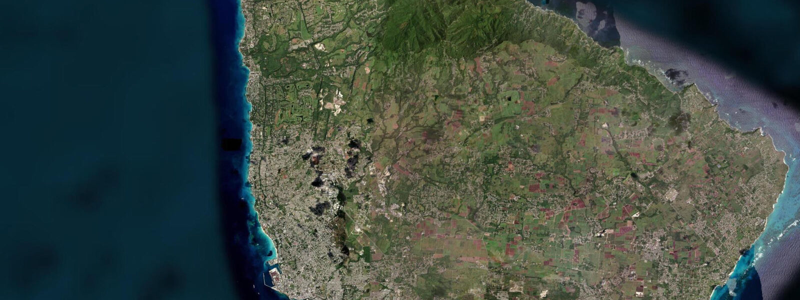
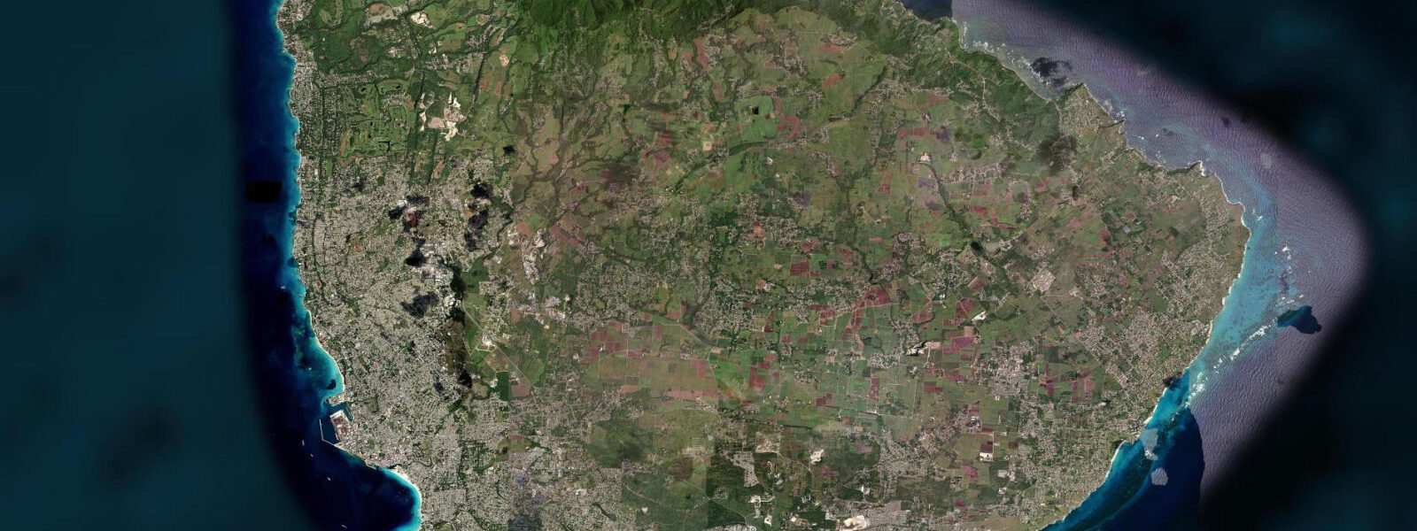
Carlisle Bay sits on the southwest coast of Barbados, directly south of Bridgetown, sheltered from the open Atlantic by the Needham's Point headland to the southeast. Unlike most Caribbean bays, which experience tidal ranges under 0.3 m, Carlisle Bay registers a mean spring range of 0.8–1.2 m — a consequence of Barbados's position on the Atlantic-facing eastern edge of the Caribbean, where Atlantic tidal forcing penetrates more strongly than in the enclosed western Caribbean Sea. This larger range has practical consequences for every activity in the bay.
At high spring water, Browne's Beach — the main strand running along the bay's northern arc — narrows to 15–20 m of dry sand. Low spring water expands it by 20–30 m, pushing the shoreline well clear of the anchored yachts and revealing firm, sheltered sand ideal for walking. Pebbles Beach, immediately south of the main anchorage, follows the same pattern: at low water the beach is 30–40 m wide and the water stays knee-deep 20 m from shore — the quietest and most family-friendly window of the tidal cycle. High water at Carlisle Bay runs roughly two highs and two lows each day, with the spring cycle repeating on a roughly 14-day interval.
The Careenage, the tidal inlet at the heart of Bridgetown directly north of the bay, drains and fills with each tidal cycle. Under the Chamberlain Bridge, the current runs 0.5–1.0 knots on spring tides — noticeable to anyone in a kayak or on a paddleboard and strong enough to set a small vessel sideways. The ebb runs roughly four hours after high water at the bay mouth; paddlers who plan a sunrise run up the Careenage from Browne's Beach should time their return to avoid working against the flood.
Below the surface, Carlisle Bay holds one of the best shallow wreck dives in the Caribbean. Four wrecks lie within easy boat range — the HMHS Bridgetown, the Berwind, the Eileen, and the Stavronikita, a Greek freighter scuttled in 1978 that now rests at 37 m. The Stavronikita is the deepest of the four and requires open-water certification; the others sit between 10 and 25 m and are accessible to recreational divers. All four are heavily colonised: sponge coverage on the Stavronikita hull is dense enough to read as a solid colour from above. Barracuda hold station at the bow sections of multiple wrecks; eagle rays cruise the sandy bottom between sites, and green turtles are resident across the bay year-round.
Green turtle nesting on Barbados runs June through October. The primary nesting beaches are further along the south and southeast coast, but turtles feeding in Carlisle Bay and the surrounding shallows are a consistent sighting during daylight dives and snorkel sessions throughout the nesting season. Approaching turtles from directly above or behind disrupts natural feeding behaviour — a 2 m lateral distance lets them continue without alarm.
For anglers, the bay itself is not a productive fishing ground — the anchorage and wreck traffic keep the water busy. The action is outside Needham's Point, where the bottom drops sharply into deeper water and yellowfin tuna, wahoo, and mahi-mahi are accessible by charter from the Bridgetown Harbour fishing fleet, docked within sight of the container terminal to the north.
The Bridgetown Harbour container terminal is visible from the beach at the northern end of Carlisle Bay — a useful orientation landmark and a reminder that the bay sits at the working edge of a capital city. The anchorage between the beach and the harbour holds yachts on transatlantic passages year-round, most having crossed from the Canary Islands on the northeast trade wind. The bay's depth at anchorage — 5–10 m over sand — is deep enough to hold vessels comfortably but shallow enough that a dragging anchor in a squall reads on the surface.
Photographers working the bay get the best light on the wrecks in the morning, when the sun angle is low enough to penetrate to wreck depth without the midday greenish cast. Topside, Needham's Point at sunset — with the Careenage inlet in the foreground and the anchorage behind — is the best single frame in the bay.
Tide data for Carlisle Bay, Barbados comes from the Open-Meteo Marine API, a gridded model product. Timing accuracy is ±45 minutes, height accuracy ±0.3 m — usable for trip planning, not for navigation.
Tide questions about Carlisle Bay, Barbados
Quick answers to the most common questions about tide times, range, and water access at Carlisle Bay, Barbados.
What is the tidal range at Carlisle Bay, and why is it larger than most Caribbean beaches?
Carlisle Bay has a mean spring tidal range of 0.8–1.2 m, significantly larger than the 0.1–0.3 m typical of the enclosed western Caribbean. Barbados sits on the Atlantic-facing eastern rim of the Caribbean island arc, and Atlantic tidal forcing — generated by the moon's gravitational pull on the open ocean — penetrates directly to the island rather than being attenuated by enclosed sea geometry. The practical result is a beach that gains or loses 20–30 m of width across a single tidal cycle, and a Careenage current under the Chamberlain Bridge that runs 0.5–1.0 knots on spring tides. For anyone planning beach access, snorkelling, or paddling in the bay, checking the tide state matters more than it does on most Caribbean islands.
Which wrecks can I dive in Carlisle Bay, and what depth are they at?
Four main wrecks lie within the bay. The HMHS Bridgetown, Berwind, and Eileen all sit at 10–25 m and are accessible to recreational open-water divers. The Stavronikita — a Greek freighter scuttled in 1978 — rests at 37 m depth and requires advanced open-water certification. All four are colonised by corals and sponges, and all hold resident barracuda. Eagle rays and green turtles are consistent sightings across the site, particularly on the sandy bottom between the wrecks. Dive operators depart from the Bridgetown Harbour area just north of Browne's Beach. Morning dives get the best light penetration.
When is the best time for families with young children to use Browne's Beach and Pebbles Beach?
Low spring tide is the target window. At low spring water, Pebbles Beach — on the south side of the anchorage — is 30–40 m wide and stays knee-deep roughly 20 m from shore, giving small children a safe distance of flat, calm wading. Browne's Beach to the north behaves similarly. At high spring water the beach narrows to 15–20 m of dry sand and the bay deepens quickly. Spring tides occur on a roughly 14-day cycle; the tideturtle.com tide chart shows today's low times in local Barbados time. The bay itself is calm year-round — Needham's Point headland blocks the southeast trade swell — so wave action is not a concern.
Can I kayak from Carlisle Bay into the Careenage, and what should I know about the current?
Yes, the route from Browne's Beach north into the Careenage is straightforward in calm conditions and is a popular paddle. The current under the Chamberlain Bridge runs 0.5–1.0 knots on spring tides — not dangerous, but enough to set a kayak sideways in a narrow channel. The ebb runs roughly four hours after high water at the bay mouth. Timing the outbound leg on the flood (incoming tide) means you ride the current into Bridgetown and can exit before the ebb builds. Aquatic Club on Pebbles Beach is the primary kayak rental and launch point in the bay. Avoid the Careenage on the ebb if you are a beginner paddler.
Do green turtles nest near Carlisle Bay, and can I see them in the water?
Green turtles are resident in Carlisle Bay year-round as feeding animals, and nesting on the broader Barbados south coast runs from June through October. In the bay, turtles are most reliably seen during morning snorkel and dive sessions around the wrecks and on the sandy bottom in 5–15 m of water. Snorkellers approaching from the side at a 2 m lateral distance allow turtles to continue feeding undisturbed; approaching from above causes them to dive. The nesting beaches themselves are along the more remote southeast and south coast stretches — Carlisle Bay beaches are not primary nesting sites, but turtle sightings in the water are consistent throughout the nesting season.
7-day tide table — Carlisle Bay, Barbados
Heights relative to MSL. Predictions: Open-Meteo Marine (MeteoFrance SMOC, 0.08° grid) — heights relative to MSL (not chart datum / LAT). Model-derived.
| Day | Type | Time | Height |
|---|---|---|---|
| Fri 19 Jun | High | 05:55 | 0.5m |
| Low | 12:47 | -0.2m | |
| High | 19:18 | 0.4m | |
| Sat 20 Jun | Low | 00:50 | 0.1m |
| High | 06:54 | 0.5m | |
| Sun 21 Jun | Low | 02:15 | 0.1m |
| High | 08:10 | 0.4m | |
| Low | 14:18 | 0.0m | |
| High | 21:10 | 0.4m | |
| Mon 22 Jun | Low | 03:42 | 0.1m |
| High | 09:42 | 0.3m | |
| Low | 15:10 | 0.1m | |
| High | 21:50 | 0.4m | |
| Tue 23 Jun | Low | 04:45 | 0.0m |
| High | 22:50 | 0.5m | |
| Wed 24 Jun | — | ||
| Thu 25 Jun | Low | 06:54 | -0.0m |
| High | 13:15 | 0.3m | |
| Low | 18:00 | 0.2m | |