Long Hai, Southeast Vietnam tide times
Long Hai, Southeast Vietnam tide forecast — heights relative to MSL.
Today's tide times for Long Hai, Southeast Vietnam
Tide times at Long Hai, Southeast Vietnam on Friday, 19 June 2026: first high tide at 07:00, first low tide at 09:48, second high tide at 14:33, second low tide at 22:14. Sunrise 05:29, sunset 18:13.
Tide chart for Long Hai, Southeast Vietnam
24-hour cosine-interpolated curve around the present moment. Heights relative to MSL. Predictions: Predictions: Open-Meteo Marine (MeteoFrance SMOC, 0.08° grid).
Sun, moon and conditions on Fri 19 Jun
Snapshot at build time — refreshes daily. Sea state from Open-Meteo Marine.
Highs and lows next 7 days
Every predicted high and low for the next week, with the daily tidal coefficient (0–120; higher = bigger swing, > 95 means stronger currents).
Other spots nearby
The three closest curated TideTurtle locations to Long Hai, Southeast Vietnam, measured by great-circle distance.
Today's solunar windows
Solunar tradition: major periods are the ≈3h windows around moon transit and opposition; minor are ≈2h around moonrise and moonset. Pair with the local tide stage and wind for the best read.
Cycle dates near Long Hai, Southeast Vietnam
Last spring tide on Fri 19 Jun (range 2.8m). Next spring tide on Thu 25 Jun (range 1.8m). Next neap on Tue 23 Jun.
Spring tides cluster around new and full moons (biggest swings). Neap tides land on quarter moons (smallest swings). See the spring tide and neap tide glossary entries for the why.
About tides at Long Hai, Southeast Vietnam
A short guide to the coastline at Long Hai, Southeast Vietnam — geography, sea state, and what the tide is actually doing under your feet.
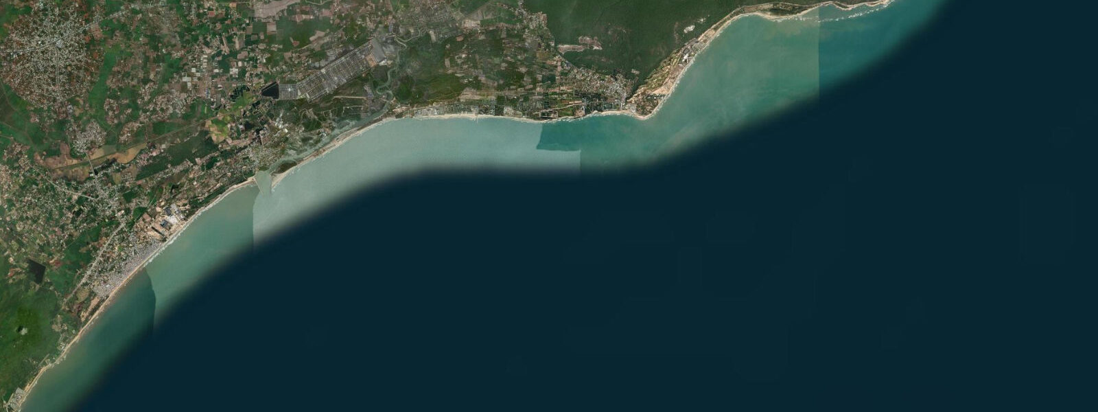
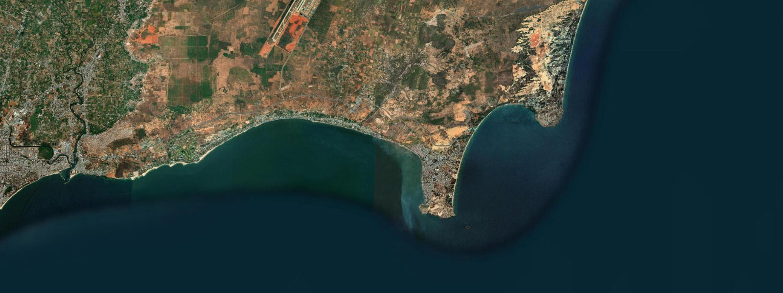
Long Hai sits in a semicircular bay in Bà Rịa-Vũng Tàu province, 30 km south of Bà Rịa city. Rocky headlands close each end of the bay. The town is small enough that the tidal rhythm is still visibly embedded in daily life — the fishing fleet, the beach width, and access to the Dinh Cô temple all move with the water.
The tidal range at Long Hai is among the larger along the South China Sea's southern Vietnamese coast. Mean spring range is 2.0–3.0 m — substantially bigger than at Mui Ne or Hoi An. The regime is diurnal-dominated mixed: one primary high and one primary low per day are the governing cycle, with any secondary event small enough that most users treat the day as a single tidal swing. The low tide typically falls in the early morning and the high in the early afternoon during the drier months; this inverts partially with the season, so checking the specific day's table matters more here than at lower-range sites.
The single most striking tidal feature at Long Hai is the Dinh Cô temple. The Dinh Cô Lady shrine occupies a granite outcrop at the southern end of the bay. At high spring water the rock is entirely surrounded by sea — a small island. As the tide falls through the ebb, a sand and rock causeway emerges connecting the shrine to the main beach. At the lowest spring tides of the month, the causeway is fully exposed and dry: roughly 60 m of packed sand and flat rock, 2–4 m wide, walkable in sandals. The window for dry-foot access is approximately two hours either side of the lowest daily low, which at Long Hai can be as low as 0.2–0.4 m above chart datum during spring cycles. Pilgrims visit the temple year-round, and on the spring low tides they walk the causeway in significant numbers — it is a meaningful local ritual, not just a tourist attraction. The causeway is never marked with permanent signage; it simply appears and disappears with the tide. At a neap low water of 0.8–1.0 m, the causeway is wet and passable with care but not dry. At high water it is submerged under 1.5–2.0 m of sea.
For photographers, the composition possibilities at the Dinh Cô outcrop change with each tidal state. At high tide the granite dome sits in open water against the headland backdrop — shoot from the beach with a long lens for a clean island shot. As the causeway emerges, a mid-tide frame captures the strip of sand with the temple at its end and people crossing. At low tide, shoot from the causeway itself looking back at the bay with the fishing boats and southern headland behind you.
The beach itself responds dramatically to the 2.0–3.0 m range. At high tide the beach width above the waterline narrows to 15–20 m in front of the central town area. At low spring water the beach widens by 80–100 m and the headland rocks at both ends of the bay expose fully, connecting the main beach to smaller coves around each headland. The northern headland rock connection, accessible only in the two hours around low water, leads to a narrow cove with calmer water and no fishing boat traffic — good for a swim without distraction. The southern headland connection leads around toward the Dinh Cô approach.
The fishing boats using Long Hai as a base are motorised inshore vessels, mostly 6–10 m fibreglass and wood hulls, working within 20 km of shore for squid and bottom fish. They work the bay sides for departure and return timing, with launches on the flood tide in the afternoon and returns in the early morning on the ebb. The sheltered bay geometry means sea state inside the bay is manageable at most tide states for the local fleet size.
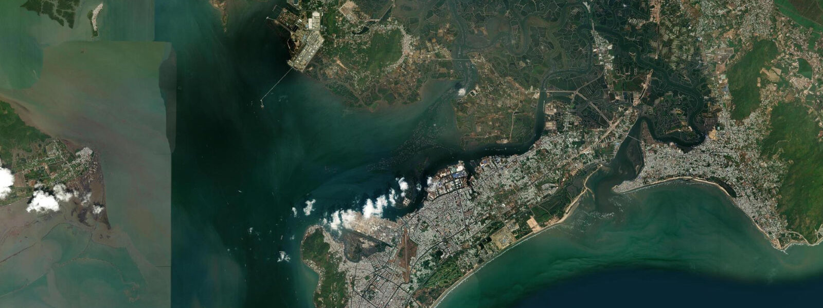
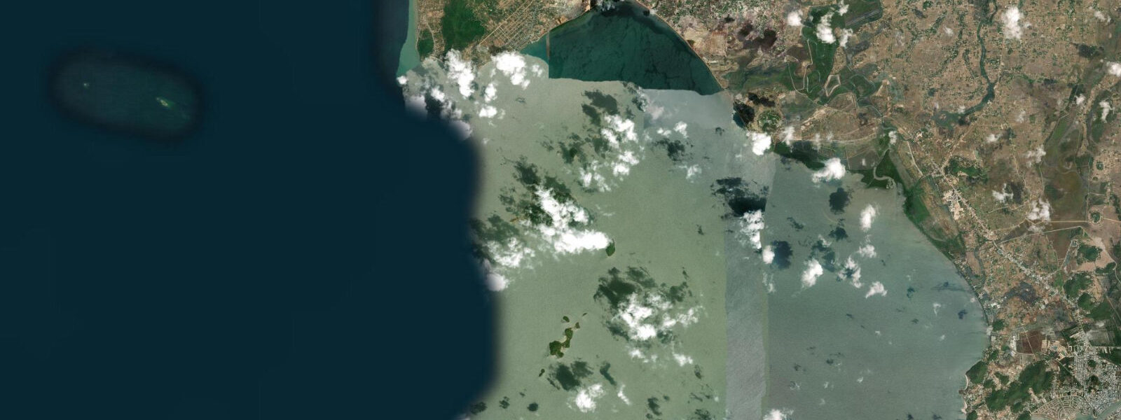
Hồ Cốc Beach, 30 km northeast along the coast through Bà Rịa-Vũng Tàu province, is the major undeveloped beach of the region — 17 km of open sand accessible through rubber plantations. It sits on an exposed coast without the headland protection of Long Hai, so its wave energy and beach character differ. On clear days from the Long Hai southern headland, the cape at Vũng Tàu (historically Cap Saint-Jacques) is visible to the west, 40 km by sea, its lighthouse and communication towers identifiable on the horizon. Vũng Tàu is the largest city in the province and its tidal range is similar to Long Hai — both sit in the same regional tidal regime.
Tide data for Long Hai, Southeast Vietnam comes from the Open-Meteo Marine API, a gridded model product. Timing accuracy is ±45 minutes, height accuracy ±0.3 m — usable for trip planning, not for navigation.
Tide questions about Long Hai, Southeast Vietnam
Quick answers to the most common questions about tide times, range, and water access at Long Hai, Southeast Vietnam.
When can you walk to the Dinh Cô temple on foot at Long Hai?
The sand and rock causeway connecting the main beach to the Dinh Cô granite outcrop emerges as the tide falls below approximately 0.8–1.0 m. For a dry-foot crossing with solid footing, you want the water at 0.4 m or below — that window falls in roughly the two hours centred on the lowest daily low tide. At Long Hai's mean spring range of 2.0–3.0 m, the lowest spring lows reach 0.2–0.4 m above chart datum, giving a fully exposed causeway of about 60 m in length and 2–4 m in width. At neap low water the causeway is wet and crossable with care. At high tide the outcrop is surrounded by 1.5–2.0 m of water. Check the day's tide table, identify the morning low, and plan your visit for the two hours either side of it. Local pilgrims follow the same logic.
How much does the beach widen at low tide in Long Hai?
At high spring tide the Long Hai beach front narrows to 15–20 m above the waterline. At low spring water the beach widens by 80–100 m — a significant change driven by the 2.0–3.0 m mean spring tidal range. The wide low-water flat exposes gently shelving sand that is safe for young children to paddle on. The headland rocks at both ends of the bay also emerge at low water, connecting the main beach to smaller coves around each point. These connections are only accessible in the two hours around the lowest tide of the day — one leads to a quiet cove on the northern side, one leads toward the Dinh Cô temple approach on the south. At high water both are submerged.
What is the tidal range at Long Hai compared to the rest of Vietnam?
Long Hai's mean spring tidal range of 2.0–3.0 m is one of the larger ranges on the South China Sea's Vietnamese coast. For comparison: Hoi An in central Vietnam runs 0.5–1.0 m, Quy Nhon 1.0–1.5 m, Mui Ne 0.8–1.5 m. Long Hai and Vũng Tàu sit in a southern coastal zone where the South China Sea's diurnal tidal regime produces bigger swings. The large range is why the Dinh Cô causeway phenomenon is so dramatic — a 2.5 m swing creates a visible island-to-connected-point transformation twice a day. The same range drives the 80–100 m beach width variation and the exposure of headland rock connections at each end of the bay.
Are the headland rocks safe to walk at Long Hai when they emerge at low tide?
The headland rock connections at both ends of Long Hai bay expose for approximately two hours around the lowest daily tide. The rock surface is granite — generally stable footing, but covered in algae and barnacles in the intertidal zone, which makes it slippery when wet. Wear water shoes or sandals with grip, not bare feet or flip-flops. The northern headland connection is easier — the exposed rock shelf is wider and the ledge to the cove beyond is only a short distance. The southern connection toward the Dinh Cô approach is narrower in places. Both should only be attempted at the lowest part of the ebb, not at mid-tide on a falling water when the rocks are still draining. Do not attempt in rough sea conditions regardless of tide height.
Is Hồ Cốc Beach accessible from Long Hai?
Hồ Cốc Beach is 30 km northeast of Long Hai by road through rubber plantations in Bà Rịa-Vũng Tàu province. The drive takes 40–50 minutes depending on road conditions. Hồ Cốc is 17 km of undeveloped open sand on an exposed coast — no headland protection, so wave energy is higher than at sheltered Long Hai bay. There is limited infrastructure and the beach is largely unpatrolled. It is a good option for a full-day excursion when you want open beach without the crowd dynamics of the Vũng Tàu resort area 40 km to the west. The tidal range at Hồ Cốc is similar to Long Hai — both sit in the same southern Vietnamese diurnal tidal zone, so planning logic for beach width and water access is transferable.
7-day tide table — Long Hai, Southeast Vietnam
Heights relative to MSL. Predictions: Open-Meteo Marine (MeteoFrance SMOC, 0.08° grid) — heights relative to MSL (not chart datum / LAT). Model-derived.
| Day | Type | Time | Height |
|---|---|---|---|
| Fri 19 Jun | High | 07:00 | 1.3m |
| Low | 09:48 | 0.8m | |
| High | 14:33 | 1.5m | |
| Low | 22:14 | -1.3m | |
| Sat 20 Jun | High | 05:54 | 1.4m |
| Low | 10:55 | 0.7m | |
| High | 15:34 | 1.3m | |
| Low | 23:05 | -0.9m | |
| Sun 21 Jun | High | 16:48 | 1.0m |
| Low | 23:51 | -0.5m | |
| Mon 22 Jun | High | 07:17 | 1.3m |
| Low | 13:24 | 0.3m | |
| High | 18:16 | 0.7m | |
| Tue 23 Jun | Low | 00:25 | -0.1m |
| High | 07:47 | 1.3m | |
| Low | 14:37 | 0.0m | |
| Wed 24 Jun | High | 08:20 | 1.2m |
| Low | 15:40 | -0.3m | |
| Thu 25 Jun | High | 08:43 | 1.2m |
| Low | 16:20 | -0.5m | |
| High | 23:47 | 0.9m |