Quy Nhon, Central Vietnam tide times
Quy Nhon, Central Vietnam tide forecast — heights relative to MSL.
Today's tide times for Quy Nhon, Central Vietnam
Tide times at Quy Nhon, Central Vietnam on Friday, 19 June 2026: first low tide at 07:00, first high tide at 11:04, second low tide at 20:12. Sunrise 05:16, sunset 18:12.
Tide chart for Quy Nhon, Central Vietnam
24-hour cosine-interpolated curve around the present moment. Heights relative to MSL. Predictions: Predictions: Open-Meteo Marine (MeteoFrance SMOC, 0.08° grid).
Sun, moon and conditions on Fri 19 Jun
Snapshot at build time — refreshes daily. Sea state from Open-Meteo Marine.
Highs and lows next 7 days
Every predicted high and low for the next week, with the daily tidal coefficient (0–120; higher = bigger swing, > 95 means stronger currents).
Other spots nearby
The three closest curated TideTurtle locations to Quy Nhon, Central Vietnam, measured by great-circle distance.
Today's solunar windows
Solunar tradition: major periods are the ≈3h windows around moon transit and opposition; minor are ≈2h around moonrise and moonset. Pair with the local tide stage and wind for the best read.
About tides at Quy Nhon, Central Vietnam
A short guide to the coastline at Quy Nhon, Central Vietnam — geography, sea state, and what the tide is actually doing under your feet.
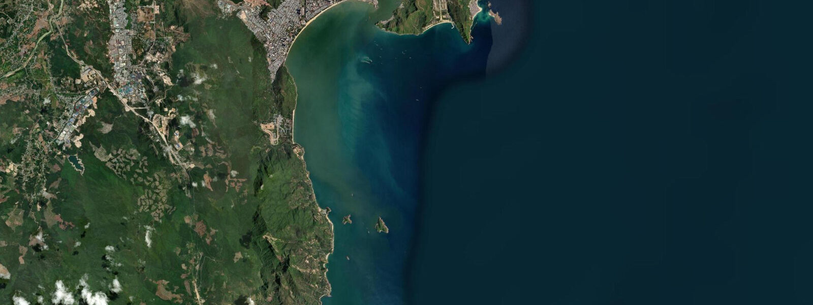
Quy Nhon is the working capital of Bình Định province — a port city backed by hills, with a 5 km bay beach of dark volcanic sand facing east onto the South China Sea. It is less visited than Đà Nẵng or Nha Trang, which means its tidal patterns and fishing rhythms are still largely intact and legible from the shore.
The tidal regime at Quy Nhon Bay is mixed semidiurnal with diurnal inequality, mean spring range 1.0–1.5 m. Two highs and two lows per day are typical, but one high tide is measurably taller than the other. The range is moderate — enough to change beach character noticeably between states, but not so large that access points flood dramatically. At high spring water the dark sand beach narrows to a 20–30 m strip; at low water it widens to 50–70 m and gentle bars emerge offshore, creating calm wading pools favoured by families. The wave exposure is northeast, so the bay catches swell during the northeast monsoon (November through March) and is calmer through the southwest season.
The tuna fleet is the most visible economic force in the port. Quy Nhon is Vietnam's leading tuna export city — longline vessels work the deep South China Sea for skipjack and yellowfin tuna and return loaded. The timing of arrivals at the main commercial harbour aligns with the flood tide in the early morning: an incoming flood between roughly 0500 and 0900 assists vessels entering the harbour entrance and reduces fuel needed to make headway against current. Fish buyers and processors are at the docks from 0500 onward, and the market activity peaks as the fleet arrives on that flood window. If you want to photograph or observe the unloading operation, be at the harbour by 0530.
Ky Co Beach (Kỳ Co) is 30 km south of Quy Nhon, accessible by road to Nhon Ly fishing village and then by boat across the bay. The beach sits against sea cliffs with emerald water — the colour comes from depth and a clean offshore bottom. The boat service from Nhon Ly operates through a shallow tidal channel inside the bay. At low water the channel depth drops to around 0.5–0.8 m and the flat-bottomed ferry boats scrape; boat operators at Nhon Ly will delay or cancel departures when the tide is below a workable threshold, typically avoiding the two hours either side of low water. Check the day's tide table and aim for the morning flood window, departing Nhon Ly between 0800 and 1100. Return trips work best before the mid-afternoon ebb deepens the current against you.
Eo Gio, the Gió Valley cliff trail, is 20 km northeast of Quy Nhon along a rocky coastline. The trail is 1.5 km out to an exposed headland and back, running along eroded sandstone cliffs above a tidal inlet. At its narrowest the trail crosses the head of the inlet, where the tidal water comes within metres of the path at high water. This crossing does not submerge at normal tides, but at spring high water — the highest tides of the month — the crossing gets cut to a 1.0–1.2 m-wide strip of rock and is not suitable for anyone unsteady on their feet or carrying a heavy pack. At low water the inlet drains to exposed mud and rock and the crossing is comfortably wide. Most visitors who are unfamiliar with local conditions should time arrival at Eo Gio to within two hours of low water. The trail itself is only safely walkable in dry conditions — the sandstone surface becomes dangerously slick after rain regardless of tide state.
Bãi Xép, the small fishing village 8 km south of the city centre, is where smaller-scale inshore fishing boats operate. The beach at Bãi Xép is narrow and sheltered in a cove — it gained international attention after an indie film was shot there. At high tide the cove beach is 10–15 m of sand backed directly against the rocks. At low tide a 30 m apron of sand and rock pools exposes, and the rock pools hold small crabs, urchins, and nudibranchs worth exploring at low water.
The Cham towers of Bánh Ít, 11th-century brick sanctuaries 25 km north of the city, sit inland on a hill above the Côn River. They are not tidal in any direct way, but the access road crosses the river floodplain and the Côn River itself is tidal in its lower reaches — the flat paddy fields between the towers and the coast flood during the wet season and the tidal influence pushes upstream during those months. For cultural visits, the towers are accessible year-round.
Tide data for Quy Nhon, Central Vietnam comes from the Open-Meteo Marine API, a gridded model product. Timing accuracy is ±45 minutes, height accuracy ±0.3 m — usable for trip planning, not for navigation.
Tide questions about Quy Nhon, Central Vietnam
Quick answers to the most common questions about tide times, range, and water access at Quy Nhon, Central Vietnam.
When do the tuna boats return to Quy Nhon harbour?
The longline tuna fleet from Quy Nhon returns to the main commercial harbour on the morning flood tide, typically arriving between 0500 and 0900. The incoming flood assists vessels navigating the harbour entrance and reduces fuel burn against current. Fish buyers, ice merchants, and processing workers are at the docks from around 0500. The unloading and early market activity peaks as the fleet concentrates on the flood window. The exact flood timing shifts by 45–50 minutes each day — check a current tide table for the specific day, then arrive at the harbour 30 minutes before the predicted low to catch the turn and the first arrivals. The main port quay is directly accessible from the city waterfront road.
Can you always get a boat from Nhon Ly to Ky Co Beach?
Not at every tide. The boat service from Nhon Ly fishing village to Kỳ Co Beach crosses a shallow channel inside the bay whose depth drops to 0.5–0.8 m at low water — shallow enough to strand or delay the flat-bottomed ferry boats. Operators typically cancel or hold departures for two hours either side of low water. The safest window is the morning flood: departing Nhon Ly between 0800 and 1100 gives good water in the channel and calm sea conditions at Ky Co. Return trips should be planned before the mid-afternoon ebb strengthens the current back through the channel. Check the day's tide table before driving the 30 km to Nhon Ly — arriving at low water without a return plan is a common mistake.
Is Eo Gio safe to walk at high tide?
At normal high tides the Eo Gio trail is passable but the tidal inlet crossing at the narrowest point narrows to a 1.0–1.2 m strip of rock. At spring high water — the biggest tides of the monthly cycle — that crossing becomes tight and unsuitable for anyone with a heavy pack, poor balance, or young children in tow. At low water the inlet drains and the crossing is comfortably wide. Most visitors unfamiliar with the site should target arrival within two hours of low water. The tide timing at Eo Gio follows the Quy Nhon bay pattern — mixed semidiurnal, so check which of the day's two low tides falls in daylight hours. The trail surface is the bigger hazard in wet weather: sandstone goes slick after rain regardless of tide state.
What is the tidal range at Quy Nhon Bay?
Mean spring tidal range at Quy Nhon Bay is 1.0–1.5 m — moderate by South China Sea standards. The pattern is mixed semidiurnal with diurnal inequality, meaning two highs and two lows per day with one high noticeably taller than the other. At high spring water the dark sand bay beach narrows to 20–30 m. At low water it widens to 50–70 m and gentle offshore bars emerge. The range is meaningful for boat access to Ky Co Beach and the Eo Gio trail inlet, but not so large that the main city waterfront floods at normal tides. The northeast monsoon from November through March increases wave exposure on the bay beach but does not significantly alter the tidal range.
When is the best time to explore rock pools at Bãi Xép?
Bãi Xép's cove beach is backed directly against rock at high tide, leaving only 10–15 m of sand. At low water a 30 m apron of sand and exposed rock pools opens at the base of the cliffs. These pools hold small crabs, urchins, nudibranchs, and reef fish trapped by the receding water — worth exploring slowly with a shallow tray or just your eyes. The clearest and widest pool exposure happens in the two hours around low tide. Because Quy Nhon runs a mixed semidiurnal pattern, there are typically two low tides per day, but one is lower than the other. The deeper of the two lows exposes more pool area. Avoid visiting the rock pools during the northeast monsoon swell months (November to March) when surge on the rocks makes them dangerous regardless of tide height.
8-day tide table — Quy Nhon, Central Vietnam
Heights relative to MSL. Predictions: Open-Meteo Marine (MeteoFrance SMOC, 0.08° grid) — heights relative to MSL (not chart datum / LAT). Model-derived.
| Day | Type | Time | Height |
|---|---|---|---|
| Fri 19 Jun | Low | 07:00 | 0.8m |
| High | 11:04 | 1.2m | |
| Low | 20:12 | -0.3m | |
| Sat 20 Jun | High | 11:55 | 1.1m |
| Low | 20:40 | -0.2m | |
| Sun 21 Jun | High | 12:45 | 0.9m |
| Low | 21:12 | 0.0m | |
| Mon 22 Jun | High | 05:10 | 0.6m |
| High | 13:50 | 0.7m | |
| Low | 21:20 | 0.2m | |
| Tue 23 Jun | High | 04:45 | 0.7m |
| Low | 21:10 | 0.3m | |
| Wed 24 Jun | — | ||
| Thu 25 Jun | — | ||
| Fri 26 Jun | High | 06:00 | 1.0m |