Da Nang, Central Vietnam tide times
Da Nang, Central Vietnam tide forecast — heights relative to MSL.
Today's tide times for Da Nang, Central Vietnam
Tide times at Da Nang, Central Vietnam on Sunday, 26 July 2026: first high tide at 07:00, first low tide at 14:42. Sunrise 05:26, sunset 18:20.
Tide chart for Da Nang, Central Vietnam
24-hour cosine-interpolated curve around the present moment. Heights relative to MSL. Predictions: Predictions: Open-Meteo Marine (MeteoFrance SMOC, 0.08° grid).
Sun, moon and conditions on Sun 26 Jul
Snapshot at build time — refreshes daily. Sea state from Open-Meteo Marine.
Highs and lows next 7 days
Every predicted high and low for the next week, with the daily tidal coefficient (0–120; higher = bigger swing, > 95 means stronger currents).
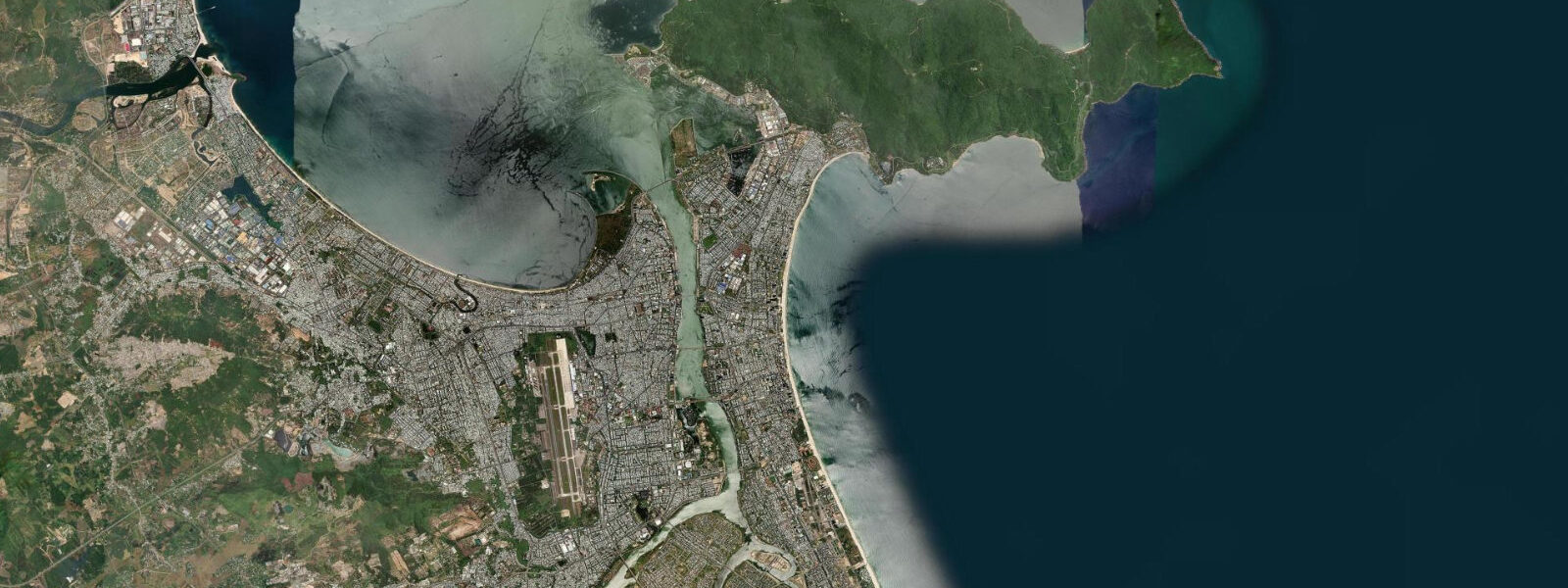
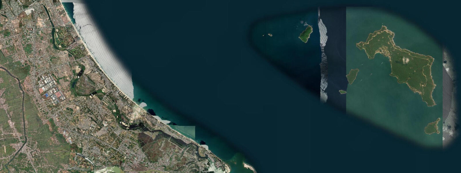
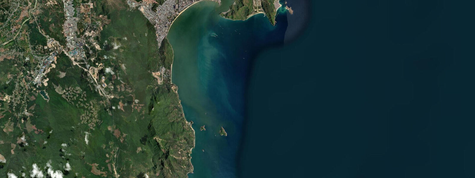
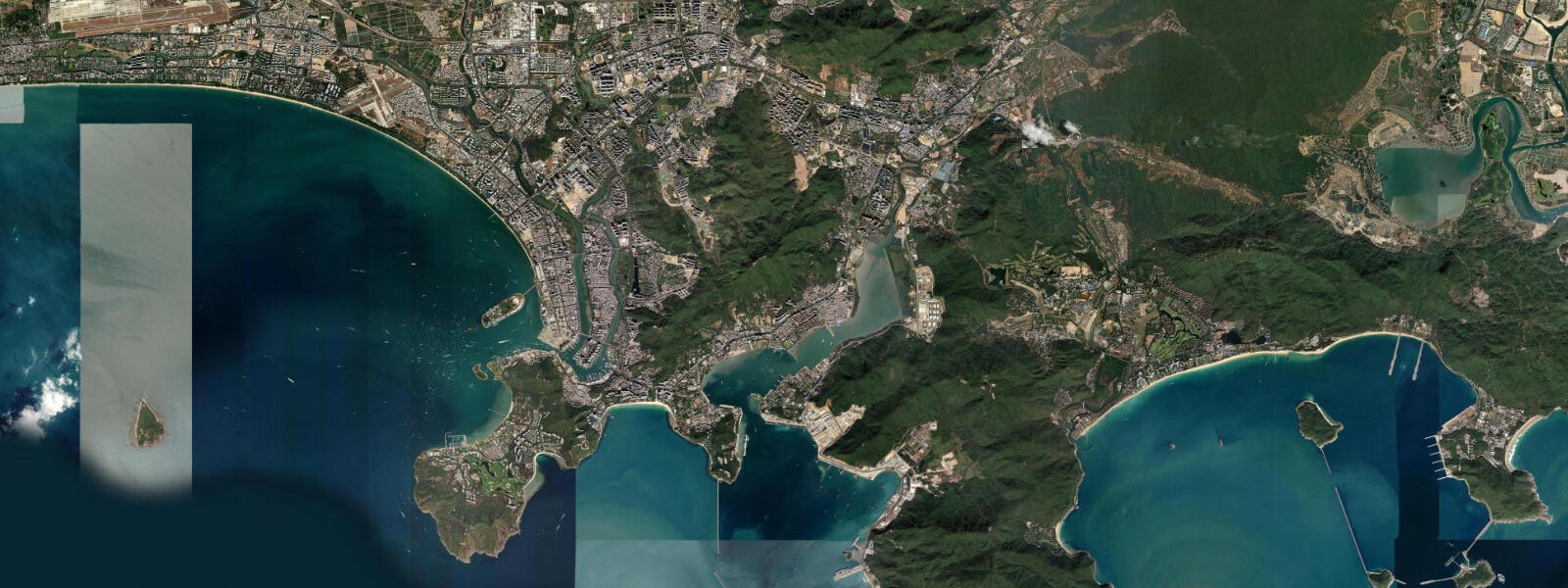
Other spots nearby
The three closest curated TideTurtle locations to Da Nang, Central Vietnam, measured by great-circle distance.
Today's solunar windows
Solunar tradition: major periods are the ≈3h windows around moon transit and opposition; minor are ≈2h around moonrise and moonset. Pair with the local tide stage and wind for the best read.
Cycle dates near Da Nang, Central Vietnam
Next spring tide on Thu 30 Jul (range 0.9m). Last neap on Sun 26 Jul. Next neap on Sat 01 Aug.
Spring tides cluster around new and full moons (biggest swings). Neap tides land on quarter moons (smallest swings). See the spring tide and neap tide glossary entries for the why.
About tides at Da Nang, Central Vietnam
A short guide to the coastline at Da Nang, Central Vietnam — geography, sea state, and what the tide is actually doing under your feet.
Da Nang fronts the South China Sea on Vietnam's central coast, with the long curve of My Khe and Non Nuoc beaches running south from the Han River mouth to the Marble Mountains and the Son Tra peninsula sheltering the working harbour to the north. The tide here is a small predominantly diurnal signal characteristic of the Gulf of Tonkin and the central Vietnamese coast. 4 on neaps.
Most days produce one clear high and one clear low rather than the two-and-two semidiurnal pattern that dominates open-ocean coasts; a smaller secondary excursion shows up at certain lunar phases but rarely matters for working-coast planning. The defining seasonal force is the monsoon split. From October through January the north-east monsoon drives swell, rain, and the seasonal flooding events that periodically inundate the Han River delta.
From May through August the south-west monsoon brings calm, hot weather and the working surf season at My Khe and Non Nuoc when the offshore wind cleans up the shore-break. The American military rebranded My Khe as China Beach during the war and operated an in-country R-and-R station there from 1965 through 1973; the long sand corridor that Australian and US troops surfed on three-day passes is now the city's main beach corridor, and the modern Vietnamese surf scene built on that history. The Marble Mountains hold a network of Hindu and Buddhist sanctuaries cut into the limestone karst that the Cham civilisation founded a millennium before the war.
Coracle fishermen working the inshore grounds, the bridge spans across the Han River for the working downtown, the Hoi An ancient town an hour south where the Thu Bon River meets the sea, and the cable car to the Ba Na Hills inland all read different parts of the working calendar. The Vietnam Hydrographic Department publishes the authoritative tide tables; Open-Meteo Marine drives the gridded predictions on this page.
Tide questions about Da Nang, Central Vietnam
Quick answers to the most common questions about tide times, range, and water access at Da Nang, Central Vietnam.
When is the next high tide at Da Nang?
The hero block shows the next high tide at the Tien Sa harbour gauge in local Vietnam time (ICT, UTC+7, no DST). The 7-day table covers all daily highs and lows. The diurnal pattern means most days produce one clear high and one clear low rather than two of each.
What's the typical tide range at Da Nang?
Mean range at Tien Sa is about 0.9 metres — a small predominantly diurnal signal. Spring tides push close to 1.4 metres and neaps drop near 0.4. Most days produce one clear high and one clear low; a smaller secondary excursion shows up at certain lunar phases but rarely matters. This is the Gulf of Tonkin and central-Vietnam pattern, smaller than Phuket's Andaman swing across the peninsula.
Where do these tide predictions come from?
Open-Meteo Marine, a gridded global ocean model. Useful for planning My Khe and Non Nuoc swimming windows, Hoi An riverside walks an hour south, Son Tra peninsula coastal-road timing, and the Cham Islands snorkel-trip scheduling. For authoritative Vietnamese tide data, the Vietnam Hydrographic Department publishes the official tide tables.
What's the China Beach surf-history connection at My Khe?
The American military rebranded My Khe as China Beach during the Vietnam War and ran an in-country R-and-R station there from 1965 through 1973. Off-duty US and Australian troops surfed the long shore-break on three-day passes, and the modern Vietnamese surf scene built on that history once the international circuit returned in the 1990s. The break works best on the south-west monsoon offshore wind from May through August. The local board-rental shops on the corniche and the surf schools at the south end of the beach all read the swell and the wind more than the tide.
Is this safe to use for navigation?
No. For piloting in or out of Tien Sa or transiting the Han River channel use the Vietnam Hydrographic Department authoritative tide tables, the Vietnam Maritime Administration pilotage guidance, and the National Centre for Hydro-Meteorological Forecasting storm warnings. Typhoon season runs June through November and tropical-storm surge can override the small astronomical signal completely.
8-day tide table — Da Nang, Central Vietnam
Heights relative to MSL. Predictions: Open-Meteo Marine (MeteoFrance SMOC, 0.08° grid) — heights relative to MSL (not chart datum / LAT). Model-derived.
| Day | Type | Time | Height |
|---|---|---|---|
| Sun 26 Jul | High | 07:00 | 0.9m |
| Low | 14:42 | 0.3m | |
| Mon 27 Jul | High | 07:00 | 0.9m |
| Low | 15:12 | 0.2m | |
| Tue 28 Jul | High | 07:42 | 1.0m |
| Low | 16:06 | 0.2m | |
| Wed 29 Jul | High | 00:10 | 0.8m |
| Low | 16:47 | 0.2m | |
| Thu 30 Jul | High | 09:06 | 1.1m |
| Low | 17:12 | 0.2m | |
| Fri 31 Jul | High | 09:55 | 1.0m |
| Low | 17:40 | 0.2m | |
| Sat 01 Aug | High | 00:42 | 0.8m |
| Low | 04:50 | 0.7m | |
| High | 10:40 | 1.0m | |
| Low | 18:04 | 0.2m | |
| Sun 02 Aug | High | 01:00 | 0.9m |
| Low | 06:00 | 0.7m |