Lakatoro tide times
Lakatoro tide forecast — heights relative to MSL.
Today's tide times for Lakatoro
Tide times at Lakatoro on Saturday, 4 July 2026: first high tide at 11:00am, first low tide at 01:37pm. Sunrise 06:18am, sunset 05:30pm.
Tide chart for Lakatoro
24-hour cosine-interpolated curve around the present moment. Heights relative to MSL. Predictions: Predictions: Open-Meteo Marine (MeteoFrance SMOC, 0.08° grid).
Sun, moon and conditions on Sat 04 Jul
Snapshot at build time — refreshes daily. Sea state from Open-Meteo Marine.
Highs and lows next 7 days
Every predicted high and low for the next week, with the daily tidal coefficient (0–120; higher = bigger swing, > 95 means stronger currents).
Other spots nearby
The three closest curated TideTurtle locations to Lakatoro, measured by great-circle distance.

Today's solunar windows
Solunar tradition: major periods are the ≈3h windows around moon transit and opposition; minor are ≈2h around moonrise and moonset. Pair with the local tide stage and wind for the best read.
Cycle dates near Lakatoro
Last spring tide on Sat 04 Jul (range 0.8m). Next spring tide on Fri 10 Jul (range 1.0m). Next neap on Wed 08 Jul.
Spring tides cluster around new and full moons (biggest swings). Neap tides land on quarter moons (smallest swings). See the spring tide and neap tide glossary entries for the why.
About tides at Lakatoro
A short guide to the coastline at Lakatoro — geography, sea state, and what the tide is actually doing under your feet.
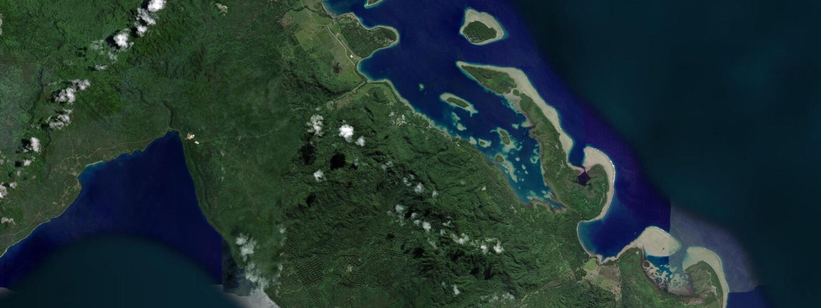
Lakatoro is the administrative capital of Malekula island, the second-largest island in Vanuatu and one of the most linguistically and culturally complex places on the planet. Over 30 distinct languages are spoken on Malekula alone — the island's Small Nambas and Big Nambas tribal groups in the interior have maintained ceremonial traditions, including graded society initiation rites, that have no parallel in the wider Pacific. Lakatoro itself is a small town by any measure, but as the island's main port and airstrip it is the starting point for almost everything on Malekula.
Tides at Lakatoro are mixed semidiurnal with a range of 1.0 to 1.5 metres. Two unequal highs and two unequal lows each day make the tidal cycle irregular in both timing and height. Open-Meteo Marine forecasts are accurate to ±45 minutes on timing and ±0.2 to 0.3 metres on height — adequate for planning coastal movement but not for navigating the shallow reef passages south of Lakatoro without local knowledge. The port itself sits in a sheltered embayment and is accessible at most tidal states for vessels drawing under 2 metres.
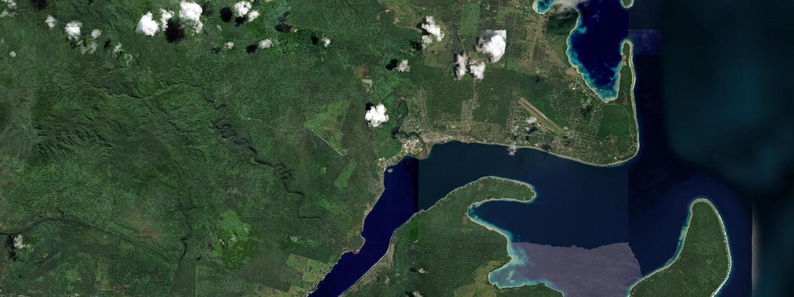
The coastal zone around Lakatoro offers reef snorkelling accessible from the beach in front of the main township area, with coral in 2 to 5 metres starting about 100 metres offshore. The reef is healthiest at the northern edge of the bay, away from the small-boat traffic around the port. Timing a snorkel entry for the flood tide (one to two hours after low water) gives the clearest water — the tidal current running into the embayment replaces turbid water flushed out on the ebb. An ebb tide near the port produces visible sediment from the disturbed harbour substrate.
Malekula's bigger draw is cultural tourism, but it requires patience and proper protocols. The inland villages of the Small Nambas (southwest interior) and Big Nambas (northwest plateau) are accessible by 4WD track from Lakatoro, but the roads are rough and seasonally impassable during the wet season (November to April). Cultural tourism operators in Lakatoro arrange village visits with advance permission — this is not a turn-up-and-watch experience. The graded society ceremonies (nimangki) are not performed for tourists, but everyday village life, kastom gardens, and traditional architecture are accessible to respectful visitors who have arranged proper introductions.
For sea kayaking, the coast between Lakatoro and the southern tip of Malekula offers a series of sheltered bays and reef passages. The standard multi-day itinerary runs south from Lakatoro toward Litzlitz and Port Sandwich, taking advantage of the prevailing southeast trade winds pushing north along the coast on the return. The flood tide running north along the west coast of Malekula adds roughly 0.5 knots of favourable current for northbound paddlers in the morning hours. Total distance from Lakatoro to Port Sandwich is approximately 60 kilometres by coastal route.
Lakatoro has a small hospital, a few basic guesthouses, a market operating on weekday mornings, and an airstrip served by Air Vanuatu. The flight from Port Vila takes approximately 45 minutes. Accommodation is basic — the guesthouses cater to government workers and the occasional backpacker rather than resort travellers. Bring cash in vatu (VUV); there is no ATM reliably operational in Lakatoro. The wet season (November to April) brings heavy rain and occasional cyclone risk; the dry season (May to October) gives the most reliable coastal conditions for any outdoor activity.
For those combining Malekula with the rest of Vanuatu, the standard itinerary pairs Lakatoro with Espiritu Santo to the north or Port Vila on Efate to the south. The cultural weight of Malekula sits apart from both of those islands — Santo has WWII history and dive infrastructure, Efate has the capital's amenities, but neither has the linguistic and ceremonial complexity that makes Malekula distinctive in the Pacific. Visitors prepared to move at the pace the island requires — waiting for village permissions, adjusting plans around 4WD track conditions, accepting basic guesthouse food — tend to leave with experiences that are difficult to replicate elsewhere in Melanesia.
Tide questions about Lakatoro
Quick answers to the most common questions about tide times, range, and water access at Lakatoro.
How do tides affect reef access around Lakatoro?
Lakatoro's tides run mixed semidiurnal with a 1.0 to 1.5 metre range. For snorkelling the bay reef, the optimal entry is one to two hours after low water on a flooding tide — incoming current clears turbid water flushed from the harbour on the ebb, and visibility improves markedly within 60 to 90 minutes of the turn. At low water on a spring tide, the inner reef flat shallows to under 0.5 metres and is effectively off-limits without wading across sharp coral. For the shallow reef passages south of town, tidal state is critical — some passages are impassable at low water even for kayaks. Open-Meteo Marine forecasts timing to ±45 minutes and height to ±0.2–0.3 metres; local knowledge from the guesthouse operators is also essential for the southern passages.
How do visitors arrange cultural village visits on Malekula?
Access to Small Nambas and Big Nambas villages requires advance permission arranged through a registered cultural tourism operator in Lakatoro or Port Vila. This is not a negotiable convention — turning up at an inland village without introduction is unwelcome and can create genuine tension. The operators handle the customary protocol (presentations of kava root and other goods to village chiefs) and provide guides who speak both Bislama and the relevant local language. Note that graded society ceremonies (nimangki) are not open to tourists; what is accessible is everyday village life, kastom gardens, and traditional architecture. Advance booking of at least two to three days is needed; last-minute requests are often refused because the village chief must give consent.
Is Malekula accessible year-round from Port Vila?
Air Vanuatu connects Lakatoro's airstrip to Port Vila with regular flights; journey time is approximately 45 minutes. Schedules vary by season — typically two to three frequencies weekly rather than daily. During the wet season (November to April), flights are sometimes delayed or cancelled due to cyclone activity or heavy rain affecting the unsealed runway. The island's interior 4WD roads become impassable in prolonged rain, limiting cultural tourism access to inland villages. May to October is the reliable window: southeast trades, dry conditions, navigable roads. Book flights well in advance during the June–August peak Pacific travel season.
What sea kayaking routes are possible from Lakatoro?
The most established coastal kayaking route runs south from Lakatoro to Port Sandwich, approximately 60 kilometres along Malekula's west coast. The itinerary typically takes three to four days, stopping at coastal villages with advance community permission. Southeast trade winds push north along the coast on most afternoons, making the southbound (outbound) leg best run in morning calm and the northbound return easier in the afternoon. The flood tide along Malekula's west coast runs northward in the early morning, adding roughly 0.5 knots of favourable current for the return leg. Open-Meteo Marine 7-day forecasts give enough lead time to plan daily stages. Kayak hire is not available in Lakatoro; bring equipment from Port Vila or arrange through an operator.
What practical facilities does Lakatoro have for travellers?
Lakatoro has a small hospital, several basic guesthouses catering mainly to government workers and NGO staff, and a weekday morning market selling produce and basic goods. There is no reliably functional ATM — carry sufficient vatu (VUV) from Port Vila before travelling. Cell coverage on the Digicel network is available in town but drops out on the roads to inland villages. Fuel (petrol and diesel) is available in town, relevant for those hiring vehicles. The wet season (November to April) brings heavy rain and occasional cyclone risk; the dry season (May to October) is the better planning window for any outdoor activity. Guesthouse meals are basic; the market and a few small stores cover self-catering needs.
8-day tide table — Lakatoro
Heights relative to MSL. Predictions: Open-Meteo Marine (MeteoFrance SMOC, 0.08° grid) — heights relative to MSL (not chart datum / LAT). Model-derived.
| Day | Type | Time | Height |
|---|---|---|---|
| Sat 04 Jul | High | 11:00 | 0.5m |
| Low | 13:37 | 0.2m | |
| Sun 05 Jul | High | 07:20 | 1.0m |
| Low | 14:12 | 0.3m | |
| High | 21:12 | 1.0m | |
| Mon 06 Jul | Low | 03:00 | 0.6m |
| High | 08:18 | 0.9m | |
| Low | 14:54 | 0.3m | |
| High | 21:55 | 1.0m | |
| Tue 07 Jul | Low | 15:40 | 0.4m |
| High | 22:40 | 1.1m | |
| Wed 08 Jul | Low | 05:42 | 0.5m |
| High | 11:00 | 0.8m | |
| Thu 09 Jul | Low | 06:40 | 0.4m |
| High | 12:45 | 0.8m | |
| Low | 17:42 | 0.6m | |
| Fri 10 Jul | High | 00:21 | 1.1m |
| Low | 07:38 | 0.3m | |
| High | 14:10 | 0.9m | |
| Low | 18:55 | 0.6m | |
| Sat 11 Jul | High | 01:16 | 1.2m |
| Low | 08:36 | 0.2m |