Port Vila tide times
Port Vila tide forecast — heights relative to MSL.
Today's tide times for Port Vila
Tide times at Port Vila on Saturday, 27 June 2026: first low tide at 11:00am, first high tide at 04:23pm, second low tide at 09:37pm. Sunrise 06:17am, sunset 05:21pm.
Tide chart for Port Vila
24-hour cosine-interpolated curve around the present moment. Heights relative to MSL. Predictions: Predictions: Open-Meteo Marine (MeteoFrance SMOC, 0.08° grid).
Sun, moon and conditions on Sat 27 Jun
Snapshot at build time — refreshes daily. Sea state from Open-Meteo Marine.
Highs and lows next 7 days
Every predicted high and low for the next week, with the daily tidal coefficient (0–120; higher = bigger swing, > 95 means stronger currents).
Other spots nearby
The three closest curated TideTurtle locations to Port Vila, measured by great-circle distance.
Today's solunar windows
Solunar tradition: major periods are the ≈3h windows around moon transit and opposition; minor are ≈2h around moonrise and moonset. Pair with the local tide stage and wind for the best read.
Cycle dates near Port Vila
Next spring tide on Tue 30 Jun (range 1.1m). Next neap on Sun 28 Jun.
Spring tides cluster around new and full moons (biggest swings). Neap tides land on quarter moons (smallest swings). See the spring tide and neap tide glossary entries for the why.
About tides at Port Vila
A short guide to the coastline at Port Vila — geography, sea state, and what the tide is actually doing under your feet.
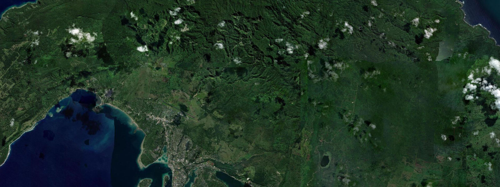
Port Vila is the capital of Vanuatu, sitting on the sheltered southwest coast of Efate Island in a harbour partly protected by Iririki Island at its entrance. The town climbs steeply from the waterfront market up through two ridge levels of streets, with views across the harbour on clear mornings that show the reef break on Mele Reef 3 km offshore. The waterfront itself is a compact strip of restaurants, resorts, and small-boat docks; the main commercial port operates from the deep-water berth at the eastern end of the bay.
The tidal regime at Port Vila is mixed semidiurnal with a spring range of approximately 1.1 m above Chart Datum. Neap range 0.4–0.6 m. The harbour's enclosed geometry and the influence of Iririki Island create mild tidal current inside the anchorage — typically 0.3–0.5 knots — that strengthens to 0.8–1.2 knots at the main harbour entrance on spring tides. The mixed character means the two daily high-water levels differ by up to 0.4 m on spring tides; the lower high water restricts passage over some of the shallower reef sections inside the lagoon that are navigable on the higher high.
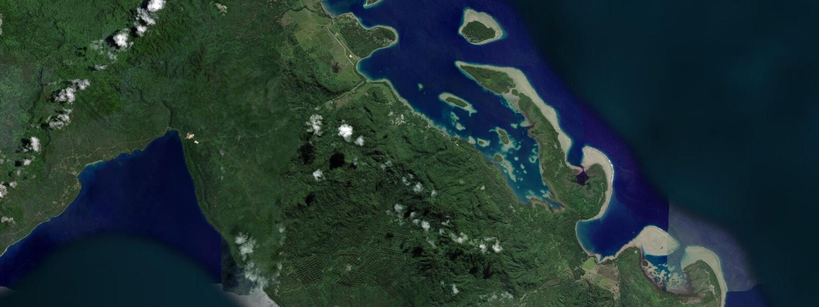
Mele Bay, 3 km northwest of the main harbour, is the primary recreational water-sports hub. Kayak and stand-up paddleboard rentals operate from the beach at Mele. The bay is reef-protected, with the main swell break on the outer Mele Reef absorbing southeast trade-wind swell before it reaches the beach. Mele beach is sandy and gently shelving; the water is swimmable at all tidal states, though the swimming depth changes from ankle to waist height between low and high tide on the inner sand flat. SUP boarding is best on the morning flood, when the bay is still and the trade winds haven't filled in — typically before 09:00.
For divers, the main sites around Port Vila are accessible regardless of tidal state, but visibility is best on the flood when oceanic water flows in over the reef. The SS Konanda (a small inter-island vessel) rests in 20–28 m at the harbour entrance — it is penetrable at recreational depth and accessible by boat from the main dive operators on the waterfront. Paul's Rock, a pinnacle rising from 40 m to 8 m at high water, generates upwelling on strong spring flood tides that concentrates pelagics above the peak.
Anglers work two primary windows from Port Vila. Trolling the outer reef break at Mele Reef on the flood produces wahoo, mahi-mahi, and yellowfin tuna as oceanic water pushes over the reef edge. Shore fishing from the breakwater at the commercial port targets trevally and snapper on the ebb at dawn. The inner harbour's gentle tidal current makes bait fishing from the waterfront restaurants' dock edges and public piers productive for goatfish and small reef species — these spots work at mid-tide regardless of direction.
Photographers shooting Port Vila have the harbour reflection as the hero subject: the Iririki Island resort in the background, the colourful outrigger canoes and small wooden trading vessels in the foreground, and the steep town ridge rising behind. Morning light (06:00–08:30) gives the warmest colour on the western ridgeline. Low spring water exposes the tidal flat at the inner end of the bay, which creates a foreground texture that disappears completely at high water. The afternoon thunderstorm that builds over the central highlands almost daily in November–April produces dramatic cumulonimbus over the ridge from 14:00–16:00 — combine low tide foreground with incoming storm cloud for high-drama images.
All tide predictions for Port Vila come from the Open-Meteo Marine gridded model. Timing accuracy is ±45 minutes; height accuracy is ±0.3 m above Chart Datum.
Tide questions about Port Vila
Quick answers to the most common questions about tide times, range, and water access at Port Vila.
What is the tidal range at Port Vila and when can I snorkel Mele Reef?
Port Vila's spring tidal range is approximately 1.1 m above Chart Datum, mixed semidiurnal. Mele Reef is best snorkelled on a rising flood from mid-tide upward — gauge reading above 0.5 m — when oceanic water flowing over the reef improves visibility and depth over the shallowest coral heads. Low spring water (below 0.3 m) exposes table corals on the inner reef flat that are unsafe to swim over. The outer reef face is snorkellable at all tidal states above 0.5 m; the current across the reef crest accelerates above 0.9 m on springs. Open-Meteo Marine predictions carry ±45 minutes timing and ±0.3 m height uncertainty.
Is the SS Konanda wreck affected by tidal current?
The SS Konanda rests at the Port Vila harbour entrance in 20–28 m. Spring tidal current at the entrance runs 0.8–1.2 knots — mild for experienced wreck divers but worth tracking for photographers using strobes inside the wreck, as even 0.5 knots of current at depth makes fine buoyancy control harder. Plan penetration dives for the slack-water window around either tidal turn, which typically gives 30–45 minutes of negligible current. Open-Meteo Marine predictions for tidal turns carry ±45 minutes timing uncertainty — allow that buffer in your dive plan.
When is the best time to paddleboard in Mele Bay?
Morning flood before 09:00 is the optimal SUP window at Mele Bay. At this time the bay surface is glassy, the trade winds have not yet filled in, and the flooding tide carries clean oceanic water into the bay, improving the water colour for photography. The tidal state also matters for the launch: at low spring water the sand flat at the southern end of Mele Beach is very shallow — launch from the northern end of the beach where water depth holds throughout the tidal cycle. A flooding tide provides a natural return assist if you choose to paddle toward the reef and drift back.
How does the cyclone season affect coastal access around Port Vila?
Cyclone season runs November through April. Vanuatu sits in a highly active cyclone track — Cyclone Pam in 2015 made direct landfall and produced catastrophic storm surge on Efate's north coast. During the season, tide predictions remain accurate for the astronomical component, but storm surge from a developing cyclone can add 1–3 m on top of predicted levels on very short notice. Vanuatu Meteorology and Geo-Hazards Department issues advisories. All coastal activity — snorkelling, diving, kayaking, fishing — should be suspended 24 hours before any forecast cyclone approach within 400 km.
What is Paul's Rock and what tidal conditions produce the best diving there?
Paul's Rock is a submerged pinnacle outside Port Vila harbour rising from 40 m depth to approximately 8 m below the surface at high water (7 m at low water with 1.1 m spring range). Strong spring flood tides generate upwelling over the peak that concentrates pelagics — barracuda schools, dogtooth tuna, and occasionally hammerhead sharks are reported. The best diving window is the first two hours of the spring flood when current is building over the peak. At spring neap tides the upwelling effect is reduced and the dive is more of a coral-wall exploration at depth. The site requires boat access from Port Vila dive operators.
8-day tide table — Port Vila
Heights relative to MSL. Predictions: Open-Meteo Marine (MeteoFrance SMOC, 0.08° grid) — heights relative to MSL (not chart datum / LAT). Model-derived.
| Day | Type | Time | Height |
|---|---|---|---|
| Sat 27 Jun | Low | 11:00 | 0.2m |
| High | 16:23 | 0.9m | |
| Low | 21:37 | 0.5m | |
| Sun 28 Jun | High | 03:23 | 1.1m |
| Low | 10:24 | 0.1m | |
| High | 17:07 | 0.9m | |
| Low | 22:12 | 0.5m | |
| Mon 29 Jun | High | 04:00 | 1.1m |
| Low | 11:02 | 0.1m | |
| High | 17:47 | 0.9m | |
| Low | 22:52 | 0.5m | |
| Tue 30 Jun | High | 04:36 | 1.1m |
| Low | 11:35 | 0.1m | |
| Wed 01 Jul | High | 05:10 | 1.1m |
| Low | 12:08 | 0.1m | |
| High | 19:00 | 1.0m | |
| Thu 02 Jul | Low | 00:00 | 0.6m |
| High | 05:45 | 1.1m | |
| Low | 12:46 | 0.1m | |
| High | 19:37 | 1.0m | |
| Fri 03 Jul | Low | 13:19 | 0.1m |
| High | 20:12 | 1.0m | |
| Sat 04 Jul | Low | 01:21 | 0.6m |
| High | 07:03 | 1.0m | |
| Low | 10:00 | 0.7m |