Magens Bay, St. Thomas tide times
Magens Bay, St. Thomas tide forecast — heights relative to MSL.
Today's tide times for Magens Bay, St. Thomas
Tide times at Magens Bay, St. Thomas on Saturday, 4 July 2026: first high tide at 12:00am, first low tide at 02:00pm. Sunrise 05:48am, sunset 07:00pm.
Tide chart for Magens Bay, St. Thomas
24-hour cosine-interpolated curve around the present moment. Heights relative to MSL. Predictions: Predictions: Open-Meteo Marine (MeteoFrance SMOC, 0.08° grid).
Sun, moon and conditions on Sat 04 Jul
Snapshot at build time — refreshes daily. Sea state from Open-Meteo Marine.
Highs and lows next 7 days
Every predicted high and low for the next week, with the daily tidal coefficient (0–120; higher = bigger swing, > 95 means stronger currents).
Other spots nearby
The three closest curated TideTurtle locations to Magens Bay, St. Thomas, measured by great-circle distance.

Today's solunar windows
Solunar tradition: major periods are the ≈3h windows around moon transit and opposition; minor are ≈2h around moonrise and moonset. Pair with the local tide stage and wind for the best read.
About tides at Magens Bay, St. Thomas
A short guide to the coastline at Magens Bay, St. Thomas — geography, sea state, and what the tide is actually doing under your feet.
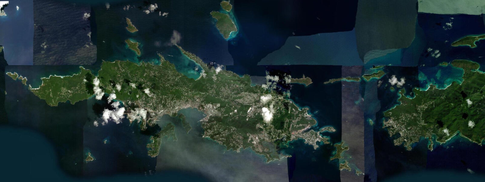
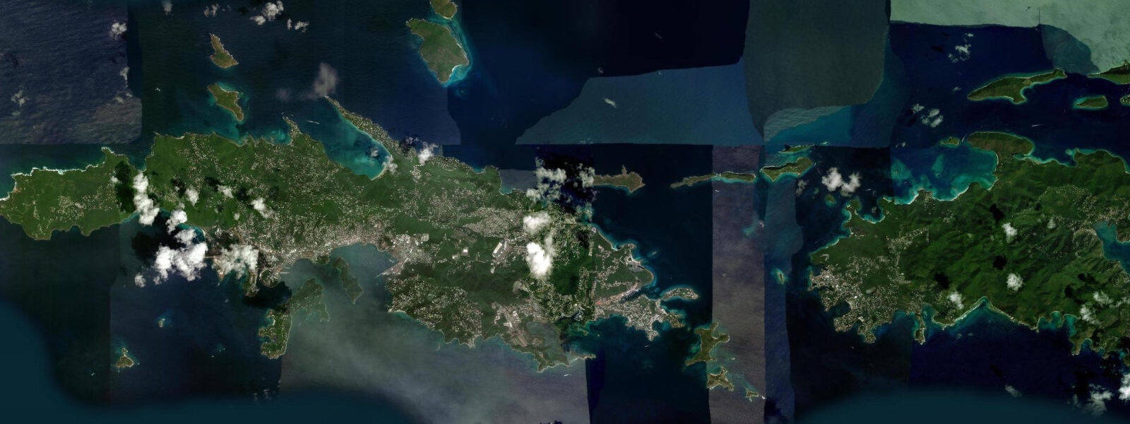
Magens Bay is a heart-shaped bay on the north coast of St. Thomas, sheltered on three sides by low forested ridges that drop to a long crescent of white sand. The bay faces north but the headlands on either side deflect the trade wind; the result is that Magens is calmer on most days than the more exposed beaches on the island's east end. This combination of shelter, soft sand, and consistent calm water has placed it on nearly every Caribbean best-beach list for decades.
The tidal regime here is Caribbean microtidal. Spring range at St. Thomas runs 0.3 to 0.5 metres — mixed semidiurnal, with two unequal highs and lows each day. For most activities at Magens Bay, the astronomical tide is almost invisible: the beach changes width by only a few metres between high and low, the water entry depth barely shifts, and swimming and paddling conditions are defined primarily by swell height and wind direction. Wind-driven water setup can shift the water level by as much as 0.3 m during strong north swells in winter, equalling or exceeding the astronomical tidal range.
Swimming is the primary activity. The bay is long enough (roughly 1.6 km) that the central section stays calm even when light trades are generating small chop at the bay mouth. The water is clear, shallow for the first 50 m, and the sand-bottom entry is free of reef. Families with young children find the bay reliably safe in the prevailing trade-wind conditions. Winter months bring the risk of north swell wrapping around the headlands, raising wave height at the bay mouth to 0.5–1.0 m and increasing the current; the inner section of the beach remains the calmest part.
Kayak and stand-up paddleboard rentals operate from the beach concessions. The sheltered interior of the bay is manageable for beginner paddlers in the light morning conditions before the trade wind builds (typically before 10:00). More experienced paddlers sometimes circumnavigate the headlands on flat-calm days, accessing the small rocky inlets on either side of the bay entrance.
Snorkelling at the rocky headland on the east side of the bay — locally called Picara Point — holds damselfish, parrotfish, and small grouper in 2 to 5 m of water. The reef is not pristine by Vieques or St. Croix standards, but it is accessible directly from the beach without a boat. The clearest water is in the morning before boat traffic and wind stir the sand. Slack tide, which occurs close to the predicted high or low water, gives the calmest current conditions at the headland.
Anglers fish the bay mouth from kayaks and small boats for jack, barracuda, and occasional bonefish on the east side flats. The incoming tide, from the predicted low through mid-flood, is the most active period for jack along the headlands. Shore casting from the rocky points either side of the bay entrance is productive in the early morning and evening light periods.
The entrance road to Magens Bay charges a small admission fee for beach access. Facilities include changing rooms, food vendors, and kayak/paddleboard rentals. Parking is limited; arriving before 09:00 on weekends avoids the worst of the overflow. The path from the parking area crosses a low ridge and descends to the beach — about a 5-minute walk.
Photographers know Magens Bay as one of the more reliably photogenic Caribbean beaches: the heart-shaped bay is most dramatically visible from the ridge above, with the green forested hills framing the turquoise water. Aerial shots (drone regulations apply in the USVI — check DCRA permits) capture the shape best. At beach level, the afternoon light from the west illuminates the beach face; morning light is side-on and picks up the water texture.
Predictions on this page come from Open-Meteo Marine, a global gridded ocean model. Accuracy is typically ±45 minutes on timing and ±0.2 to 0.3 metres on height. For a spring range of 0.3 to 0.5 m, the model uncertainty is a large fraction of the total signal. NOAA's Charlotte Amalie tide gauge (St. Thomas harbour) provides the most accurate nearby harmonic prediction for this coast.
Tide questions about Magens Bay, St. Thomas
Quick answers to the most common questions about tide times, range, and water access at Magens Bay, St. Thomas.
When is the next high tide at Magens Bay?
The predicted next high tide at Magens Bay is shown at the top of this page in Atlantic Standard Time (AST, UTC-4). Spring range is 0.3 to 0.5 metres — microtidal Caribbean. For most activities at Magens, wind direction and swell height matter more than the tide state. Predictions come from Open-Meteo Marine (gridded, ±45 min / ±0.2–0.3 m); NOAA's Charlotte Amalie gauge (St. Thomas) is the authoritative nearby reference.
Is Magens Bay safe for families with young children?
Magens Bay is one of the calmer beaches in the US Virgin Islands on most days. The protected bay dampens trade wind chop, the sand entry is free of reef, and the shallow zone extends 50+ metres from the shore. The exception is winter north swell events, when wave height at the bay mouth rises to 0.5–1.0 m. On those days, keep children in the inner section of the beach, furthest from the bay entrance. The tide range (0.3–0.5 m) does not meaningfully change the swimming character.
What is the best time of day to snorkel the headland reef?
The east headland reef at Magens Bay (Picara Point) is clearest in the morning before wind and boat traffic disturb the sand — typically before 09:30. The slack period near the predicted high or low tide gives the calmest current at the headland. There is no entry fee for the headland snorkel; access is from the beach. Bring your own gear — the bay concessions rent snorkel sets but stock is variable.
Where do these predictions come from?
Predictions for Magens Bay come from Open-Meteo Marine, a global gridded ocean model. The model produces tidal estimates from a geographic grid rather than from harmonic analysis of a local gauge. Accuracy class: ±45 minutes on timing, ±0.2 to 0.3 metres on height. NOAA's Charlotte Amalie tide station in St. Thomas Harbour is the closest authoritative harmonic reference for this coast.
Is this safe to use for navigation?
No. TideTurtle is a planning tool, not a nautical almanac. Vessel navigation around St. Thomas, including the approaches to Magens Bay from the north, requires current NOAA charts and attention to reef hazards on both the east and west headlands. The reef structure on the eastern headland of Magens Bay is close to the surface and unmarked by navigation aids. NOAA's Charlotte Amalie tide station provides the most accurate nearby harmonic reference for timing-critical operations. Open-Meteo Marine gridded predictions are not a substitute for gauge-calibrated harmonic predictions for any vessel operation.
6-day tide table — Magens Bay, St. Thomas
Heights relative to MSL. Predictions: Open-Meteo Marine (MeteoFrance SMOC, 0.08° grid) — heights relative to MSL (not chart datum / LAT). Model-derived.
| Day | Type | Time | Height |
|---|---|---|---|
| Sat 04 Jul | High | 00:00 | 0.4m |
| Low | 14:00 | 0.2m | |
| Sun 05 Jul | — | ||
| Mon 06 Jul | — | ||
| Tue 07 Jul | High | 01:00 | 0.3m |
| Low | 09:00 | 0.2m | |
| Wed 08 Jul | — | ||
| Thu 09 Jul | High | 18:00 | 0.4m |