Cruz Bay tide times
Cruz Bay tide forecast — heights relative to MSL.
Today's tide times for Cruz Bay
Tide times at Cruz Bay on Saturday, 27 June 2026: first low tide at 11:00am. Sunrise 05:45am, sunset 06:58pm.
Tide chart for Cruz Bay
24-hour cosine-interpolated curve around the present moment. Heights relative to MSL. Predictions: Predictions: Open-Meteo Marine (MeteoFrance SMOC, 0.08° grid).
Sun, moon and conditions on Sat 27 Jun
Snapshot at build time — refreshes daily. Sea state from Open-Meteo Marine.
Highs and lows next 7 days
Every predicted high and low for the next week, with the daily tidal coefficient (0–120; higher = bigger swing, > 95 means stronger currents).
Other spots nearby
The three closest curated TideTurtle locations to Cruz Bay, measured by great-circle distance.

Today's solunar windows
Solunar tradition: major periods are the ≈3h windows around moon transit and opposition; minor are ≈2h around moonrise and moonset. Pair with the local tide stage and wind for the best read.
About tides at Cruz Bay
A short guide to the coastline at Cruz Bay — geography, sea state, and what the tide is actually doing under your feet.
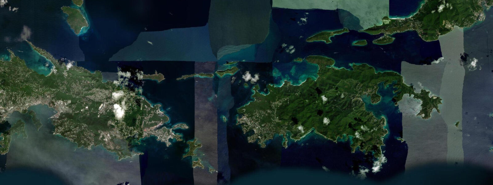
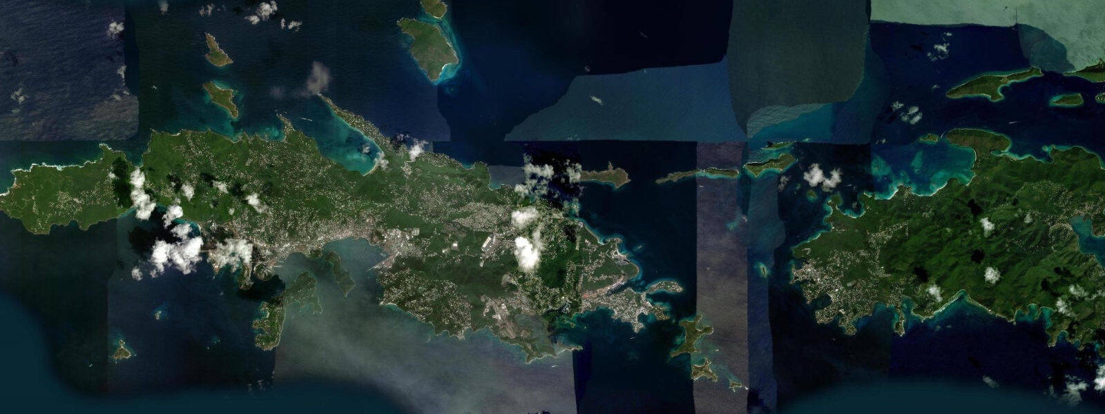
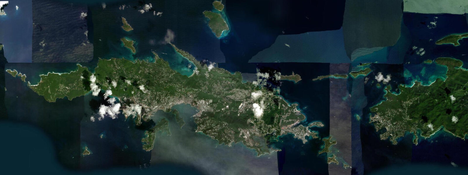
Cruz Bay is the ferry terminal, the only town, and the operational hub of St. John — the smallest of the three main US Virgin Islands and the one most shaped by its national park status. Virgin Islands National Park covers approximately 60 percent of St. John's land area plus 5,650 acres of adjacent waters, a designation that has preserved the island's original tropical forest, beaches, and nearshore reefs in a state that the more developed St. Thomas cannot match. The park was established in 1956 largely through land donated by Laurance Rockefeller; it has constrained development ever since, keeping St. John's permanent population under 5,000 and its nightly accommodation inventory limited.
The tidal regime at Cruz Bay is microtidal: mixed semidiurnal with a spring range of 0.2–0.3 m above Chart Datum, matching the rest of the USVI. The ferry channel between St. John and St. Thomas — the Pillsbury Sound passage — is navigated dozens of times daily by the scheduled ferry (Red Hook ferry terminal to Cruz Bay, 10 minutes; Charlotte Amalie to Cruz Bay, 45 minutes) and by private vessels. The passage depths of 12–25 m and the minimal tidal range mean navigation is unrestricted by tidal state at any time. The tidal current through Pillsbury Sound is detectable — 0.3–0.5 knots on spring tides — but not operationally significant for any powered vessel.
For beach visitors, Cruz Bay is the access point for St. John's beaches rather than a destination in itself. The town has a small sandy beach on the south side of the ferry terminal, but the primary draws are Trunk Bay (5 km east on the north coast) and Cinnamon Bay (7 km east), both within the national park. Trunk Bay has an underwater snorkel trail along its north reef — a 200-metre marked route in 1.5–3.0 m of water. The trail is accessible at all tidal stages; the 0.2–0.3 m spring range makes a negligible difference to the depth over the trail markers. The beach at Trunk Bay is one of the Caribbean's most photographed: a 500-metre arc of white sand facing north with the British Virgin Islands visible on the horizon. At low spring water the beach widens by 5–8 m — a minimal change given the microtidal range.
Cinnamon Bay is slightly less visited than Trunk Bay and has a campsite operated by the national park concession — the only large-scale camping in the USVI. The bay faces north, has consistent trade wind, and offers snorkelling on the reef structure at its eastern end. The campsite beach is on the western edge of the bay where wind and wave are lowest. Kayak rentals at Cinnamon Bay allow exploration of the bay and the adjacent Cinnamon Cay, where a coral reef at 1–3 m depth holds stingrays, turtles, and snapper. Tidal state has minimal effect on kayaking in this sheltered environment.
For more advanced snorkellers and divers, the waters of the national park's marine component at Waterlemon Cay on the north coast, Johnson's Reef off the east coast, and the coral gardens at Henley Cay are the higher-quality sites. Waterlemon Cay is reached by a 15-minute hike from the Leinster Bay trailhead; the snorkel from shore crosses 200 m of protected bay in 1.0–2.5 m of water before reaching the cay's reef. Sea turtles are resident on these reefs year-round; hawksbill and green turtles use the seagrass beds in Leinster Bay as feeding grounds. Tidal state — within the 0.2–0.3 m spring range — does not affect turtle sightings or reef access in any material way.
Hikers using the Reef Bay Trail — a 3.5 km descent from the Centerline Road through tropical forest to the south coast bay — reach tidal water at the end. The Reef Bay itself is calm, south-facing, and protected from the northeast trade swell by St. John's ridge; water at the Reef Bay beach access is 0.3–0.8 m deep close in at all tidal stages. The trail returns the same way it came; the national park runs occasional guided hikes with a boat shuttle from Reef Bay to Cruz Bay.
Anglers within the national park waters are restricted to catch-and-release fishing in many areas; the park boundary and its fishing regulations should be consulted before launching from Cruz Bay. Outside the park boundary, trolling for pelagics and bottom fishing on the reef patches between St. John and St. Croix is unrestricted. Tarpon work the Cruz Bay ferry dock at night under the pier lights on the flood tide — the same pattern as Christiansted's boardwalk fishery.
All tide predictions for Cruz Bay come from the Open-Meteo Marine gridded model. Timing accuracy is ±45 minutes; height accuracy is ±0.3 m above Chart Datum.
Tide questions about Cruz Bay
Quick answers to the most common questions about tide times, range, and water access at Cruz Bay.
How do you get to Cruz Bay from St. Thomas and does tidal state affect the ferry?
Ferries run from Red Hook on St. Thomas's eastern tip to Cruz Bay every 30–60 minutes throughout the day, taking approximately 10 minutes. A longer ferry from Charlotte Amalie runs several times daily and takes 45 minutes. Both routes cross Pillsbury Sound in water 12–25 m deep; the 0.2–0.3 m tidal range and 0.3–0.5 knot spring tidal current through the sound have no operational effect on the scheduled service. The ferry runs year-round in all but the most severe weather. Private water taxis offer on-demand service between Charlotte Amalie, Red Hook, Cruz Bay, and the offshore cays.
What is the Trunk Bay underwater snorkel trail and how accessible is it?
The Trunk Bay snorkel trail is a 200-metre marked underwater route along the north reef in 1.5–3.0 m of water, managed by the National Park Service. Entry from the beach is straightforward at all tidal stages — the 0.2–0.3 m spring range makes no practical difference to the depth over the trail markers. The trail is suitable for all ability levels in calm conditions; morning is generally calmer than afternoon when trade wind builds. A modest entry fee is charged at Trunk Bay. The national park limits visitor numbers at peak times; arrive before 09:00 to avoid the heaviest day-tripper traffic from St. Thomas.
Are sea turtles reliably seen while snorkelling around St. John?
Hawksbill and green sea turtles are year-round residents in the national park waters around St. John. The seagrass beds in Leinster Bay and the reef structure around Waterlemon Cay on the north coast are the most reliable turtle-sighting areas. Snorkelling the 200 m from the Leinster Bay shore to Waterlemon Cay and back is a standard 30–60 minute excursion; turtle encounters are common on this route. Tidal state within the 0.2–0.3 m spring range does not affect turtle presence or distribution. Morning snorkelling in calm water before trade wind builds is most comfortable for surface swimmers.
What kayak routes are accessible from Cruz Bay and the national park beaches?
Cinnamon Bay rental operation provides kayaks for exploring the bay and adjacent Cinnamon Cay reef. From Cruz Bay itself, sheltered paddling in the harbour and toward Caneel Bay (1 km north) is accessible to beginners. More advanced kayakers explore the north coast from Cruz Bay to Leinster Bay — 8 km of protected coastline with reef snorkel access at multiple points — in a half-day paddle. The Pillsbury Sound crossing to St. Thomas (5 km) is for experienced sea kayakers only; the ferry traffic and spring tidal current of 0.3–0.5 knots make the crossing busy. Trade wind build-up after 11:00 affects all exposed routes; plan to be off the north coast headlands by midday.
What fishing is permitted around St. John and the national park waters?
Virgin Islands National Park marine boundaries restrict most fishing within the park; specific areas are designated no-take zones and others allow catch-and-release only. The park website and the Cruz Bay visitor centre carry current regulations. Outside the park boundary — east and south of St. John toward the open Caribbean — bottom fishing on reef patches at 15–40 m and trolling for pelagics is unrestricted. Tarpon fishing from the Cruz Bay ferry dock under the pier lights on the evening flood tide is a local activity tolerated at the pier area. Check current park regulations for any specific site before fishing, as boundaries and rules have been updated periodically.
4-day tide table — Cruz Bay
Heights relative to MSL. Predictions: Open-Meteo Marine (MeteoFrance SMOC, 0.08° grid) — heights relative to MSL (not chart datum / LAT). Model-derived.
| Day | Type | Time | Height |
|---|---|---|---|
| Sat 27 Jun | Low | 11:00 | 0.0m |
| Sun 28 Jun | — | ||
| Mon 29 Jun | — | ||
| Tue 30 Jun | High | 22:00 | 0.4m |