Charlotte Amalie tide times
Charlotte Amalie tide forecast — heights relative to MSL.
Tide chart for Charlotte Amalie
24-hour cosine-interpolated curve around the present moment. Heights relative to MSL. Predictions: Predictions: Open-Meteo Marine (MeteoFrance SMOC, 0.08° grid).
Sun, moon and conditions on Sat 27 Jun
Snapshot at build time — refreshes daily. Sea state from Open-Meteo Marine.
Highs and lows next 7 days
Every predicted high and low for the next week, with the daily tidal coefficient (0–120; higher = bigger swing, > 95 means stronger currents).
Other spots nearby
The three closest curated TideTurtle locations to Charlotte Amalie, measured by great-circle distance.

Today's solunar windows
Solunar tradition: major periods are the ≈3h windows around moon transit and opposition; minor are ≈2h around moonrise and moonset. Pair with the local tide stage and wind for the best read.
About tides at Charlotte Amalie
A short guide to the coastline at Charlotte Amalie — geography, sea state, and what the tide is actually doing under your feet.
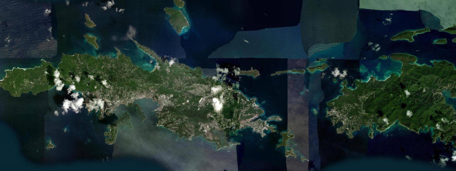
Charlotte Amalie is the capital of the US Virgin Islands, a harbour city on the south coast of St. Thomas that has been one of the Caribbean's most important trading ports since the Danish West India Company established a trading post here in 1672. The natural harbour — a deep, sheltered bay surrounded by steep volcanic hills — made Charlotte Amalie attractive to the Danes as a free port, and the warehouses that once held sugar, rum, and cotton still stand on the waterfront as Havensight Mall and the Main Street shopping district. Today the same harbour accommodates 6–8 cruise ships simultaneously during peak season, delivering a daily passenger count that can equal or exceed the island's permanent population of 13,000.
The tidal regime at Charlotte Amalie is microtidal: mixed semidiurnal with a spring range of approximately 0.2–0.3 m above Chart Datum — the smallest in this collection of Caribbean places. The eastern Caribbean around the USVI is among the least tidal marine environments outside the Mediterranean and Baltic. Mean high water springs reaches approximately 0.2 m above Chart Datum; mean low water springs sits near 0.0 m. The diurnal inequality is pronounced; during certain lunar phases the two daily tidal cycles are very unequal in range, and on neap periods the tidal range can drop to 0.05–0.10 m — barely distinguishable from wave set-up and atmospheric pressure variation. Sea state in the harbour is controlled by the protected geometry and the cruise ship traffic rather than tidal state.
For boaters, Charlotte Amalie is a major Caribbean yachting hub. The Crown Bay marina on the western side of the harbour and the numerous anchorages in the St. Thomas south coast bays handle hundreds of boats. The 0.2–0.3 m tidal range means mooring lines and anchor scope calculations are dominated by surge from passing vessels and weather swells rather than tidal adjustment. The duty-free port status makes Charlotte Amalie a victualling and chandlery hub; provisioning a yacht here before heading to the BVI (25 km east) or the eastern Caribbean is standard practice. Navigation between St. Thomas and the neighbouring islands uses the Pillsbury Sound passages and the Sir Francis Drake Channel — water depth in these passages is ample at all tidal stages.
The cruise ship infrastructure at Charlotte Amalie operates entirely independently of tidal state. The Havensight Pier complex and the Crown Bay cruise pier accommodate ships drawing 8–10 m; the harbour depths of 12–18 m in the main channel ensure clearance at any tidal phase given the 0.2–0.3 m range. The commercial activity of the harbour — water taxis, ferry services to Red Hook on St. Thomas's eastern end, and the inter-island ferries to St. John and the BVI — runs on schedule without tidal constraint.
For swimmers and snorkellers, the beaches on St. Thomas's north coast — Magens Bay, 5 km over the hill from Charlotte Amalie — are the primary destination. Magens Bay is sheltered from ocean swell by the surrounding ridge and offers calm, clear water. The 0.2–0.3 m tidal range shifts the Magens Bay waterline by 5–8 m over a spring cycle — barely perceptible as a tide-driven change. The south-coast beaches near Charlotte Amalie, including the small sand strips at Morningstar and Brewers Bay west of the harbour, have similar minimal tidal variation. Water clarity is higher west of the harbour where cruise ship traffic is less concentrated.
Snorkelling from the St. Thomas south coast accesses reef patches at 2–5 m depth on the rock and coral structure that extends from most headlands. At low spring water the shallowest sections of these reef patches sit 0.1–0.2 m below the surface — not a significant constraint in calm conditions, but worth noting for anyone drifting over the reef crest. The small tidal range means that unlike higher-range coastlines, there is no dramatically different low-tide reef exposure worth timing a visit around.
The Danish colonial architecture of Charlotte Amalie — the Fort Christian, the Government House above the harbour, the yellow brick warehouses (Pakhusene) along the waterfront — is best photographed in early morning before the cruise ships arrive and the waterfront becomes busy. Light on the hillside above the harbour from 06:30 to 08:30 illuminates the white and yellow colonial buildings against the dark green volcanic hillside. The harbour itself at dawn, with fishing boats and the occasional arriving yacht, is the quieter version of a place that by 09:00 on a cruise day has a completely different character.
All tide predictions for Charlotte Amalie come from the Open-Meteo Marine gridded model. Timing accuracy is ±45 minutes; height accuracy is ±0.3 m above Chart Datum.
Tide questions about Charlotte Amalie
Quick answers to the most common questions about tide times, range, and water access at Charlotte Amalie.
What is the tidal range at Charlotte Amalie and why is it so small?
Charlotte Amalie has a mixed semidiurnal spring range of 0.2–0.3 m — among the smallest of any Caribbean capital. The eastern Caribbean's microtidal character results from the ocean basin geometry: the tidal wave from the Atlantic interacts with the Caribbean basin in a way that produces very limited resonance amplification. During neap periods the range drops to 0.05–0.10 m, barely distinguishable from wind setup and atmospheric pressure variation. For practical coastal purposes — mooring lines, berth depth, beach access — tidal state is almost never the limiting factor at Charlotte Amalie.
How many cruise ships dock in Charlotte Amalie and how does traffic affect the waterfront?
Charlotte Amalie can accommodate 6–8 large cruise ships simultaneously at Havensight Pier and Crown Bay Pier. Peak season runs November through April; a fully loaded cruise day delivers 15,000–25,000 passengers to the island. The waterfront changes entirely on high-traffic days: Main Street's duty-free shops are packed by 09:00, water-taxi lines form at the pier, and the harbour is busy with tender operations. By 17:00 most ships have completed embarkation and the waterfront quiets. The harbour infrastructure is designed for ships drawing 8–10 m; the 0.2–0.3 m tidal range is operationally irrelevant for commercial vessels of this scale.
What snorkelling is available near Charlotte Amalie and does the tide matter?
Reef patches at 2–5 m depth extend from rocky headlands along St. Thomas's south coast within 15 minutes of Charlotte Amalie by water taxi or kayak. The shallowest reef sections sit 0.1–0.2 m below the surface at low spring water — a minor consideration in calm conditions. The small 0.2–0.3 m tidal range means there is no dramatic low-water reef exposure worth specifically timing a visit around. Water clarity is better west of the main harbour, away from the cruise ship traffic concentration. Coki Beach on the northeast coast (20 minutes by car over the ridge) and the USVI national park waters around St. John offer the clearest water in the territory.
Is Charlotte Amalie a good base for a USVI sailing or boating trip?
Charlotte Amalie is the primary provisioning and clearance hub for USVI cruising. Crown Bay marina on the western harbour handles boats up to 100 feet; the anchorage in the harbour and in the south-coast bays accommodates hundreds of vessels. Duty-free victualling, fuel, and chandlery are available without the overhead of a full marina berth. The 0.2–0.3 m tidal range requires no special mooring-line calculation; surge from passing vessels and weather swells governs line length. The British Virgin Islands are 25 km east through the well-marked Sir Francis Drake Channel — standard customs clearance at Charlotte Amalie is the typical preparation before crossing.
What is the best time to photograph Charlotte Amalie's colonial waterfront?
Before 08:30 on any day — and on non-cruise days for the quietest conditions. The light from 06:30 to 08:30 illuminates the hillside colonial buildings (Government House, the yellow brick warehouses) from the east with warm directional light. Fort Christian's red brick and the harbour water are at their calmest in this window. On cruise ship arrival days the first ships dock by 07:00 and the waterfront activity builds quickly; on non-cruise days the harbour carries only fishing boats, the inter-island ferries to Red Hook and St. John, and arriving yachts. Tidal state does not change the photography materially — the 0.2–0.3 m range produces no visible low-water exposure worth timing around.
7-day tide table — Charlotte Amalie
Heights relative to MSL. Predictions: Open-Meteo Marine (MeteoFrance SMOC, 0.08° grid) — heights relative to MSL (not chart datum / LAT). Model-derived.
| Day | Type | Time | Height |
|---|---|---|---|
| Sat 27 Jun | — | ||
| Sun 28 Jun | — | ||
| Mon 29 Jun | High | 22:00 | 0.4m |
| Tue 30 Jun | Low | 13:00 | 0.1m |
| Wed 01 Jul | — | ||
| Thu 02 Jul | — | ||
| Fri 03 Jul | High | 19:00 | 0.3m |