Punta del Diablo tide times
Punta del Diablo tide forecast — heights relative to MSL.
Today's tide times for Punta del Diablo
Tide times at Punta del Diablo on Saturday, 4 July 2026: first low tide at 06:17am, first high tide at 09:25am, second low tide at 12:37pm, second high tide at 04:13pm, third low tide at 06:07pm, third high tide at 09:15pm. Sunrise 07:39am, sunset 05:37pm.
Tide chart for Punta del Diablo
24-hour cosine-interpolated curve around the present moment. Heights relative to MSL. Predictions: Predictions: Open-Meteo Marine (MeteoFrance SMOC, 0.08° grid).
Sun, moon and conditions on Sat 04 Jul
Snapshot at build time — refreshes daily. Sea state from Open-Meteo Marine.
Highs and lows next 7 days
Every predicted high and low for the next week, with the daily tidal coefficient (0–120; higher = bigger swing, > 95 means stronger currents).
Other spots nearby
The three closest curated TideTurtle locations to Punta del Diablo, measured by great-circle distance.
Today's solunar windows
Solunar tradition: major periods are the ≈3h windows around moon transit and opposition; minor are ≈2h around moonrise and moonset. Pair with the local tide stage and wind for the best read.
Cycle dates near Punta del Diablo
Next spring tide on Sat 04 Jul (range 0.6m). Last neap on Fri 03 Jul. Next neap on Wed 08 Jul.
Spring tides cluster around new and full moons (biggest swings). Neap tides land on quarter moons (smallest swings). See the spring tide and neap tide glossary entries for the why.
About tides at Punta del Diablo
A short guide to the coastline at Punta del Diablo — geography, sea state, and what the tide is actually doing under your feet.
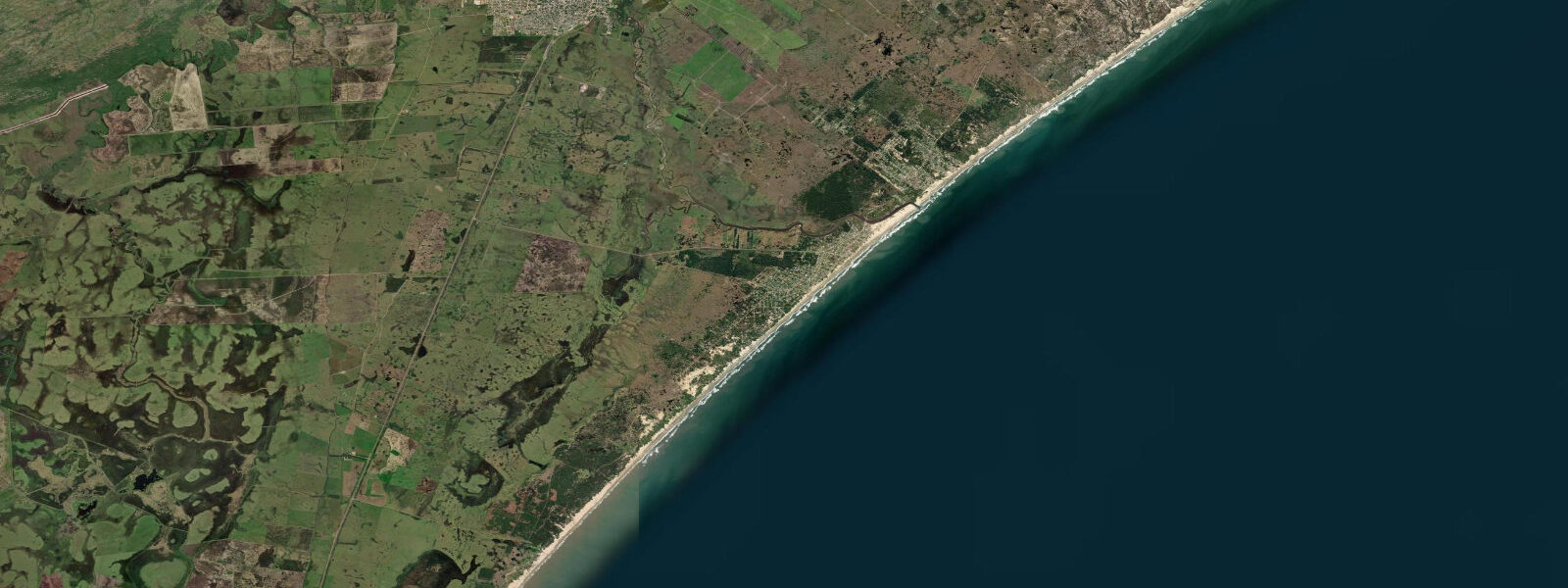
Punta del Diablo sits at the northeastern corner of Rocha Department, 20 kilometres south of the Brazilian border and about as far from Montevideo as you can get in Uruguay while still being on the Atlantic coast. It started as a working fishing village — the boats are still there, pulled up on the main beach — and over the past two decades it has added hostels, surf camps, and a summer economy built on budget travellers who can't afford Punta del Este or don't want it.
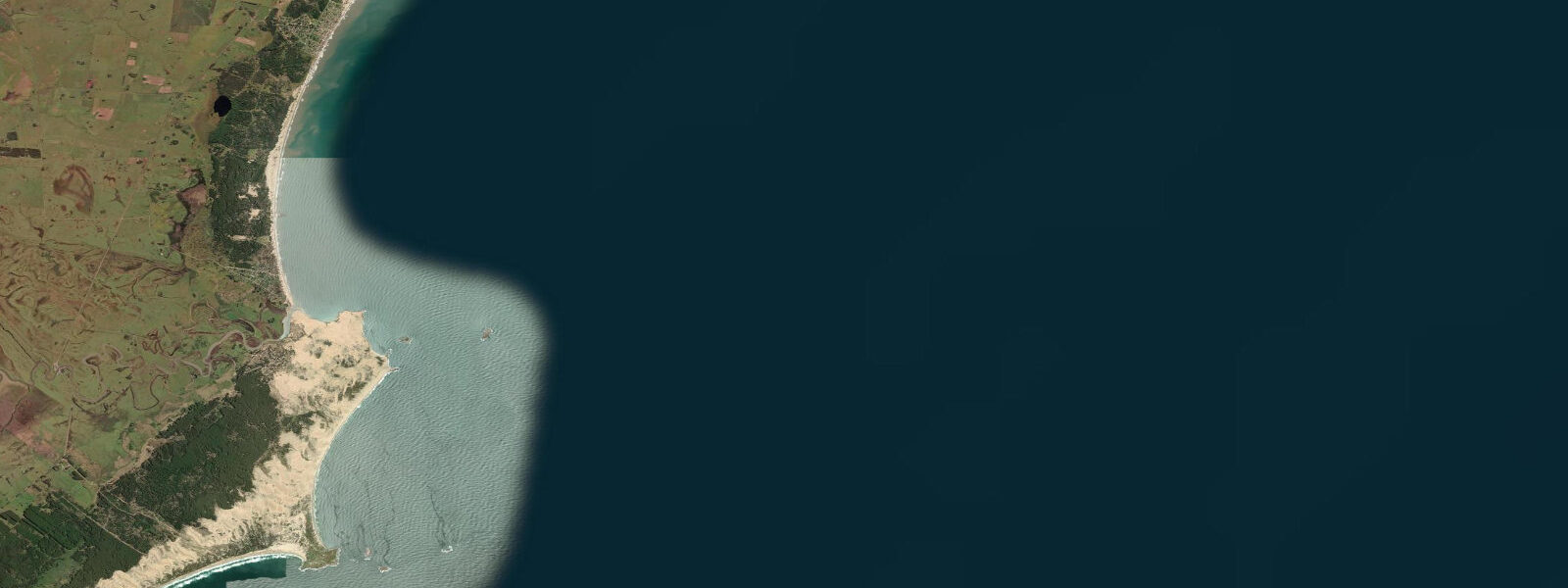
The geography is straightforward: a small rocky point with beaches on both sides. The main beach (Playa de los Pescadores) faces northeast and is where the fishing fleet operates. The boats launch through the shore break and return the same way — the operation requires timing and muscle, and watching it in a larger swell is worth getting up early for. The southern beach (Playa Grande) faces east and south, picking up more swell from the South Atlantic. A reef break operates on the point itself in larger swells from the south and southeast, producing a right-hander that can be clean when the wind is offshore (from the west or northwest). This is not a consistent break — it requires swell size, direction, and tide to align — but when it works it is the best wave in the immediate area.
The tidal range is 0.7 to 1.0 metres at spring tides. The mixed semidiurnal cycle means two sets of high and low water each day, though they are not equal. For surfers, the reef break on the point is most defined at mid-to-low tide, when the reef is shallow enough to shape the wave without it closing out. The beach break on Playa Grande works at most states of tide but is most consistent around mid-tide when the banks are covered but not drowned.
The community has changed fast since the early 2000s. It was genuinely isolated until the late 1990s — unpaved roads, no consistent electricity, three months of summer and nine months of fishing. Now there is reliable electricity, a paved road in from Chuy, and enough winter visitors that a handful of places stay open year-round. January brings 20,000-plus visitors to a village whose permanent population is around 200. The infrastructure strains: water, waste, and beach access all show the pressure during peak weeks. In February after Carnival, the village empties fast and the beach returns to the fishermen.
Santa Teresa National Park sits 20 kilometres north, and the Portuguese fort there (built 1762, captured by Spain in 1793) is one of the oldest preserved military structures on the Uruguayan coast. The park has a campsite, a swimming pool complex, and trails through native Atlantic Forest. It is operated by the Uruguayan army and is open year-round. The combination of beach, fort, and forest makes it a logical day trip from Punta del Diablo — bring a vehicle, as public transport between the two is infrequent.
Accommodation ranges from hammock-in-the-hostel to basic posadas. Most places are within 200 metres of one of the beaches. In summer, booking ahead is mandatory; outside January the options open up and prices drop. The restaurants do fish well — the catch comes off the boats on the main beach and is in the kitchen the same morning. Chivito (Uruguay's national sandwich — steak, egg, ham, cheese, salad) is a staple at any hour.
Water temperature runs 18 to 23°C in summer and 12 to 16°C in winter. The prevailing wind is from the southwest and south, which can be strong and cold in winter, but makes the east-facing beaches relatively sheltered from the worst of the weather. In summer, light thermal winds from the land in the morning give way to sea breeze in the afternoon.
For transport, most people arrive by bus from Montevideo (4 to 5 hours) or by car via Ruta 9 and then the coastal road east. The bus drops at Chuy (23km north), and a connection or taxi covers the last stretch. Bicycle rental is available in the village in summer.
Predictions on this page come from Open-Meteo Marine, a gridded global ocean model. Accuracy is typically within plus or minus 45 minutes on timing and 0.2 to 0.3 metres on height — model-derived, not from a local gauge. The nearest reference station is the Argentine Servicio de Hidrografía Naval (SHN) Buenos Aires gauge; Uruguay's DINAMA does not operate a local tide gauge at Punta del Diablo.
Tide questions about Punta del Diablo
Quick answers to the most common questions about tide times, range, and water access at Punta del Diablo.
Is Punta del Diablo good for surfing?
Yes, with caveats. The point produces a reef break in larger south and southeast swells that can be clean and well-shaped — it's a right-hander that works best at mid-to-low tide with a westerly or northwesterly wind. The beach break on Playa Grande is more consistent but less exciting, working at most tides. The best swell windows are in autumn and winter (April through August) when Southern Ocean storm tracks are most active. Summer swells do arrive but tend to be smaller and less organised. The spring tidal range of 0.7 to 1.0 metres means the reef break's character changes through the tidal cycle — visiting surfers should check the tide table alongside the swell forecast. There are no surf schools or rental shops comparable to the larger resort towns, but basic board rental is available from some hostels in summer.
What is the fishing scene like at Punta del Diablo?
The artisanal fishing fleet is a working part of the village, not a tourist attraction. The boats launch from Playa de los Pescadores (the main beach) directly through the shore break each morning, which requires timing and crew coordination and is physically demanding. They return in the afternoon with the catch, which goes directly to local restaurants and to a fish market on the beach. Species caught include corvina (white croaker), lenguado (flounder), and seasonal pelagic species. Visitors can buy fish directly from the boats when they land. Shore fishing from the point and the rocky headlands is common among locals, particularly around the tidal changes. No permits are required for recreational shore fishing in Uruguay.
How does Punta del Diablo compare to Punta del Este?
Punta del Este is Uruguay's premium beach resort, 400 kilometres west on the Río de la Plata — high-rise apartments, international restaurants, Formula 1 paddock prices, and a summer crowd drawn from Buenos Aires and São Paulo. Punta del Diablo is its structural opposite: no high-rises, no casinos, no marina, no designer boutiques. Budget hostels, fishing boats, beach bars, a reef break when the swell is right. The sea here is open Atlantic — cooler, bluer, with more wave energy than the Plata-facing beaches of Punta del Este. The trade-off is infrastructure: Punta del Diablo has limited ATM access, no hospital, and services that thin out sharply outside the December–February peak.
What is Santa Teresa National Park and how do you visit it from Punta del Diablo?
Santa Teresa National Park is 20 kilometres north of Punta del Diablo on Ruta 9. The central feature is the Fortaleza de Santa Teresa — a Portuguese fort begun in 1762 and captured by Spanish forces in 1793 before construction was complete. It is one of the oldest preserved military structures on the Uruguayan coast and is in good condition, with restored ramparts, a moat, and a small museum. The park is operated by the Uruguayan army and covers coastal forest, dunes, and beach. Facilities include a large campsite, a swimming pool complex (popular with Uruguayan families), picnic areas, and marked trails. Entry costs a small fee. Public transport between Punta del Diablo and Santa Teresa is infrequent; a car, bicycle (the road is flat), or taxi from the village makes the visit practical.
When should you visit Punta del Diablo and what is the weather like?
The peak season is January — the beach is full, the restaurants are open, the fishing boats are running daily, and the surf scene is active. Outside that peak, the village quiets fast. February through March is pleasant with fewer crowds; the water is still warm (20 to 23°C) and the weather is stable. April and May bring the first real autumn swells and cooler temperatures. June through August is the true off-season: water temperature drops to 12 to 14°C, the wind picks up from the southwest, and many businesses close or reduce hours. September and October are the transition — the weather improves and the first summer visitors start arriving. November and December are the shoulder season before the peak, with good conditions and manageable crowds. For surfing, the off-season swells are the best of the year.
7-day tide table — Punta del Diablo
Heights relative to MSL. Predictions: Open-Meteo Marine (MeteoFrance SMOC, 0.08° grid) — heights relative to MSL (not chart datum / LAT). Model-derived.
| Day | Type | Time | Height |
|---|---|---|---|
| Sat 04 Jul | Low | 06:17 | -0.2m |
| High | 09:25 | 0.1m | |
| Low | 12:37 | -0.0m | |
| High | 16:13 | 0.2m | |
| Low | 18:07 | 0.1m | |
| High | 21:15 | 0.4m | |
| Sun 05 Jul | Low | 06:48 | -0.3m |
| High | 17:12 | 0.1m | |
| Low | 18:36 | 0.1m | |
| High | 22:00 | 0.3m | |
| Mon 06 Jul | Low | 07:12 | -0.2m |
| High | 22:40 | 0.5m | |
| Tue 07 Jul | Low | 07:45 | 0.0m |
| High | 11:18 | 0.3m | |
| Low | 17:10 | 0.2m | |
| High | 23:23 | 0.4m | |
| Wed 08 Jul | Low | 08:45 | -0.1m |
| High | 12:10 | 0.1m | |
| Low | 18:00 | -0.2m | |
| Thu 09 Jul | High | 00:45 | 0.3m |
| Low | 06:20 | 0.0m | |
| High | 13:10 | 0.4m | |
| Low | 19:00 | -0.1m | |
| Low | 21:50 | -0.0m | |
| Fri 10 Jul | High | 01:45 | 0.2m |
| Low | 06:55 | -0.1m | |
| High | 14:06 | 0.3m | |
| Low | 20:00 | -0.2m |