Colonia del Sacramento, Uruguay tide times
Colonia del Sacramento, Uruguay tide forecast — heights relative to MSL.
Today's tide times for Colonia del Sacramento, Uruguay
Tide times at Colonia del Sacramento, Uruguay on Saturday, 4 July 2026: first low tide at 01:10am, first high tide at 08:10am, second low tide at 05:21pm, second high tide at 11:50pm. Sunrise 07:58am, sunset 05:53pm.
Tide chart for Colonia del Sacramento, Uruguay
24-hour cosine-interpolated curve around the present moment. Heights relative to MSL. Predictions: Predictions: Open-Meteo Marine (MeteoFrance SMOC, 0.08° grid).
Sun, moon and conditions on Sat 04 Jul
Snapshot at build time — refreshes daily. Sea state from Open-Meteo Marine.
Highs and lows next 7 days
Every predicted high and low for the next week, with the daily tidal coefficient (0–120; higher = bigger swing, > 95 means stronger currents).
Other spots nearby
The three closest curated TideTurtle locations to Colonia del Sacramento, Uruguay, measured by great-circle distance.
Today's solunar windows
Solunar tradition: major periods are the ≈3h windows around moon transit and opposition; minor are ≈2h around moonrise and moonset. Pair with the local tide stage and wind for the best read.
Cycle dates near Colonia del Sacramento, Uruguay
Next spring tide on Sat 04 Jul (range 0.7m). Next neap on Tue 07 Jul.
Spring tides cluster around new and full moons (biggest swings). Neap tides land on quarter moons (smallest swings). See the spring tide and neap tide glossary entries for the why.
About tides at Colonia del Sacramento, Uruguay
A short guide to the coastline at Colonia del Sacramento, Uruguay — geography, sea state, and what the tide is actually doing under your feet.
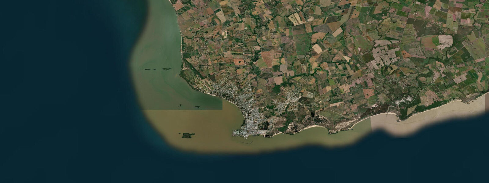
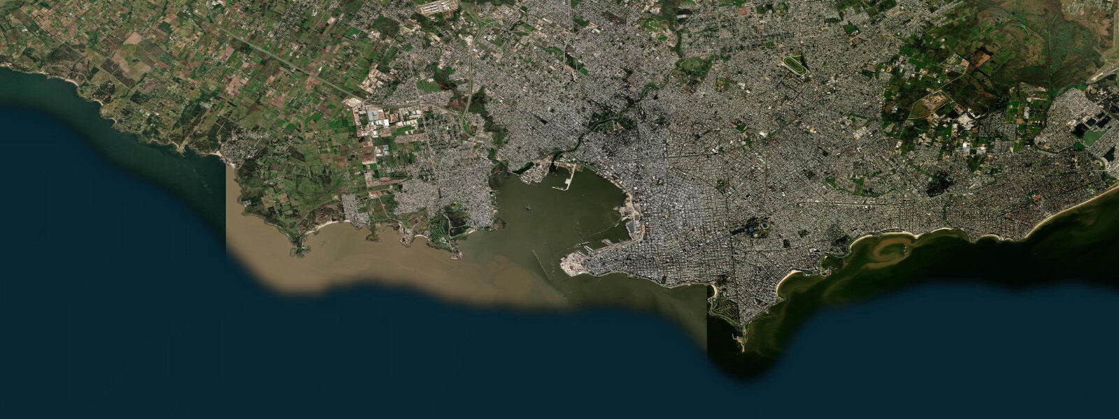
Colonia del Sacramento stands on a small peninsula on the northern shore of the Río de la Plata, directly across the world's widest river estuary from Buenos Aires. The historic quarter — the original Portuguese colonial settlement of Nova Colônia do Sacramento, founded 1680 — is a UNESCO World Heritage Site, its cobblestone streets and low limestone buildings preserved largely intact within their original fortification walls. The lighthouse at the point, built on the ruins of a 17th-century convent, and the ruins of the San Francisco convent alongside it are the oldest continuously maintained colonial structures in Uruguay.
The tidal regime here is unlike any other location in this dataset. The Río de la Plata is a true tidal estuary — semidiurnal tidal forcing from the South Atlantic propagates 290 km upstream to Colonia — but the river's discharge volume (primarily from the Paraná and Uruguay rivers, combined with the Iguazú) means that the water at Colonia is essentially fresh to very slightly brackish, not marine. Mean tidal range is approximately 0.8 to 1.0 m, but the actual water level at Colonia is dominated by wind setup rather than the astronomical tide for much of the year. A strong southerly or southeasterly wind (Sudestada) pushes the estuary water northward against the Uruguayan shore, raising water levels by 1.0 to 2.0 m above the predicted tidal level. Conversely, a sustained northerly wind (Pampero) draws water south and can lower Colonia's water level 0.5 to 0.8 m below the predicted low.
The wind-dominant water-level regime has practical consequences. The ferry to Buenos Aires — operated by Colonia Express and Buquebús from the main pier — crosses 50 km of open estuary in 60 to 75 minutes. The ferry schedule is fixed; sea conditions during Sudestada or Pampero events determine whether sailings proceed, suspend, or operate with restrictions. The tide prediction on this page gives the baseline water level at the pier, but the actual water level during operations depends on wind setup. The ferry companies monitor real-time conditions and adjust.
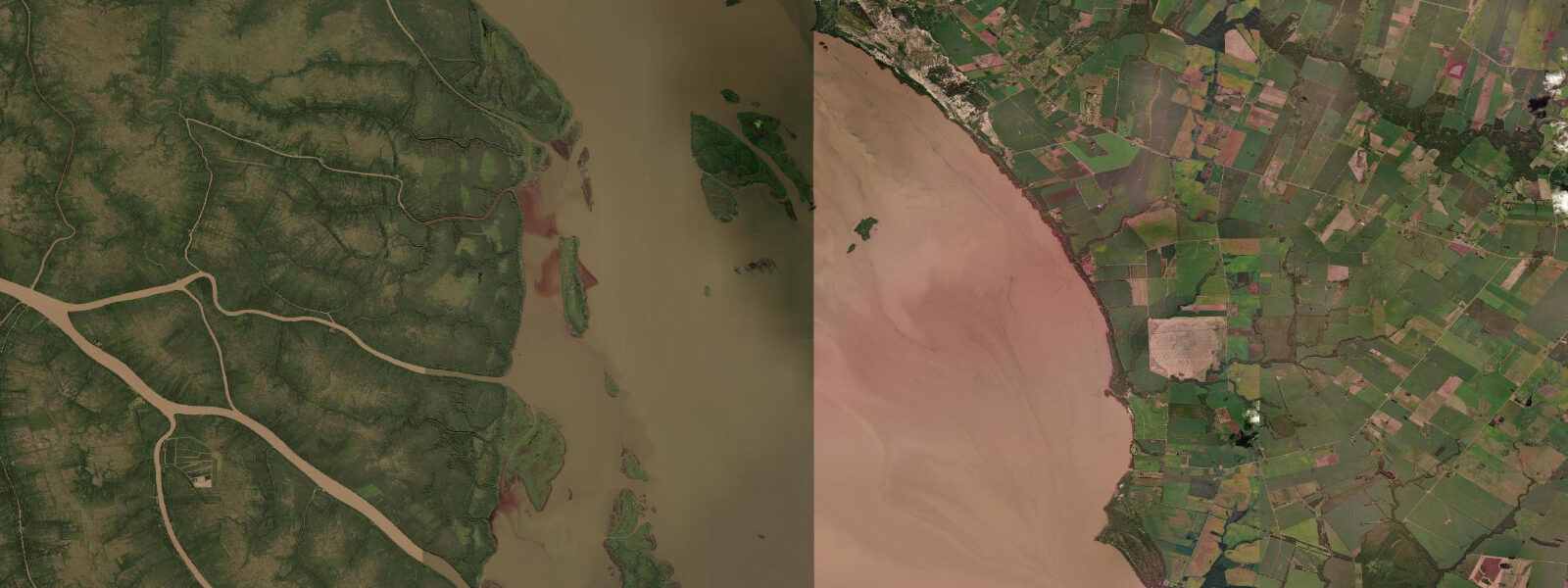
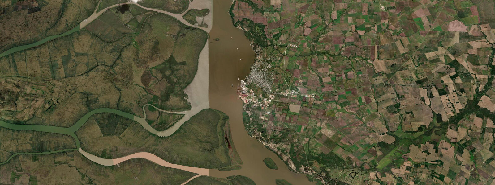
For visitors to the historic quarter, the tidal context is largely aesthetic rather than operational: the cobblestone streets running to the water's edge, the fortification walls on the estuary shore, and the view across the brown water toward Buenos Aires are the experience. The brown colour is sediment from the Paraná delta, carried into the estuary year-round. Visibility in the estuary water is essentially zero; swimming and water sports are not practised from Colonia's shore.
Fishing from Colonia is the primary water-based activity beyond the ferry crossing. Dorado (Salminus brasiliensis) — a large, powerful freshwater/estuarine gamefish — are taken in the Colonia area of the Río de la Plata by trolling from boats on the incoming tide, when the tidal push carries marine-influenced baitfish into the estuary. The incoming tide phase (from the predicted low through the mid-flood) is the productive dorado window. Surubí (Pseudoplatystoma coruscans), the large spotted catfish of the Paraná basin, are also present in the deeper channels. Local fishing guides out of Colonia run 4 to 6-hour morning trips; advance booking required.
The historic quarter demands its own time: the Calle de los Suspiros (Street of Sighs) cobblestoned from the lighthouse to the Puerta de la Ciudadela, the single room of the museum of Portuguese colonial history, the baroque church façade. The afternoon light from the west, falling across the Plata toward the Argentine shore, illuminates the fortification walls and the lighthouse in the 90 minutes before sunset — the standard photography window. The lighthouse is open for visitors and the view from the top across the estuary and the colonial roof-scape is the reference image.
Predictions on this page come from Open-Meteo Marine, a global gridded ocean model. Accuracy is ±45 minutes on timing and ±0.2 to 0.3 metres on height. The SOHMA (Uruguayan Navy) and the Argentine Servicio de Hidrografía Naval publish the tidal tables covering the Río de la Plata, with wind-correction guidance for estuary water levels.
Tide questions about Colonia del Sacramento, Uruguay
Quick answers to the most common questions about tide times, range, and water access at Colonia del Sacramento, Uruguay.
When is the next high tide at Colonia del Sacramento?
The predicted next high tide at Colonia is shown at the top of this page in Uruguay Standard Time (UYT, UTC-3). Mean tidal range is approximately 0.8 to 1.0 m, but the actual water level at Colonia is often dominated by wind setup: a Sudestada southerly can raise levels 1.0–2.0 m above prediction; a Pampero northerly can lower them 0.5–0.8 m. Predictions come from Open-Meteo Marine (gridded, ±45 min / ±0.2–0.3 m); SOHMA and the Argentine SHN publish the authoritative tables.
What is the UNESCO World Heritage historic quarter of Colonia?
The historic quarter is the original Portuguese colonial settlement founded in 1680, with cobblestone streets, limestone buildings, and fortification walls surviving largely intact. Key elements: the Faro de Colonia (lighthouse, 1857, on a 17th-century convent ruin), the Calle de los Suspiros, the Puerta de la Ciudadela (colonial gate), and the ruins of the Convento de San Francisco. The site is compact — a 2-hour walk covers most of it. No admission fee for the quarter itself; the lighthouse and some museums charge small entry fees.
Can you take the ferry from Colonia to Buenos Aires?
Yes. Colonia Express and Buquebús operate ferries between Colonia's main pier and Buenos Aires (Dársena Norte terminal), a 60–75 minute crossing. Multiple daily sailings each direction. Advance booking is strongly recommended in January–February peak season and on Argentine and Uruguayan holiday weekends. Sailings may be delayed or cancelled during Sudestada conditions on the Río de la Plata. Check each operator's website for the current schedule — it varies seasonally.
Is the water quality in the Río de la Plata at Colonia suitable for swimming?
Swimming at Colonia's shore is not practised and not recommended. The Río de la Plata water at Colonia is essentially freshwater, heavily loaded with Paraná delta sediment (brown colour, zero visibility), and subject to periodic water quality alerts related to upstream agricultural and urban discharge. The estuary is not a marine recreational swimming environment. The beach areas used for summer recreation by Colonia residents are on the Río de la Plata shore but are primarily for walking, fishing, and children's play in shallow water.
Is this safe to use for navigation?
No. TideTurtle is a planning tool, not a nautical almanac. Navigation on the Río de la Plata — including the ferry crossing to Buenos Aires and approaches to Colonia's pier — requires current charts from SOHMA (Uruguay) or the Argentine SHN. Wind-driven sea state and storm surge during Sudestada significantly exceed the predicted tidal range. Open-Meteo Marine predictions are not a substitute for authoritative harmonic data for any vessel operation.
7-day tide table — Colonia del Sacramento, Uruguay
Heights relative to MSL. Predictions: Open-Meteo Marine (MeteoFrance SMOC, 0.08° grid) — heights relative to MSL (not chart datum / LAT). Model-derived.
| Day | Type | Time | Height |
|---|---|---|---|
| Sat 04 Jul | Low | 01:10 | 0.2m |
| High | 08:10 | 0.5m | |
| Low | 17:21 | -0.2m | |
| High | 23:50 | 0.2m | |
| Sun 05 Jul | Low | 01:50 | 0.1m |
| High | 04:20 | 0.2m | |
| Low | 04:50 | 0.2m | |
| High | 09:15 | 0.4m | |
| Low | 18:38 | -0.2m | |
| Mon 06 Jul | High | 01:00 | -0.0m |
| Low | 01:50 | -0.0m | |
| High | 10:15 | 0.5m | |
| Low | 19:15 | -0.1m | |
| Tue 07 Jul | High | 00:54 | 0.1m |
| Low | 03:40 | -0.0m | |
| High | 11:10 | 0.3m | |
| Low | 20:07 | -0.3m | |
| High | 23:00 | -0.2m | |
| Wed 08 Jul | Low | 05:00 | -0.3m |
| Low | 07:42 | -0.3m | |
| Thu 09 Jul | High | 02:54 | 0.2m |
| Low | 21:55 | -0.0m | |
| Fri 10 Jul | High | 00:06 | 0.1m |
| Low | 07:10 | -0.3m | |
| High | 16:12 | 0.3m |