Port Townsend tide times
Port Townsend tide forecast — heights relative to MSL.
Today's tide times for Port Townsend
Tide times at Port Townsend on Friday, 19 June 2026: first high tide at 03:24am, first low tide at 10:11am, second high tide at 04:39pm, second low tide at 10:39pm. Sunrise 05:10am, sunset 09:14pm.
Tide chart for Port Townsend
24-hour cosine-interpolated curve around the present moment. Heights relative to MSL. Predictions: Predictions: Open-Meteo Marine (MeteoFrance SMOC, 0.08° grid).
Sun, moon and conditions on Fri 19 Jun
Snapshot at build time — refreshes daily. Sea state from Open-Meteo Marine.
Highs and lows next 7 days
Every predicted high and low for the next week, with the daily tidal coefficient (0–120; higher = bigger swing, > 95 means stronger currents).
Other spots nearby
The three closest curated TideTurtle locations to Port Townsend, measured by great-circle distance.

Today's solunar windows
Solunar tradition: major periods are the ≈3h windows around moon transit and opposition; minor are ≈2h around moonrise and moonset. Pair with the local tide stage and wind for the best read.
Cycle dates near Port Townsend
Last spring tide on Thu 18 Jun (range 4.1m / 13.3ft). Next spring tide on Wed 24 Jun (range 3.0m / 9.7ft). Next neap on Mon 22 Jun.
Spring tides cluster around new and full moons (biggest swings). Neap tides land on quarter moons (smallest swings). See the spring tide and neap tide glossary entries for the why.
About tides at Port Townsend
A short guide to the coastline at Port Townsend — geography, sea state, and what the tide is actually doing under your feet.
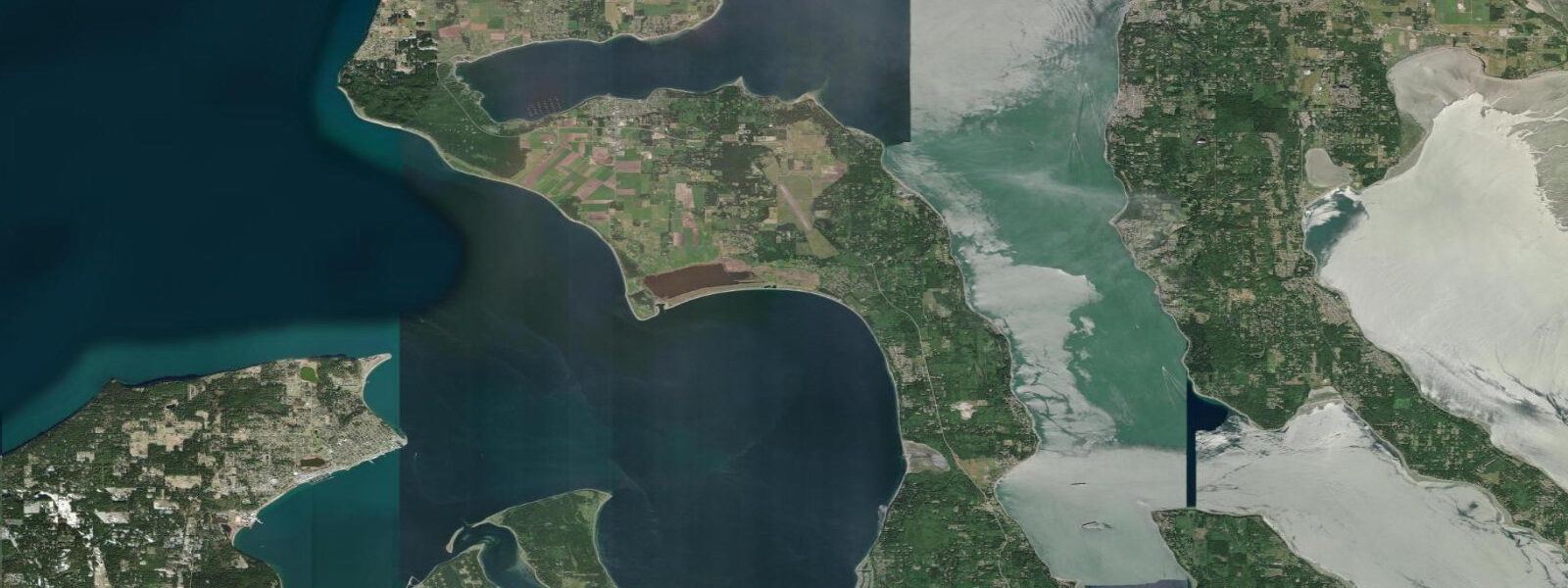
Port Townsend sits at the northeast corner of the Olympic Peninsula, where Admiralty Inlet — the main tidal channel connecting Puget Sound to the Strait of Juan de Fuca — runs just offshore. The tidal pattern here is mixed semidiurnal with a large range: mean tidal range is 2.3 metres, with spring tides regularly reaching 3.7 to 4.0 metres at the stronger exchanges. This is serious tidal country.
Admiralty Inlet runs 3 to 5 knots on peak spring ebbs — the current is visible from the beach as rips and upwellings on the surface. Kayakers and small-boat sailors treat this current as both hazard and asset: use it when it's going your way, shelter when it isn't. The ferry to Whidbey Island crosses Admiralty Inlet at the Point Wilson lighthouse, and the state ferry schedule is partly timed around current predictions.
Point Wilson itself is one of the most-watched tide observation points in Washington. The lighthouse sits at the tip of the spit that separates Port Townsend Bay from Admiralty Inlet. Surfing of a kind occurs here: on minus low tides (common in summer mornings), the kelp forest emerges and sea otters use the exposed reefs; on spring high tides, the saltwater marsh above the boat launch floods. The range of 3.7+ metres produces a completely different landscape twice a day.
For anglers, the spring chinook salmon run through Admiralty Inlet in March and April is the season. Boats troll in the main channel with heavy gear — the depth changes from 30 to 100 metres within a kilometre, and fish stage in the transitions. Halibut open in May; the outer straits hold fish in 60 to 120 metres. Crabbing in Port Townsend Bay is year-round for Dungeness crab; the minus tides in summer allow wading anglers to reach oyster beds in the bay's protected coves.
Port Townsend is a Victorian seaport town with a working boatyard culture. The Northwest Maritime Center hosts the Wooden Boat Festival each September — a week of racing, demonstrations, and maritime skill-sharing. Boat launches are available at the public marina and at Fort Worden State Park, which occupies the north end of town.
Kayaking the bay is a full-day trip: Fort Worden to Indian Island to the Port Townsend shoreline and back is roughly 20 kilometres. The crossing to Whidbey Island (Keystone State Park) is possible for experienced sea kayakers — plan for Admiralty Inlet current and use the slack water window carefully, as it may last only 20 minutes on spring tides.
Predictions on this page come from Open-Meteo Marine, a gridded global ocean model. Accuracy is typically within plus or minus 45 minutes on timing and 0.2 to 0.3 metres on height — model-derived, not from a local gauge. For authoritative US tide data, consult NOAA CO-OPS at tidesandcurrents.noaa.gov.
Tide questions about Port Townsend
Quick answers to the most common questions about tide times, range, and water access at Port Townsend.
What is the tidal range at Port Townsend?
Port Townsend has a mixed semidiurnal pattern with one of the larger tidal ranges in Washington. Mean range is about 2.3 metres; spring tides regularly hit 3.5 to 4.0 metres between the higher high and lower low water marks. This produces extreme conditions at Point Wilson, where Admiralty Inlet narrows — current can exceed 4 knots on peak spring ebbs. Minus tides occur in summer mornings and expose extensive intertidal habitat.
Is it safe to kayak at Port Townsend?
Port Townsend Bay itself is a good intermediate paddling area. Admiralty Inlet is advanced — the main channel carries 3 to 5 knots of tidal current, shipping traffic, and can build steep chop in opposing wind-against-current conditions. The recommended approach is to paddle in the bay and along the Fort Worden shoreline. For the Inlet crossing to Whidbey Island, take a local sea kayak course that includes tidal current planning — Washington Water Trails Association has resources.
When does the Dungeness crab season run at Port Townsend?
Recreational Dungeness crab fishing in the Hood Canal and Port Townsend area typically opens from July through September for the summer season, with a second opening some years in the fall. Check current WDFW regulations — seasons and daily limits change annually. Crabbing is most productive from a kayak or small boat with ring nets dropped in 6 to 15 metres of water on muddy bottom. Minus tides allow shore access to some crab habitat, but most productive areas require a boat.
Where can I catch chinook salmon near Port Townsend?
The spring chinook run through Admiralty Inlet peaks in March and April. Trolling in the main channel between Point Wilson and Marrowstone Island is the standard approach — downrigger fishing at 20 to 40 metres with herring or hootchies. A Washington State saltwater fishing license plus a salmon endorsement are required. Check WDFW emergency closure notices regularly — Puget Sound chinook are ESA-listed and openings are sometimes curtailed.
What is the Wooden Boat Festival?
The Port Townsend Wooden Boat Festival, held each September at the Northwest Maritime Center and Point Hudson Marina, is the largest wooden boat festival in the US — typically 250+ vessels on the water and 20,000+ visitors over the weekend. Events include boat racing, sail demos, maritime skills workshops, and shipwright demonstrations. The festival timing lines up with the fall neap tide period, which gives calmer water for the harbour events. Check nwmaritime.org for the current year's schedule.
7-day tide table — Port Townsend
Heights relative to MSL. Predictions: Open-Meteo Marine (MeteoFrance SMOC, 0.08° grid) — heights relative to MSL (not chart datum / LAT). Model-derived.
| Day | Type | Time | Height |
|---|---|---|---|
| Fri 19 Jun | High | 03:24 | 1.9m / 6.2ft |
| Low | 10:11 | -2.2m / -7.1ft | |
| High | 16:39 | 1.6m / 5.4ft | |
| Low | 22:39 | -0.9m / -2.9ft | |
| Sat 20 Jun | High | 04:19 | 1.6m / 5.2ft |
| Low | 11:02 | -1.8m / -5.9ft | |
| High | 17:26 | 1.6m / 5.3ft | |
| Low | 23:48 | -0.9m / -3.0ft | |
| Sun 21 Jun | High | 05:18 | 1.2m / 4.0ft |
| Low | 11:54 | -1.5m / -4.8ft | |
| High | 18:16 | 1.6m / 5.2ft | |
| Mon 22 Jun | Low | 00:56 | -1.0m / -3.3ft |
| High | 06:25 | 0.9m / 2.9ft | |
| Low | 12:48 | -1.1m / -3.7ft | |
| High | 19:07 | 1.5m / 5.1ft | |
| Tue 23 Jun | Low | 02:01 | -1.1m / -3.8ft |
| High | 07:46 | 0.7m / 2.2ft | |
| Low | 13:42 | -0.8m / -2.8ft | |
| High | 20:00 | 1.5m / 5.0ft | |
| Wed 24 Jun | Low | 03:00 | -1.3m / -4.4ft |
| High | 09:14 | 0.6m / 2.1ft | |
| Low | 14:39 | -0.6m / -2.0ft | |
| High | 20:55 | 1.5m / 5.0ft | |
| Thu 25 Jun | Low | 03:54 | -1.4m / -4.7ft |
| High | 10:21 | 0.8m / 2.7ft | |
| Low | 16:00 | -0.4m / -1.2ft |