Virginia Beach (CBBT), VA tide times
Virginia Beach (CBBT), VA tide forecast — heights relative to MLLW.
Today's tide times for Virginia Beach (CBBT), VA
Tide times at Virginia Beach (CBBT), VA on Sunday, 26 July 2026: first low tide at 12:57am, first high tide at 06:48am, second low tide at 12:33pm, second high tide at 07:13pm. Sunrise 06:05am, sunset 08:17pm.
Tide chart for Virginia Beach (CBBT), VA
24-hour cosine-interpolated curve around the present moment. Heights relative to MLLW. Predictions: NOAA CO-OPS station 8638863.
Sun, moon and conditions on Sun 26 Jul
Snapshot at build time — refreshes daily. Sea state from NOAA harmonic predictions.
Highs and lows next 7 days
Every predicted high and low for the next week, with the daily tidal coefficient (0–120; higher = bigger swing, > 95 means stronger currents).
Other spots nearby
The three closest curated TideTurtle locations to Virginia Beach (CBBT), VA, measured by great-circle distance.

Today's solunar windows
Solunar tradition: major periods are the ≈3h windows around moon transit and opposition; minor are ≈2h around moonrise and moonset. Pair with the local tide stage and wind for the best read.
Cycle dates near Virginia Beach (CBBT), VA
Next spring tide on Tue 11 Aug (range 1.1m / 3.5ft). Next neap on Mon 27 Jul.
Spring tides cluster around new and full moons (biggest swings). Neap tides land on quarter moons (smallest swings). See the spring tide and neap tide glossary entries for the why.
About tides at Virginia Beach (CBBT), VA
A short guide to the coastline at Virginia Beach (CBBT), VA — geography, sea state, and what the tide is actually doing under your feet.
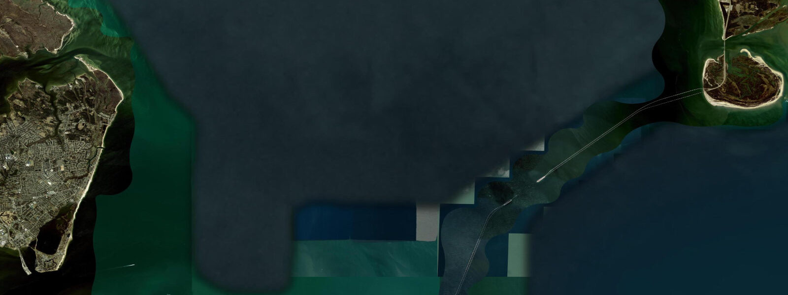
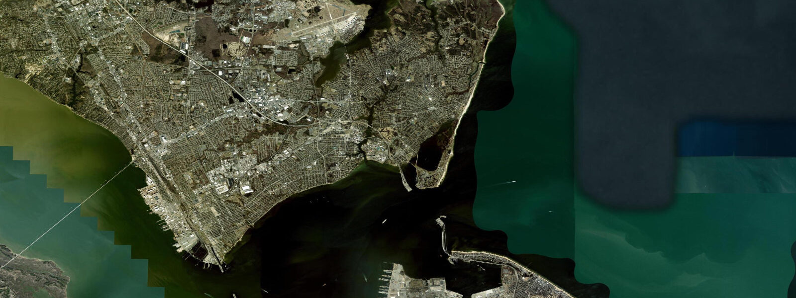
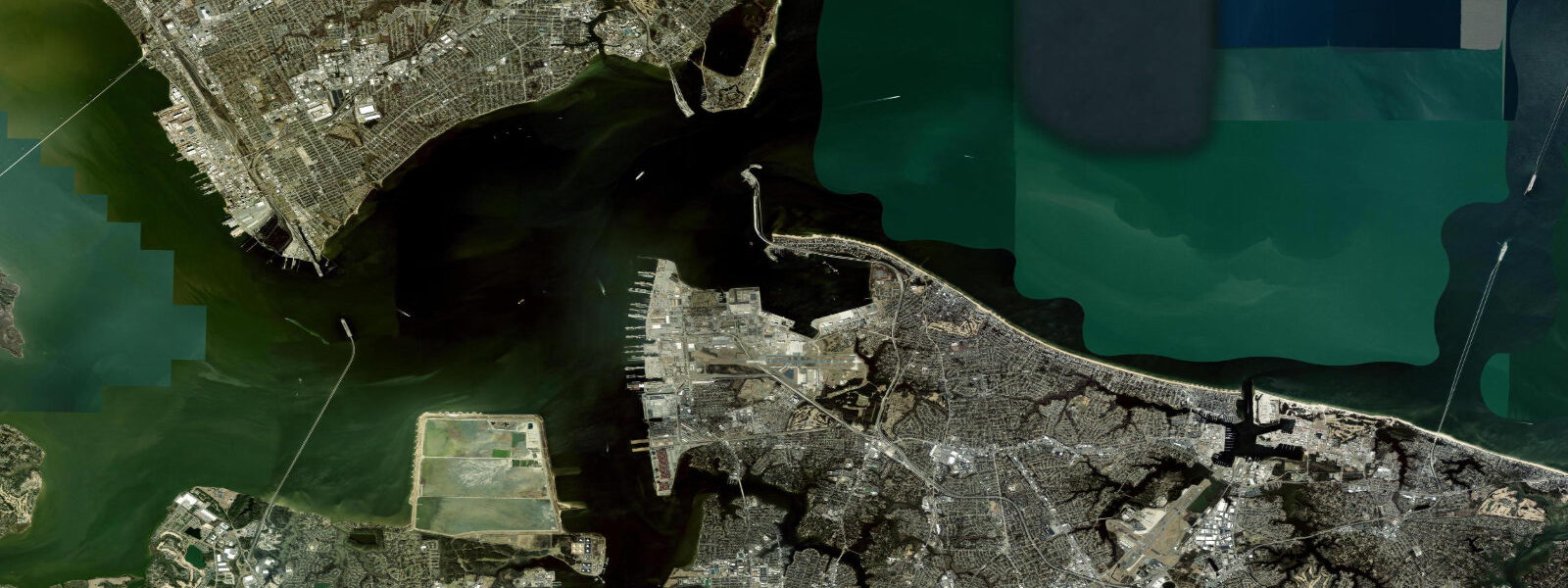
The Chesapeake Bay Bridge Tunnel gauge sits where the open Atlantic meets the mouth of Chesapeake Bay between Cape Charles to the north and Cape Henry on the Virginia Beach side to the south. It is one of the most-watched gauges on the US Mid-Atlantic — the brackish estuary that drains the entire Chesapeake watershed empties through this 28 km wide opening, and the tide cycle here drives both the Bay's flushing and the surf and shipping conditions across the Hampton Roads. 9 metres, semidiurnal, with two highs and two lows of comparable size each day, twelve and a half hours apart.
7. Inside the Bay the range compresses further as the basin widens toward Annapolis and the Potomac. Surfers along the long sand at Sandbridge and First Landing read the table for low-tide bar reshaping.
Surf-fishers at Lynnhaven Inlet and Rudee Inlet time their casts to the change. Walkers on the long beach in front of the resort high-rises at Virginia Beach see roughly 30 metres of horizontal beach width difference between high and low water on a spring tide. Nor'easter surge in autumn and winter and tropical-storm surge in late summer can both stack water levels well above predicted; the harmonic predictions on this page assume normal weather.
NOAA CO-OPS station 8638863 is the authoritative gauge.
Tide questions about Virginia Beach (CBBT), VA
Quick answers to the most common questions about tide times, range, and water access at Virginia Beach (CBBT), VA.
When is the next high tide at Virginia Beach?
The hero block shows the next high tide at the Chesapeake Bay Bridge Tunnel gauge in local Eastern time. The 7-day table covers all four daily extremes — semidiurnal pattern, two highs and two lows of comparable size each day. For nor'easter or tropical-storm surge potential, the National Weather Service Wakefield office and the National Hurricane Center are the authoritative sources.
What's the typical tide range at Virginia Beach?
Mean range at the CBBT gauge is about 0.9 metres at the mouth of Chesapeake Bay. Spring tides push to roughly 1.1 metres around new and full moons; neaps drop close to 0.7 metres. The range gradually compresses as you move north up into the Bay — Annapolis and Baltimore see considerably smaller swings than the open mouth, while the open Atlantic side at Sandbridge runs slightly larger.
Where do these tide predictions come from?
NOAA CO-OPS station 8638863, Chesapeake Bay Bridge Tunnel. NOAA computes harmonic predictions through long-record analysis at the station, accurate to a few minutes and a few centimetres under normal weather. Eastern Shore barrier islands and the open Atlantic coast at Virginia Beach run a similar but slightly larger swing than the gauge itself.
When are the lowest tides for surf-fishing at Lynnhaven Inlet?
The lowest predicted lows cluster around new and full moons, especially in autumn and winter when the tidal forcing is strongest. Inlet drifts work best from the mid-falling stage to slack low — that is when the bait gets pulled out of the inlet and stripers, drum, and flounder line up at the edges. The 7-day table on this page flags each day's lowest tide; pair with sunrise and sunset from the sun/moon block above.
Is this safe to use for navigation?
No. For piloting in Hampton Roads, transiting the CBBT, or working the inlet entrances at Rudee, Lynnhaven, or Little Creek use NOAA's authoritative chart products, the Hampton Roads pilot information, and the latest US Coast Guard notices. Tropical-storm and nor'easter surge can override the harmonic prediction; emergency-management forecasts take precedence.
30-day tide table — Virginia Beach (CBBT), VA
Heights relative to MLLW. Predictions: NOAA CO-OPS station 8638863 — heights relative to MLLW.
| Day | Type | Time | Height |
|---|---|---|---|
| Sun 26 Jul | Low | 00:57 | 0.2m / 0.5ft |
| High | 06:48 | 0.6m / 2.1ft | |
| Low | 12:33 | 0.2m / 0.5ft | |
| High | 19:13 | 0.8m / 2.8ft | |
| Mon 27 Jul | Low | 01:40 | 0.1m / 0.5ft |
| High | 07:34 | 0.7m / 2.2ft | |
| Low | 13:22 | 0.1m / 0.4ft | |
| High | 19:56 | 0.9m / 2.8ft | |
| Tue 28 Jul | Low | 02:19 | 0.1m / 0.4ft |
| High | 08:17 | 0.7m / 2.3ft | |
| Low | 14:07 | 0.1m / 0.4ft | |
| High | 20:36 | 0.9m / 2.9ft | |
| Wed 29 Jul | Low | 02:54 | 0.1m / 0.3ft |
| High | 08:56 | 0.7m / 2.4ft | |
| Low | 14:48 | 0.1m / 0.3ft | |
| High | 21:13 | 0.9m / 2.9ft | |
| Thu 30 Jul | Low | 03:26 | 0.1m / 0.2ft |
| High | 09:34 | 0.8m / 2.5ft | |
| Low | 15:27 | 0.1m / 0.3ft | |
| High | 21:49 | 0.9m / 2.9ft | |
| Fri 31 Jul | Low | 03:58 | 0.1m / 0.2ft |
| High | 10:11 | 0.8m / 2.6ft | |
| Low | 16:06 | 0.1m / 0.3ft | |
| High | 22:25 | 0.9m / 2.8ft | |
| Sat 01 Aug | Low | 04:31 | 0.1m / 0.2ft |
| High | 10:49 | 0.8m / 2.7ft | |
| Low | 16:46 | 0.1m / 0.3ft | |
| High | 23:03 | 0.8m / 2.8ft | |
| Sun 02 Aug | Low | 05:07 | 0.0m / 0.2ft |
| High | 11:30 | 0.8m / 2.8ft | |
| Low | 17:32 | 0.1m / 0.4ft | |
| High | 23:44 | 0.8m / 2.7ft | |
| Mon 03 Aug | Low | 05:47 | 0.1m / 0.2ft |
| High | 12:13 | 0.9m / 2.9ft | |
| Low | 18:23 | 0.1m / 0.4ft | |
| Tue 04 Aug | High | 00:27 | 0.8m / 2.6ft |
| Low | 06:31 | 0.1m / 0.2ft | |
| High | 12:59 | 0.9m / 2.9ft | |
| Low | 19:19 | 0.1m / 0.5ft | |
| Wed 05 Aug | High | 01:15 | 0.7m / 2.4ft |
| Low | 07:21 | 0.1m / 0.2ft | |
| High | 13:49 | 0.9m / 3.0ft | |
| Low | 20:20 | 0.2m / 0.5ft | |
| Thu 06 Aug | High | 02:07 | 0.7m / 2.3ft |
| Low | 08:15 | 0.1m / 0.3ft | |
| High | 14:46 | 0.9m / 3.0ft | |
| Low | 21:26 | 0.2m / 0.5ft | |
| Fri 07 Aug | High | 03:09 | 0.7m / 2.3ft |
| Low | 09:17 | 0.1m / 0.3ft | |
| High | 15:53 | 0.9m / 3.0ft | |
| Low | 22:36 | 0.1m / 0.5ft | |
| Sat 08 Aug | High | 04:22 | 0.7m / 2.3ft |
| Low | 10:23 | 0.1m / 0.2ft | |
| High | 17:05 | 1.0m / 3.1ft | |
| Low | 23:41 | 0.1m / 0.4ft | |
| Sun 09 Aug | High | 05:34 | 0.7m / 2.3ft |
| Low | 11:29 | 0.0m / 0.2ft | |
| High | 18:11 | 1.0m / 3.2ft | |
| Mon 10 Aug | Low | 00:41 | 0.1m / 0.3ft |
| High | 06:38 | 0.8m / 2.5ft | |
| Low | 12:33 | 0.0m / 0.1ft | |
| High | 19:12 | 1.0m / 3.3ft | |
| Tue 11 Aug | Low | 01:38 | 0.0m / 0.1ft |
| High | 07:38 | 0.8m / 2.7ft | |
| Low | 13:34 | -0.0m / -0.0ft | |
| High | 20:08 | 1.0m / 3.4ft | |
| Wed 12 Aug | Low | 02:29 | 0.0m / 0.0ft |
| High | 08:33 | 0.9m / 2.9ft | |
| Low | 14:32 | -0.0m / -0.1ft | |
| High | 20:59 | 1.0m / 3.4ft | |
| Thu 13 Aug | Low | 03:15 | -0.0m / -0.0ft |
| High | 09:23 | 0.9m / 3.0ft | |
| Low | 15:24 | -0.0m / -0.1ft | |
| High | 21:45 | 1.0m / 3.3ft | |
| Fri 14 Aug | Low | 03:57 | -0.0m / -0.1ft |
| High | 10:11 | 1.0m / 3.1ft | |
| Low | 16:14 | -0.0m / -0.0ft | |
| High | 22:29 | 1.0m / 3.1ft | |
| Sat 15 Aug | Low | 04:38 | 0.0m / 0.0ft |
| High | 10:57 | 1.0m / 3.2ft | |
| Low | 17:04 | 0.0m / 0.1ft | |
| High | 23:12 | 0.9m / 2.9ft | |
| Sun 16 Aug | Low | 05:19 | 0.0m / 0.1ft |
| High | 11:42 | 1.0m / 3.1ft | |
| Low | 17:56 | 0.1m / 0.3ft | |
| High | 23:55 | 0.8m / 2.7ft | |
| Mon 17 Aug | Low | 06:01 | 0.1m / 0.3ft |
| High | 12:28 | 0.9m / 3.1ft | |
| Low | 18:50 | 0.2m / 0.5ft | |
| Tue 18 Aug | High | 00:38 | 0.8m / 2.5ft |
| Low | 06:45 | 0.1m / 0.4ft | |
| High | 13:13 | 0.9m / 3.0ft | |
| Low | 19:45 | 0.2m / 0.7ft | |
| Wed 19 Aug | High | 01:22 | 0.7m / 2.3ft |
| Low | 07:30 | 0.2m / 0.6ft | |
| High | 13:59 | 0.9m / 2.9ft | |
| Low | 20:42 | 0.2m / 0.8ft | |
| Thu 20 Aug | High | 02:09 | 0.7m / 2.2ft |
| Low | 08:19 | 0.2m / 0.7ft | |
| High | 14:51 | 0.8m / 2.8ft | |
| Low | 21:43 | 0.3m / 0.9ft | |
| Fri 21 Aug | High | 03:05 | 0.6m / 2.1ft |
| Low | 09:15 | 0.2m / 0.8ft | |
| High | 15:54 | 0.8m / 2.7ft | |
| Low | 22:42 | 0.3m / 0.9ft | |
| Sat 22 Aug | High | 04:17 | 0.6m / 2.0ft |
| Low | 10:17 | 0.2m / 0.8ft | |
| High | 17:01 | 0.8m / 2.7ft | |
| Low | 23:35 | 0.3m / 0.8ft | |
| Sun 23 Aug | High | 05:25 | 0.6m / 2.1ft |
| Low | 11:15 | 0.2m / 0.8ft | |
| High | 17:57 | 0.8m / 2.8ft | |
| Mon 24 Aug | Low | 00:21 | 0.2m / 0.8ft |
| High | 06:18 | 0.7m / 2.3ft | |
| Low | 12:08 | 0.2m / 0.7ft | |
| High | 18:44 | 0.9m / 2.9ft |