Port Aransas, TX tide times
Port Aransas, TX tide forecast — heights relative to MSL.
Today's tide times for Port Aransas, TX
Tide times at Port Aransas, TX on Tuesday, 23 June 2026: first high tide at 08:50am. Sunrise 06:33am, sunset 08:27pm.
Tide chart for Port Aransas, TX
24-hour cosine-interpolated curve around the present moment. Heights relative to MSL. Predictions: Predictions: Open-Meteo Marine (MeteoFrance SMOC, 0.08° grid).
Sun, moon and conditions on Tue 23 Jun
Snapshot at build time — refreshes daily. Sea state from Open-Meteo Marine.
Highs and lows next 7 days
Every predicted high and low for the next week, with the daily tidal coefficient (0–120; higher = bigger swing, > 95 means stronger currents).
Other spots nearby
The three closest curated TideTurtle locations to Port Aransas, TX, measured by great-circle distance.
Today's solunar windows
Solunar tradition: major periods are the ≈3h windows around moon transit and opposition; minor are ≈2h around moonrise and moonset. Pair with the local tide stage and wind for the best read.
About tides at Port Aransas, TX
A short guide to the coastline at Port Aransas, TX — geography, sea state, and what the tide is actually doing under your feet.
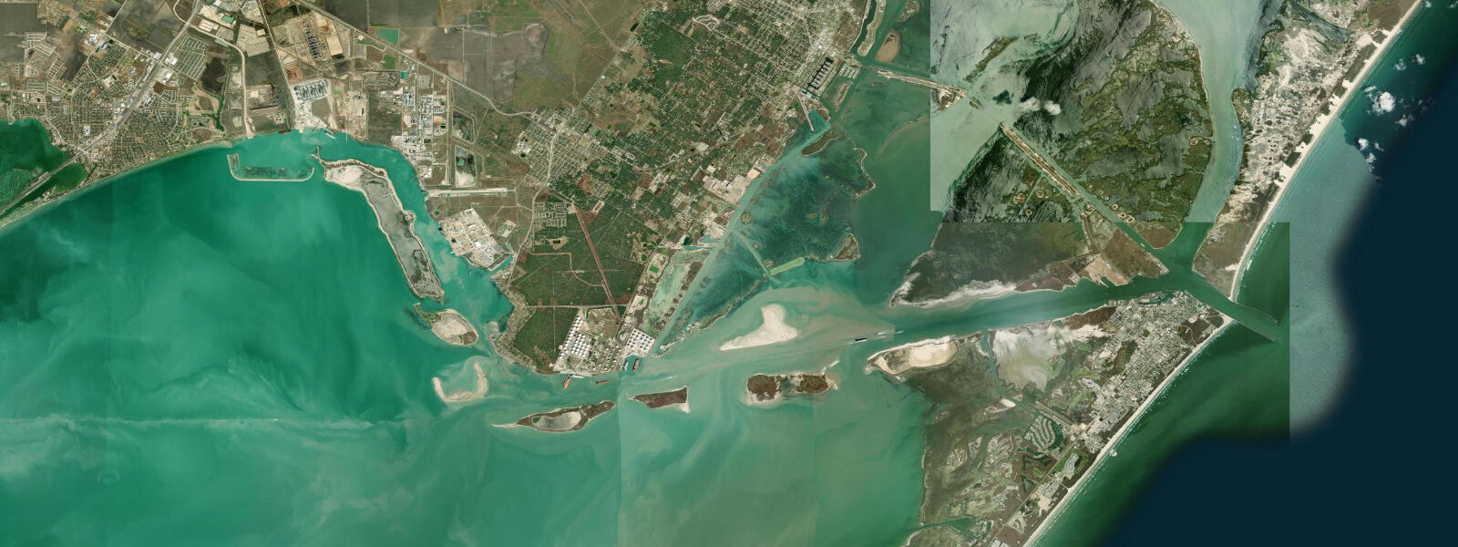
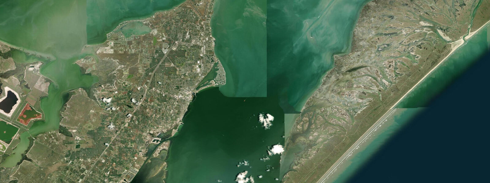
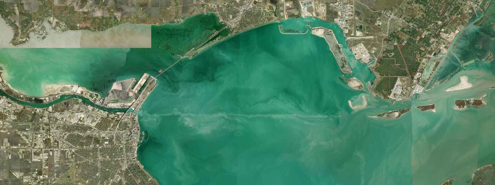
Port Aransas sits at the north end of Mustang Island, on the Texas coastal bend roughly halfway between Galveston and the mouth of the Rio Grande. The town occupies the south side of Aransas Pass, the inlet connecting Corpus Christi Bay and Aransas Bay to the open Gulf of Mexico. The pass is the working entrance for the Port of Corpus Christi shipping channel — one of the busiest energy-export ports in the United States — and the local culture is a mix of charter fishing, tanker traffic, and barrier-island tourism in a way no other Texas town quite replicates.
The tide here is the standard small Gulf diurnal signal, with one important quirk: Port Aransas has one of the smallest mean tidal ranges of any continuously monitored US coastal gauge. Mean range at the Port Aransas station is about 0.27 metres above MLLW, with a great diurnal range of 0.32 metres on the bigger days. Most days produce one high and one low spaced roughly 24 hours apart, and on the moon's quarter phases the pattern can briefly go mixed diurnal. Wind tides regularly exceed the astronomical signal — south winds piling Gulf water into the bay system can raise the pass and bay levels by 0.4 metres or more, north winds drain them by similar amounts, and the wind direction matters more than the tide table for many local activities.
Aransas Pass is the geographic and economic spine of Port Aransas. The pass is dredged and jettied for the federal channel into Corpus Christi Bay, which then connects to Corpus Christi Ship Channel and the Port of Corpus Christi 30 kilometres inland. Tidal current through the throat reaches 2 knots on the ebb despite the tiny tidal range, because the bay system on the inside is so much larger than the channel cross-section at the pass. The South Jetty (the Mustang Island side) is a 2-kilometre rock structure walkable to its end via a maintained surface and a small fishing pier at the tip; it is the most heavily used shore-fishing structure on the Texas coast. Tarpon, snook, redfish, pompano, Spanish and king mackerel, jack crevalle, and the occasional cobia all stage on the jetty rocks and the channel edges. The free passenger ferry connects Port Aransas to the mainland at Aransas Pass town across a 200-metre stretch of channel.
The Gulf-facing beach on Mustang Island runs south from the jetties for the full length of the island, with public driving access along most of the stretch (Texas open-beach tradition). Spring breakers, surf fishers, and family beachgoers all use the same sand. Mustang Island State Park sits 8 kilometres south of town and protects 8 kilometres of undeveloped beach and dune system. The bay side of the island is shallow, salty (the upper Laguna Madre is hyperhaline), and supports the seagrass beds that produce world-class kayak fishing for redfish.
The University of Texas Marine Science Institute is on the bay side of Port Aransas and operates a free public-access aquarium and visitor centre. The town is also the wintering destination for whooping cranes from the Aransas National Wildlife Refuge across the bay; charter ecotour boats from the harbour run November through March to view the cranes on the refuge tidal flats. Port Aransas hosts the Texas International Fishing Tournament and a year-round charter fleet running for offshore species from the working harbour at the marina.
Predictions on this page come from NOAA CO-OPS station 8775237 (harmonic predictions, accurate to within minutes), with the Port Isabel reference station 8779770 controlling the harmonic constants. Hurricane Harvey made landfall here on 25 August 2017 with surge of roughly 4 metres above MLLW, and the rebuilt town infrastructure reflects that lesson.
Tide questions about Port Aransas, TX
Quick answers to the most common questions about tide times, range, and water access at Port Aransas, TX.
What is the tidal range at Port Aransas?
Port Aransas has one of the smallest mean tidal ranges of any continuously monitored US coastal gauge — about 0.27 metres above MLLW at the harbour station, with a great diurnal range of 0.32 metres on the bigger days. The pattern is diurnal, one high and one low per day on most days. Wind setup from sustained south winds regularly raises water levels by 0.4 metres or more above the predicted tide; sustained north winds drain the bay system by similar amounts. For most local activities the wind direction matters more than the tide table.
Can I fish from the South Jetty?
Yes — the South Jetty is the most heavily used shore-fishing structure on the Texas coast. It is a 2-kilometre rock jetty with a maintained walking surface and a fishing pier at the tip. Tarpon and snook in summer, redfish and pompano year-round, Spanish and king mackerel on seasonal runs, jack crevalle and the occasional cobia. The outgoing tide is the standard productive window — the channel ebb pushes baitfish through the throat. A Texas saltwater fishing licence with a red drum tag is required for keeper-size redfish. Wear grippy footwear; the rocks are slippery on wet days.
Is the Port Aransas ferry running?
The Port Aransas ferry runs 24 hours, free of charge, connecting Port Aransas to the mainland at Aransas Pass town across roughly 200 metres of the ship channel. Several vessels work the route on a continuous loop with no schedule — drive up and load. Wait times can be 30 to 60 minutes during peak weekends and holidays. The Texas Department of Transportation operates the route as a public road across the channel; the ferry also forms part of Texas Highway 361 and is a working hurricane-evacuation route.
Where do these tide predictions come from?
NOAA CO-OPS station 8775237, Port Aransas, on the south jetty of Aransas Pass. Harmonic constants are referenced to control station 8779770 Port Isabel on the Laguna Madre. NOAA harmonic predictions resolve the diurnal Gulf signal and are navigation-grade under normal weather. Wind tides on the bay side regularly exceed the astronomical signal — checking the marine forecast and current observed water level alongside the tide prediction is the standard local practice.
Is this safe to use for navigation?
No. For piloting Aransas Pass or the Corpus Christi Ship Channel, use NOAA Chart 11309 and the current USCG notices. The pass is the working federal channel into one of the busiest US ports, with continuous commercial tanker and bulk-carrier traffic; the throat current runs to 2 knots on the ebb. The bay-side waters are shallow with extensive shoals and unmarked oyster reefs; the Intracoastal Waterway is the marked through-route. Hurricane storm surge is the dominant water-level hazard in season, far exceeding the modest astronomical tide.
6-day tide table — Port Aransas, TX
Heights relative to MSL. Predictions: Open-Meteo Marine (MeteoFrance SMOC, 0.08° grid) — heights relative to MSL (not chart datum / LAT). Model-derived.
| Day | Type | Time | Height |
|---|---|---|---|
| Tue 23 Jun | High | 08:50 | -0.1m / -0.2ft |
| Wed 24 Jun | — | ||
| Thu 25 Jun | Low | 18:10 | -0.5m / -1.5ft |
| Fri 26 Jun | — | ||
| Sat 27 Jun | High | 05:00 | 0.1m / 0.4ft |
| Low | 19:45 | -0.5m / -1.6ft | |
| Sun 28 Jun | High | 06:00 | 0.1m / 0.5ft |
| Low | 20:10 | -0.5m / -1.7ft | |