Galveston, TX tide times
Galveston, TX tide forecast — heights relative to MLLW.
Today's tide times for Galveston, TX
Tide times at Galveston, TX on Sunday, 26 July 2026: first high tide at 05:21am, first low tide at 08:24pm. Sunrise 06:35am, sunset 08:15pm.
Tide chart for Galveston, TX
24-hour cosine-interpolated curve around the present moment. Heights relative to MLLW. Predictions: NOAA CO-OPS station 8771341.
Sun, moon and conditions on Sun 26 Jul
Snapshot at build time — refreshes daily. Sea state from NOAA harmonic predictions.
Highs and lows next 7 days
Every predicted high and low for the next week, with the daily tidal coefficient (0–120; higher = bigger swing, > 95 means stronger currents).
Other spots nearby
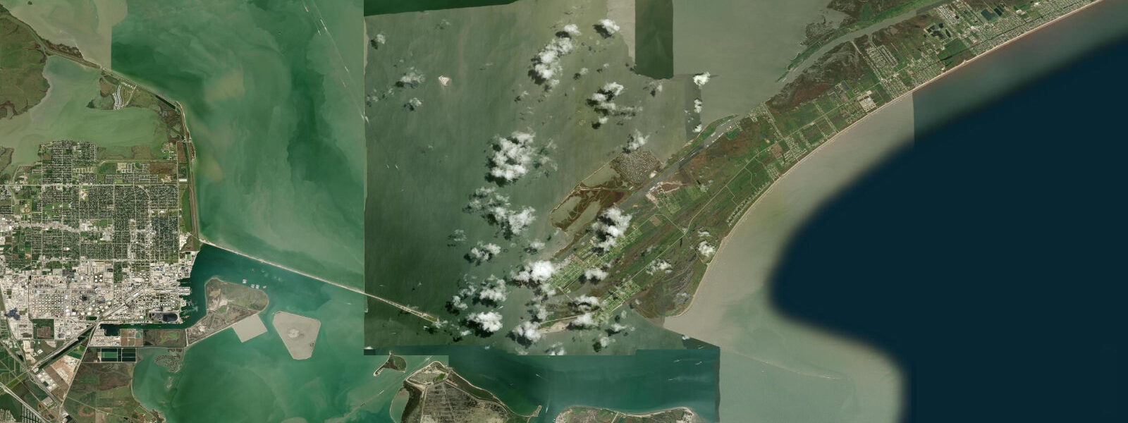
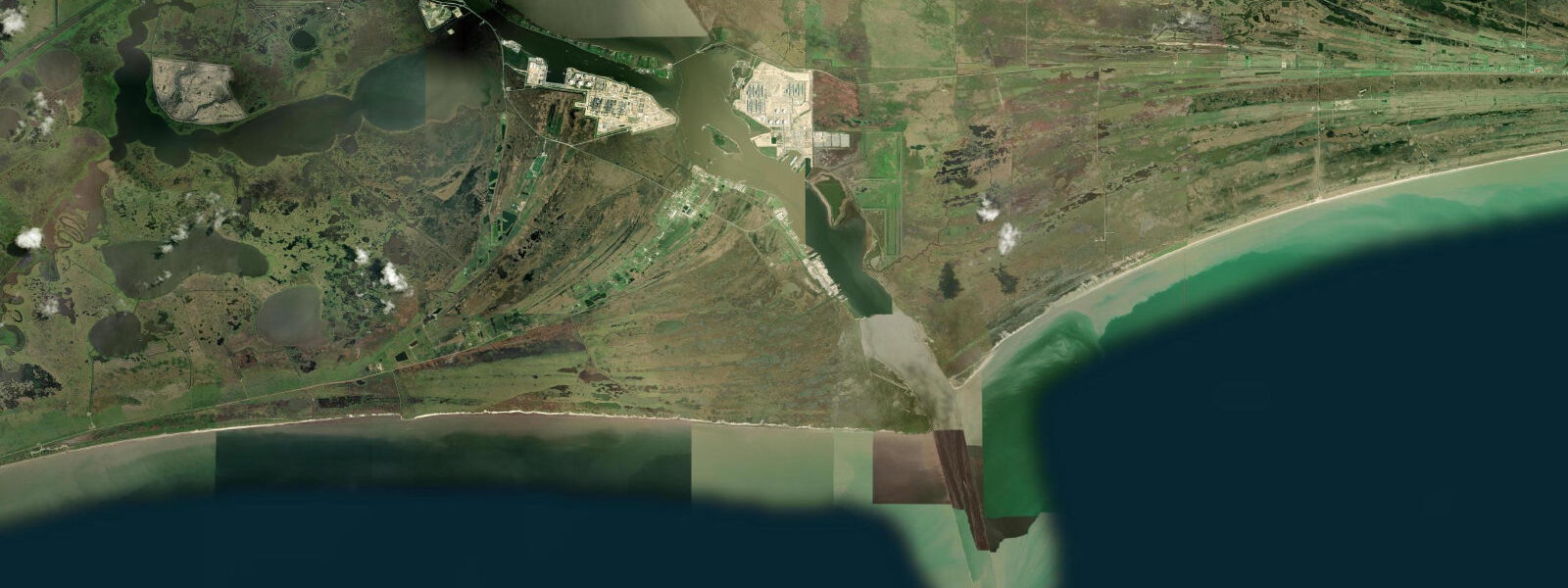
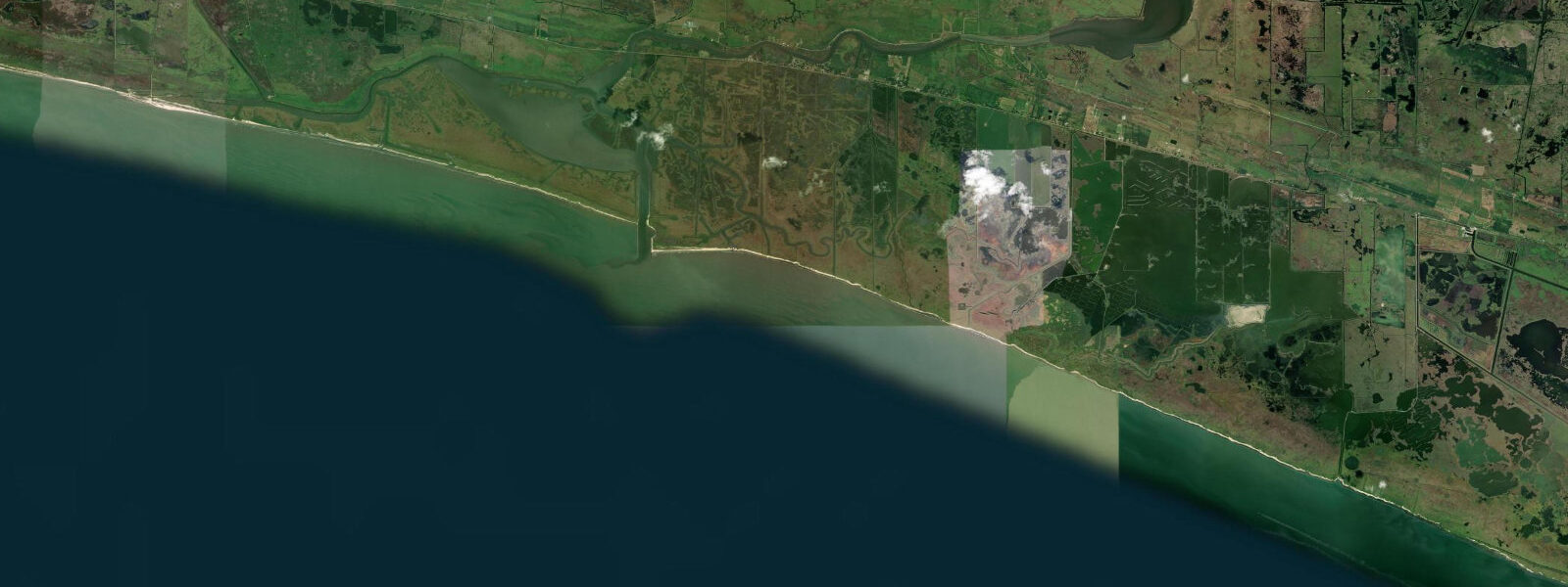
The three closest curated TideTurtle locations to Galveston, TX, measured by great-circle distance.
Today's solunar windows
Solunar tradition: major periods are the ≈3h windows around moon transit and opposition; minor are ≈2h around moonrise and moonset. Pair with the local tide stage and wind for the best read.
Cycle dates near Galveston, TX
Next spring tide on Sun 26 Jul (range 0.6m / 2.1ft). Next neap on Sun 02 Aug.
Spring tides cluster around new and full moons (biggest swings). Neap tides land on quarter moons (smallest swings). See the spring tide and neap tide glossary entries for the why.
About tides at Galveston, TX
A short guide to the coastline at Galveston, TX — geography, sea state, and what the tide is actually doing under your feet.
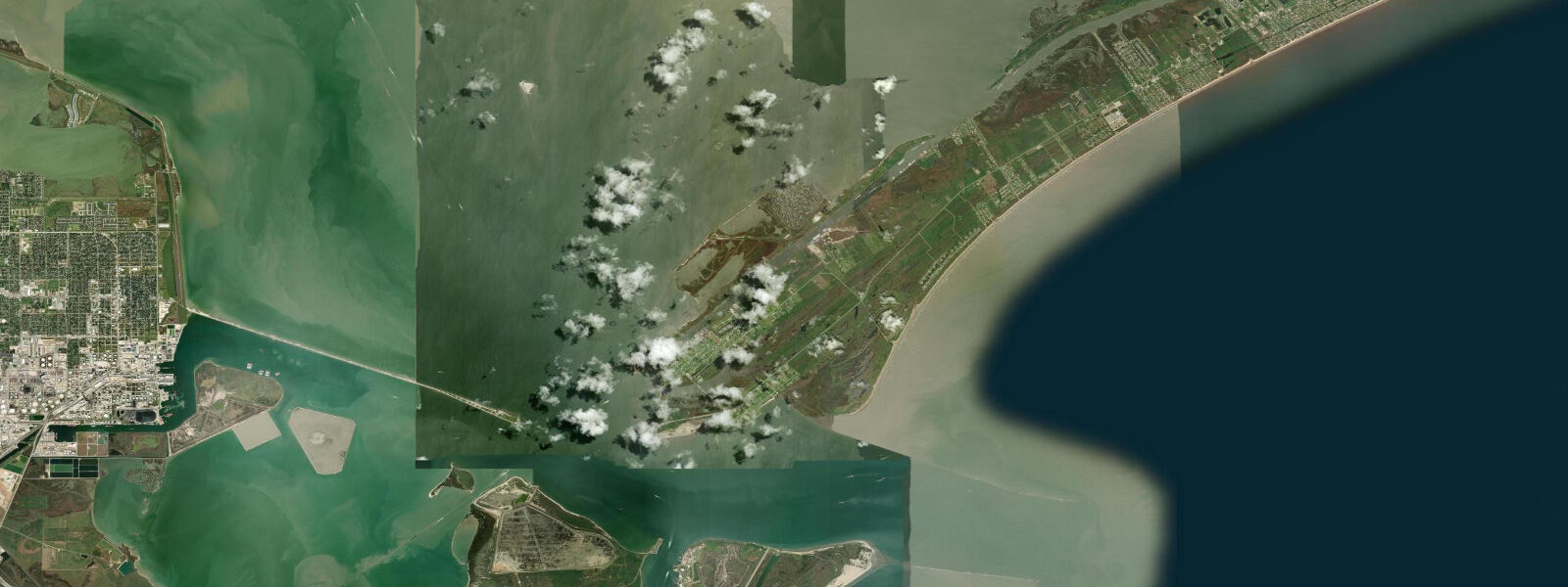
Galveston is a barrier island 80 kilometres southeast of Houston, separated from the mainland by Galveston Bay. The island faces south into the Gulf of Mexico on its beachfront and north into the bay. Tidal pattern is diurnal — one high and one low per day — a distinctive Gulf of Mexico characteristic produced by the resonance of the semi-enclosed Gulf basin. Mean tidal range is only around 0.5 to 0.6 metres, making the astronomical tide almost negligible compared to the storm surge and meteorological setup that drives Galveston's most dramatic water level events.
The seawall along the Gulf side runs 17 kilometres — built after the 1900 hurricane that killed 6,000 to 12,000 people in what remains the deadliest natural disaster in US history. The seawall raised the grade of the island by up to 4.5 metres on the bay side. Swimming from the seawall beaches is the central summer activity; the water is warm year-round (20°C in winter, 29 to 30°C in August) and the Gulf waves are typically small.
Fishing is the primary water activity for most locals. The Galveston Fishing Pier (off Seawall Boulevard) provides public access to the Gulf, targeting red drum, flounder, speckled trout, and Spanish mackerel. Bay fishing from the piers and flats on the north side of the island targets speckled trout, flounder, and sheepshead. The fishing charter fleet operates from Pier 21 in the historic Strand district — offshore trips target red snapper (when season is open) and king mackerel.
Seabird watching is excellent at Galveston. The island sits on the Central Flyway and is one of the premier spring migration points on the Gulf coast. April and May produce shorebird concentrations at Bolivar Flats (the tidal flat on the Bolivar Peninsula, accessible by ferry from Galveston) and vagrant songbirds in exhausted state after the Gulf crossing. The Bolivar Flats Shorebird Sanctuary protects the largest concentration of shorebirds in Texas.
Kayak fishing the bay side is a well-developed local activity. The Galveston Bay system is enormous — the third-largest estuary in the US — and the tidal flat sections on the back side of the island hold speckled trout and redfish. The East Bay flat north of Bolivar Peninsula is particularly productive at low water when fish are pushed into the channels. Access points include Offatts Bayou and the West Bay near Jamaica Beach.
Predictions on this page come from Open-Meteo Marine, a gridded global ocean model. Accuracy is typically within plus or minus 45 minutes on timing and 0.2 to 0.3 metres on height — model-derived, not from a local gauge. For authoritative US tide data, consult NOAA CO-OPS at tidesandcurrents.noaa.gov.
Tide questions about Galveston, TX
Quick answers to the most common questions about tide times, range, and water access at Galveston, TX.
What are the tides like at Galveston?
Galveston has a diurnal tidal pattern — one high and one low per day — characteristic of the Gulf of Mexico. Mean range is only 0.5 to 0.6 metres, making the astronomical tide almost negligible. Water level at Galveston is much more influenced by wind setup: persistent southerly winds pile water against the seawall, while northerly winds blow it out. Storm surge from Gulf hurricanes is the critical water level event — the 1900 hurricane produced a 6-metre surge.
Is Galveston beach good for swimming?
Galveston's Gulf beaches are warm and generally calm — Gulf waves are typically small (1 to 3 feet) under normal conditions. Water temperature ranges from 20°C in winter to 29°C in August. The water is murky (brown-green from Mississippi River sediment influence) compared to Florida or Caribbean beaches, and jellyfish (moon jellies, Portuguese man-o-war) are a seasonal issue May through October. Rip currents occur after passing cold fronts that reverse the longshore drift.
What is the best fishing from Galveston?
Bay side fishing (speckled trout, red drum, flounder, sheepshead) is the bread-and-butter fishing year-round. The Galveston Fishing Pier on the Gulf side is the best shore fishing access for Spanish mackerel, red drum, and black drum. Offshore charters from Pier 21 target red snapper (when federal season allows, typically mid-June to end of July), king mackerel, and amberjack. A Texas saltwater fishing license is required. The TPWD website has current season and regulation information.
What is the Bolivar Flats Shorebird Sanctuary?
Bolivar Flats is a tidal flat on the Bolivar Peninsula, accessible by ferry from Galveston or by car via TX-87. It's designated as one of the 10 most important shorebird sites in North America by Audubon Texas. Peak spring migration (April through May) brings tens of thousands of shorebirds — American avocet, dunlin, western sandpiper, and numerous rarer species. Access is by foot onto the flat; the area is closed to vehicles. The ferry from Galveston runs regularly — free for walk-ons.
How does Galveston protect against hurricane surge?
The Galveston Seawall runs 17 km along the Gulf-facing shore, built after the 1900 hurricane. It's up to 5.2 metres above mean sea level and has a concave face to deflect waves. The island's grade was raised (grade raising) after 1900, with the bay side of the island elevated up to 4.5 metres using dredged sand. More recently, the Ike Dike project (following Hurricane Ike in 2008) is under construction — a storm surge barrier at the bay entrance intended to protect both Galveston and the Houston Ship Channel from Gulf hurricane surge.
30-day tide table — Galveston, TX
Heights relative to MLLW. Predictions: NOAA CO-OPS station 8771341 — heights relative to MLLW.
| Day | Type | Time | Height |
|---|---|---|---|
| Sun 26 Jul | High | 05:21 | 0.5m / 1.8ft |
| Low | 20:24 | -0.1m / -0.4ft | |
| Mon 27 Jul | High | 05:48 | 0.5m / 1.8ft |
| Low | 21:04 | -0.1m / -0.3ft | |
| Tue 28 Jul | High | 06:11 | 0.5m / 1.7ft |
| Low | 21:45 | -0.1m / -0.3ft | |
| Wed 29 Jul | High | 06:31 | 0.5m / 1.7ft |
| Low | 22:25 | -0.1m / -0.2ft | |
| Thu 30 Jul | High | 06:49 | 0.5m / 1.6ft |
| Low | 12:55 | 0.4m / 1.3ft | |
| High | 15:05 | 0.4m / 1.3ft | |
| Low | 23:01 | -0.0m / -0.1ft | |
| Fri 31 Jul | High | 07:04 | 0.5m / 1.6ft |
| Low | 13:08 | 0.3m / 1.1ft | |
| High | 16:18 | 0.4m / 1.2ft | |
| Low | 23:34 | 0.0m / 0.1ft | |
| Sat 01 Aug | High | 07:15 | 0.5m / 1.5ft |
| Low | 13:23 | 0.3m / 1.0ft | |
| High | 17:28 | 0.4m / 1.2ft | |
| Sun 02 Aug | Low | 00:06 | 0.1m / 0.3ft |
| High | 07:23 | 0.4m / 1.4ft | |
| Low | 13:44 | 0.2m / 0.7ft | |
| High | 18:49 | 0.3m / 1.1ft | |
| Mon 03 Aug | Low | 00:39 | 0.2m / 0.6ft |
| High | 07:32 | 0.4m / 1.4ft | |
| Low | 14:16 | 0.1m / 0.5ft | |
| High | 20:51 | 0.4m / 1.2ft | |
| Tue 04 Aug | Low | 01:18 | 0.3m / 0.9ft |
| High | 07:42 | 0.4m / 1.4ft | |
| Low | 14:56 | 0.1m / 0.2ft | |
| High | 22:36 | 0.4m / 1.3ft | |
| Wed 05 Aug | Low | 02:08 | 0.4m / 1.2ft |
| High | 07:51 | 0.4m / 1.4ft | |
| Low | 15:40 | -0.0m / -0.1ft | |
| Thu 06 Aug | High | 00:28 | 0.5m / 1.5ft |
| Low | 16:30 | -0.1m / -0.3ft | |
| Fri 07 Aug | High | 02:03 | 0.5m / 1.7ft |
| Low | 17:28 | -0.2m / -0.5ft | |
| Sat 08 Aug | High | 03:10 | 0.6m / 1.9ft |
| Low | 18:29 | -0.2m / -0.7ft | |
| Sun 09 Aug | High | 04:04 | 0.6m / 2.0ft |
| Low | 19:28 | -0.2m / -0.7ft | |
| Mon 10 Aug | High | 04:44 | 0.6m / 2.0ft |
| Low | 20:24 | -0.2m / -0.7ft | |
| Tue 11 Aug | High | 05:16 | 0.6m / 1.9ft |
| Low | 21:23 | -0.2m / -0.5ft | |
| Wed 12 Aug | High | 05:43 | 0.5m / 1.8ft |
| Low | 11:09 | 0.4m / 1.4ft | |
| High | 14:40 | 0.5m / 1.6ft | |
| Low | 22:23 | -0.1m / -0.3ft | |
| Thu 13 Aug | High | 06:06 | 0.5m / 1.6ft |
| Low | 11:31 | 0.4m / 1.2ft | |
| High | 16:06 | 0.5m / 1.6ft | |
| Low | 23:17 | -0.0m / -0.1ft | |
| Fri 14 Aug | High | 06:28 | 0.5m / 1.5ft |
| Low | 12:01 | 0.3m / 0.9ft | |
| High | 17:24 | 0.5m / 1.5ft | |
| Sat 15 Aug | Low | 00:05 | 0.1m / 0.3ft |
| High | 06:47 | 0.4m / 1.4ft | |
| Low | 12:38 | 0.2m / 0.7ft | |
| High | 18:41 | 0.4m / 1.5ft | |
| Sun 16 Aug | Low | 00:50 | 0.2m / 0.6ft |
| High | 07:02 | 0.4m / 1.4ft | |
| Low | 13:21 | 0.1m / 0.4ft | |
| High | 20:19 | 0.4m / 1.4ft | |
| Mon 17 Aug | Low | 01:40 | 0.3m / 0.9ft |
| High | 07:09 | 0.4m / 1.4ft | |
| Low | 14:09 | 0.1m / 0.2ft | |
| High | 21:53 | 0.4m / 1.5ft | |
| Tue 18 Aug | Low | 02:59 | 0.4m / 1.2ft |
| High | 07:05 | 0.4m / 1.4ft | |
| Low | 14:59 | 0.0m / 0.1ft | |
| High | 23:24 | 0.5m / 1.5ft | |
| Wed 19 Aug | Low | 15:48 | 0.0m / 0.0ft |
| Thu 20 Aug | High | 01:25 | 0.5m / 1.7ft |
| Low | 16:39 | -0.0m / -0.0ft | |
| Fri 21 Aug | High | 02:44 | 0.5m / 1.7ft |
| Low | 17:36 | -0.0m / -0.1ft | |
| Sat 22 Aug | High | 03:42 | 0.5m / 1.8ft |
| Low | 18:31 | -0.0m / -0.1ft | |
| Sun 23 Aug | High | 04:25 | 0.6m / 1.8ft |
| Low | 19:20 | -0.0m / -0.1ft | |
| Mon 24 Aug | High | 04:53 | 0.5m / 1.8ft |
| Low | 20:04 | -0.0m / -0.1ft |